The 16 Most Amazing Peaks around Welkenraedt
Best mountain peaks around Welkenraedt are characterized by rolling hills and varied topography, rather than traditional mountain peaks. The region's highest point reaches approximately 354 meters above sea level, with an average elevation of around 267 meters. Welkenraedt is part of the Pays de Herve, known for its picturesque countryside and diverse landscapes. Elevated areas and ridges provide scenic views and opportunities for outdoor activities like hiking and cycling.
Best mountain peaks around Welkenraedt
- The most popular mountain peaks is…
Last updated: June 30, 2026
Vaalserberg Three-Country Point
Highlight • Monument
Translated by Google •
Tip by

Vaalserberg Climb via Route des Trois Bornes
Highlight (Segment) • Climb
Translated by Google •
Tip by

Sign up now to discover places like this
Get recommendations on the best single tracks, peaks, & plenty of other exciting outdoor places.
Sign up for free
Vaalserberg Climb from the Netherlands
Highlight (Segment) • Climb
Translated by Google •
Tip by

View of Vaals and the Schneeberg
Highlight • Viewpoint
Translated by Google •
Tip by

Hakkenberg - 252 m
Highlight • Summit
Translated by Google •
Tip by

Sign up for free to discover even more peaks around Welkenraedt.
Sign up for free
Already have an account?
Start today with a free account
Your next adventure awaits.
Login or Signup


Tips from the Community

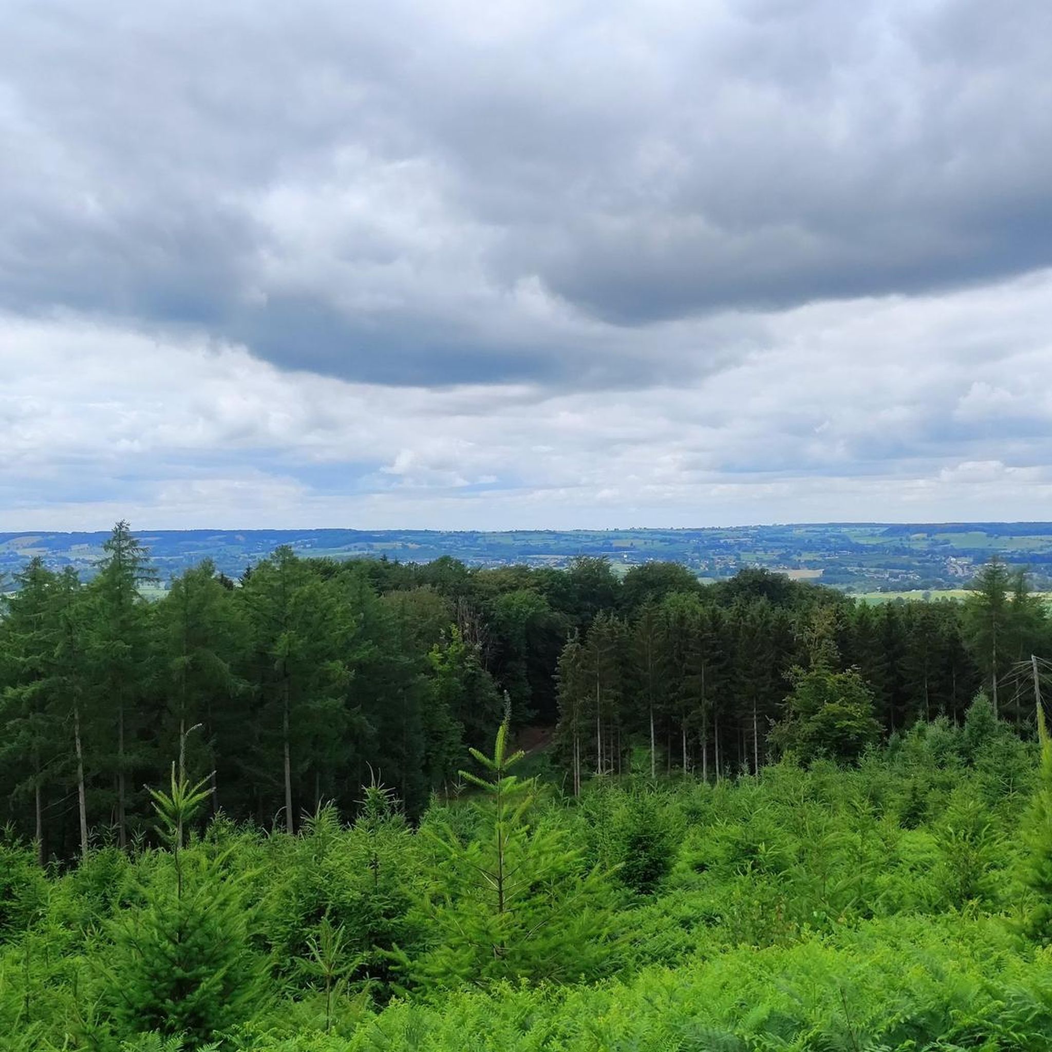
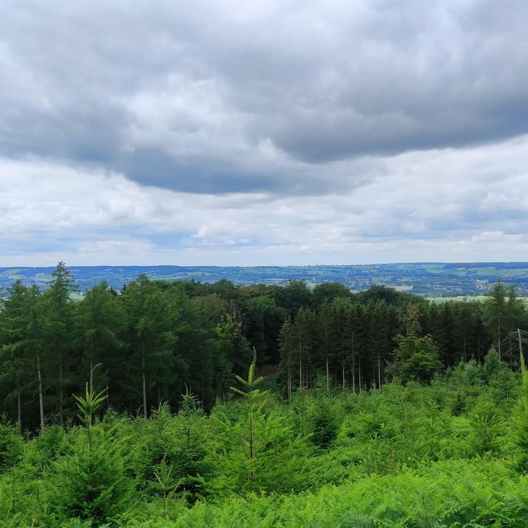
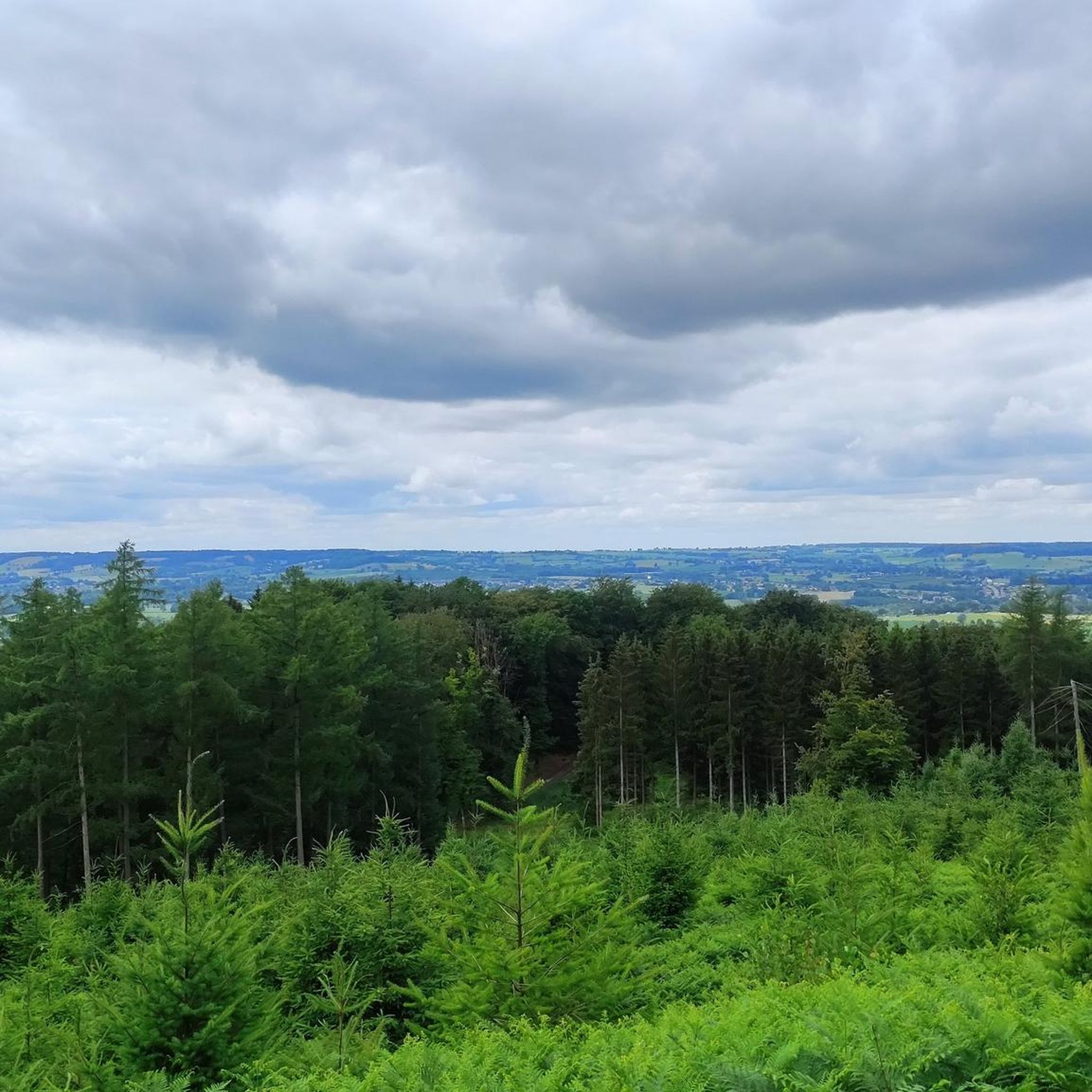
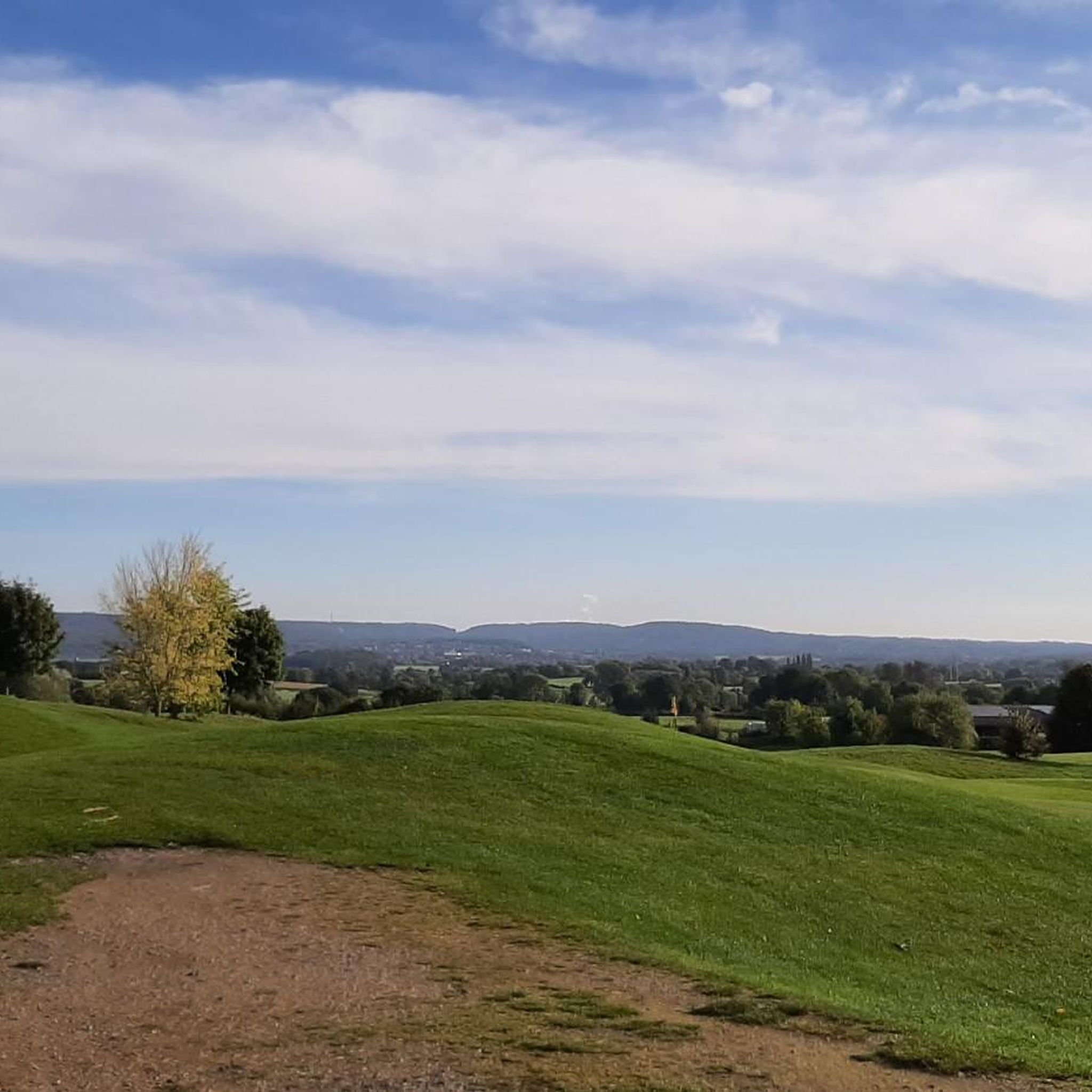
The Hakkenberg is one of the higher points in the Limburg hills, at an altitude of 252 meters. From here, you have a beautiful view of the surrounding rolling fields, forests, and villages that reflect the character of South Limburg.
0
0


nice goal 3 countries point! coffee and on
2
0

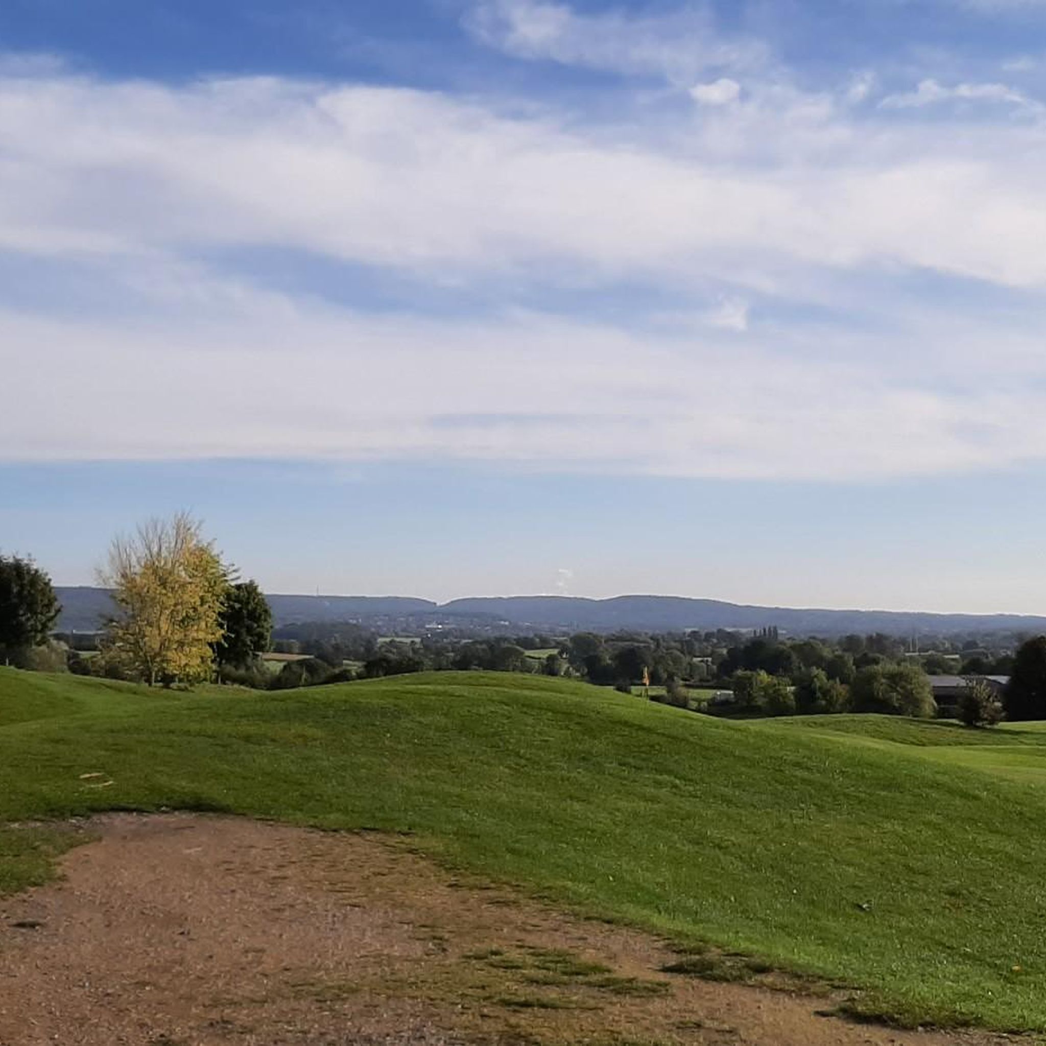
Lovely place with beautiful surroundings.
0
0

This is called 'the climb' from the Netherlands, but this segment on Komoot is in the direction of descent. Not a big deal, but you should see it when you are creating a route.
3
0

Yes, another one that you must have done in South Limburg
3
0

The highest point in the Netherlands coincides with the three-country point and is an important tourist attraction.
21
0

As early as the late Middle Ages, the border of the former Aachen Empire, fortified with the Aachen Moat, ran from south to north across the ridge of the Vaalserberg. From 1839 to 1919, the Vaalserberg, with the disputed area of Neutral Moresnet as the fourth country, was even a four-country corner (Vierlandenpunt), which is still remembered in the name of the access road on the Dutch side - Viergrenzenweg. During the First World War, from 1915 to 1918, the high-voltage border barrier stretched along the Belgian-Dutch border for a length of 300 kilometers from the then four-country corner on the Vaalserberg to the Belgian North Sea coast near Knokke. The German invasion of Belgium in 1914 via Gemmenich to Diksmuide, which brought much suffering to the Belgian population, is commemorated by a memorial made of compressed war material at the southern tip of the Vaalserberg, called Via Dolorosa.
23
0
Frequently Asked Questions
What are the most prominent elevated areas or "peaks" around Welkenraedt?
While Welkenraedt is characterized by rolling hills rather than traditional mountain peaks, the most notable elevated area is the Vaalserberg Three-Country Point. This unique location marks where the borders of Belgium, Germany, and the Netherlands meet, and it is also recognized as the highest point in the Netherlands at 323 meters above sea level. The region's highest point overall reaches approximately 354 meters.
Are there any challenging climbs or routes for experienced hikers or cyclists near Welkenraedt?
Yes, for those seeking a moderate challenge, the Vaalserberg Climb via Route des Trois Bornes offers a 2.2 km route with 106 meters of elevation gain, providing beautiful vistas towards Belgium. Another option is the Vaalserberg Climb from the Netherlands, which offers a good ascent/descent experience.
What kind of views can I expect from the elevated points around Welkenraedt?
From elevated points like the View of Vaals and the Schneeberg, you can enjoy panoramic vistas of the surrounding picturesque countryside, including views of Vaals and the Schneeberg. The observation tower at the Vaalserberg Three-Country Point also provides unobstructed views of the three bordering countries.
Are there family-friendly activities or trails near the elevated areas of Welkenraedt?
Absolutely. The Vaalserberg Three-Country Point is considered family-friendly, offering more than just a border marker. There's a small 'amusement park' with restaurants, a labyrinth, and a viewing tower, making it an enjoyable destination for all ages. Many of the local hiking trails are also suitable for families.
What outdoor activities can I do near the elevated areas of Welkenraedt?
The rolling hills and varied topography around Welkenraedt are ideal for various outdoor activities. You can enjoy hiking on trails like the easy Notre-Dame des Rotières Shrine loop, or explore moderate routes such as the Flagpole and viewpoint – Narrow Footpath loop. Cycling is also popular, with options like the Moresnet Viaduct – Saint Rochus Chapel loop. For gravel biking, consider the Moresnet Viaduct – RAVeL 39 Moresnet Railway Path loop.
What is the best time of year to visit the elevated areas around Welkenraedt?
The region's gentle, undulating terrain makes it suitable for outdoor activities throughout much of the year. Spring and autumn offer pleasant temperatures and beautiful scenery with blooming flowers or colorful foliage. Summer is also popular, though it can be warmer. Winter hiking is possible, but conditions may vary, especially on higher grounds.
Are there historical or cultural landmarks near the elevated points?
Yes, the Vaalserberg Three-Country Point itself is a significant historical site, marking the convergence of three European nations. Historically, it was even a four-country point with the neutral Moresnet area. The Vaalserberg also has prehistoric burial mounds, likely from the Bronze Age, and an iron smelter from Roman times in the nearby Vijlenerbos.
What are the typical terrain and difficulty levels for hiking around Welkenraedt's elevated areas?
The terrain around Welkenraedt generally consists of rolling hills and varied topography, making most trails suitable for recreational hiking. You'll find a mix of easy and moderate routes, often winding through lush forests, open fields, and along elevated sections. While there are no strenuous mountain climbs, some routes, like the Vaalserberg Climb via Route des Trois Bornes, offer a good workout with moderate gradients.
Can I find cafes or restaurants near the hiking trails and elevated points?
Yes, especially around popular spots like the Vaalserberg Three-Country Point, you'll find restaurants and cafes. The Pays de Herve region is known for its charming villages, and many hiking routes pass through or near communities where you can find places to eat and drink.
Are dogs allowed on the trails around Welkenraedt's elevated areas?
Many trails in the Welkenraedt region are dog-friendly, allowing you to enjoy the outdoors with your canine companion. It's always a good practice to keep dogs on a leash, especially in nature reserves or areas with livestock, and to check for specific local regulations or signage at trailheads.
What makes the elevated areas around Welkenraedt unique compared to other regions?
The uniqueness of Welkenraedt's elevated areas lies in its gentle, undulating terrain within the picturesque Pays de Herve. While not offering traditional high mountain peaks, it provides diverse landscapes and scenic views, particularly from the Vaalserberg Three-Country Point, where three countries meet. This blend of accessible elevations, charming countryside, and historical significance offers a distinct outdoor experience.
Most popular routes around Welkenraedt
Most popular attractions around Welkenraedt

Get inspired with the komoot mobile app


Explore more
See even more amazing summits around Welkenraedt with these guides:
