The best cycling routes in Corredor Ecológico Del Noreste
5.0
(1)
25
riders
2
rides
Touring cycling in Corredor Ecológico Del Noreste offers routes through a diverse landscape, characterized by its ecological corridor along the northeastern coast of Puerto Rico. The region features a mix of coastal paths, sandy beaches, and lush forest areas, with some routes venturing inland to explore natural waterways and waterfalls. Elevation changes are present, ranging from flat coastal stretches to more challenging climbs in the interior.
Best touring cycling routes in Corredor Ecológico Del Noreste
- The most popular touring cycling…
Last updated: July 15, 2026
15
riders
77.8km
04:34
200m
200m
Moderate bike ride. Good fitness required. Mostly paved surfaces. Suitable for all skill levels.
5.0
(1)
5
riders
42.2km
03:09
960m
960m
Hard bike ride. Very good fitness required. Mostly paved surfaces. Suitable for all skill levels.

Sign up for free
5
riders
22.7km
01:20
90m
90m
Easy bike ride. Great for any fitness level. Mostly paved surfaces. Suitable for all skill levels.
Our route recommendations are based on thousands of hikes, rides, and runs completed by other people on komoot.
Start today with a free account
Your next adventure awaits.
Login or Signup
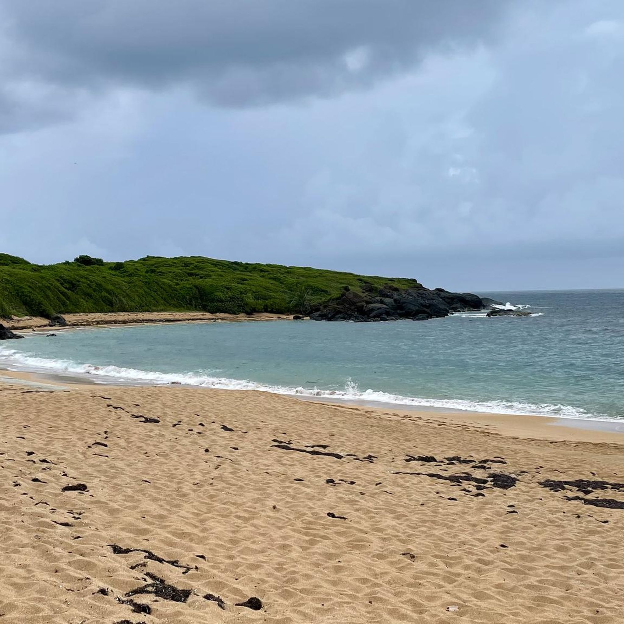
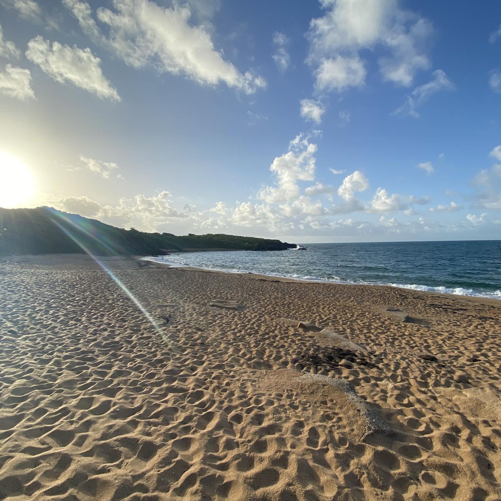


Tips from the Community


You can walk at any time, but it is much better to arrive before 9 am.
0
0

From the parking lot, cross walk along the roadway to see the actual waterfall. La Coca Trail trailhead is located on the same side as the parking area.
0
0

Walk that runs along the coastline. It is in terrible condition for much of the journey. There is a lot of glass on the path and on the planked part there are several sections that are on the verge of collapse. The road runs through part of the Piñones State Forest and passes through several scenic spots, including the old viewpoint that Hurricane María took away.
0
0

No excuse for not dipping into these cold, crystalline waters after a refreshing climb up the forest road.
0
1
From here the Ferries leave for Culebra and Vieques
0
0

Worthwhile detour from the "Forest Road" - here you can visit 3 levels of the "Juan Diego" creek with 3 waterfalls of different heights. The first level can easily be reached via steps. The second level requires a bit of climbing. A climbing rope is used to help on site (see photos). The best place to refresh yourself is under the falling water. The 3rd level can be reached via a steep path, where you will find a beautiful natural pool for bathing, where the lowest frequency of people can be measured;) Don't forget your bathing suit. If all this is not enough for you, you can simply continue to walk in the opposite direction to the creek - adventure guaranteed;)
4
0
Frequently Asked Questions
How many touring cycling routes are available in Corredor Ecológico Del Noreste?
Komoot features a selection of touring cycling routes in Corredor Ecológico Del Noreste, offering diverse experiences. Currently, there are several curated routes, including options for various skill levels.
Are there easy touring cycling routes suitable for beginners or families?
Yes, Corredor Ecológico Del Noreste offers routes suitable for those seeking an easier ride. For instance, the Playa Medio Mundo loop from Ceiba is an easy 12.5-mile (20.1 km) coastal trail, perfect for a relaxed outing.
What is the typical length of touring cycling routes in Corredor Ecológico Del Noreste?
Route lengths vary significantly, catering to different preferences. You can find shorter coastal loops like the Playa Medio Mundo loop from Ceiba at 12.5 miles (20.1 km), up to longer journeys such as the Pocita de Piñones Beach – Piñones Boardwalk loop from Luquillo, which spans 48.3 miles (77.8 km).
Are there any circular touring cycling routes in the region?
Many of the touring cycling routes in Corredor Ecológico Del Noreste are designed as loops, allowing you to start and end at the same point. Examples include the Pocita de Piñones Beach – Piñones Boardwalk loop from Luquillo and the Juan Diego Creek – La Coca Falls loop from Luquillo.
What natural attractions can I see along the touring cycling routes?
The region is known for its ecological beauty. Routes often feature coastal paths, sandy beaches, and lush forest areas. The Juan Diego Creek – La Coca Falls loop from Luquillo, for example, takes you through forested areas, passing by natural creeks and the notable La Coca Falls.
What do other touring cyclists enjoy most about cycling in Corredor Ecológico Del Noreste?
The area is highly rated by the komoot community, with an average score of 5.0 stars. Cyclists often praise the diverse landscape, which includes extensive coastal views, rides along boardwalks, and trails through natural forest areas with waterfalls.
Are there any challenging touring cycling routes for experienced riders?
Yes, for more experienced touring cyclists, there are routes with significant elevation changes. The Juan Diego Creek – La Coca Falls loop from Luquillo is classified as difficult, featuring substantial climbs through forested terrain.
What kind of terrain can I expect on touring cycling routes in Corredor Ecológico Del Noreste?
The terrain is varied, reflecting the region's ecological diversity. You'll encounter flat coastal stretches, paved sections along boardwalks, and more challenging climbs when routes venture inland into forested areas. Some paths may include sandy sections near beaches.
What is the best time of year for touring cycling in Corredor Ecológico Del Noreste?
Given its tropical climate, touring cycling is generally possible year-round. However, the drier months from December to April typically offer more comfortable conditions with less rain and slightly cooler temperatures, making them ideal for exploring the region's diverse routes.
Are there opportunities to explore coastal areas on touring bikes?
Absolutely. Many routes in Corredor Ecológico Del Noreste highlight the stunning coastline. The Pocita de Piñones Beach – Piñones Boardwalk loop from Luquillo is a prime example, offering extensive coastal views and a ride along the famous Piñones Boardwalk.
Can I find routes that combine both coastal and inland scenery?
Yes, the region's unique ecological corridor allows for routes that transition between coastal and more interior landscapes. You can experience the contrast of ocean views and lush forest, often encountering natural waterways and diverse flora along the way.
Most popular routes in Corredor Ecológico Del Noreste

Get inspired with the komoot mobile app


