The best cycling routes around Westway
22
riders
5
rides
Touring cycling routes around Westway are primarily found in the El Paso, Texas area, characterized by its arid landscape and prominent mountain ranges. The region features the Franklin Mountains, offering routes with notable elevation changes and scenic views. Alongside these mountainous paths, the area also provides flatter trails along river corridors. This diverse terrain caters to various touring cycling preferences, from challenging climbs to more relaxed riverside rides.
Best touring cycling routes around Westway
- The most popular touring cycling route…
Last updated: June 27, 2026
15.8km
01:11
380m
370m
Moderate bike ride. Good fitness required. Mostly paved surfaces. Suitable for all skill levels.
7
riders
21.3km
01:13
10m
10m
Easy bike ride. Great for any fitness level. Mostly paved surfaces. Suitable for all skill levels.

Sign up for free
6
riders
12.3km
01:18
280m
280m
Moderate bike ride. Good fitness required. Mostly paved surfaces. Suitable for all skill levels.
6
riders
10.7km
01:03
140m
140m
Easy bike ride. Great for any fitness level. Mostly paved surfaces. Suitable for all skill levels.
3
riders
10.7km
00:41
20m
20m
Easy bike ride. Great for any fitness level. Mostly paved surfaces. Suitable for all skill levels.
Our route recommendations are based on thousands of hikes, rides, and runs completed by other people on komoot.
Start today with a free account
Your next adventure awaits.
Login or Signup


Tips from the Community

The Mammoth is a well-known local landmark, named for its resemblance to the extinct beasts. The steep rock formation stands at 6,285 ft (1915.7 m), and is enjoyed by spectators and rock climbers alike.
0
0

The Rio Grande Trail is a rail trail that, as the name suggests, follows the Rio Grande. It is built on the Aspen Branch of the historic Denver and Rio Grande Western Railroad. The trail is mostly paved, but there are some sections that are packed gravel.
2
1

There is a paved path and a dirt road that follows along the Rio Grande here. You can make the route longer or shorter by going further (or shorter) down the trail. This is a popular spot for runners, walkers, and bikers, and it's best to get on it early before the sun is up for the day.
0
0
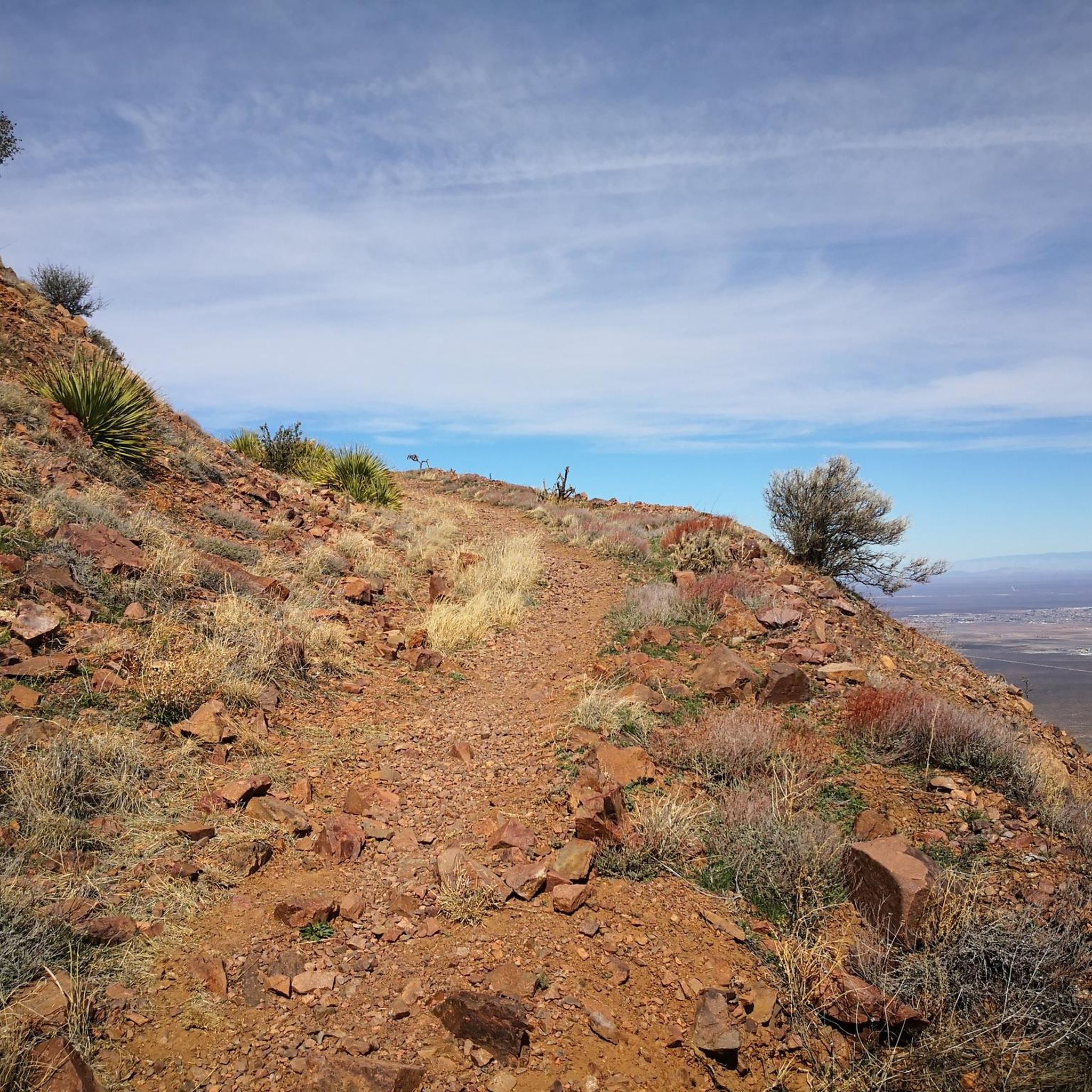
The northern terminus of the Ron Coleman Trail is off of the side of the highway at Smuggler's Pass. There is a huge parking area and small trailhead marking the area. There are a multitude of trailheads along this side of the highway as you work your way west. If running along the ridge to South Franklin Mountain, be aware that this is a technical trail and a fall could be dangerous in places.
0
0
The northern terminus of the Ron Coleman Trail is off of the side of the highway at Smuggler's Pass. There is a huge parking area and small trailhead marking the area. There are a multitude of trailheads along this side of the highway as you work your way west.
0
0

Little bit of a walk to get here if you hand thin tires (MTN Bikes should be fine), but it's a nice, multi-use route.
0
0
Frequently Asked Questions
How many touring cycling routes are available around Westway?
There are 4 touring cycling routes available around Westway, offering a variety of experiences for cyclists.
Are there any easy touring cycling routes suitable for beginners or families?
Yes, Westway offers several easy routes. The River Park Trail is a great option, covering over 21 km with minimal elevation gain. Another easy choice is the Rio Grande Trail loop from GECU, which is nearly 18 km long and also features very gentle gradients.
What are some more challenging touring cycling routes in the Westway area?
For those seeking a moderate challenge, the Trans-Mountain Highway: El Paso and Franklin Mountains route offers a 15.7 km ride with over 370 meters of elevation gain. Another moderate option is the Lechuguilla Trail loop from Lost Dog Nature Preserve, which is 12.3 km long with significant climbs.
What kind of natural attractions or landmarks can I see along the cycling routes?
The Westway area, particularly around El Paso, is known for its dramatic rock formations and trails. You can explore highlights like the Aztec Cave and Tin Mines. Many routes also offer views of the Franklin Mountains and follow sections of the Rio Grande Trail.
Are there any circular touring cycling routes available?
Yes, several routes are designed as loops. The Lechuguilla Trail loop from Lost Dog Nature Preserve and the Rio Grande Trail loop from GECU are both excellent circular options, allowing you to start and finish at the same point.
What is the best time of year to go touring cycling in Westway?
Given the region's climate, the cooler months from late autumn through spring (October to April) are generally ideal for touring cycling in Westway. Summers can be very hot, making early mornings or late afternoons the only comfortable times to ride.
Are there any routes that offer scenic viewpoints?
Routes that traverse the Franklin Mountains, such as the Trans-Mountain Highway, will provide excellent scenic viewpoints of the surrounding desert landscape and the city of El Paso.
What do other touring cyclists enjoy most about cycling in Westway?
Cyclists often appreciate the unique desert landscapes, the challenging climbs offered by routes in the Franklin Mountains, and the accessibility of paved trails like the Rio Grande. The blend of urban and natural scenery is also a common highlight.
Are there any hidden gem cycling routes in the Westway area?
While not widely known, the Lechuguilla Trail loop from Franklin High School offers a moderately challenging ride through less frequented areas, providing a sense of discovery away from more popular paths.
Can I find information on parking near the trailheads?
Specific parking information for each trailhead is best found on the individual route pages or by checking local park websites. For routes like the Lechuguilla Trail loops, starting points near high schools or nature preserves often have designated parking areas.
Are there any long-distance touring cycling options in the Westway region?
While the individual routes listed are generally shorter, combining sections of trails like the River Park Trail and the Rio Grande Trail loop can create a longer, more extensive touring experience along the Rio Grande.
Most popular routes around Westway
Most popular attractions around Westway

Get inspired with the komoot mobile app


Explore more
Browse the best Cycling routes in other regions.
