The best waterfall hikes and walks in Whitley County
5.0
(12)
75
hikers
9
hikes
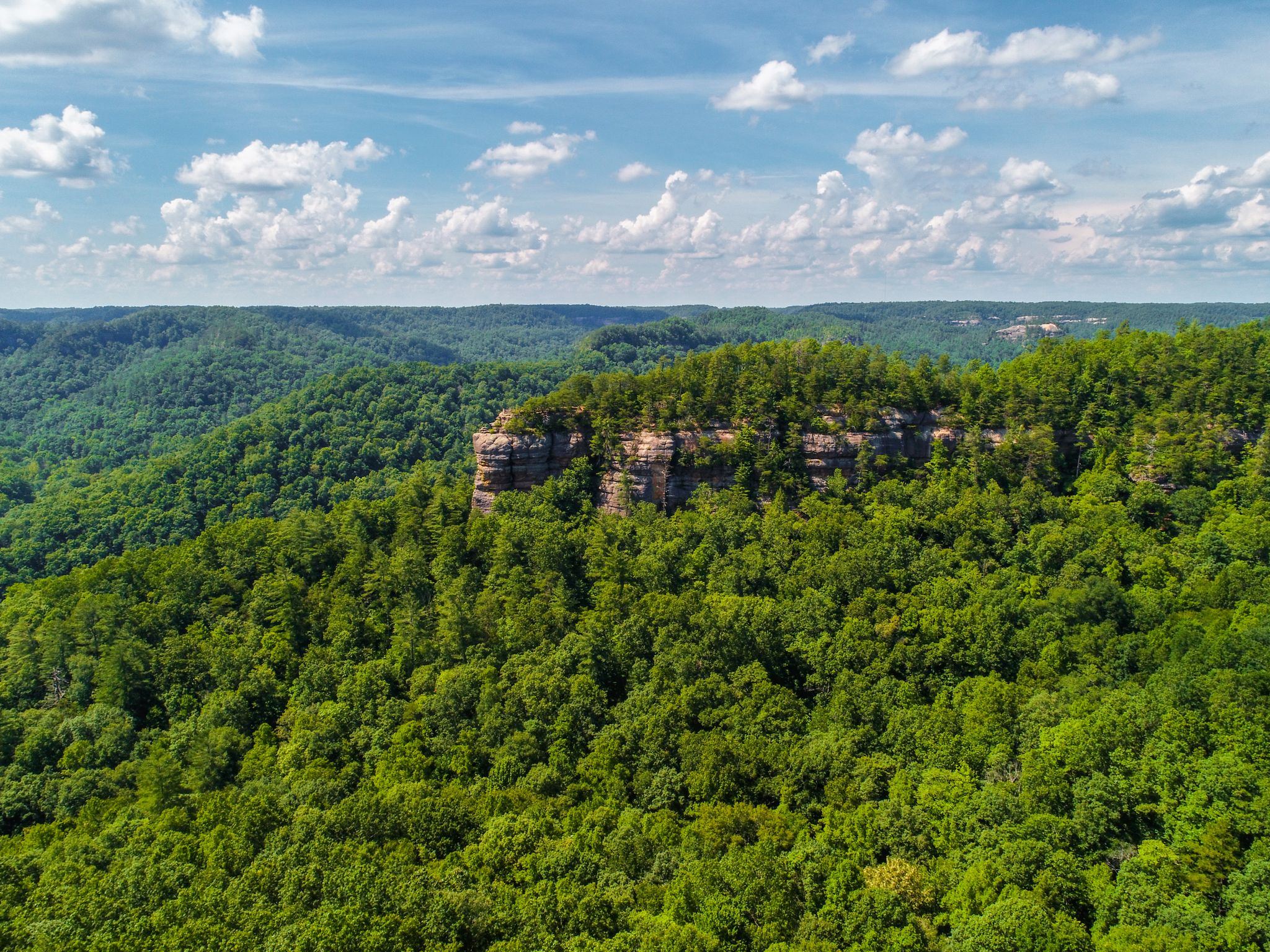
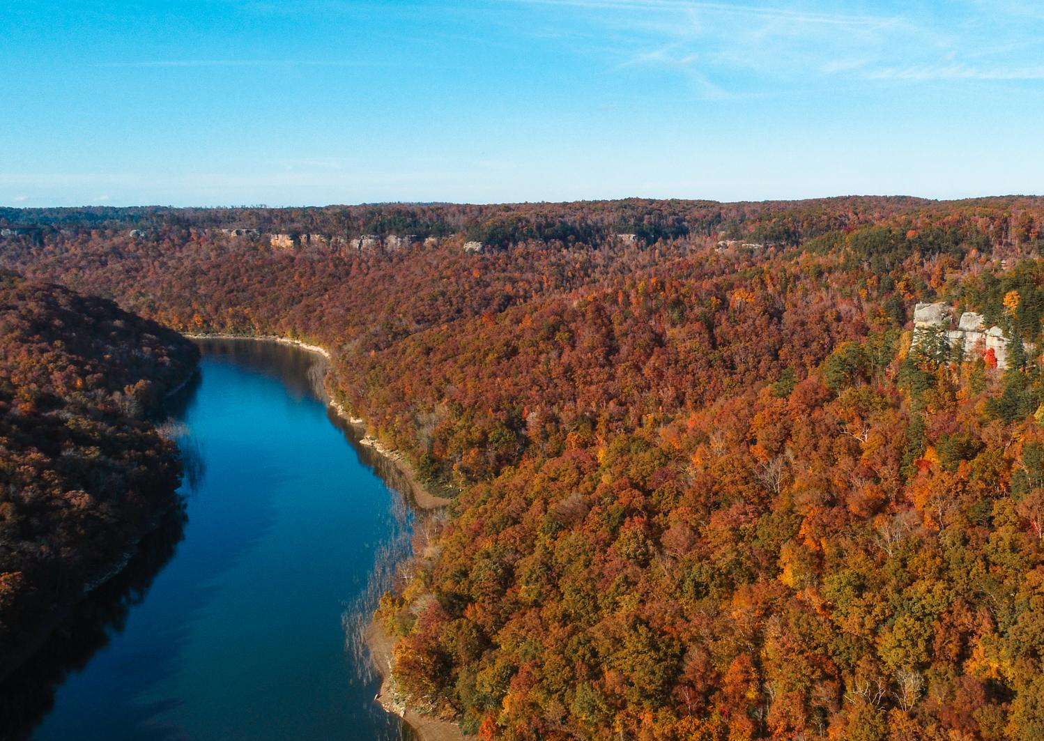
Waterfall hiking trails in Whitley County offer diverse and rugged landscapes within the Cumberland Mountains and Daniel Boone National Forest. The region is defined by the Pottsville Escarpment, creating sandstone cliffs, gorges, and numerous waterfalls. Dense, varied forests characterize the terrain, providing a natural setting for exploration. This area is particularly known for its impressive waterfalls and unique geological formations.
Best waterfall hiking trails in Whitley County
- The most popular waterfall hiking route is Sheltowee Trace Trail to Dog Slaughter…
Last updated: July 7, 2026
3.92km
01:03
20m
100m
Easy hike. Great for any fitness level. Easily-accessible paths. Suitable for all skill levels.
5.85km
01:38
90m
150m
Moderate hike. Great for any fitness level. Mostly accessible paths. Sure-footedness required.

Sign up for free
22.6km
06:10
320m
370m
Hard hike. Very good fitness required. Mostly accessible paths. Sure-footedness required.
5.0
(7)
17
hikers
3.05km
01:04
80m
80m
Easy hike. Great for any fitness level. Easily-accessible paths. Suitable for all skill levels.
12
hikers
11.1km
03:08
220m
220m
Moderate hike. Good fitness required. Mostly accessible paths. Sure-footedness required.
Get access to more routes and recommendations from other explorers.
Sign up for free
Already have an account?
Our route recommendations are based on thousands of hikes, rides, and runs completed by other people on komoot.
Start today with a free account
Your next adventure awaits.
Login or Signup


Tips from the Community

Known as the “Niagara of the South,” Cumberland Falls is a must-see with its powerful 70-foot drop. The state park also features other waterfalls like Eagle Falls, and during a full moon, it's one of the few places in the world where you can witness a rare moonbow. Easy trails lead to great viewpoints, and the surrounding park offers plenty of quiet spots by the river. Best visited after heavy rain for peak flow. Cumberland Falls Campground is a solid choice for camping, with prices starting at $22 per night. Other campground options are also available nearby if you prefer something different.
0
0
Known as the “Niagara of the South,” Cumberland Falls is a must-see with its powerful 70-foot drop. The state park also features other waterfalls like Eagle Falls, and during a full moon, it's one of the few places in the world where you can witness a rare moonbow. Easy trails lead to great viewpoints, and the surrounding park offers plenty of quiet spots by the river. Best visited after heavy rain for peak flow. Cumberland Falls Campground is a solid choice for camping, with prices starting at $22 per night. Other campground options are also available nearby if you prefer something different.
0
0

Dog Slaughter Falls is an incredible beauty spot and just the place to sit and take in the wonder of nature. Some say it is the best waterfall in all of Daniel Boone National Forest. Don't be put off by the name. It is simply stunning.
1
0
Above Eagle Creek Falls the trail continues alongside Eagle Creek. You can see where the water has carved smooth curves in the rocks as it meanders downstream.
0
0

The well-known and well-visited Cumberland Falls can show different faces depending on the season and recent weather. Viewable from both banks of the Cumberland River, the falls is a popular site for a reason!
0
0
Though very near a popular, high-traffic trail system, this little waterfall and pool feel pleasantly isolated. It's especially beautiful in fall, but be ready for slippery, muddy conditions!
1
0

Frequently Asked Questions
How many waterfall hiking trails are available in Whitley County?
Whitley County offers a variety of waterfall hiking experiences, with nearly 10 distinct routes available. These trails range from easy strolls to more challenging treks, ensuring options for different skill levels.
What are some easy waterfall hikes suitable for families in Whitley County?
For an easy and family-friendly option, consider the Eagle Falls Trail. This 1.9-mile path provides access to the scenic Eagle Falls near Cumberland Falls. Another accessible choice is the Van Hook Falls and Cane Creek Valley route, a 2.4-mile trail through varied woodlands.
Are there any dog-friendly waterfall trails in Whitley County?
Many trails in Whitley County, including those leading to waterfalls, are dog-friendly, provided your pet is on a leash. A popular option is the Sheltowee Trace Trail to Dog Slaughter Falls, which is a moderate 3.6-mile hike that welcomes leashed dogs. Always check specific park regulations before heading out.
What is the best time of year to visit the waterfalls in Whitley County?
The waterfalls in Whitley County are beautiful year-round, but the best time to experience them with strong water flow is typically during spring (March to May) after snowmelt and spring rains, or after significant rainfall in other seasons. Fall (September to November) offers stunning foliage alongside the cascades, while summer provides a refreshing escape. Winter can offer unique frozen scenes, but trails may be more challenging.
Where can I find parking for popular waterfall trails like Dog Slaughter Falls or Eagle Falls?
Parking is generally available at trailheads for popular waterfall hikes. For Dog Slaughter Falls, parking can be found near the access points for the Sheltowee Trace Trail. For Eagle Falls, parking is typically available within Cumberland Falls State Resort Park, which serves as a gateway to several trails in the area.
What makes Whitley County a unique destination for waterfall hiking?
Whitley County's unique geology, defined by the Pottsville Escarpment, creates a dramatic landscape of sandstone cliffs, gorges, and dense forests, leading to numerous impressive waterfalls. It's home to Cumberland Falls, known as the 'Niagara of the South' and one of only two places in the world to regularly observe a 'moonbow.' The region also features massive stone arches and is part of the extensive Daniel Boone National Forest, offering a truly wild and natural hiking experience.
Are there any challenging waterfall hikes for experienced hikers?
Yes, for experienced hikers seeking a challenge, the Sheltowee Trace NRT Section 27 "Moonbow" offers a difficult 14-mile (22.6 km) hike with significant elevation changes, providing a strenuous adventure through the rugged terrain of the Daniel Boone National Forest.
What other natural attractions can I explore near the waterfall trails?
Beyond the waterfalls, Whitley County boasts impressive natural formations such as massive stone arches. Notable examples include Moonshiner's Arch, known for its size, and Hollow Rock Arch, a fascinating 'sandwich-like' arch with multiple 'windows.' These geological wonders often require short hikes to access and provide additional points of interest along your outdoor adventures.
What do other hikers say about the waterfall trails in Whitley County?
The waterfall trails in Whitley County are highly regarded by the komoot community, with an average rating of 5.0 stars from over 10 reviews. Hikers frequently praise the area's stunning natural beauty, the impressive waterfalls, and the diverse landscapes found within the Cumberland Mountains and Daniel Boone National Forest.
Can I find circular routes that include waterfalls in Whitley County?
Yes, there are circular routes that allow you to experience multiple features, including waterfalls. The Dog Slaughter Falls – Cumberland Falls State Park loop from Whitley City is a moderate 6.9-mile (11.1 km) loop that offers a comprehensive experience, combining the beauty of Dog Slaughter Falls with the broader landscape of Cumberland Falls State Park.
Is public transport available to reach the waterfall hiking areas in Whitley County?
Public transport options directly to the more remote trailheads in Whitley County, especially within the Daniel Boone National Forest, are limited. It is generally recommended to use a personal vehicle to access most waterfall hiking areas, including Cumberland Falls State Resort Park and the various trailheads for Dog Slaughter Falls.
What kind of wildlife might I encounter on waterfall hikes in Whitley County?
Whitley County's dense, diverse forests within the Cumberland Mountains and Daniel Boone National Forest are home to a variety of wildlife. Hikers might spot white-tailed deer, wild turkeys, and various bird species. Keep an eye out for smaller mammals and listen for the sounds of the forest. Always observe wildlife from a respectful distance.
Most popular routes in Whitley County

Get inspired with the komoot mobile app


Explore more
Browse the best Hikes in other regions.
