The best road cycling routes in Cucamonga Wilderness
5.0
(1)
36
riders
3
rides
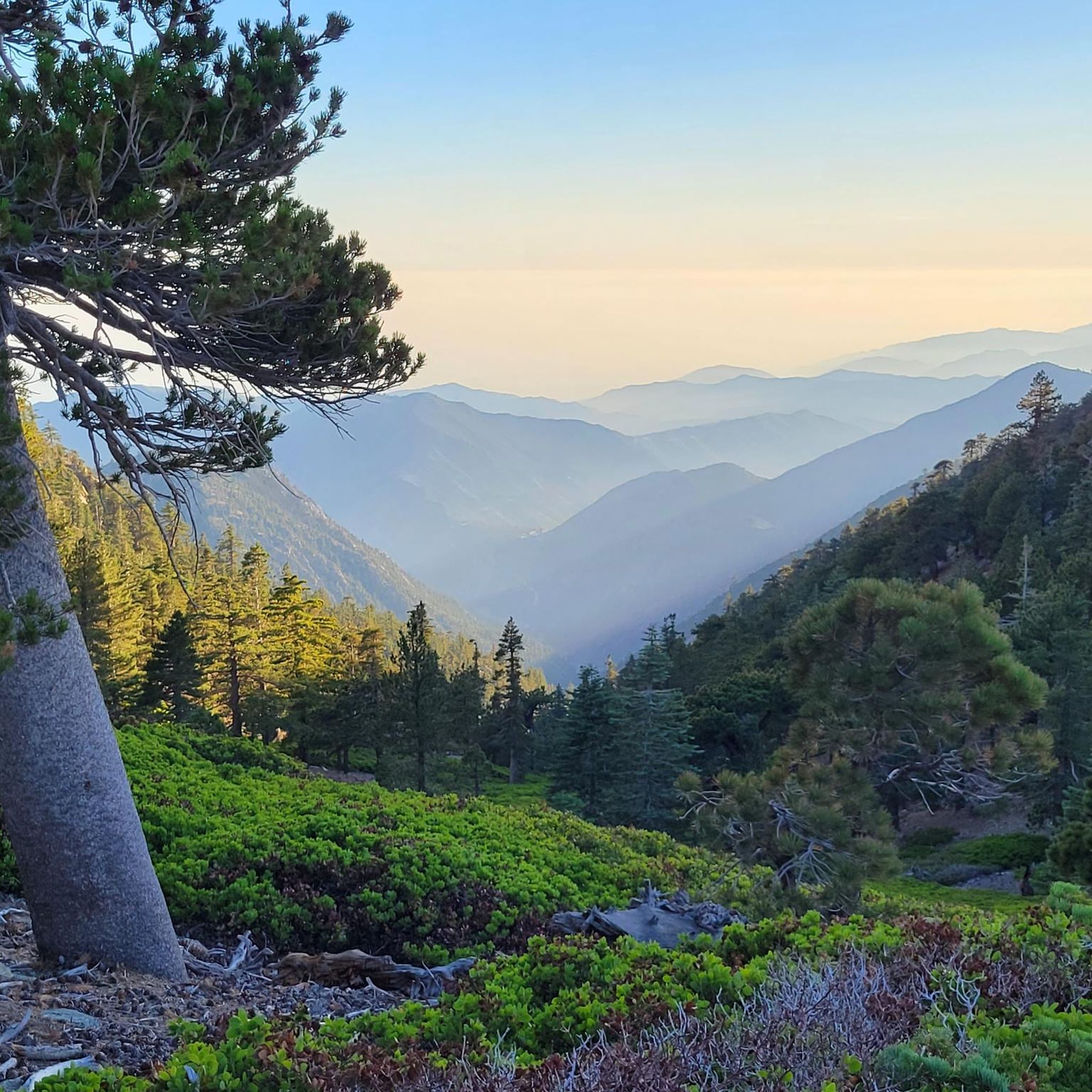
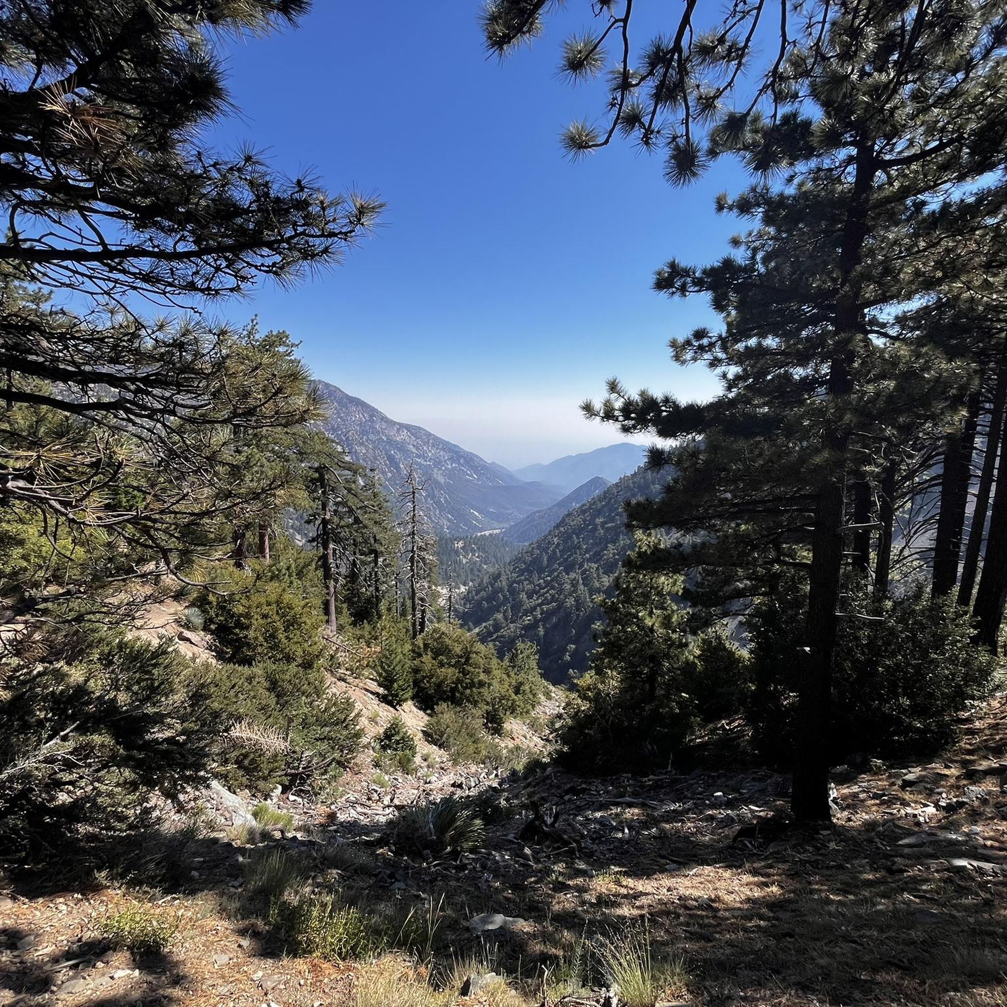
Road cycling routes in Cucamonga Wilderness offer diverse terrain bordering the rugged San Gabriel Mountains. This region is characterized by dramatic elevation changes, with routes winding through foothills and approaches to the wilderness area. Cyclists can experience well-paved surfaces and scenic views of the mountainous backdrop, transitioning from urban fringes to more remote, elevated landscapes.
Best road cycling routes in Cucamonga Wilderness
- The most popular road cycling route is Mount Baldy Village – Glendora Ridge Road loop from Mount Baldy…
Last updated: July 14, 2026
11
riders
28.0km
01:32
410m
410m
Moderate road ride. Good fitness required. Some segments of this route may be unpaved and difficult to ride.
5.0
(1)
10
riders
41.2km
01:52
410m
410m
Moderate road ride. Good fitness required. Mostly well-paved surfaces and easy to ride.

Sign up for free
64.5km
03:58
1,750m
1,750m
Hard road ride. Very good fitness required. Mostly well-paved surfaces and easy to ride.
15
riders
26.9km
01:47
800m
800m
Moderate road ride. Good fitness required. Mostly well-paved surfaces and easy to ride.
Our route recommendations are based on thousands of hikes, rides, and runs completed by other people on komoot.
Start today with a free account
Your next adventure awaits.
Login or Signup
Popular around Cucamonga Wilderness
Tips from the Community

The climb up Mount Baldy is a serious challenge, starting with a moderate grade that quickly intensifies as you ascend. As you pass through the village, the road narrows and steepens, with sections reaching 10-14% gradients and tight switchbacks that demand your focus. The final stretch to the summit, used in the Tour of California, offers a tough alpine ascent that tests even the most seasoned climbers.
0
0

Inspiration Point is a scenic viewpoint where the Pacific Crest Trail crosses the Angeles Crest Highway; there is a parking area here.
0
0
Vincent Gap has a restroom and parking and some nice views of the surrounding area. There is a gate beyond the gab heading west that is seasonally closed. Continue past the gates to further your adventure on the scenic Angeles Crest Highway.
0
0
Wrightwood is a charming mountain town sitting at an elevation of 6,208 feet and offers a range of services for hikers and bikers. Located 77 miles northeast of Los Angeles and along the Pacific Crest Trail, the town features a grocery store, hardware store, post office, lodging, and restaurants. Its atmosphere and amenities make it an ideal stop for bikers and hikers.
0
0
Lone Pine Canyon Road is a scenic and winding route connecting Wrightwood and the Cajon Pass area. Known for its curves and elevation changes, it’s a favorite among motorcyclists and bicyclists. The road has photo-worthy views of the San Gabriel and San Bernardino Mountains, as well as expansive desert landscapes below. It usually has low traffic compared to major highways. Be aware of the lack of shade and bring plenty to drink!
0
0
Cajon Pass, nestled between the San Bernardino and San Gabriel Mountains, has desert views and active train lines running through the area. Visitors take advantage of convenient fast-food stops here as well.
1
0
The Los Angeles County Department of Public Works currently operates the San Dimas Dam, a concrete gravity dam within the San Gabriel Mountains. It was built by the Los Angeles County Flood Control District in 1922, and today it stores water only after substantial winter storms and diverts floodwaters from San Dimas Wash to Puddingstone Reservoir.
0
0

The Puddingstone Diversion Reservoir was completed in 1928. This is a diversion dam that takes the water from San Dimas Creek and then divert it into a 3-mile channel that ends in the main reservoir.
1
0
Frequently Asked Questions
Are bicycles allowed within the Cucamonga Wilderness itself?
No, bicycles are explicitly prohibited within the designated Cucamonga Wilderness boundaries to preserve its pristine nature. The rugged trails and peaks within the wilderness are reserved for non-mechanized activities like hiking and backpacking. However, the surrounding region offers excellent road cycling opportunities.
What are some popular road cycling routes in the region surrounding Cucamonga Wilderness?
The area offers diverse routes. A popular choice is the Mount Baldy Village – Glendora Ridge Road loop from Mount Baldy, known for its scenic mountain roads. Another favorite is the San Dimas Reservoir loop from Omni, offering rolling terrain and varied scenery. The Cajon Pass to Vincent Gap route also provides a challenging ride through mountain passes.
Are there family-friendly paved bike trails in the Rancho Cucamonga area?
Yes, for a more leisurely and family-friendly experience, the Pacific Electric Trail is an excellent option. This nearly 20-mile paved trail follows the route of the historic Pacific Electric Railway, providing a mostly car-free option with scenic views and wide linear parks. Portions of Historic Route 66 near Rancho Cucamonga also offer well-paved surfaces, sometimes with bike lanes.
Where can I find challenging road cycling routes with significant climbs?
For those seeking a challenge, the Mount Baldy Village – Glendora Ridge Road loop from Mount Baldy is a difficult route with significant elevation gain. The Mount Baldy Cycling Route itself is a challenging 13-mile climb with over 4,700 feet of elevation gain, offering an epic experience for very fit cyclists. The Cajon Pass to Vincent Gap also presents a demanding ride through mountain passes.
What kind of views or natural features can I expect along road cycling routes in the region?
Road cycling routes in the area offer stunning views of the San Gabriel Mountains, including prominent peaks like Cucamonga Peak and Telegraph Peak. You'll experience dramatic elevation changes, winding through foothills, canyons, and past reservoirs. Routes like San Gabriel Canyon Road (Highway 39) offer picturesque scenery of the Morris and San Gabriel Reservoirs. The diverse ecosystems mean you might spot local wildlife, though direct encounters are rare on main roads.
What is the best time of year to go road cycling in the Cucamonga Wilderness area?
The region offers good cycling conditions for much of the year. Spring and fall generally provide the most pleasant temperatures for road cycling. Summer can be hot, especially at lower elevations, so early morning rides are recommended. Winter cycling is possible, but higher elevation routes may be affected by colder temperatures or occasional snow, so checking weather conditions is advisable.
Are there cafes or places to refuel near the road cycling routes?
Yes, Mount Baldy Village, located along the challenging Mount Baldy Cycling Route, serves as a great spot to refuel and enjoy the alpine community. Additionally, routes closer to urban areas like Rancho Cucamonga and Upland will have various cafes, restaurants, and convenience stores available for refreshments and breaks.
What do other road cyclists enjoy about the routes near Cucamonga Wilderness?
The routes in Cucamonga Wilderness are highly rated by the komoot community, with an average score of 5.0 stars. Reviewers often praise the diverse terrain, from rolling hills to significant mountain climbs, and the stunning scenic views of the San Gabriel Mountains. The variety of options for different ability levels is also frequently highlighted.
Can I bring my dog on road cycling trails near Cucamonga Wilderness?
While the wilderness itself has strict regulations, many paved multi-use trails in the surrounding areas, such as the Pacific Electric Trail, are generally dog-friendly, provided dogs are kept on a leash. Always check specific trail regulations before heading out, as rules can vary.
Are there any good circular road cycling routes in the area?
Yes, several routes offer a circular experience. The Mount Baldy Village – Glendora Ridge Road loop from Mount Baldy is a popular circular route. Another option is the San Dimas Reservoir loop from Omni, which provides a moderate circular path around the reservoir.
What are some good road cycling routes for beginners or those looking for an easier ride?
For beginners or those preferring an easier ride, the Pacific Electric Trail is an excellent choice, offering a mostly flat and paved surface. The Jaeger Park loop from Desilting Basin G is another moderate option with manageable elevation changes, suitable for a less strenuous outing.
How long are the road cycling routes typically in this area?
The road cycling routes in the region vary significantly in length. For example, the Mount Baldy Village – Glendora Ridge Road loop from Mount Baldy is about 24.2 miles (39.0 km), while the Cajon Pass to Vincent Gap route extends to 40.1 miles (64.5 km). There are options ranging from shorter loops to longer, more challenging rides.
Most popular attractions in Cucamonga Wilderness

Get inspired with the komoot mobile app


Explore more
Browse the best Road cycling routes in other regions.
