
The best running trails in Taubaté
25
runners
5
runs
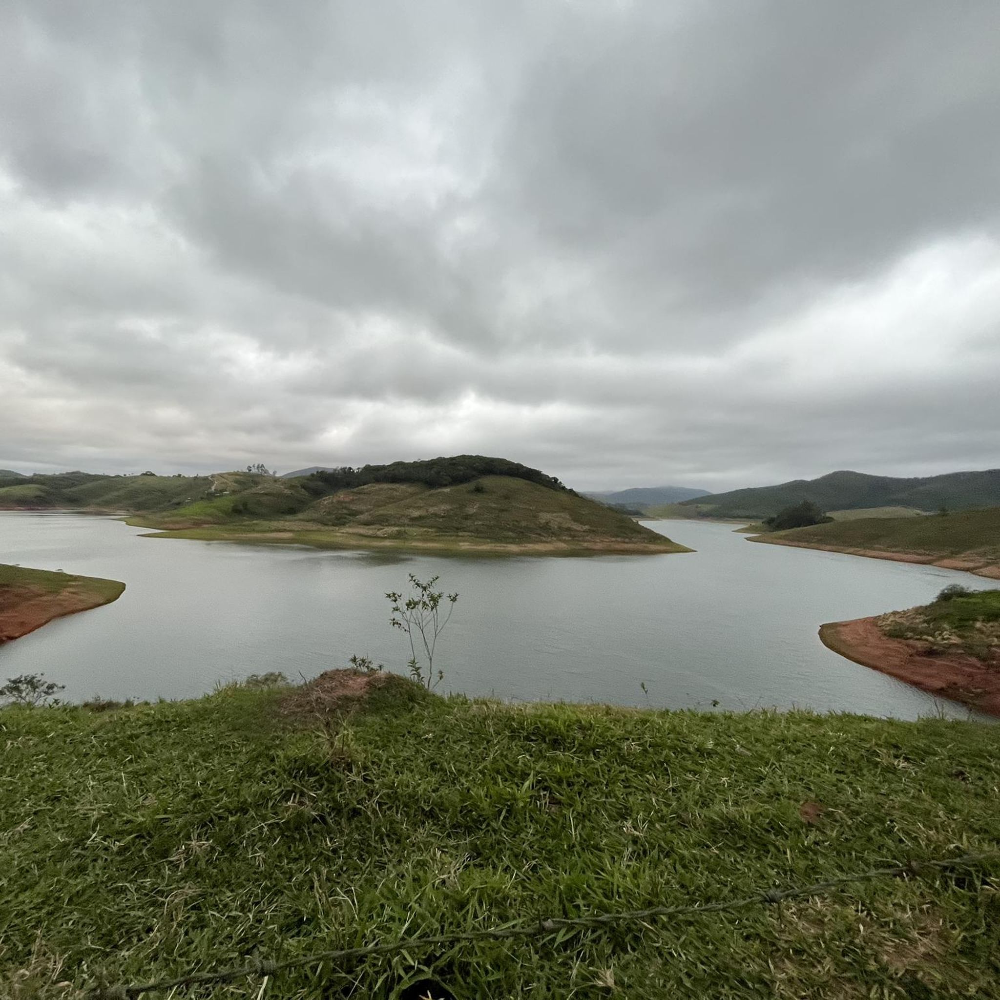
Jogging in Taubaté offers access to diverse green spaces and scenic landscapes within the Paraíba Valley. The city, located in São Paulo state, provides a variety of natural environments suitable for running, from expansive municipal parks to routes offering views of the surrounding countryside. Its terrain primarily features gentle elevations, making it accessible for various fitness levels. The local running culture is supported by organized events and dedicated paths, ensuring a welcoming environment for runners.
Best jogging routes in Taubaté
…Last updated: July 8, 2026
7
runners
6.46km
00:40
20m
20m
Moderate run. Good fitness required. Mostly paved surfaces. Suitable for all skill levels.
5
runners
6.05km
00:38
40m
40m
Moderate run. Good fitness required. Mostly paved surfaces. Suitable for all skill levels.

Sign up for free
6
runners
5.92km
00:37
20m
20m
Moderate run. Good fitness required. Mostly paved surfaces. Suitable for all skill levels.
4
runners
5.35km
00:35
30m
30m
Moderate run. Good fitness required. Mostly paved surfaces. Suitable for all skill levels.
3
runners
10.4km
01:07
140m
140m
Moderate run. Good fitness required. Mostly paved surfaces. Suitable for all skill levels.
Our route recommendations are based on thousands of hikes, rides, and runs completed by other people on komoot.
Start today with a free account
Your next adventure awaits.
Login or Signup
Popular around Taubaté

Frequently Asked Questions
How many running routes are available in Taubaté?
Komoot features over 5 running routes in Taubaté, offering a variety of options for different preferences and fitness levels. These routes are primarily of moderate difficulty, ensuring an accessible experience for most runners.
Are there any long-distance running trails in Taubaté?
Yes, for those looking for a longer run, the Running loop from Base de Aviação de Taubaté is an excellent option. This route spans approximately 10.4 km (6.5 miles) and features a moderate elevation gain, making it suitable for a sustained effort.
What kind of terrain can I expect on Taubaté's jogging routes?
Taubaté's running routes offer a mix of urban and natural settings. You can expect paths through green spaces like the Horto Municipal, as well as routes that incorporate city streets. Some trails, particularly those used for local events like the Corrida da Independência, may include varied terrain with some dirt paths.
Are there any family-friendly jogging paths in Taubaté?
While all routes listed are of moderate difficulty, the city's green spaces are generally family-friendly. The Horto Municipal, with its walking trails and picnic areas, is a great spot for families to enjoy a leisurely jog or walk together. The Running loop from Lavadouro de Areia also leads through urban and green areas, offering a pleasant environment.
Can I bring my dog on the running trails in Taubaté?
Many green spaces in Taubaté, such as the Horto Municipal, are generally welcoming to dogs, often requiring them to be on a leash. For specific komoot routes, it's always best to check the individual route details or local signage for any restrictions, but generally, outdoor areas are dog-friendly.
Are there scenic running routes with viewpoints in Taubaté?
Absolutely! Taubaté offers several spots with beautiful views. While not directly on a komoot route, areas like Pedra Branca provide stunning views of the Paraíba Valley, and the Mirante da Estrada do Pinhão is known for its picturesque sunsets. These locations suggest opportunities for scenic runs or detours with rewarding vistas.
What are the best times of year for running in Taubaté?
Taubaté generally has a tropical climate. The cooler, drier months, typically from May to September, are often considered the most comfortable for outdoor activities like running, as temperatures are milder and humidity is lower. However, running is possible year-round, with early mornings or late afternoons being ideal during warmer periods.
Are there circular running routes available?
Yes, all the running routes highlighted in this guide are circular loops. For example, the popular Running loop from Taubaté offers a moderate 6.0 km (3.8 miles) path that brings you back to your starting point.
Where can I find parking near the running trails?
For routes that start in urban areas or near public parks, street parking is often available. For instance, routes originating near the city center or larger green spaces like the Horto Municipal typically have accessible parking options. It's advisable to check the specific starting point of your chosen route for the most convenient parking.
Are there any waterfalls or natural attractions near the running routes?
Yes, the region around Taubaté boasts natural beauty. The Cachoeira da Pedra Grande, a beautiful waterfall, is located less than 40 minutes from the city center. While not directly on a komoot running route, it offers a fantastic natural escape that could be combined with a run or visited separately for its scenic beauty.
What makes Taubaté a good place for jogging?
Taubaté stands out for its diverse green spaces, accessible natural landscapes, and a vibrant local running culture. The city offers routes with gentle elevations suitable for various fitness levels, from expansive municipal parks to trails with views of the Paraíba Valley. Its active running community, evidenced by events like the TBT21k, ensures a welcoming environment for runners.
Are there any running routes with minimal elevation gain for an easier run?
Yes, if you prefer a flatter run, the Running loop from PEV Ponto de entrega voluntária is an excellent choice. This 6.5 km (4.0 miles) trail features minimal elevation gain, making it ideal for a steady and less strenuous jog.
Most popular routes in Taubaté

Get inspired with the komoot mobile app


Explore more
Browse the best Running Trails & Routes in other regions.
