The best cycling routes in Piranguinho
5.0
(1)
8
riders
3
rides
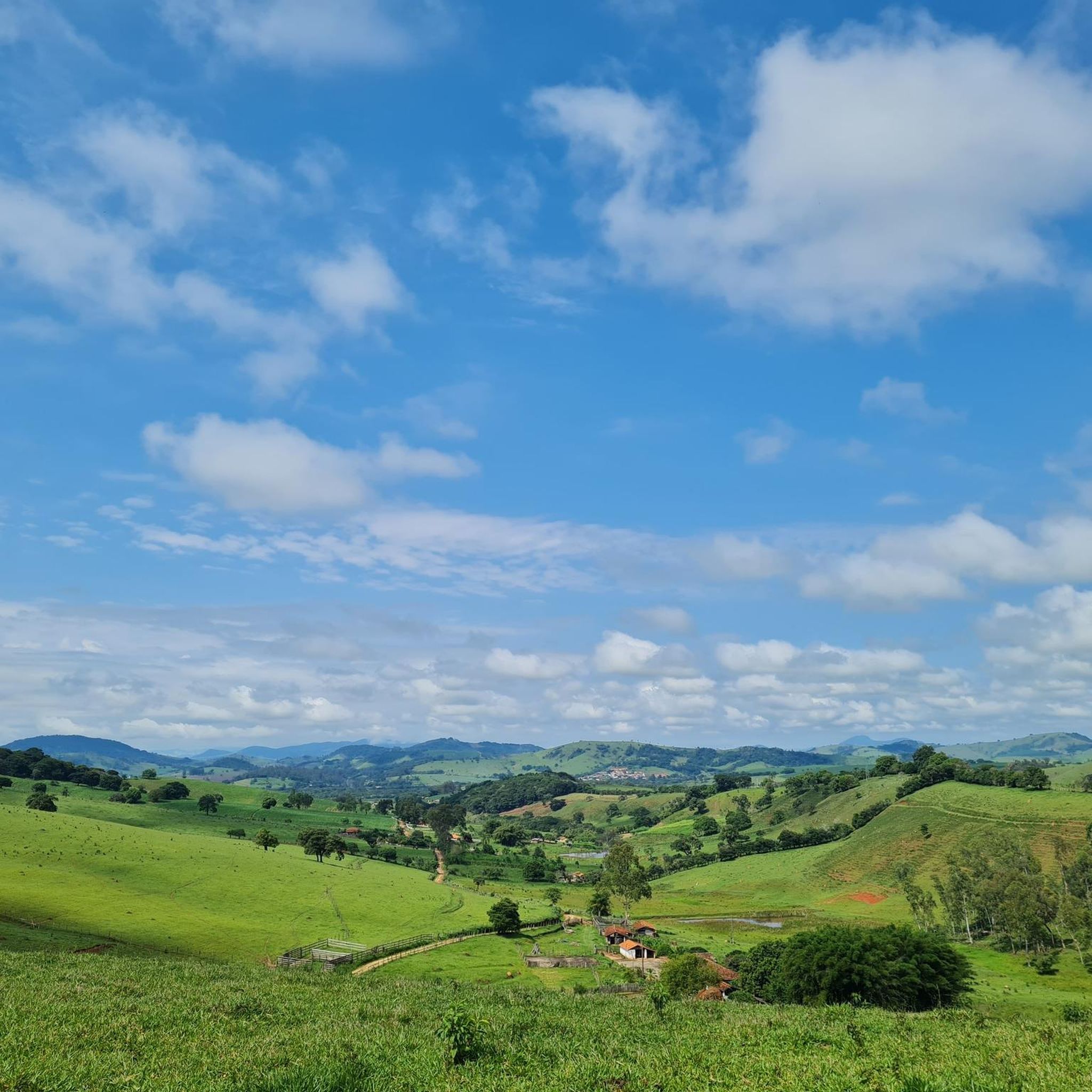
Touring cycling routes in Piranguinho traverse a landscape characterized by picturesque natural features, including rivers and waterfalls, set within the south of Minas Gerais, Brazil. The region's terrain often incorporates historical railway paths, offering relatively continuous routes. These paths, alongside the natural waterways, provide scenic environments for cycling. Piranguinho is part of the "Caminhos do Sul de Minas" tourist circuit, indicating established routes and regional attractions.
Best touring cycling routes in Piranguinho
- The most popular touring cycling route is Túnel…
Last updated: July 8, 2026
5.0
(1)
5
riders
45.2km
03:15
430m
430m
Moderate bike ride. Good fitness required. Mostly paved surfaces. Suitable for all skill levels.
2
riders
63.6km
05:17
830m
830m
Hard bike ride. Very good fitness required. Mostly paved surfaces. Suitable for all skill levels.

Sign up for free
1
riders
25.8km
02:17
440m
440m
Moderate bike ride. Good fitness required. Mostly paved surfaces. Suitable for all skill levels.
Our route recommendations are based on thousands of hikes, rides, and runs completed by other people on komoot.
Start today with a free account
Your next adventure awaits.
Login or Signup
Popular around Piranguinho
Tips from the Community

The route is good, you just have to be in good physical condition to go up the last stretch
0
0
Frequently Asked Questions
How many touring cycling routes are available in Piranguinho?
Piranguinho offers a selection of 3 touring cycling routes, catering to various skill levels. These routes traverse picturesque landscapes, including rivers and historical railway paths.
What are the typical difficulty levels for touring cycling routes in Piranguinho?
The touring cycling routes in Piranguinho range from moderate to difficult. For instance, the Túnel Waterfall loop from Itajubá is considered moderate, while the Passaranho Stream – Riacho Calanguinho loop from Itajubá presents a more challenging experience with significant elevation changes.
What kind of terrain and natural features can I expect on Piranguinho's cycling routes?
Cyclists in Piranguinho can expect diverse terrain, often incorporating historical railway paths that offer relatively continuous routes. The region is known for its exuberant nature, featuring beautiful landscapes, rivers, and waterfalls, providing scenic views and refreshing stops.
Are there any historical landmarks or cultural points of interest along the cycling routes?
Yes, Piranguinho's history is tied to the Sapucaí railway line, and you might encounter remnants like the restored Piranguinho train station or the iron bridge connecting to Itajubá, which was originally a railway bridge. The town is also the 'National Capital of Pé de Moleque', a traditional peanut brittle, offering a unique cultural taste.
Are there any circular touring cycling routes in Piranguinho?
Yes, several routes in Piranguinho are designed as loops, allowing you to start and end in the same location. An example is the Passaranho Stream loop from Itajubá, which offers varied landscapes over its 16.0 miles (25.8 km) distance.
What is the best time of year to go touring cycling in Piranguinho?
While specific seasonal conditions are not detailed, the region's 'exuberant nature' suggests that spring and autumn might offer the most pleasant temperatures for cycling, avoiding the peak heat of summer or potential heavy rains. It's always advisable to check local weather forecasts before your trip.
What do other touring cyclists say about their experience in Piranguinho?
The komoot community highly rates the touring cycling experience in Piranguinho, with an average score of 5.0 stars. Cyclists often praise the region's picturesque natural beauty, including its rivers and waterfalls, and the unique blend of natural and historical elements along the routes.
Is Piranguinho part of a larger cycling or tourist circuit?
Yes, Piranguinho is an integral part of the 'Caminhos do Sul de Minas' (Southern Minas Trails) tourist circuit. This inclusion often means well-documented routes and a focus on regional attractions, enhancing the experience for touring cyclists.
What are the typical elevation gains on touring cycling routes in Piranguinho?
Elevation gains vary depending on the route's difficulty. Moderate routes like the Túnel Waterfall loop can have over 1400 feet (427 meters) of elevation gain, while more difficult routes, such as the Passaranho Stream – Riacho Calanguinho loop, feature significant ascents of over 2700 feet (833 meters).
Are there opportunities to see waterfalls along the cycling routes?
Yes, Piranguinho is celebrated for its 'exuberant nature with beautiful landscapes, rivers and waterfalls.' The Túnel Waterfall loop from Itajubá specifically highlights a waterfall, indicating that these natural features are a key part of the cycling experience in the region.
Are the touring cycling routes in Piranguinho suitable for families?
While specific family-friendly routes are not detailed, the presence of historical railway paths often suggests relatively flatter and more continuous sections that could be suitable for families. However, given that routes range from moderate to difficult with significant elevation changes, it's recommended to review the specific route details and elevation profiles to ensure they match your family's cycling ability.
Most popular routes in Piranguinho

Get inspired with the komoot mobile app


Explore more
Browse the best Cycling routes in other regions.
