The best cycling routes in Bråvikenbranten
4.5
(4)
23
riders
6
rides
Touring cycling in Bråvikenbranten offers routes through a landscape shaped by a dramatic fault scarp, providing panoramic views over Bråviken Bay and the Vikbolandet peninsula. The region features varied terrain, including areas resembling old-growth forests with thick pine trees and lush stream valleys. Coastal access and views of the Baltic Sea and archipelago are also characteristic of the area, providing diverse backdrops for cycling.
Best touring cycling routes in Bråvikenbranten
- The most popular touring cycling route is Östra Husby Church…
Last updated: July 11, 2026
3
riders
29.2km
01:53
140m
140m
Easy bike ride. Great for any fitness level. Mostly paved surfaces. Suitable for all skill levels.
3
riders
33.8km
02:10
140m
140m
Moderate bike ride. Good fitness required. Mostly paved surfaces. Suitable for all skill levels.

Sign up for free
4.0
(2)
12
riders
32.0km
02:08
340m
340m
Moderate bike ride. Good fitness required. Mostly paved surfaces. Suitable for all skill levels.
2
riders
37.2km
02:18
210m
210m
Moderate bike ride. Good fitness required. Mostly paved surfaces. Suitable for all skill levels.
3
riders
Moderate bike ride. Good fitness required. Mostly paved surfaces. Suitable for all skill levels.
Our route recommendations are based on thousands of hikes, rides, and runs completed by other people on komoot.
Start today with a free account
Your next adventure awaits.
Login or Signup
Popular around Bråvikenbranten
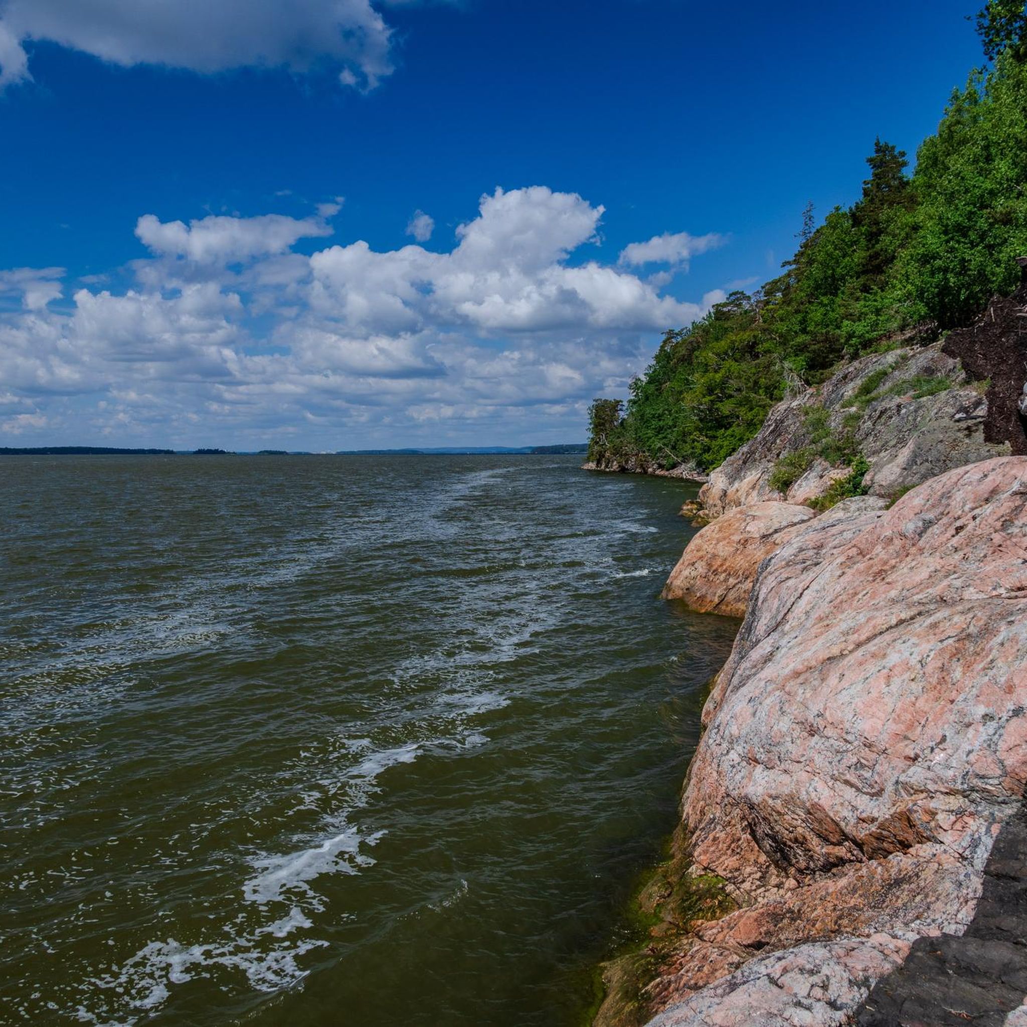
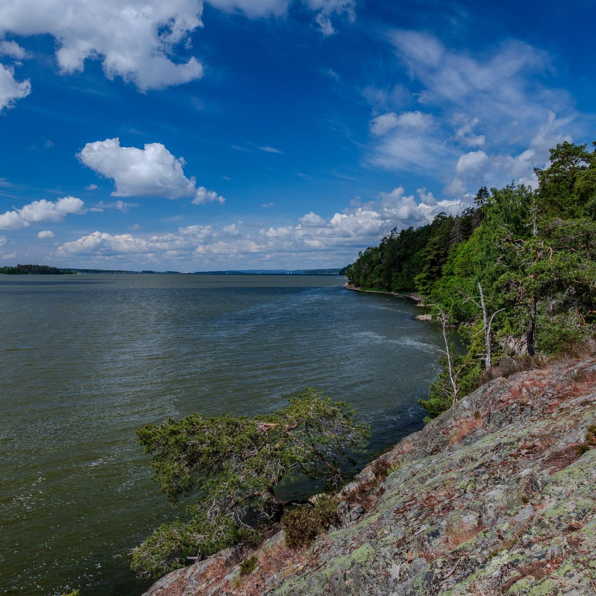
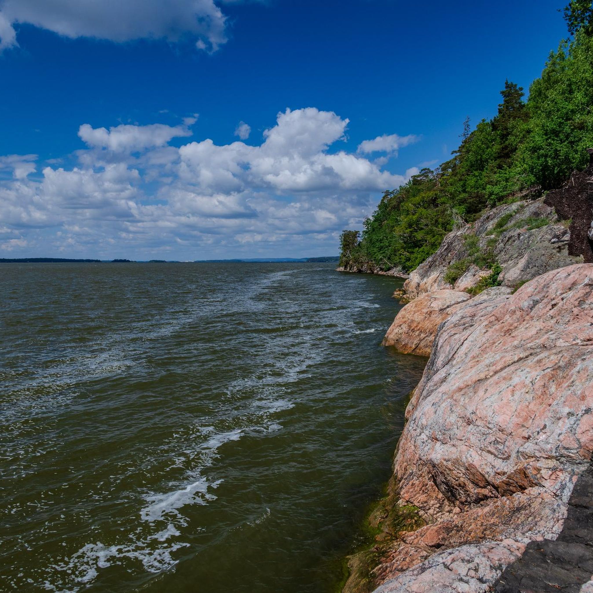
Tips from the Community

Runs every half hour from 05:30 to 22:00
3
0
Nice rooms, shared bathroom, good breakfast
0
0


The well-known hiking trail passes here.
0
0
Rest, relax and enjoy the great view of the harbor.
0
0
At "Trollberget" you can find several trolls.
0
0


From here you can enjoy the great view of the sea. The place is well suited for a break.
9
0
Frequently Asked Questions
How many touring cycling routes are available in Bråvikenbranten?
There are currently 7 touring cycling routes available in Bråvikenbranten on komoot. These routes offer a variety of experiences, from easy rides to more moderate challenges, allowing you to explore the region's unique landscapes.
What is the best time of year to go touring cycling in Bråvikenbranten?
The summer months are generally ideal for touring cycling in Bråvikenbranten. The weather is typically pleasant, and the natural landscape, with its lush stream valleys and rocky meadows, is at its most vibrant. You might even spot butterflies fluttering along the trails.
What kind of terrain can I expect on touring cycling routes in Bråvikenbranten?
Touring cycling in Bråvikenbranten offers diverse terrain. You'll encounter routes shaped by the dramatic fault scarp, providing panoramic views over Bråviken Bay. Expect sections through areas resembling old-growth forests with thick pine trees, as well as coastal paths with views of the Baltic Sea and archipelago.
Are there easy touring cycling routes suitable for beginners in Bråvikenbranten?
Yes, Bråvikenbranten offers easy touring cycling routes suitable for beginners. An example is the Östra Husby Church – Skenäsleden Ferry loop from Kvarsebo kyrka, which is 18.2 miles (29.2 km) long and takes about 1 hour 53 minutes to complete, offering a gentle introduction to the local landscape.
Are there challenging touring cycling routes for experienced riders?
While there are no routes classified as 'difficult' in the current selection, many of the routes are rated as moderate, offering a good challenge for experienced riders. These routes often feature more elevation changes and longer distances, such as the Troll Sculpture at Trollberget – Marmorbruksvägen Trailhead loop from Kolmården, which covers nearly 50 km with significant elevation gain.
Are the touring cycling routes in Bråvikenbranten suitable for families?
The region's varied terrain includes options that can be suitable for families, especially the easier routes. When planning a family outing, consider routes with lower elevation gain and shorter distances, and always check the route details for specific conditions to ensure it matches your family's abilities.
Can I find circular touring cycling routes in the area?
Yes, many of the touring cycling routes in Bråvikenbranten are designed as loops, allowing you to start and end at the same point. For instance, the Camping by the Archipelago loop from Krokeks kyrka is a popular circular route offering views towards the archipelago.
What scenic viewpoints or landmarks can I expect along the touring cycling routes?
The Bråvikenbranten region is known for its stunning natural beauty. You can expect magnificent panoramic views over Bråviken Bay and the Vikbolandet peninsula from the fault scarp. Routes also offer glimpses of the Baltic Sea and archipelago, and you might pass through areas with old-growth forests and lush stream valleys.
Is parking available for touring cyclists in Bråvikenbranten?
While specific parking locations for each route are not detailed here, the region is generally accessible for outdoor activities. Many routes start near villages or churches, where parking might be available. It's advisable to check local maps or specific route descriptions for designated parking areas before your trip.
Is public transport accessible for reaching touring cycling routes?
Bråvikenbranten is situated near Norrköping, which has public transport connections. While direct access to every trailhead via public transport might vary, it's possible to reach the general area by bus or train and then cycle to your starting point. Check local transport schedules for the most up-to-date information.
What do other touring cyclists enjoy most about touring cycling in Bråvikenbranten?
The komoot community highly rates the touring cycling experience in Bråvikenbranten, with an average score of 4.7 stars. Cyclists often praise the region's dramatic fault scarp, the beautiful coastal views, and the diverse forest sections that make each ride unique and scenic.
Are there places to eat or stay near the touring cycling routes?
The Bråvikenbranten area, being a popular outdoor destination, offers various options for refreshments and accommodation, particularly in nearby towns like Norrköping or smaller villages. Some coastal locations, like Skyttholmens brygga, even provide shelters with fire pits for resting. It's recommended to plan your stops in advance, especially during off-peak seasons.

Get inspired with the komoot mobile app


Explore more
Browse the best Cycling routes in other regions.
