The best walks and hikes in Jarabacoa
4.6
(15)
72
hikers
5
hikes
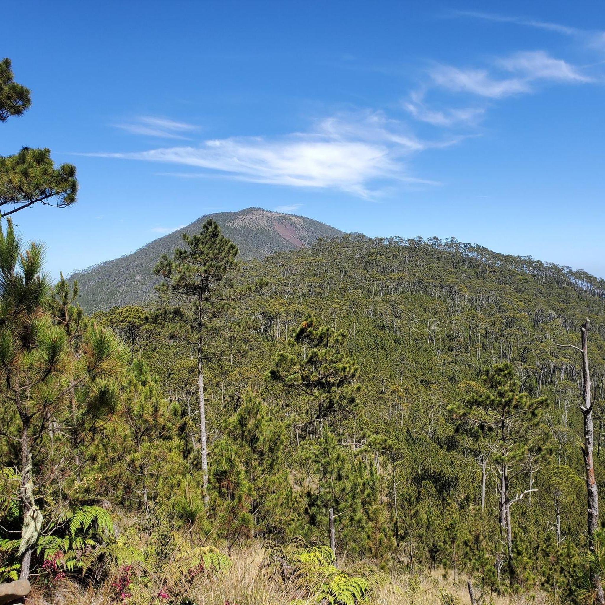
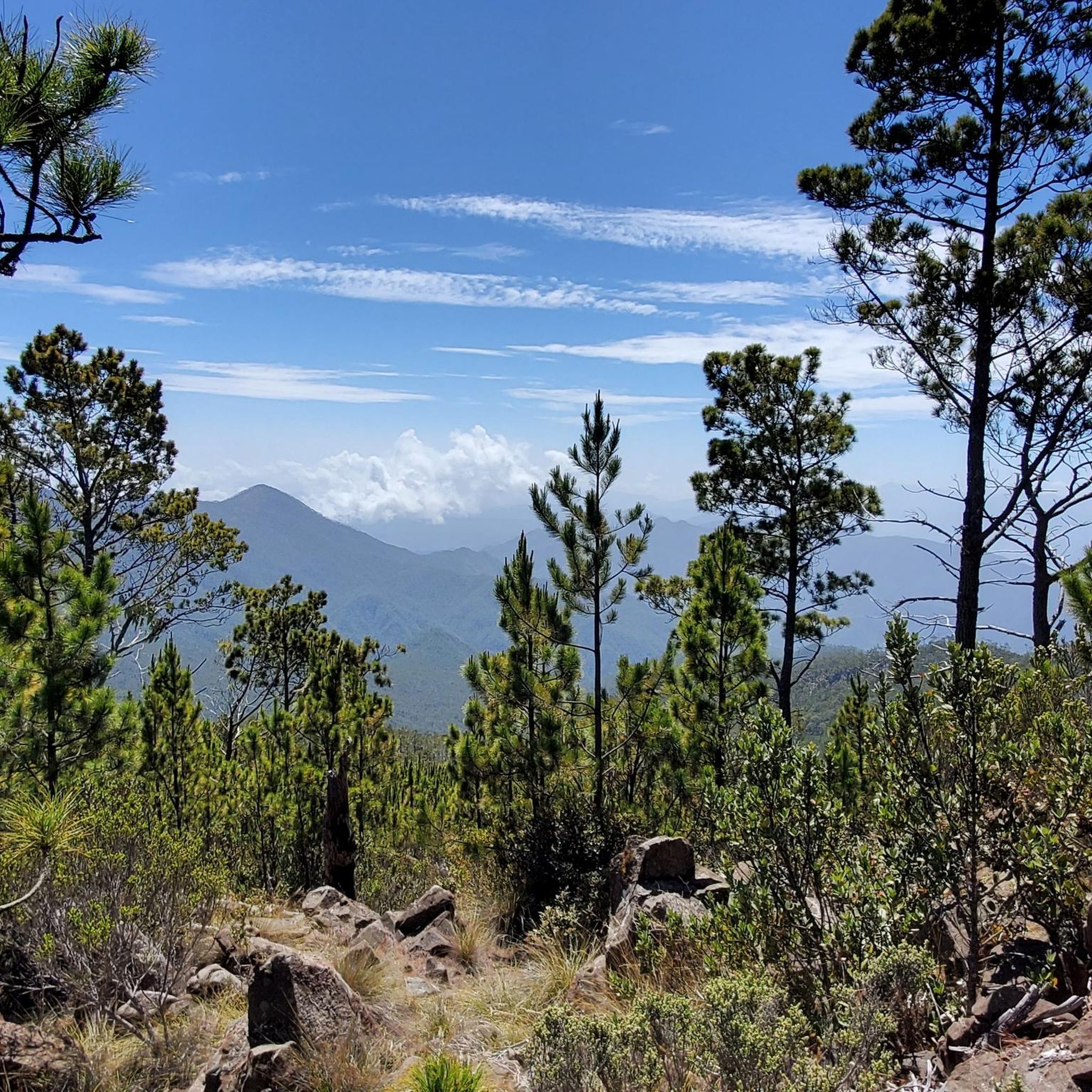
Hiking in Jarabacoa, located in the Dominican Republic's Central Mountain Range, offers diverse terrain within the "Dominican Alps." The region is characterized by rugged mountains, lush forests, and numerous rivers and waterfalls, including the Yaque del Norte River. Elevations range from river valleys to the foothills of Pico Duarte, the Caribbean's highest peak.
Best hiking trails in Jarabacoa
- The most popular hiking route is El Mogote loop from Monasterio Cisterciense, a 4.0 miles (6.5 km) trail that takes 4 hours 12 minutes to complete. This moderate route offers panoramic views of Jarabacoa and its surrounding valleys.
- Another top favourite among local hikers is Salto Baiguate loop from Parqueo Salto de Biaguate, an easy 0.7 miles (1.2 km) path. This trail leads to the Baiguate Waterfall, known for its turquoise waters.
- Local hikers also love the Salto Baiguate – Salto Jimenoa I loop from Jarabacoa, a 13.1 miles (21.1 km) trail leading through river valleys and past waterfalls, often completed in about 6 hours 11 minutes.
- Hiking in Jarabacoa is defined by mountain landscapes, river paths, and lush forests, with options available for various ability levels.
- The routes in Jarabacoa are highly rated by the komoot community with an average score of 4.5 stars from over 10 reviews. More than 60 hikers have used komoot to explore Jarabacoa's varied terrain.
Last updated: July 15, 2026
4.4
(13)
52
hikers
6.45km
04:13
810m
810m
Moderate hike. Good fitness required. Mostly accessible paths. Sure-footedness required.
5
hikers
1.21km
00:21
30m
30m
Easy hike. Great for any fitness level. Easily-accessible paths. Suitable for all skill levels.

Sign up for free
5.0
(1)
8
hikers
21.1km
06:11
540m
540m
Hard hike. Very good fitness required. Easily-accessible paths. Suitable for all skill levels.
4.0
(2)
9
hikers
18.2km
07:20
980m
980m
Hard hike. Very good fitness required. Mostly accessible paths. Sure-footedness required.
5.0
(1)
2
hikers
1.16km
00:29
100m
100m
Easy hike. Great for any fitness level. Easily-accessible paths. Suitable for all skill levels.
Our route recommendations are based on thousands of hikes, rides, and runs completed by other people on komoot.
Start today with a free account
Your next adventure awaits.
Login or Signup
Popular around Jarabacoa

Tips from the Community


Beautiful waterfall, many people take their bathing suits with them. But it only makes sense to shower at the waterfall. The river is only about 5cm deep.
0
0

Crossroad where you can hike downhill to valle des tetero. Also has some benches to take a breath on the hike uphill
0
0
Here you can fill up with water
1
0

Don't Drink all the water on the way up.. many Km down hills. Trekking Poles recommended. I ran out of battery on watch, that is the reason of 1hrs. But it's actually 2.5 to 3hrs walking with very limited stops. Take energy bars, fuel gels, and other snacks. Also it's a National Forest Guard on top. It's good to take an extra food for him. 15 days shifts
3
0

Small waterfall that invites you to swim and linger.
1
0
Frequently Asked Questions
What types of hiking trails can I find in Jarabacoa?
Jarabacoa offers a variety of hiking trails, ranging from easy walks to challenging multi-day treks. You'll find paths through lush forests, along river valleys, and up rugged mountains, including routes to stunning waterfalls and panoramic viewpoints. The region is known for its diverse landscapes within the 'Dominican Alps'.
Are there any easy hiking trails suitable for beginners or families in Jarabacoa?
Yes, Jarabacoa has several easy trails perfect for beginners or families. For instance, the Salto Baiguate loop from Parqueo Salto de Biaguate is an easy 0.7-mile (1.2 km) path leading to the beautiful Baiguate Waterfall. Another accessible option is the Salto Jimenoa I loop from Salto de Jimenoa I, a short 0.7-mile (1.1 km) trail to the impressive Jimenoa Waterfall.
Can I find trails that feature waterfalls in Jarabacoa?
Absolutely! Jarabacoa is known as the 'land of water sources,' and many trails lead to spectacular waterfalls. You can visit the refreshing Baiguate Waterfall via the Salto Baiguate loop, or explore the impressive Salto de Jimenoa I, which can be reached via the Salto Jimenoa I loop. For a longer adventure combining both, consider the Salto Baiguate – Salto Jimenoa I loop from Jarabacoa.
What kind of views can I expect on Jarabacoa's hiking trails?
Jarabacoa's trails offer breathtaking panoramic views of the surrounding 'Dominican Alps,' lush valleys, and the winding Yaque del Norte River. Hikes like the El Mogote loop from Monasterio Cisterciense provide stunning vistas of Jarabacoa and its diverse landscapes. Higher elevation trails, especially those leading towards Pico Duarte, offer expansive views over pine forests and cloud-shrouded peaks.
Are there any circular hiking routes in Jarabacoa?
Yes, several popular routes in Jarabacoa are circular, allowing you to start and end at the same point. Examples include the El Mogote loop from Monasterio Cisterciense, the Salto Baiguate loop from Parqueo Salto de Biaguate, and the longer Salto Baiguate – Salto Jimenoa I loop from Jarabacoa.
What is the best time of year to go hiking in Jarabacoa?
Jarabacoa is known as the 'City of Eternal Spring' due to its consistently mild climate year-round, making it an excellent hiking destination at almost any time. The temperatures are generally pleasant, offering a refreshing escape from the Caribbean heat. However, the wet season (typically May to November) can bring more rain, which might make some trails muddy, while the dry season (December to April) usually offers clearer skies and more comfortable conditions.
What are some notable natural features or landmarks to look out for while hiking in Jarabacoa?
While hiking in Jarabacoa, you'll encounter diverse natural features. The region is characterized by the rugged Cordillera Central mountains, the longest river in the Caribbean, the Yaque del Norte, and numerous waterfalls like Salto de Jimenoa I and Baiguate. You might also spot lush pine and eucalyptus forests, and if you venture towards Valle del Tetero, you could see wild horses and ancient Taíno petroglyphs.
Are dogs allowed on hiking trails in Jarabacoa?
While specific regulations for dogs on all trails can vary, it's generally advisable to check with local guides or park authorities for the most current information. Some areas, especially protected reserves like Ébano Verde, may have restrictions to protect wildlife. Always ensure your dog is on a leash and that you clean up after them.
What is the typical elevation gain on Jarabacoa's hiking trails?
Elevation gain varies significantly depending on the trail's difficulty. Easy trails like the Salto Baiguate loop have minimal gain (around 32 meters). Moderate routes, such as the El Mogote loop, involve substantial climbs, with an elevation gain of over 800 meters. More difficult trails, like the La Laguna Rest Area – The Tetero Crossroad loop, can feature nearly 1,000 meters of ascent, offering challenging climbs through mountainous terrain.
What do other hikers enjoy most about hiking in Jarabacoa?
The area is highly rated by the komoot community, with an average score of 4.5 stars from over 10 reviews. Reviewers often praise the stunning natural beauty, the refreshing waterfalls, and the diverse terrain that offers options for various skill levels. Many appreciate the opportunity to explore the 'Dominican Alps' and experience the region's unique blend of mountains, rivers, and lush forests.
Do I need a permit to hike in Jarabacoa?
For most general hiking trails in Jarabacoa, a specific permit is not typically required. However, if you plan to undertake more challenging expeditions, such as the multi-day trek to Pico Duarte, or visit certain protected areas like the Ébano Verde Scientific Reserve, you may need to arrange for guides or obtain specific permissions. It's always best to inquire locally or with tour operators for the most up-to-date requirements for your chosen route.
Are there options for public transport to reach hiking trailheads in Jarabacoa?
While Jarabacoa itself is accessible by public transport (e.g., Caribe Tours buses from major cities), reaching specific trailheads often requires local transportation. 'Motoconchos' (motorcycle taxis) or local 'conchos' (shared taxis) are common for shorter distances. For more remote trailheads or organized treks, arranging private transport or joining a guided tour is often the most convenient option.
Most popular routes in Jarabacoa

Get inspired with the komoot mobile app


