The best running trails in Panguipulli
5.0
(1)
42
runners
6
runs
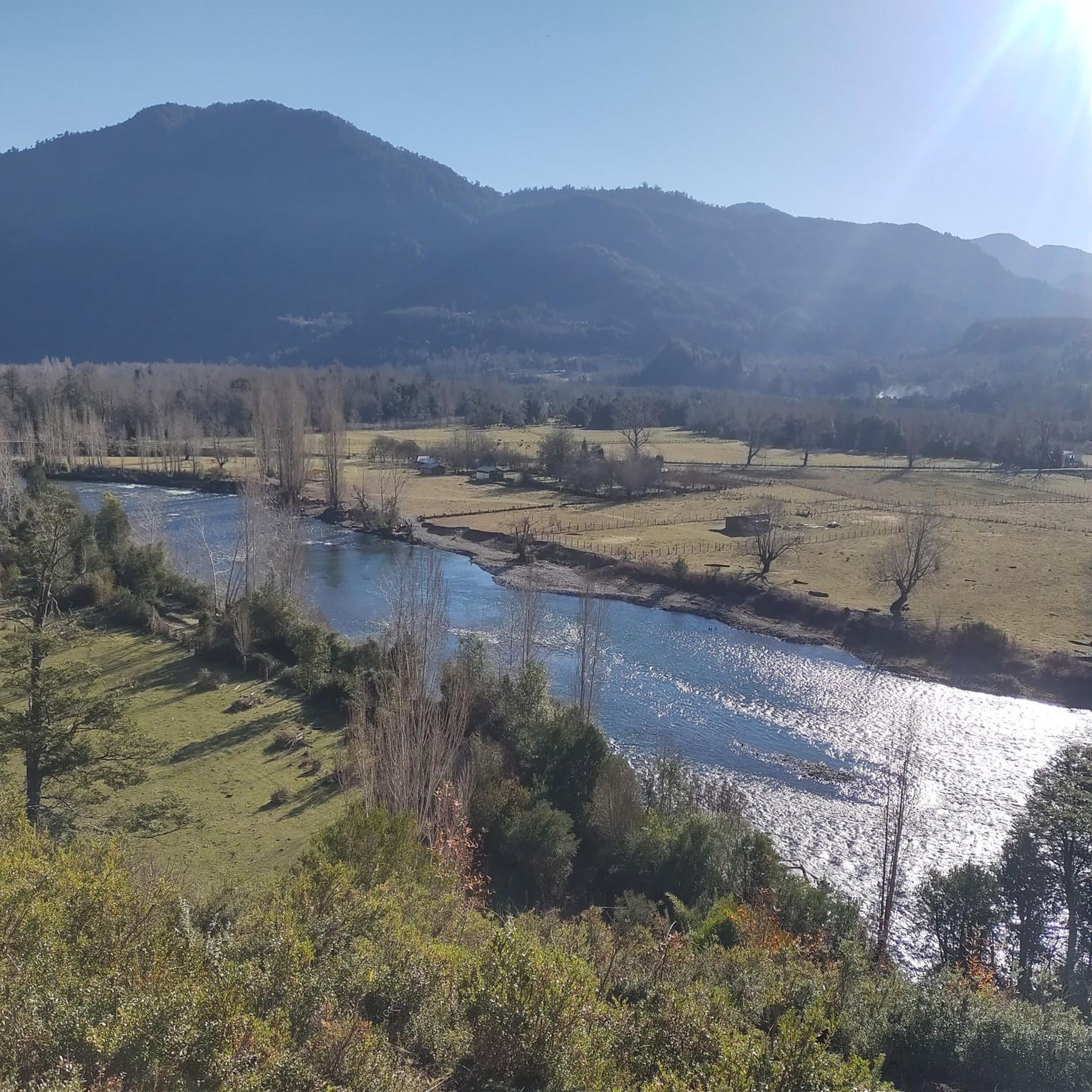
Jogging routes in Panguipulli are set amidst Chile's Los Ríos Region, characterized by a system of seven lakes, including Lake Panguipulli itself. The terrain features dramatic volcanic scenery, with views of Villarrica and Mocho-Choshuenco volcanoes. Dense Valdivian temperate rainforests, with ancient native trees, provide verdant trails, while numerous rivers and waterfalls add to the natural landscape.
Best jogging routes in Panguipulli
- The most popular jogging route is View of Villarrica Volcano – Mirador Los Cráteres loop from Guardaparque, a…
Last updated: July 9, 2026
13
runners
21.2km
03:03
980m
980m
Hard run. Very good fitness required. Mostly paved surfaces. Suitable for all skill levels.
9
runners
34.4km
04:51
1,250m
1,250m
Hard run. Very good fitness required. Mostly paved surfaces. Suitable for all skill levels.

Sign up for free
8
runners
30.4km
04:15
1,190m
1,190m
Hard run. Very good fitness required. Mostly paved surfaces. Suitable for all skill levels.
5
runners
10.1km
01:23
360m
360m
Hard run. Very good fitness required. Mostly paved surfaces. Suitable for all skill levels.
5.0
(1)
4
runners
10.6km
01:30
510m
510m
Hard run. Very good fitness required. Mostly paved surfaces. Suitable for all skill levels.
Our route recommendations are based on thousands of hikes, rides, and runs completed by other people on komoot.
Start today with a free account
Your next adventure awaits.
Login or Signup
Other adventures in Panguipulli

Tips from the Community

The Los Cráteres viewpoint offers a direct view of a row of parasitic craters, between 5 and 10 meters in diameter, where lava flowed in both directions, leaving folds and hollows that are now interspersed with invasive vegetation. Some craters are heavily eroded, while others retain clear shapes, creating a striking geological landscape. It is essential to obtain tickets from pasesparques.cl before arriving, as the area is not always well-connected.
1
0
The Fillkungüe Lookout features a wooden platform offering panoramic views of the Zanjón Seco and Correntoso Valleys, as well as Lakes Caburgua and Huilipilún. From here, you can also see the Llaima Volcano and the Sollipulli snow-capped peaks, creating a sweeping and highly photogenic landscape. It's the perfect spot for a relaxing break; bring a light jacket as it can be a bit windy.
0
0
The view of the Villarrica volcano allows you to appreciate its perfectly symmetrical cone and, on clear days, the contrast between the snow-capped summit and the surrounding forests. It's a very photogenic spot and easy to spot along the route. It's advisable to bring sun protection and a light jacket, as the weather can change quickly in this area.
0
0
Camino al Volcán is a wide, unpaved road that leads from the entrance of Villarrica National Park to the volcano of the same name. It offers constant views of its perfect snow-capped cone on the horizon.
0
0
The Villarrica volcano is one of the most iconic and active in South America. With its perfect cone reaching 2,847 meters, it rises between Lakes Villarrica and Calafquén, forming part of Villarrica National Park. At its summit lies a permanent lava lake, visible as an intense plume of smoke. It is a classic destination for hiking and mountain enthusiasts.
1
0

from the park entrance there are several hiking tours. from 30 minutes all the way to hikes to the top of the Volcano.
1
0

a wonderful ferry ride across Lake Pirehueico. You can easily push your bike onto the ferry and then remain spellbound, leaning against the railing to enjoy the dense forests on the mountain slopes of the Andes.
0
0

From Neltume, do not hesitate to make a detour to come and admire this magnificent waterfall.
0
0
Frequently Asked Questions
What kind of terrain can I expect on running trails in Panguipulli?
Panguipulli's running trails offer a diverse range of terrain. You'll find paths through dense Valdivian temperate rainforests with ancient native trees, along the shores of pristine lakes like Lake Panguipulli, and across dramatic volcanic landscapes with views of volcanoes such as Villarrica and Mocho-Choshuenco. Many routes are challenging, featuring significant elevation changes.
Are there any easy jogging routes suitable for beginners in Panguipulli?
While many of the routes in Panguipulli are considered challenging, there are options for different ability levels. For instance, the area around the lakes, particularly Lake Panguipulli, offers flatter and more scenic sections that can be suitable for easier jogs. However, most recorded routes on komoot are rated as difficult.
What natural features can I see while running in Panguipulli?
Jogging in Panguipulli allows you to experience stunning natural features. You'll encounter the expansive Seven Lakes system, including Lake Panguipulli itself, and enjoy views of majestic volcanoes like Villarrica. The region is also home to lush Valdivian temperate rainforests and features various rivers and beautiful waterfalls, such as the Huilo-Huilo Waterfall.
Are there any circular running routes available in Panguipulli?
Yes, several circular running routes are available. For example, you can explore the View of Villarrica Volcano – Mirador Los Cráteres loop from Guardaparque, which is a challenging 13.2-mile (21.2 km) trail. Another option is the Puerto Fuy – Huilo-Huilo Waterfall loop from Puerto Fuy, a difficult 21.4-mile (34.4 km) path that takes you through varied terrain.
What do other runners say about the trails in Panguipulli?
The running routes in Panguipulli are highly rated by the komoot community, with an average score of 5.0 stars. Runners often praise the pristine lakes, dramatic volcanic peaks, and lush temperate rainforests that define the area's unique outdoor experience.
Are there any specific landmarks or points of interest along the running trails?
Yes, Panguipulli's running trails often pass by or offer views of significant landmarks. You can see the impressive Villarrica Crater and the beautiful Huilo-Huilo Waterfall. Other notable spots include the settlements of Puerto Fuy and Coñaripe, and viewpoints like Pullinque Lagoon Viewpoint.
How many running routes are available in Panguipulli on komoot?
There are currently 6 running routes available in Panguipulli on komoot. These routes cater to various preferences, though most are categorized as difficult due to the region's mountainous and volcanic terrain.
What is the best time of year for running in Panguipulli?
Panguipulli offers an invigorating environment for outdoor enthusiasts. The region's temperate climate means running is possible year-round, but the warmer months (typically spring and summer in the Southern Hemisphere, from October to March) generally provide the most pleasant conditions for exploring the lakes, forests, and volcanic landscapes.
Can I find running routes near the lakes in Panguipulli?
Absolutely. Panguipulli is central to the 'Seven Lakes' system, and many running opportunities are found along the shores of these beautiful bodies of water. Lake Panguipulli itself is a prominent feature, offering picturesque backdrops and serene paths for running. You can also find highlights like Laguna Azul and Mirador Ñisoleufu (Viewpoint Over Lake Calafquén).
Are there any running trails that offer views of the Villarrica Volcano?
Yes, the region is known for its impressive volcanic scenery. A popular route offering panoramic views of the Villarrica Volcano and its craters is the View of Villarrica Volcano – Mirador Los Cráteres loop from Centro Ski Pucón, which is a challenging 18.9-mile (30.4 km) trail.
What is the typical difficulty level of running trails in Panguipulli?
The majority of running trails in Panguipulli are rated as difficult. Out of the 6 routes available on komoot, 5 are classified as difficult, and 1 is moderate. This indicates that many routes feature significant elevation changes and varied terrain, making them suitable for experienced runners or those seeking a challenge.
Are there any specific parks or reserves where I can go running in Panguipulli?
Yes, Panguipulli is surrounded by natural reserves that offer extensive trail networks. The Panguipulli National Reserve, Huilo-Huilo Biological Reserve, and Villarrica National Park all provide numerous trails suitable for running, allowing you to immerse yourself in the region's lush Valdivian temperate rainforests and volcanic landscapes.
Most popular routes in Panguipulli
Most popular attractions in Panguipulli

Get inspired with the komoot mobile app


