The best mountain hikes around Finnentrop
4.5
(3)
8
hikers
3
hikes
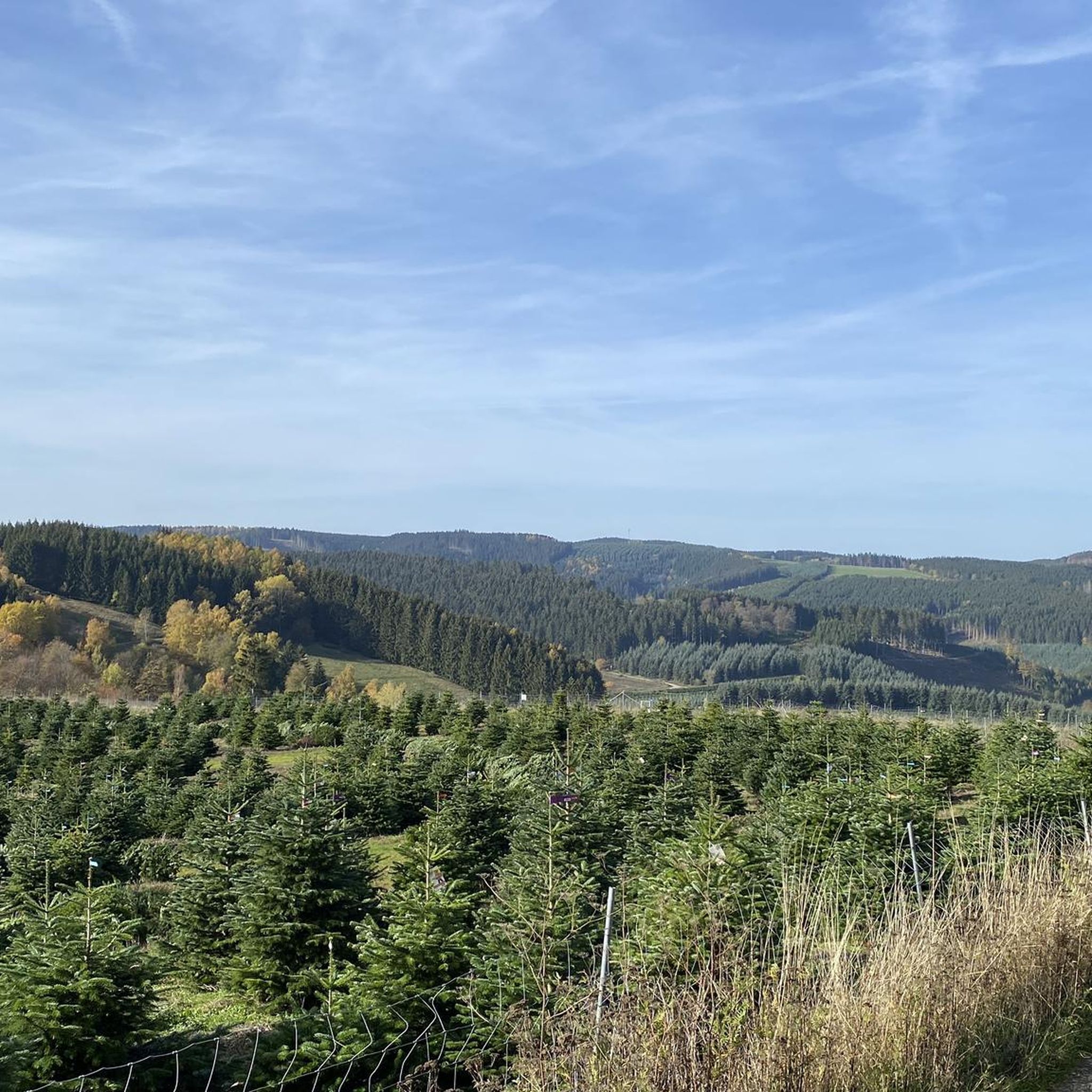
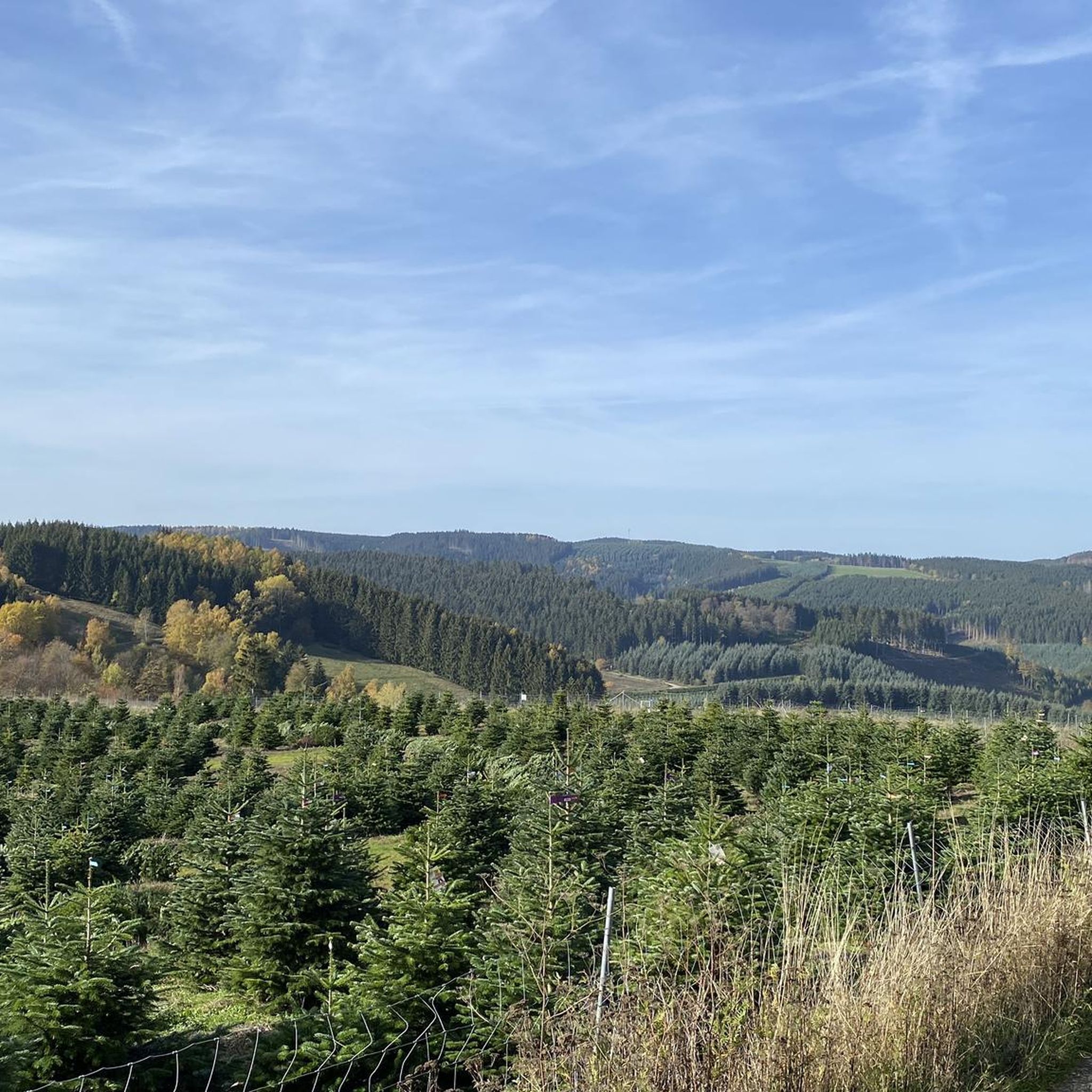
Mountaineering around Finnentrop features a landscape characterized by forested hills, river valleys, and scenic viewpoints within the Sauerland region. The terrain offers a mix of gentle ascents and descents, typical of a low mountain range. These routes often traverse mixed forests and open areas, providing varied natural surroundings. The region's elevation changes are moderate, making it accessible for different skill levels.
Best mountaineering routes around Finnentrop
- The most popular mountaineering route is Left Source of the Waldbach – Sauerland-Höhenflug Trail…
Last updated: August 15, 2026
4.0
(2)
5
hikers
Moderate mountaineering route. Good fitness required. Easily-accessible paths. Suitable for all skill levels.
2
hikers
5.14km
01:27
110m
110m
Easy mountaineering route. Great for any fitness level. Easily-accessible paths. Suitable for all skill levels.

Sign up for free
5.0
(1)
1
hikers
Moderate mountaineering route. Good fitness required. Easily-accessible paths. Suitable for all skill levels.
Our route recommendations are based on thousands of hikes, rides, and runs completed by other people on komoot.
Start today with a free account
Your next adventure awaits.
Login or Signup
Popular around Finnentrop
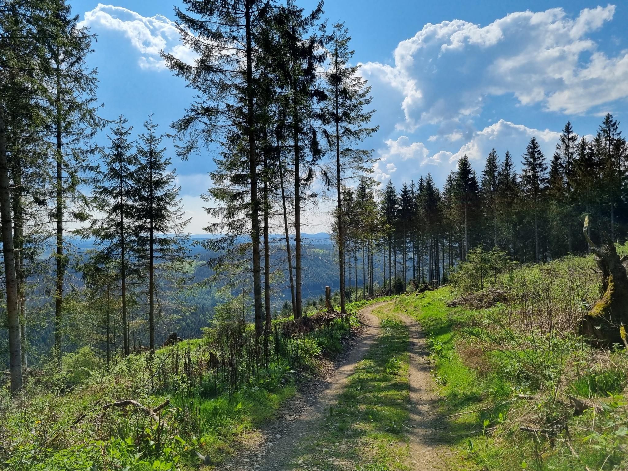
Ehmsenweg – Hiking through Western Sauerland
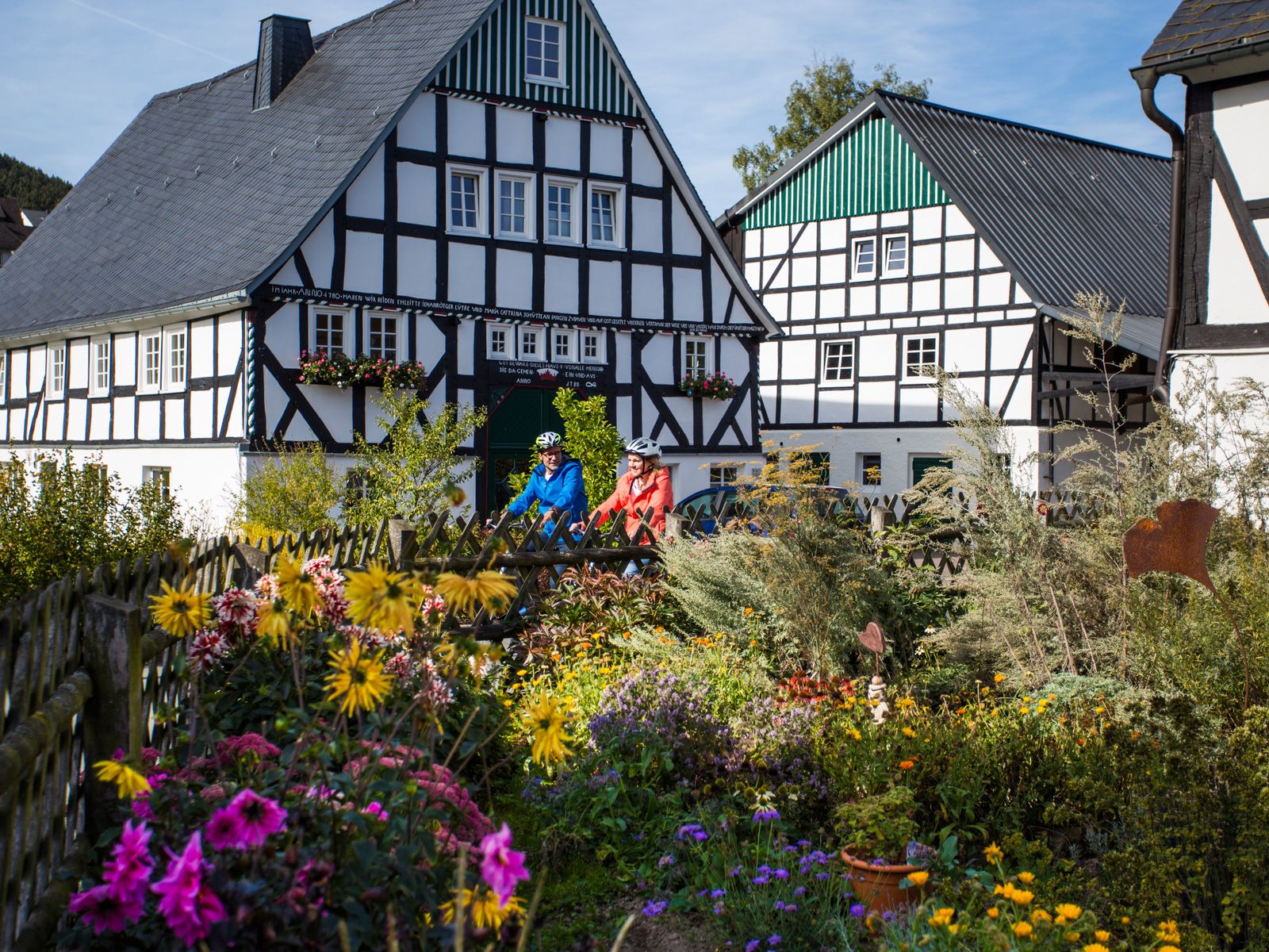
Between half-timbered houses and the past – historic cycling tours
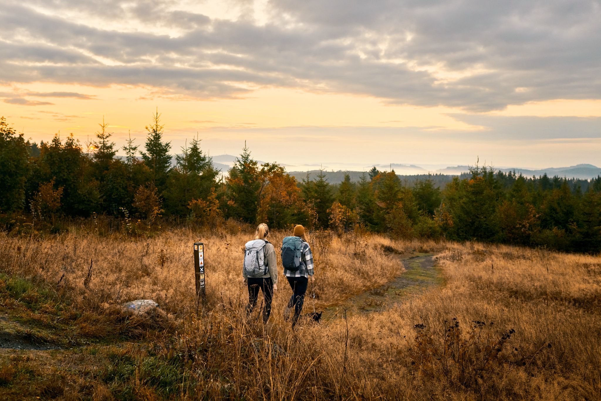
Feels like flying – hiking on the Sauerland–Höhenflug
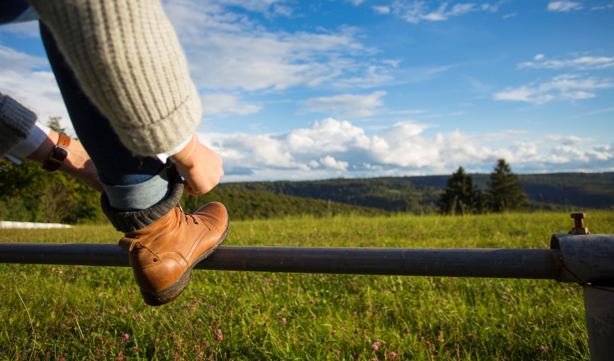
Exploring Schmallenberg Sauerland — stunning hikes in Germany
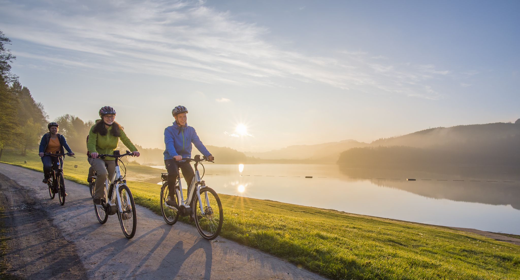
Forests, railroad tracks and diverse wildlife – Cycling in Sauerland
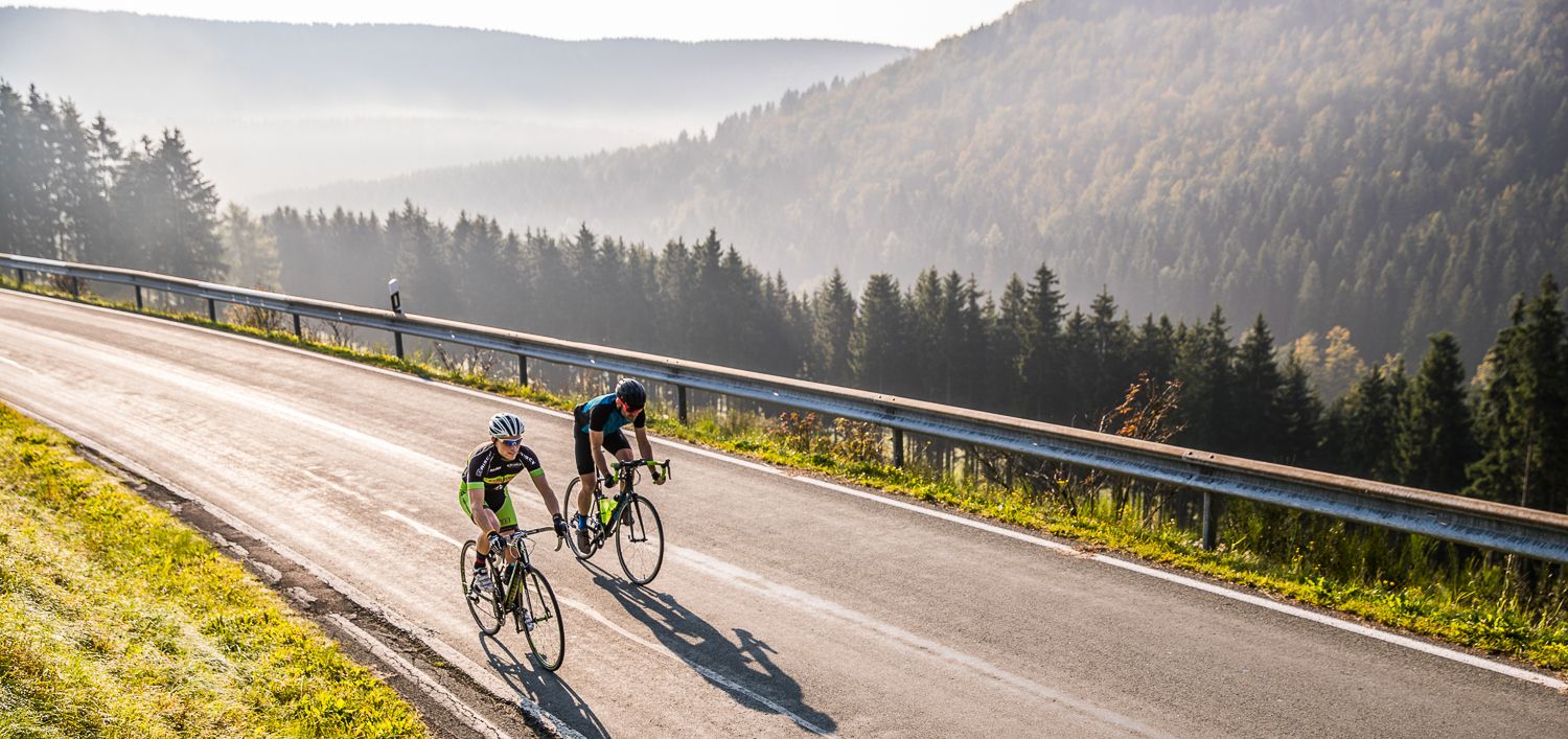
Through the Land of 1,000 Mountains – road cycling in Sauerland
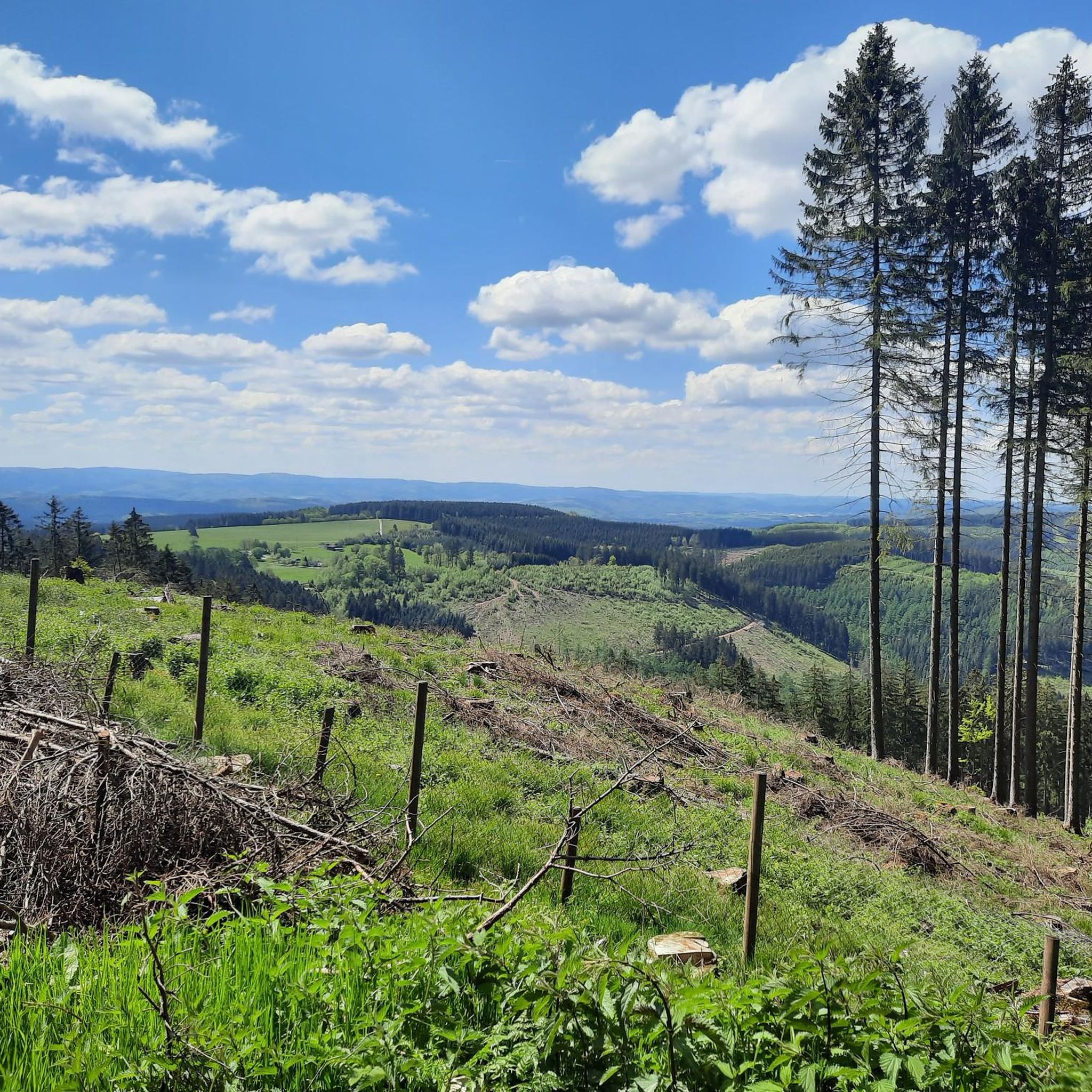
Cycling around Finnentrop
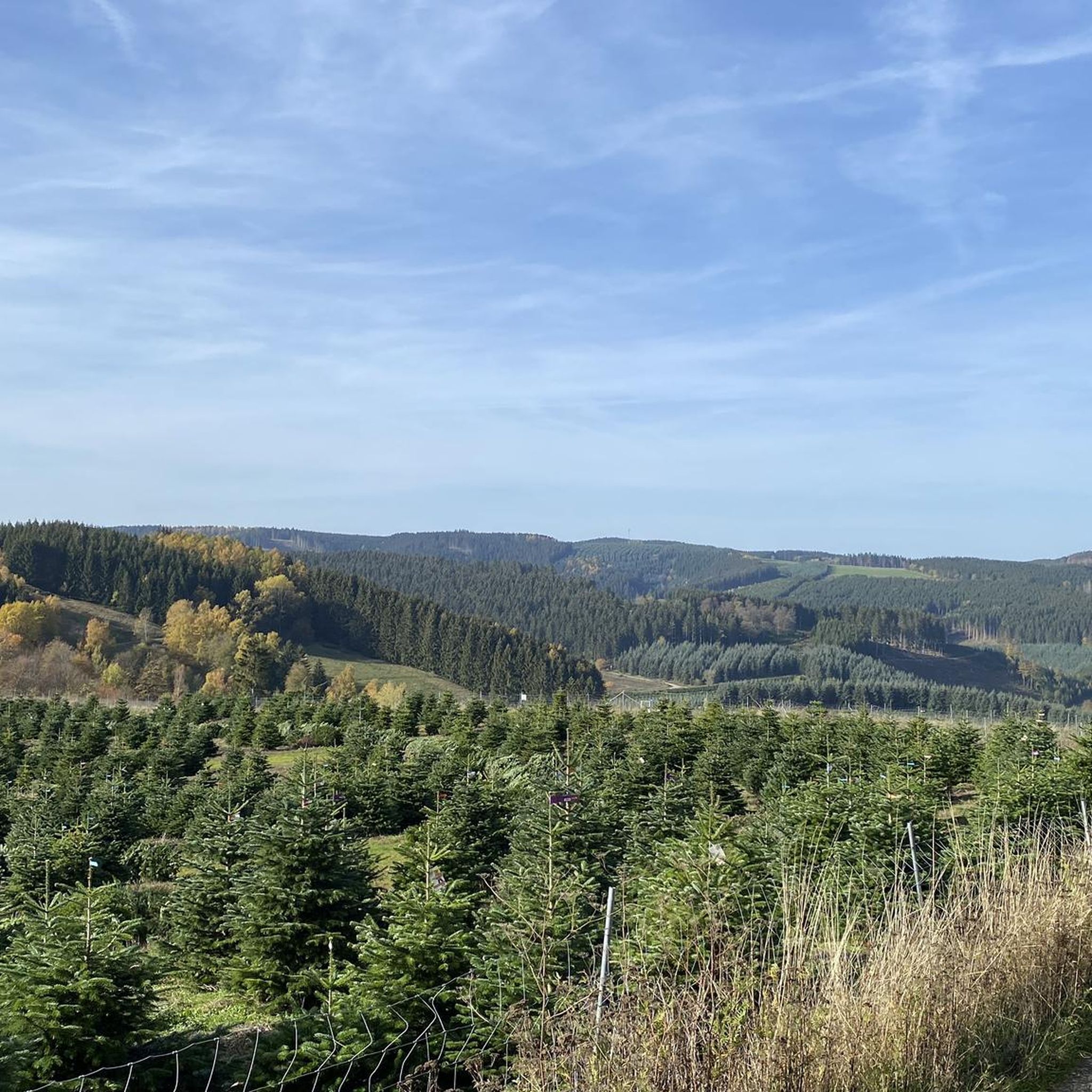
Hiking around Finnentrop
MTB Trails around Finnentrop
Road Cycling Routes around Finnentrop
Other adventures around Finnentrop


Tips from the Community

great view, has something of a vacation
0
0

It's worth a visit. 😉
0
0
Beautiful photo opportunity 😊
0
0

A nice idea
0
0

It was actually closed but I got coffee, great
0
0

Super beautiful view over the mountains and valleys of the Sauerland.
0
0

From the Hohe Bracht observation tower, you have a fantastic panoramic view over large parts of the Sauerland region, across to the Ebbegebirge and the Rothaargebirge mountains. After enjoying the view, you can take a break in the café. Hohe Bracht is located in the Sauerland-Rothaargebirge Nature Park – at 4,215 square kilometers, the largest nature park in Germany. The nature park combines nature reserves with cultural and industrial monuments and offers a variety of excursion destinations. You can legally pitch your tent at several secluded natural campsites for an even more intense experience of nature. If you would like to learn more about the nature park, several information centers are available. You can find out more here: https://nationale-naturlandschaften.de/gebiete/naturpark-sauerland-rothaargebirge.
1
0

Hotel and restaurant. Busy on weekends
1
0
Frequently Asked Questions
Are there easy mountaineering routes suitable for beginners or families in Finnentrop?
Yes, Finnentrop offers routes suitable for various skill levels, including easy options perfect for beginners or families. For instance, the View of the Wildewiese – View of Wildewiese loop from Müggenohl is an easy 3.2-mile (5.1 km) path that provides panoramic views without significant challenges.
What kind of terrain can I expect on mountaineering routes around Finnentrop?
The mountaineering routes around Finnentrop are characterized by forested hills, river valleys, and scenic viewpoints within the Sauerland region. You'll traverse a mix of mixed forests and open areas, with moderate elevation changes typical of a low mountain range, making the terrain accessible for different skill levels.
Are the mountaineering routes in Finnentrop typically circular?
Many of the mountaineering routes in Finnentrop are designed as circular paths, allowing you to start and end at the same point. Examples include the Left Source of the Waldbach – Sauerland-Höhenflug Trail loop from Müggenohl and the Mixed Forest Hohe Bracht – View of Lennestadt-Altenhundem loop from Bilstein.
How long do mountaineering tours in Finnentrop usually take?
The duration of mountaineering tours in Finnentrop varies depending on the route's length and difficulty. For example, the easy View of the Wildewiese – View of Wildewiese loop from Müggenohl takes approximately 1 hour 27 minutes, while moderate routes like the Left Source of the Waldbach – Sauerland-Höhenflug Trail loop from Müggenohl can take around 3 hours.
What do other mountaineers enjoy most about the routes in Finnentrop?
The mountaineering routes in Finnentrop are highly rated by the komoot community, with an average score of 4.5 stars. Reviewers often praise the varied terrain, the scenic viewpoints, and the well-maintained paths that make exploring the forested hills and river valleys a rewarding experience.
Are there any specific viewpoints or attractions along the mountaineering routes?
Yes, several routes offer notable viewpoints and attractions. For instance, the View of the Wildewiese – View of Wildewiese loop from Müggenohl provides panoramic views from the View of the Wildewiese area. Other routes might lead you past shelters or rest areas like the Spinne Rest Area or the Benolpe Cross and Shelter.
Are there places to stop for refreshments or rest along the trails?
Yes, within the Finnentrop area, you can find various huts and rest areas that offer opportunities for a break or refreshments. Highlights include Steinberg's Alpine Hut, the Spinne Rest Area, and several shelters like the Vierkreuze Shelter.
What is the best time of year for mountaineering in Finnentrop?
Finnentrop's forested landscape is enjoyable throughout much of the year. Spring and autumn offer vibrant colors and pleasant temperatures, while summer provides longer daylight hours. Even in winter, with appropriate gear, the trails can be beautiful, though conditions may vary.
Are there any routes that follow well-known long-distance trails?
Yes, some routes incorporate sections of established long-distance trails. For example, the Left Source of the Waldbach – Sauerland-Höhenflug Trail loop from Müggenohl follows a section of the well-known Sauerland-Höhenflug Trail, offering a taste of this popular regional path.
How many mountaineering routes are available in Finnentrop?
There are several dedicated mountaineering routes around Finnentrop, offering diverse experiences for hikers. Currently, komoot features at least three distinct routes, ranging from easy to moderate difficulty.
What should I wear for mountaineering in Finnentrop?
Given the varied terrain and potential for changing weather in the Sauerland region, it's advisable to wear sturdy hiking boots, layered clothing, and waterproof outerwear. Even on shorter routes, carrying water and a small snack is recommended.
Most popular routes around Finnentrop
Most popular attractions around Finnentrop

Get inspired with the komoot mobile app


Explore more
Browse the best Mountain Hikes & Routes in other regions.
