The best mountain hikes around Wuppertal
5.0
(3)
15
hikers
11
hikes
Mountaineering routes around Wuppertal traverse the varied terrain of the Bergisches Land, characterized by its rolling hills, dense woodlands, and river valleys. The region features numerous streams and reservoirs, contributing to a landscape rich in natural beauty. Elevations are generally moderate, with routes often following contours through forests and open fields.
Best mountaineering routes around Wuppertal
- The most popular mountaineering route is Rheinbachteiche – Hahnerberg loop from Gelpe-Saalbach, a 14.8 miles (23.8 km) trail that takes 7 hours 2 minutes to complete. This difficult route features significant elevation gain through forested areas.
- Another top favourite among local mountaineers is Gruiten Dorf – Düssel River in the Neander Valley loop from Vohwinkel, a moderate 7.3 miles (11.7 km) path. This route follows the Düssel River through the scenic Neander Valley.
- Local mountaineers also love the Felderbach Valley Nature Reserve – View of Felderbachtal loop from Felderbachtal, a 5.2 miles (8.4 km) trail leading through the Felderbach Valley Nature Reserve, often completed in about 2 hours 20 minutes.
- Mountaineering around Wuppertal is defined by its forested hills, river valleys, and numerous reservoirs. The network offers options for different ability levels, from moderate paths to more challenging climbing trails Wuppertal.
- The routes in Wuppertal are highly rated by the komoot community with an average score of 5.0 stars from a few reviews. More than 10 mountaineers have used komoot to explore Wuppertal's varied terrain.
Last updated: July 4, 2026
5.0
(2)
2
hikers
Hard mountaineering route. Very good fitness required. Easily-accessible paths. Suitable for all skill levels.
12.2km
03:18
170m
170m
Moderate mountaineering route. Good fitness required. Easily-accessible paths. Suitable for all skill levels.

Sign up for free
2
hikers
Moderate mountaineering route. Good fitness required. Easily-accessible paths. Suitable for all skill levels.
2
hikers
Moderate mountaineering route. Good fitness required. Easily-accessible paths. Suitable for all skill levels.
4
hikers
18.3km
05:16
430m
430m
Hard mountaineering route. Very good fitness required. Easily-accessible paths. Suitable for all skill levels.
1
hikers
10.3km
02:47
130m
130m
Moderate mountaineering route. Good fitness required. Easily-accessible paths. Suitable for all skill levels.
Get access to more routes and recommendations from other explorers.
Sign up for free
Already have an account?
Our route recommendations are based on thousands of hikes, rides, and runs completed by other people on komoot.
Start today with a free account
Your next adventure awaits.
Login or Signup
Popular around Wuppertal

Mountain Hikes around Burgholz
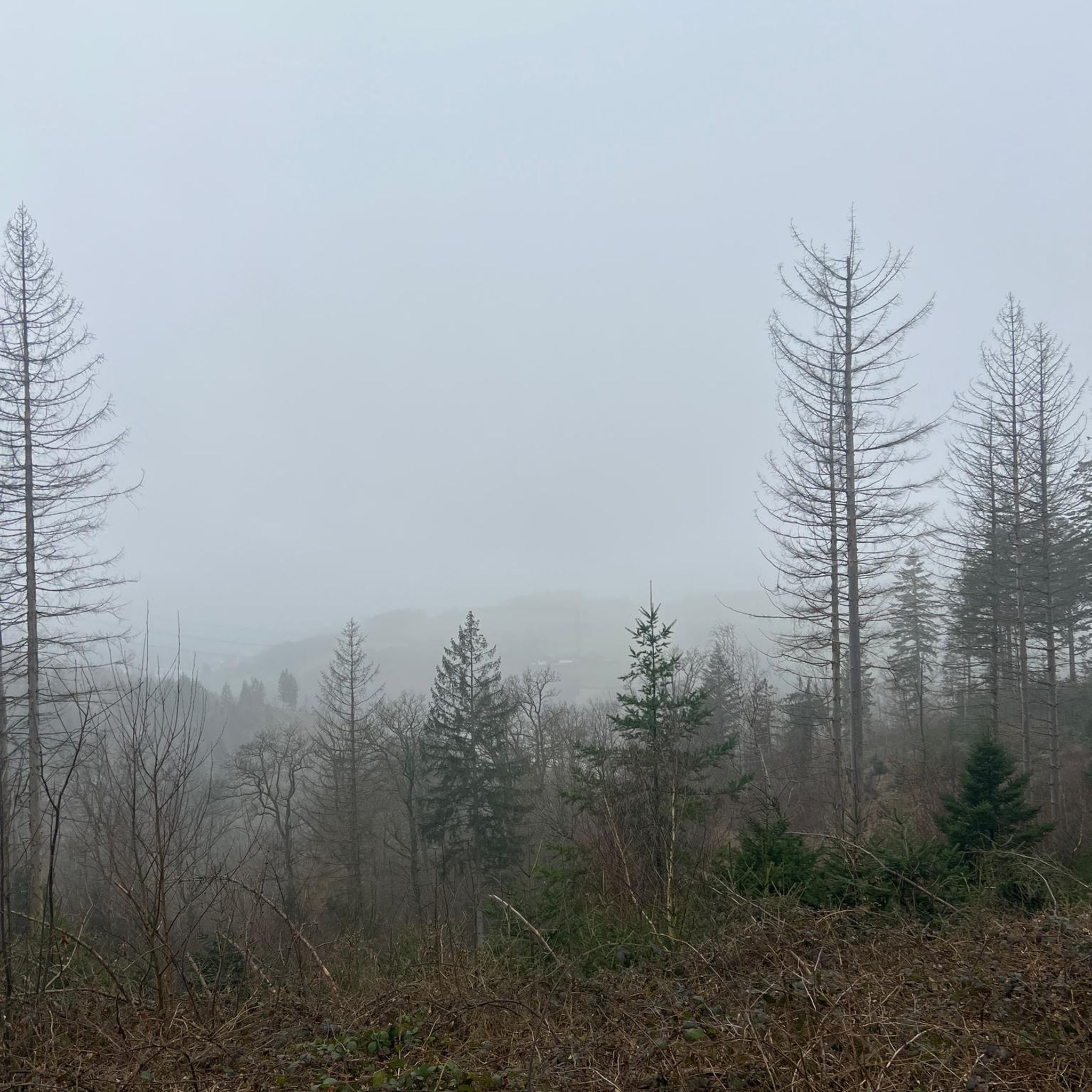
Mountain Hikes around Osterholz

Mountain Hikes around Mirker Hain
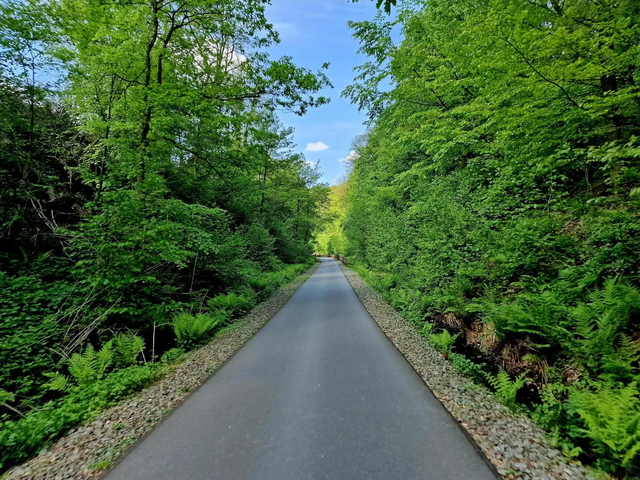
WHEW 100 – An Ultramarathon in three days in the middle of NRW
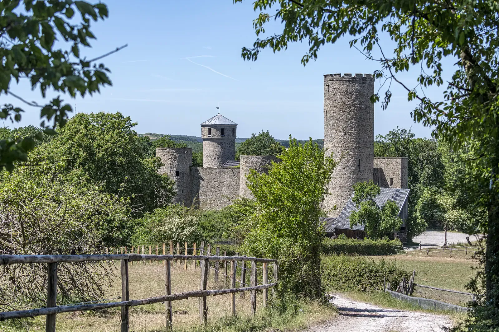
Rhineland Way of St. James – A pilgrimage week
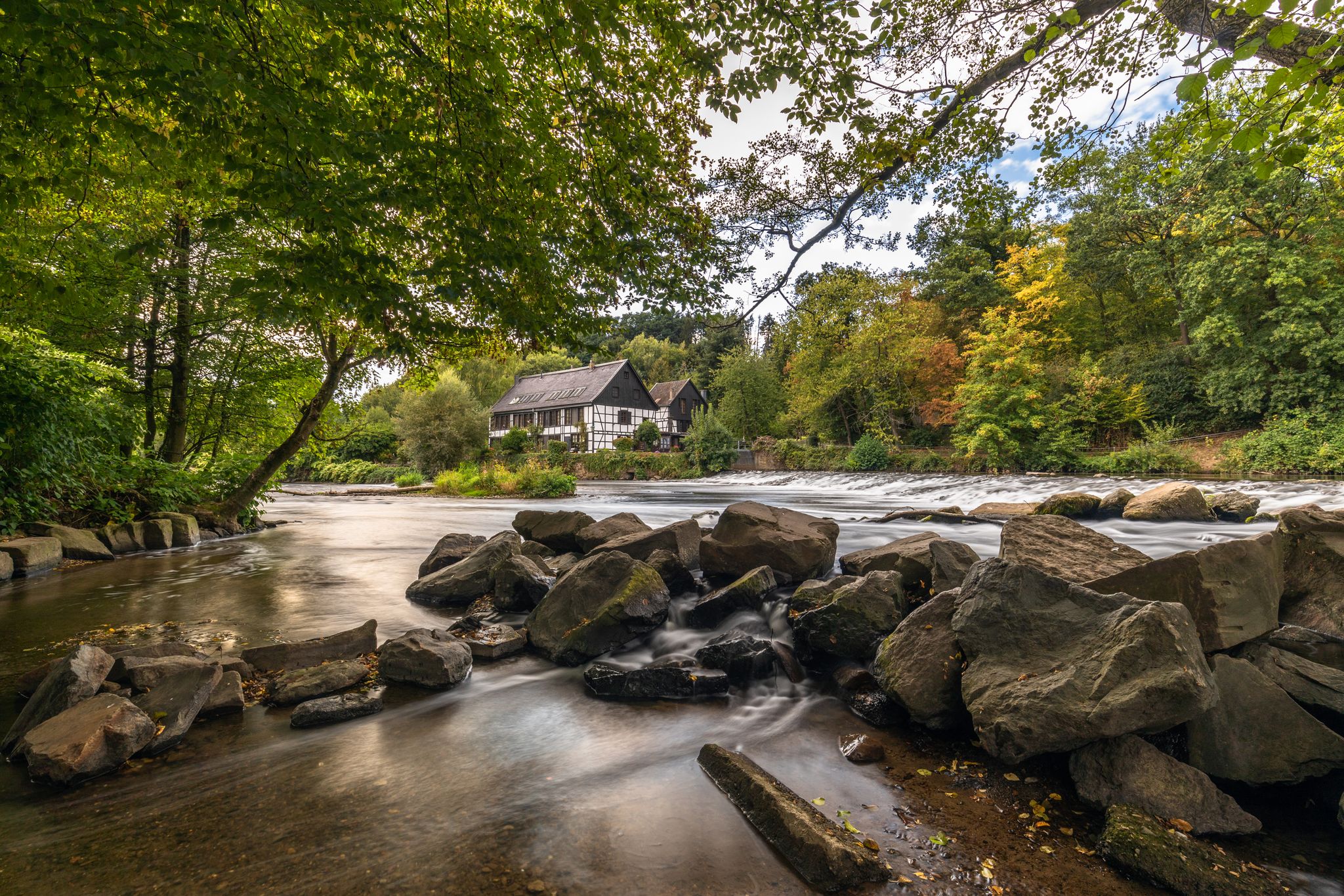
Wupper Trail – On the gentle part through Germany's Bergisches Land
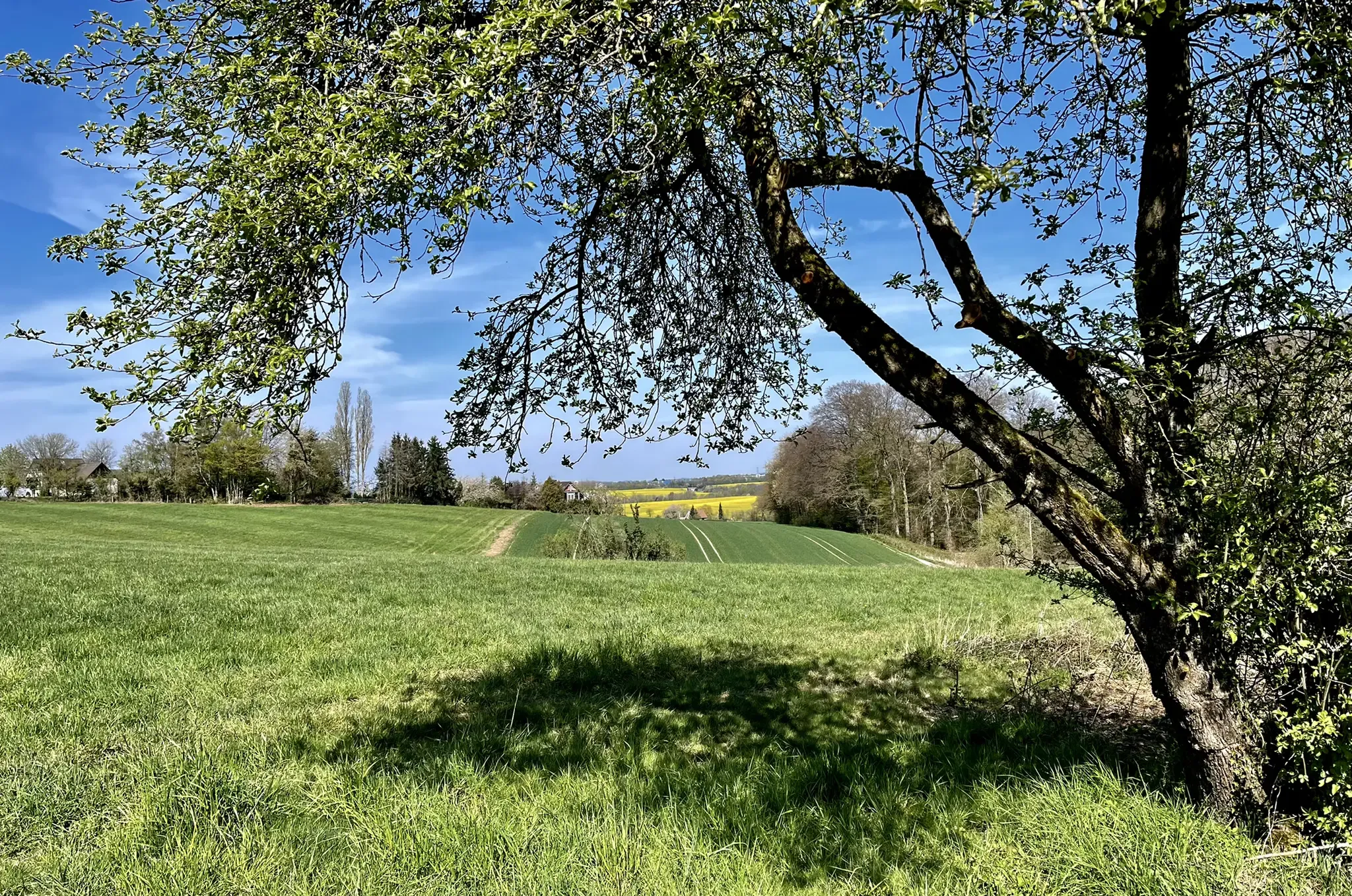
Off into the countryside – discover Wuppertal's forests on foot
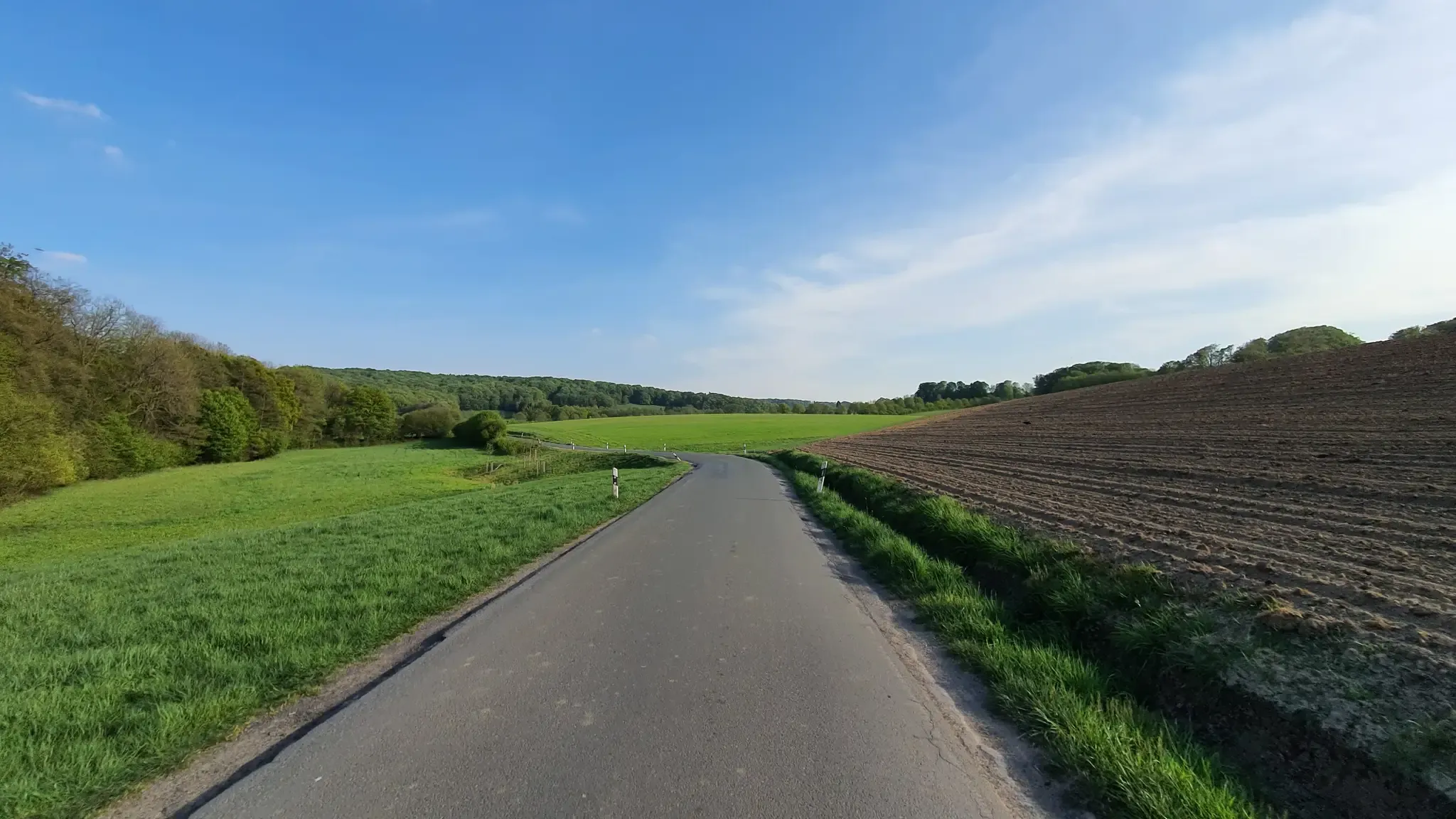
Hills, valleys and tracks – cycling in Elfringhauser Schweiz
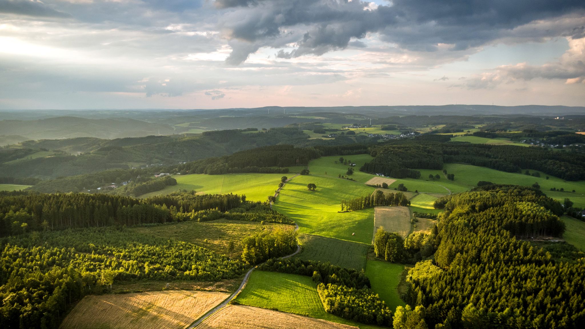
Panoramic adventures — explore Germany’s Bergisches Land
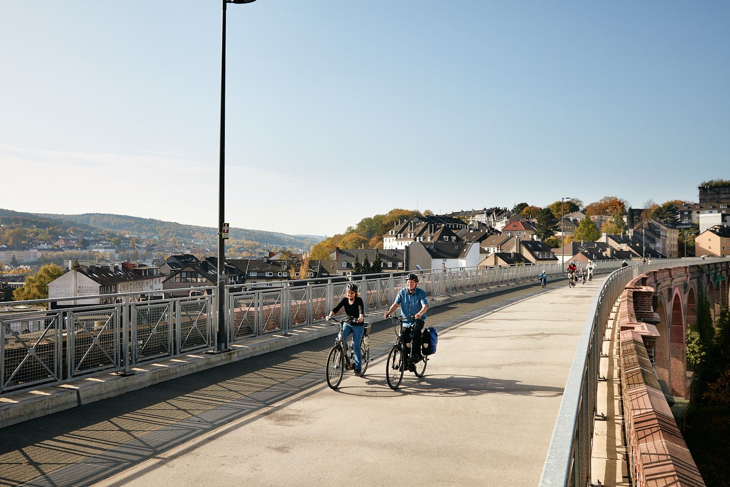
Railway lines & industrial heritage – Cycling through the Bergisches Land
Other adventures around Wuppertal


Tips from the Community

Rustic bridge with head-free function
0
0


Interesting what the Komoot AI does with highlight names. I think this river in the Bergisches Land is called the Wupper... 🤔
0
0
Not pretty, but functional. A great starting point for hikes in the beautiful countryside.
0
0

simply to enjoy
0
0

If you follow the Düssel, you will reach Düsseldorf
0
1

Nice view while waiting for the railway barrier 😉
0
0

Great honey and an even more beautiful farm
0
0
Frequently Asked Questions
What kind of terrain can I expect on mountaineering routes around Wuppertal?
Mountaineering routes in the Wuppertal area traverse the varied landscape of the Bergisches Land, characterized by rolling hills, dense woodlands, and river valleys. You'll encounter numerous streams and reservoirs, contributing to a naturally rich environment. Elevations are generally moderate, with paths often following contours through forests and open fields.
Are there any beginner-friendly mountaineering routes in Wuppertal?
While there are no routes explicitly classified as 'easy' in our current selection, many of the 9 moderate routes are suitable for beginners with a reasonable level of fitness. For instance, the Felderbach Valley Nature Reserve – View of Felderbachtal loop from Felderbachtal is a moderate 5.2-mile (8.4 km) trail that can be completed in about 2 hours 20 minutes, offering a good introduction to the region's terrain.
Where can I find more challenging mountaineering routes near Wuppertal?
For those seeking a more demanding experience, Wuppertal offers a couple of difficult routes. The Rheinbachteiche – Hahnerberg loop from Gelpe-Saalbach is a challenging 14.8-mile (23.8 km) trail with significant elevation gain through forested areas, typically taking over 7 hours to complete. Another difficult option is the Sengbach Reservoir – Burg Castle loop from Burg, which spans 11.3 miles (18.3 km).
Are there any circular mountaineering routes in the Wuppertal area?
Yes, many of the mountaineering routes around Wuppertal are designed as circular tours, allowing you to start and end at the same point. Examples include the moderate Gruiten Dorf – Düssel River in the Neander Valley loop from Vohwinkel and the Kreiswald loop from Langenberg-Mitte.
What are some interesting landmarks or attractions I can see along these routes?
The region around Wuppertal is dotted with historical sites and natural beauty. You might encounter various castles and historical buildings. For example, you could explore highlights like the Keep and castle wall of Rittergut Schöller or Lüntenbeck Castle. Many routes also pass by reservoirs and through nature reserves, offering scenic views.
Is public transport available to reach mountaineering trailheads in Wuppertal?
Wuppertal has a well-developed public transport network, including the Schwebebahn (suspension railway) and bus services. Many trailheads are accessible via public transport, especially those starting from or passing through Wuppertal's districts or nearby towns. It's advisable to check local transport schedules for specific starting points like Vohwinkel or Haan-Gruiten.
Are there good parking options near the mountaineering routes?
Parking availability varies by trailhead. Generally, you can find designated parking areas near popular starting points, especially in smaller towns or villages adjacent to nature reserves. For routes like the View of Felderbachtal – Felderbach Valley Nature Reserve loop from Velbert-Nierenhof, parking is often available in or near the starting village.
What is the best season for mountaineering in Wuppertal?
The Bergisches Land is beautiful year-round. Spring offers lush greenery and blooming wildflowers, while autumn provides stunning foliage. Summer is ideal for longer days and warmer weather, though some routes can be shaded by dense woodlands. Winter can be picturesque, especially after snowfall, but requires appropriate gear and caution due to potentially slippery conditions.
Are there any dog-friendly mountaineering trails in Wuppertal?
Most of the trails in the Wuppertal region are dog-friendly, provided your dog is kept on a leash, especially in nature reserves or areas with livestock. The varied terrain, with woodlands and open paths, offers a great experience for you and your canine companion. Always remember to pack water for your dog and clean up after them.
Can I find cafes or refreshment stops along the mountaineering routes?
While many routes venture into natural areas, some pass through or near villages and towns where you can find cafes, restaurants, or traditional German 'Gasthäuser' for refreshments. For example, routes near Burg Castle or through villages like Gruiten Dorf might offer opportunities for a break. It's always a good idea to check the route details or local maps for specific establishments.
What do other mountaineers enjoy most about the Wuppertal routes?
The mountaineering routes around Wuppertal are highly rated by the komoot community, with an average score of 5.0 stars. Reviewers often praise the diverse landscapes, including the quiet woodlands, scenic river valleys, and well-maintained paths that make for an enjoyable experience.
Most popular routes around Wuppertal
Most popular attractions around Wuppertal

Get inspired with the komoot mobile app


Didn’t find what you were looking for?
Check out more Mountain Hikes & Routes throughout Wuppertal below and find the perfect route in your destination.
Explore more
Browse the best Mountain Hikes & Routes in other regions.
