The best running trails around Vilas Boas
4.3
(3)
106
runners
6
runs
Jogging around Vilas Boas, Portugal, traverses a rural landscape characterized by natural settings and diverse terrains. The region features areas near streams and river valleys, offering varied elevations suitable for running. These paths often lead through picturesque environments, providing opportunities to explore the natural beauty of the area. The landscape transitions from tranquil retreats to more open, rural surroundings.
Best jogging routes around Vilas Boas
- The most popular jogging route is Running loop from Bairro Cova da Moura, a 5.8…
Last updated: June 27, 2026
4.0
(1)
6
runners
15.9km
02:18
770m
770m
Hard run. Very good fitness required. Mostly accessible paths. Some sure footedness required.
5
runners
23.8km
03:13
830m
830m
Hard run. Very good fitness required. Mostly accessible paths. Some sure footedness required.

Sign up for free
3
runners
14.2km
01:32
220m
220m
Moderate run. Good fitness required. Mostly paved surfaces. Suitable for all skill levels.
3
runners
11.7km
01:14
80m
80m
Moderate run. Good fitness required. Mostly paved surfaces. Suitable for all skill levels.
1
runners
6.33km
00:45
120m
120m
Moderate run. Good fitness required. Mostly paved surfaces. Suitable for all skill levels.
Our route recommendations are based on thousands of hikes, rides, and runs completed by other people on komoot.
Start today with a free account
Your next adventure awaits.
Login or Signup

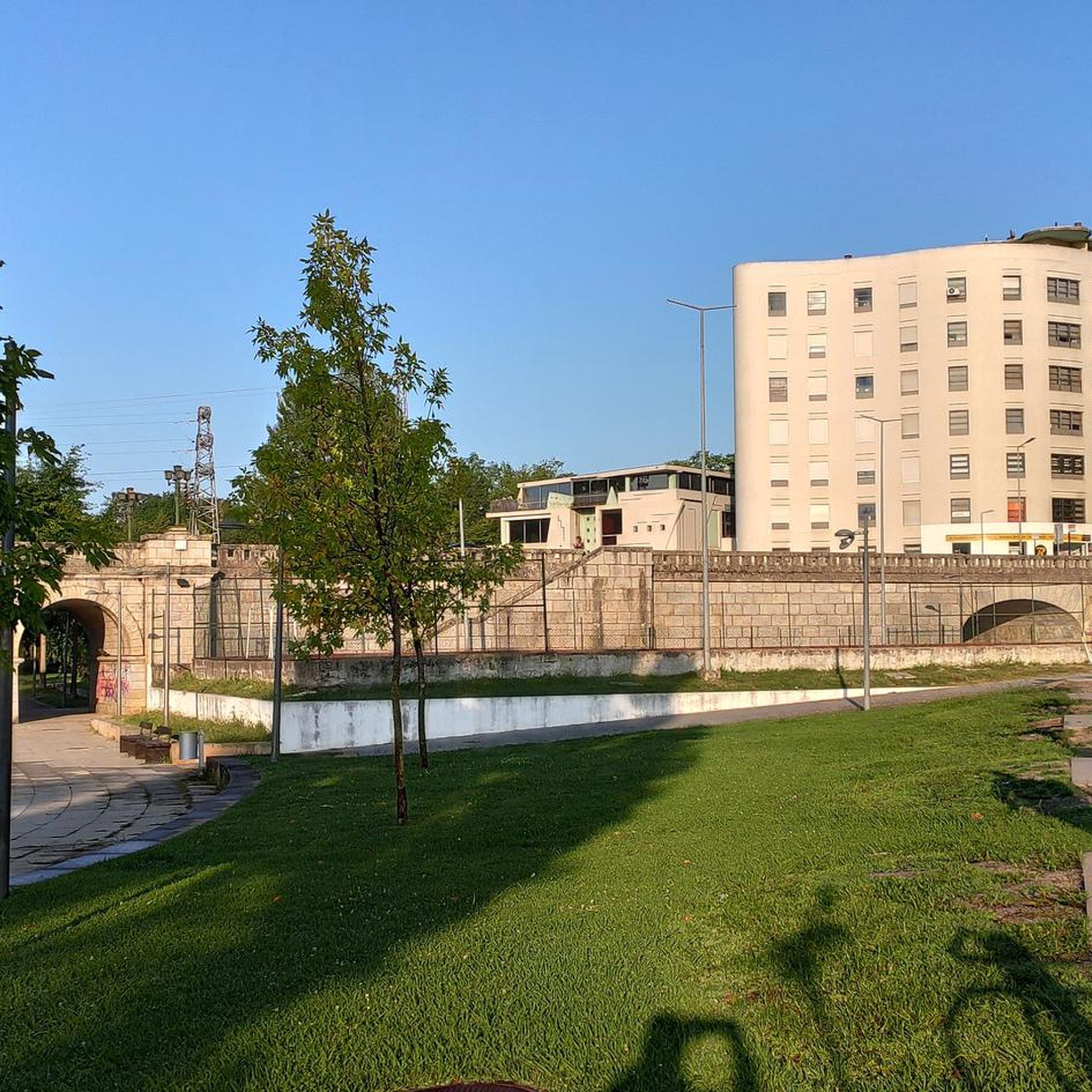
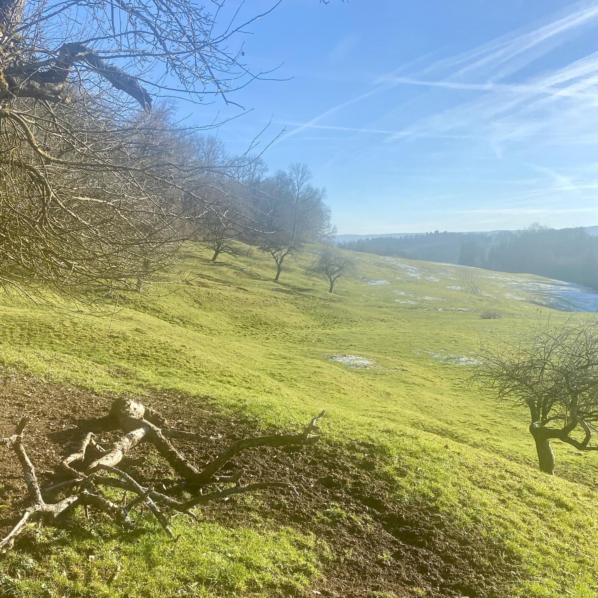

Tips from the Community

A steep but short ascent through the pine Forrest towards the helipad
0
0
Frequently Asked Questions
How many running paths are available around Vilas Boas?
There are several dedicated running routes around Vilas Boas, with a total of 6 trails documented on komoot. These routes offer diverse experiences through the region's natural and rural landscapes.
What kind of terrain can I expect on the running trails in Vilas Boas?
The running trails around Vilas Boas traverse a rural Portuguese landscape, characterized by natural settings and varied elevations. You can expect paths near streams and river valleys, offering a mix of tranquil retreats and open, rural environments. The region's diverse landscapes, similar to the broader Portuguese terrain, provide a scenic backdrop for your run.
Are there options for different fitness levels among the running routes?
Yes, the routes cater to various fitness levels. While there are no routes specifically graded as 'easy', you'll find 4 moderate routes and 2 difficult routes. This means there are plenty of options for those looking for a good workout or a more challenging run.
What do other runners say about the routes in Vilas Boas?
The running routes in Vilas Boas are highly regarded by the komoot community, with an average rating of 4.25 stars from 3 reviews. Over 90 runners have already explored the varied terrain using komoot, praising the natural settings and diverse paths.
Are there any circular running routes in the area?
Yes, many of the running routes around Vilas Boas are designed as loops. For example, the Running loop from Bairro Cova da Moura is a popular 5.8-mile (9.3 km) circular trail with gentle elevation changes, perfect for a consistent run.
Can I find longer running routes for endurance training?
Absolutely. If you're looking for a longer run, consider the Miradouro de S. Lourenço loop from Madalena. This challenging route spans 14.8 miles (23.8 km) and features significant elevation changes, making it ideal for endurance training.
Are there any running routes that offer scenic viewpoints or landmarks?
While specific viewpoints are not detailed for every running route, the region itself offers interesting landmarks. For example, the broader area around Vilas Boas includes attractions like the historic Trajan Bridge (Chaves Roman Bridge) and the charming Chaves Old Town. Many routes will take you through picturesque rural settings.
What are some notable attractions near the running trails in Vilas Boas?
Beyond the running trails, the region offers several points of interest. You can explore the historic Chaves Old Town, marvel at the ancient Trajan Bridge, or visit the Chaves Thermal Spring. These highlights provide a glimpse into the local culture and history.
Are there any running routes with moderate difficulty that are still quite long?
Yes, the Running loop from Chaves is a moderate 8.8-mile (14.2 km) trail. It leads through varied terrain and is typically completed in about 1 hour 32 minutes, offering a good balance of distance and manageable challenge.
What is a good running route for someone looking for a moderate distance with rural scenery?
The Running loop from Madalena e Samaiões is an excellent choice. This moderate 7.3-mile (11.7 km) path offers a delightful mix of rural scenery and natural surroundings, typically completed in about 1 hour 14 minutes.
Are there any particularly challenging running routes for experienced runners?
For experienced runners seeking a significant challenge, the Cabeça Grande loop from Vilar de Nantes is a difficult 9.9-mile (15.9 km) route with substantial elevation changes, providing a demanding and rewarding experience.
Most popular routes around Vilas Boas
Most popular attractions around Vilas Boas

Get inspired with the komoot mobile app


Explore more
Browse the best Running Trails & Routes in other regions.
