
The best running trails around Ortiga
53
runners
4
runs
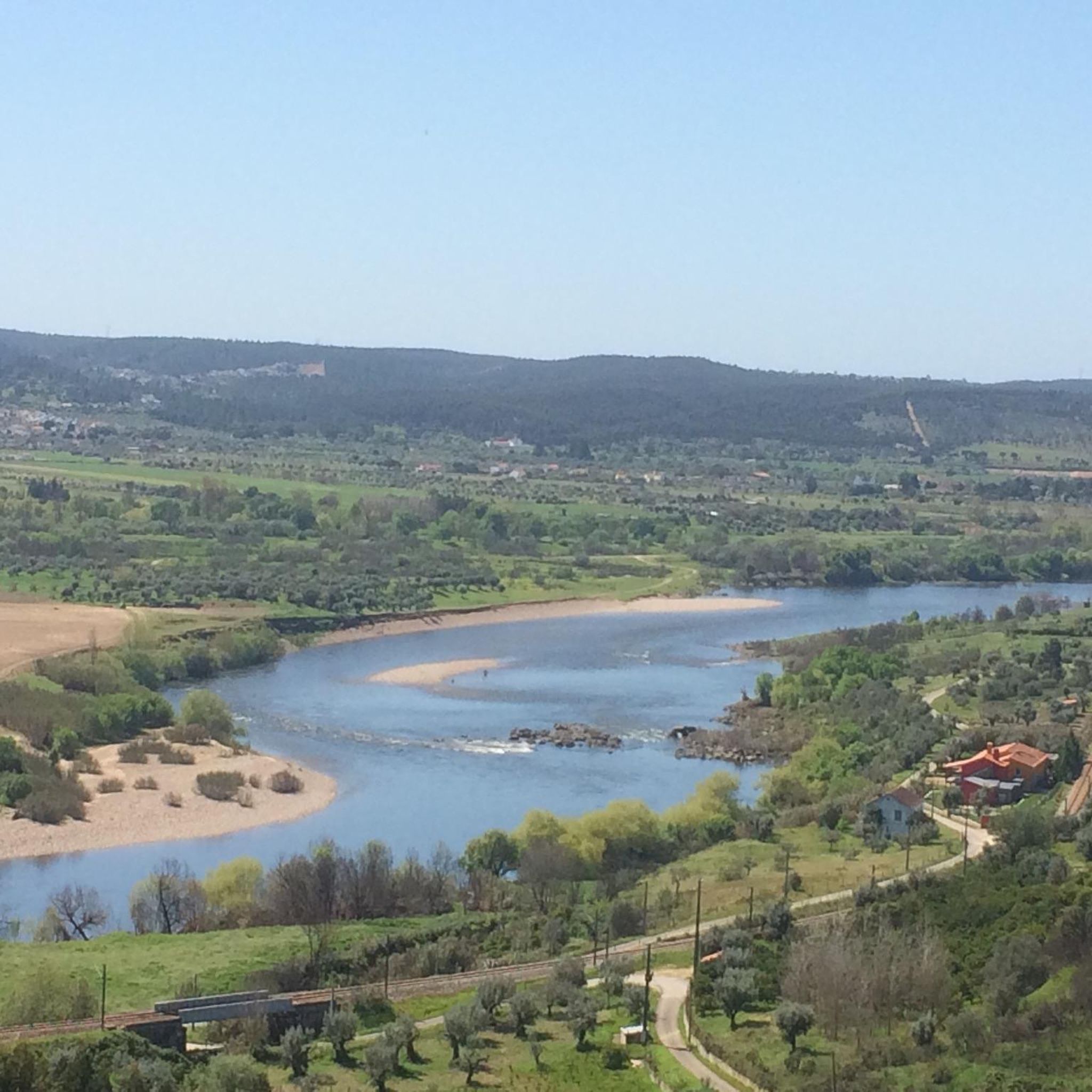
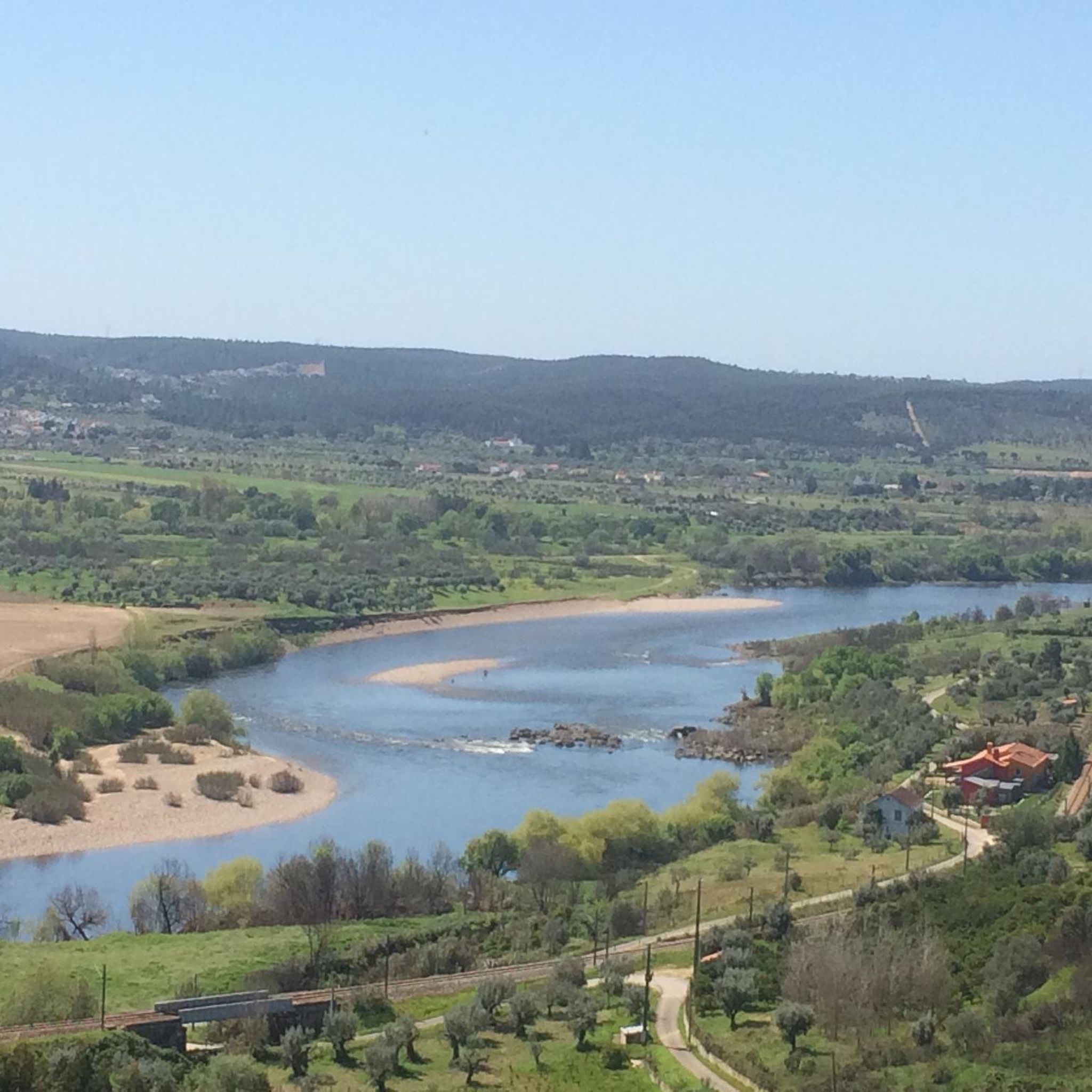
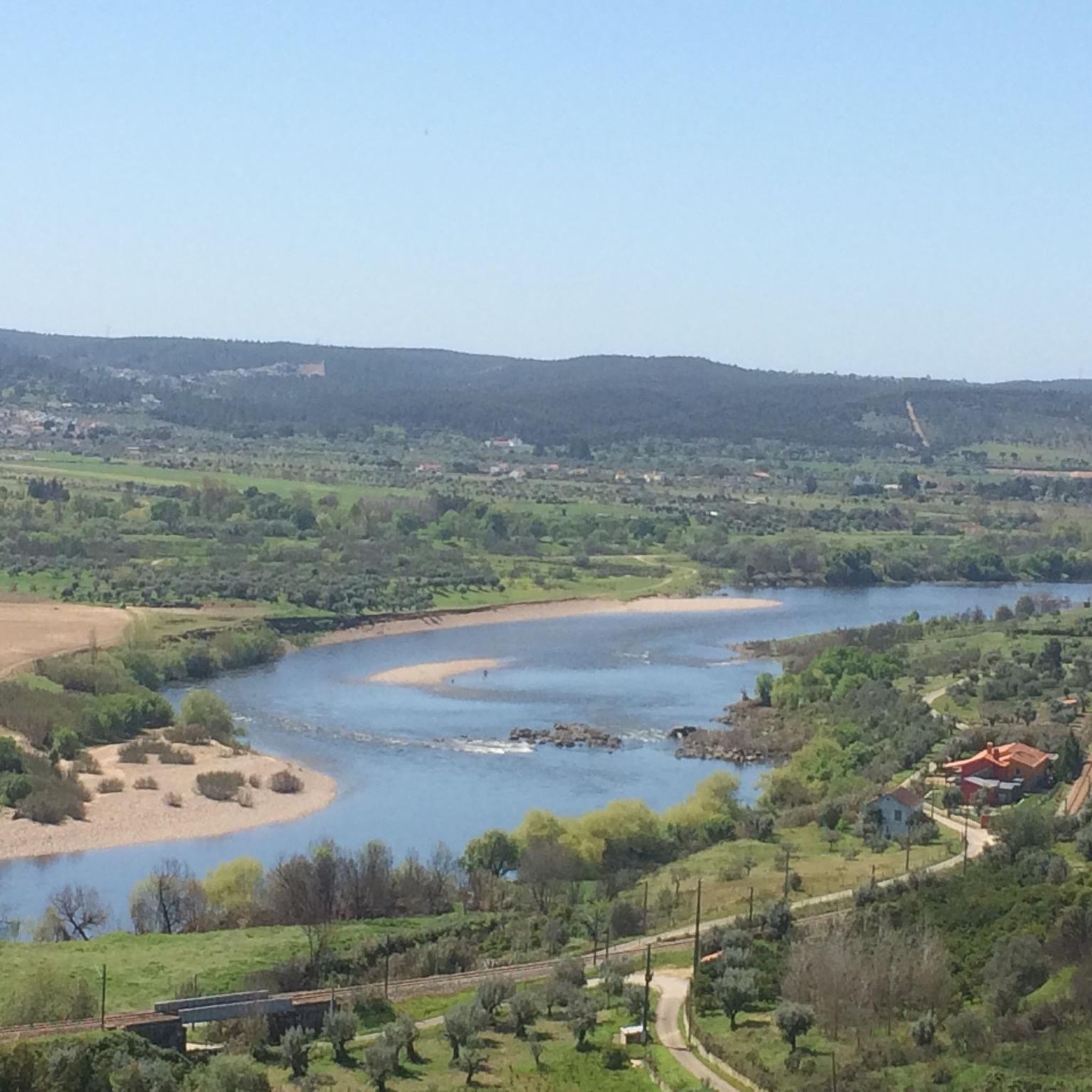
Jogging around Ortiga offers routes along its coastal promenade and through charming urban streets. This small island, connected to the mainland, provides a unique blend of waterfront views and historical architecture. Runners can experience varied terrain, from flat coastal paths to routes winding through ancient piazzas and narrow alleys. The landscape is characterized by its Mediterranean coastline and historical urban fabric.
Best jogging routes around Ortiga
- The most popular jogging route is Running loop from Ortiga, a 4.3 miles…
Last updated: October 14, 2026
18
runners
29.2km
03:42
530m
530m
Hard run. Very good fitness required. Mostly paved surfaces. Suitable for all skill levels.
14
runners
27.0km
03:21
480m
480m
Hard run. Very good fitness required. Mostly paved surfaces. Suitable for all skill levels.

13
runners
30.9km
03:53
640m
640m
Hard run. Very good fitness required. Mostly paved surfaces. Suitable for all skill levels.
5
runners
6.93km
00:45
100m
100m
Moderate run. Good fitness required. Mostly paved surfaces. Suitable for all skill levels.
3
runners
4.79km
00:30
60m
60m
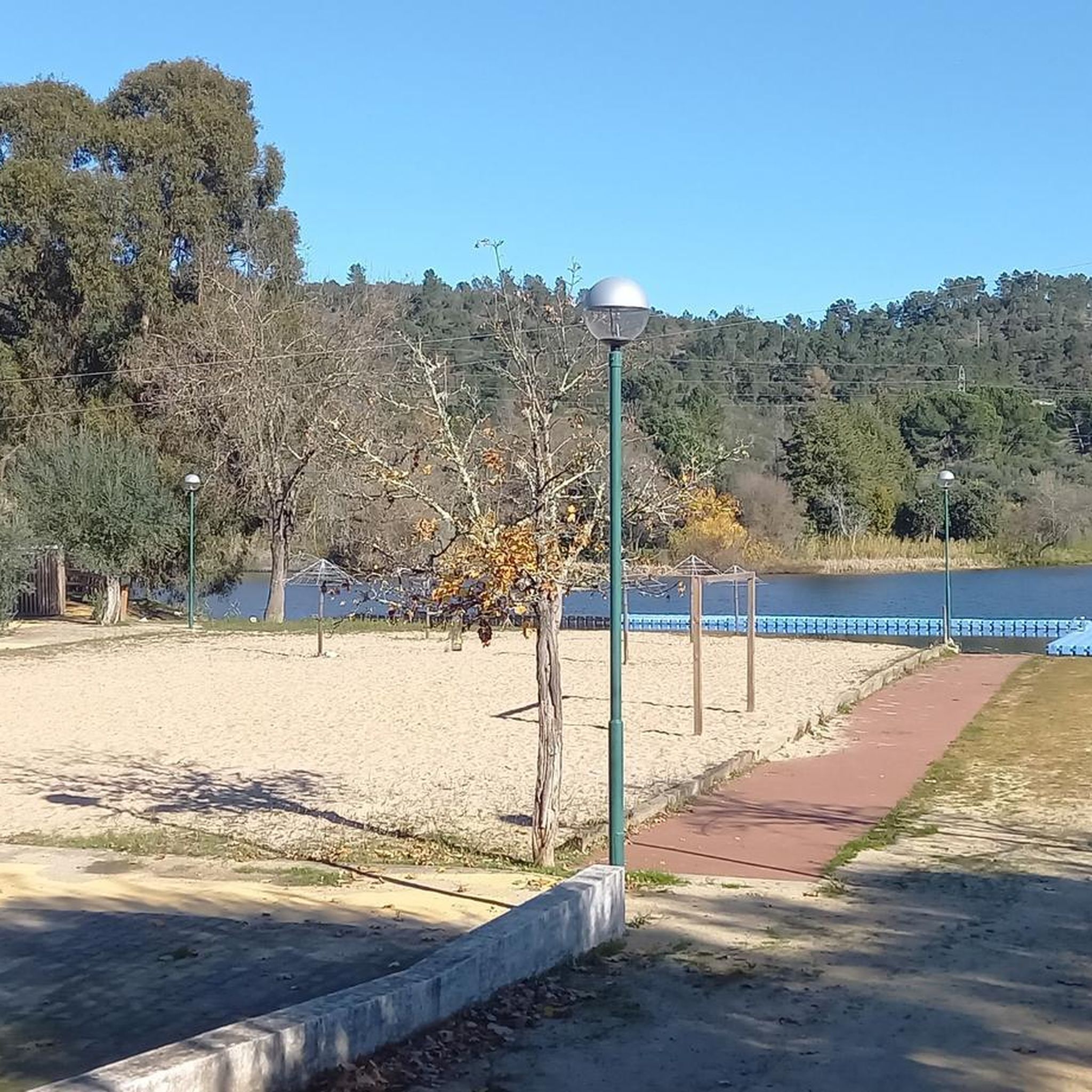
Easy run. Great for any fitness level. Mostly paved surfaces. Suitable for all skill levels.
Our route recommendations are based on thousands of hikes, rides, and runs completed by other people on komoot.
Start today with a free account
Your next adventure awaits.
Frequently Asked Questions
How many running routes are available in Ortigia?
Komoot offers a selection of 5 curated running routes around Ortigia, catering to various fitness levels. These include easy loops, moderate coastal paths, and more challenging trails.
What kind of terrain can I expect on Ortigia's jogging routes?
Jogging in Ortigia offers a diverse experience. You'll find routes along the stunning waterfront promenade, providing continuous sea views. Other paths wind through charming, narrow urban streets, ancient piazzas like Piazza del Duomo, and past historical landmarks. The terrain is generally flat along the coast, with gentle elevation changes in some urban sections.
Are there any easy running routes suitable for beginners or a relaxed jog?
Yes, for an easy and relaxed run, consider the Running loop from Mouriscas. This 3.0-mile (4.8 km) path features gentle elevation changes and is perfect for beginners or those looking for a less strenuous outing.
What historical landmarks or points of interest can I see while running in Ortigia?
Ortigia's running routes are rich with history. You can jog past the ancient Temple of Apollo, marvel at the impressive Castello Maniace at the island's tip, and run through picturesque squares like Piazza del Duomo, surrounded by Baroque architecture. The Fonte Aretusa, a freshwater spring steeped in Greek mythology, is also a notable natural attraction along the seafront.
Are there any circular running routes in Ortigia?
Many of Ortigia's running paths are designed as loops, allowing you to start and finish in the same location. A popular option is the Running loop from Ortiga, a 4.3-mile (6.9 km) moderate trail that circles the island, offering continuous coastal views and historical sights.
What is the best time of day or year to go jogging in Ortigia?
The best time for jogging in Ortigia is typically during the cooler parts of the day, such as early morning or late afternoon, especially in the warmer months. Spring and autumn offer pleasant temperatures for running throughout the day. The coastal setting provides refreshing sea breezes, making it enjoyable even when the sun is out.
Are there any challenging or advanced running trails in the Ortigia area?
For more advanced runners seeking a challenge, the region offers routes with greater distances and elevation. An example is the Alto de Carramoio loop from Gavião, a difficult 18.1-mile (29.2 km) trail with significant elevation changes, providing a demanding workout and expansive views.
Are Ortigia's running routes suitable for families?
Yes, Ortigia offers family-friendly running options, particularly the flatter coastal promenades and less crowded urban paths. The shorter, easy loops are ideal for families with children, allowing them to enjoy the scenery and historical sites at a comfortable pace. Always ensure children are supervised, especially near roads or water.
Can I bring my dog on the running trails in Ortigia?
Many of Ortigia's outdoor spaces, including its coastal paths and promenades, are generally dog-friendly. However, it's always advisable to keep dogs on a leash, especially in urban areas or near historical sites, and to be mindful of local regulations and other pedestrians. Always carry water for your dog, particularly during warmer weather.
Are there cafes or places to get refreshments near the running routes?
Absolutely. Ortigia is known for its vibrant atmosphere, and you'll find numerous cafes, bars, and restaurants scattered throughout the island, especially around the main piazzas and along the waterfront. These are perfect for a post-run coffee, a refreshing drink, or a meal, allowing you to refuel and soak in the local ambiance.
What are the surface types like on Ortigia's running paths?
The running surfaces in Ortigia vary. Along the waterfront, you'll primarily encounter paved promenades. Within the urban core, paths consist of cobblestones and paved streets, which add to the historical charm but require appropriate footwear. Some longer routes extending beyond the immediate island might include mixed surfaces.
Is there parking or public transport access to the running routes in Ortigia?
Ortigia is connected to the mainland by two bridges, making it accessible. While the island itself has limited vehicle access, parking is available on the mainland just outside Ortigia, with several paid parking lots. Public transport options, including local buses, also serve the area, allowing easy access to the island's entrance points and running routes.
Are there any longer running routes for endurance training?
For those looking for longer runs, the area around Ortigia offers extended options. The Barragem do Negrelinho loop from Mouriscas, for example, is a difficult 16.8-mile (27.0 km) trail that provides a significant distance and elevation for endurance training, taking you through varied terrain beyond the immediate island.
Most popular routes around Ortiga

Get inspired with the komoot mobile app


Explore more
Browse the best Running Trails & Routes in other regions.
