The best running trails around La Sierpe
70
runners
9
runs
Jogging around La Sierpe offers varied terrain, from the gentle slopes of the countryside to more challenging hilly paths. The region is characterized by a mix of agricultural landscapes, woodlands, and river valleys, providing diverse scenery for runners. Trails often feature natural surfaces, winding through rural areas and offering views of the local topography.
Best jogging routes around La Sierpe
- The most popular jogging route is Pico Cervero and Honfrías Trail, an 11.7 miles (18.8 km) trail that takes…
Last updated: June 29, 2026
23
runners
18.8km
02:20
480m
480m
Jogging the difficult 11.7-mile Pico Cervero trail offers panoramic views and diverse forests in the Quilamas Natural Space.
23
runners
19.4km
02:19
500m
500m
Hard run. Very good fitness required. Mostly paved surfaces. Suitable for all skill levels.

Sign up for free
3
runners
13.0km
01:26
240m
240m
Moderate run. Good fitness required. Mostly paved surfaces. Suitable for all skill levels.
3
runners
15.7km
01:58
380m
380m
Hard run. Very good fitness required. Sure-footedness, sturdy shoes and alpine experience required.
2
runners
9.84km
01:07
200m
200m
Moderate run. Good fitness required. Mostly paved surfaces. Suitable for all skill levels.
Get access to more routes and recommendations from other explorers.
Sign up for free
Already have an account?
Our route recommendations are based on thousands of hikes, rides, and runs completed by other people on komoot.
Start today with a free account
Your next adventure awaits.
Login or Signup
Tips from the Community

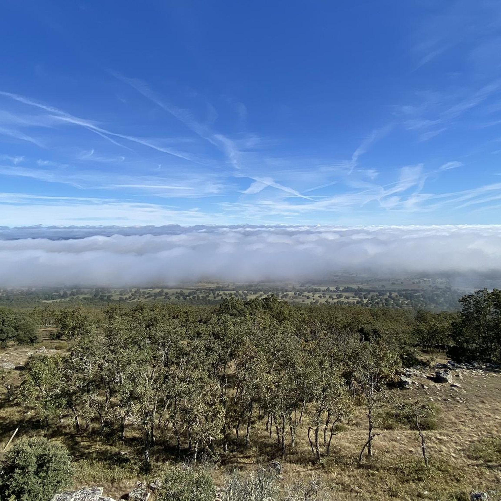
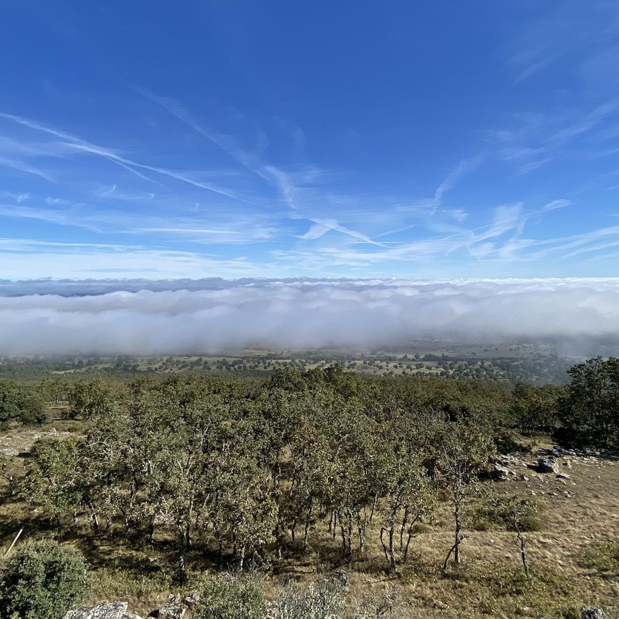
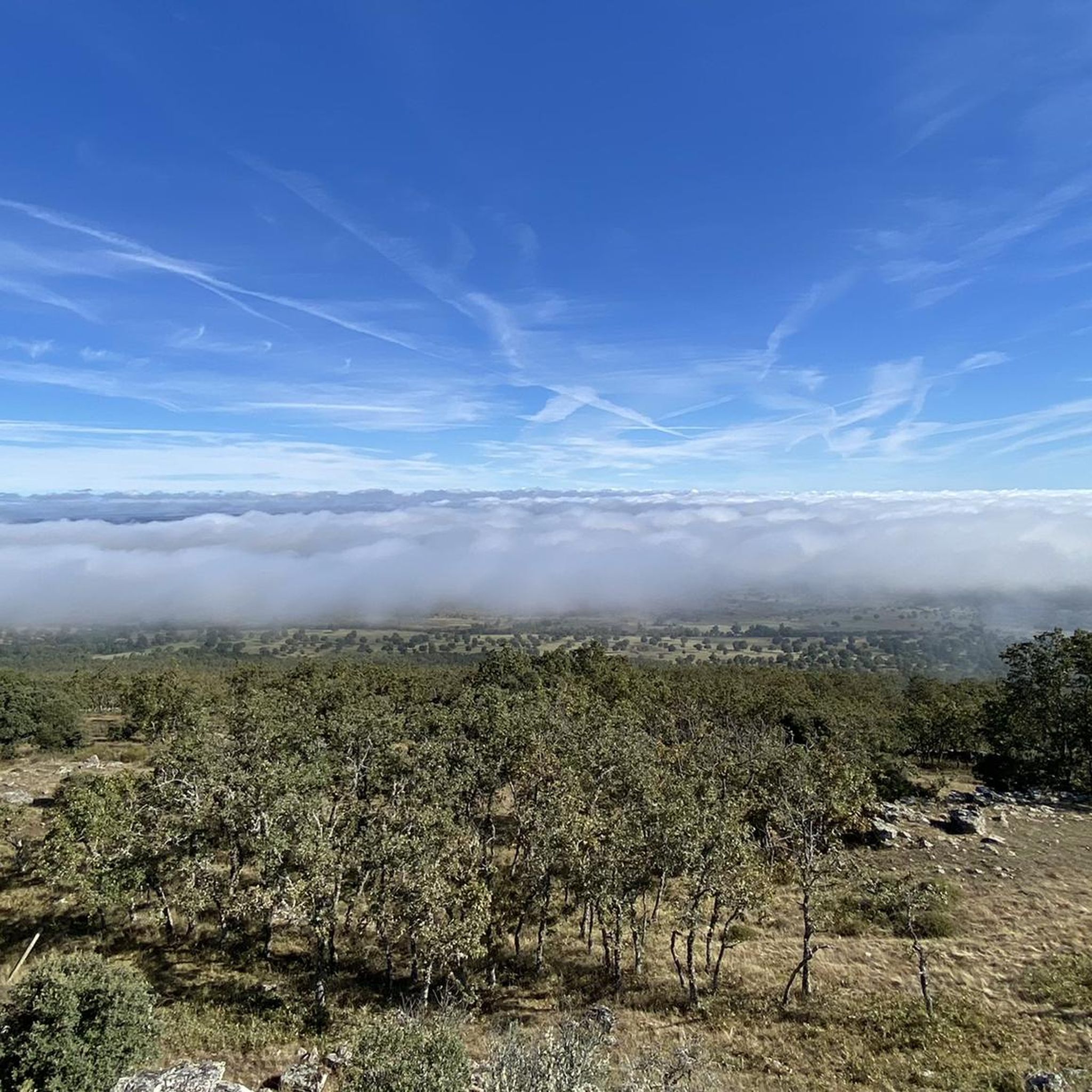
Located between the municipalities of Navarredonda de la Rinconada and Escurial de la Sierra, in the Sierra de Francia-Quilamas region. A protected natural area within the Natura 2000 network, with oak and chestnut forests and wildlife such as the golden eagle and griffon vulture.
5
0

The top of Pico Cervero is located at 1,522 meters above sea level within the wonderful Natural Space of Las Quilamas. The ascent is demanding and depending on where you climb it from, it may have some technical sectors. From Linares de Riofrío you can follow the path through the Honfrías forest, a wonderful and picturesque place.
1
1

The most recommended times for this route are May, well into spring and autumn. The landscapes of the area with the trees covered with leaves are highly recommended, especially the forest of La Honfría.
1
0

Magical place, excellent 360º views (if it is not cloudy). It is worth the ascent both by mountain bike, gravel or walking.
1
0

El Cervero is the highest peak in the Sierra de las Quilamas, with an altitude of 1465 meters
1
0
Pico Cervero. Spectacular views of the entire Sierra de Francia
1
0
Frequently Asked Questions
How many running routes are available in La Sierpe?
There are 6 dedicated running routes around La Sierpe featured in this guide. These routes offer a variety of experiences, from moderate loops to more challenging trails with significant elevation gain.
What is the typical terrain like for jogging in La Sierpe?
Jogging around La Sierpe is characterized by rolling hills, wooded sections, and open rural paths. You can expect natural surfaces winding through agricultural landscapes and river valleys, offering diverse scenery. Routes vary from moderate to difficult, with some featuring significant elevation changes.
Are there any challenging running routes for experienced runners?
Yes, for experienced runners seeking a challenge, the Pico Cervero and Honfrías Trail is a difficult 11.7-mile (18.8 km) route with substantial elevation gain, leading through the scenic Honfrías area.
Are there any moderate-difficulty running loops in the area?
Absolutely. A popular moderate option is the Running loop from Monleón, which is 8.1 miles (13.0 km) long and offers a balanced challenge with rolling hills and pleasant countryside views. Another great choice is the La Honfría Recreation Area loop from Linares de Riofrío, a 6.7-mile (10.8 km) trail through woodlands and open fields.
What kind of natural features or landmarks can I see while running in La Sierpe?
While jogging in La Sierpe, you can enjoy views of the local topography, agricultural landscapes, woodlands, and river valleys. Nearby attractions include the Climb to Frades de la Sierra, the Santiago Cross on Pico de Las Dueñas, and the Fuente de La Morana. These offer interesting points of interest along or near the trails.
Are there any circular running routes in La Sierpe?
Yes, several routes are designed as loops, perfect for a continuous run. Examples include the Running loop from Monleón, the La Honfría Recreation Area loop from Linares de Riofrío, and the Fuente de la Mora loop from Las Veguillas.
What do other runners say about the jogging routes in La Sierpe?
More than 40 runners have used komoot to explore La Sierpe's varied terrain. They often praise the diverse scenery, from rolling hills to wooded sections and open rural paths, which provide a dynamic and engaging environment for outdoor activity.
Are the running trails in La Sierpe suitable for families?
The guide features routes of varying difficulty. While some trails are more challenging, routes like the La Honfría Recreation Area loop from Linares de Riofrío, with its moderate difficulty and passage through woodlands and open fields, could be suitable for active families looking for a longer walk or a gentle run together, depending on their fitness levels.
What is the best season for running in La Sierpe?
Given the region's characteristics, spring and autumn generally offer the most pleasant conditions for running, with milder temperatures. Summer can be warm, making early mornings or late afternoons ideal. Winter runs are also possible, but it's advisable to check local weather conditions.
Is there parking available near the running trails?
While specific parking information for each trail is not detailed in the guide, routes often start from or pass through villages like Monleón, Linares de Riofrío, or Las Veguillas. It is generally possible to find parking in or near these settlements, especially in rural areas. We recommend checking local maps or community information for specific parking spots.
Can I bring my dog on the running routes in La Sierpe?
Many rural trails in Spain are dog-friendly, especially if your dog is well-behaved and kept under control. However, it's always best to check local regulations, particularly if trails pass through private land, protected areas, or agricultural zones where livestock may be present. Always carry water for your dog and clean up after them.
Most popular attractions around La Sierpe

Get inspired with the komoot mobile app


Explore more
Browse the best Running Trails & Routes in other regions.
