The best gravel rides around Embalse de Charco Redondo
5.0
(2)
42
riders
3
rides
Gravel biking around Embalse de Charco Redondo offers routes through the diverse landscapes of Los Alcornocales Natural Park. The region is characterized by extensive cork oak forests, providing shaded environments and varied terrain. The reservoir itself, fed by the Palmones River, forms a central feature, bordered by the Montes de Propios and offering scenic views. The area includes mountains, valleys, and numerous streams, contributing to a dynamic backdrop for cycling.
Best gravel bike trails around Embalse de Charco Redondo
- The…
Last updated: July 10, 2026
5.0
(1)
11
riders
Hard gravel ride. Very good fitness required. Mostly paved surfaces. Suitable for all skill levels.
7
riders
47.1km
03:54
880m
880m
Hard gravel ride. Very good fitness required. Mostly paved surfaces. Suitable for all skill levels.

Sign up for free
5.0
(1)
12
riders
94.0km
06:08
1,110m
1,110m
Hard gravel ride. Very good fitness required. Mostly paved surfaces. Suitable for all skill levels.
13
riders
87.5km
05:32
1,360m
1,360m
Hard gravel ride. Very good fitness required. Mostly paved surfaces. Suitable for all skill levels.
Our route recommendations are based on thousands of hikes, rides, and runs completed by other people on komoot.
Start today with a free account
Your next adventure awaits.
Login or Signup
Tips from the Community

This will not be a favourite for vertigo sufferers, and you can avoid it altogether by staying on the main road (A-2226). However, the Corredor Verde de Dos Bahías is really beautiful.
0
0

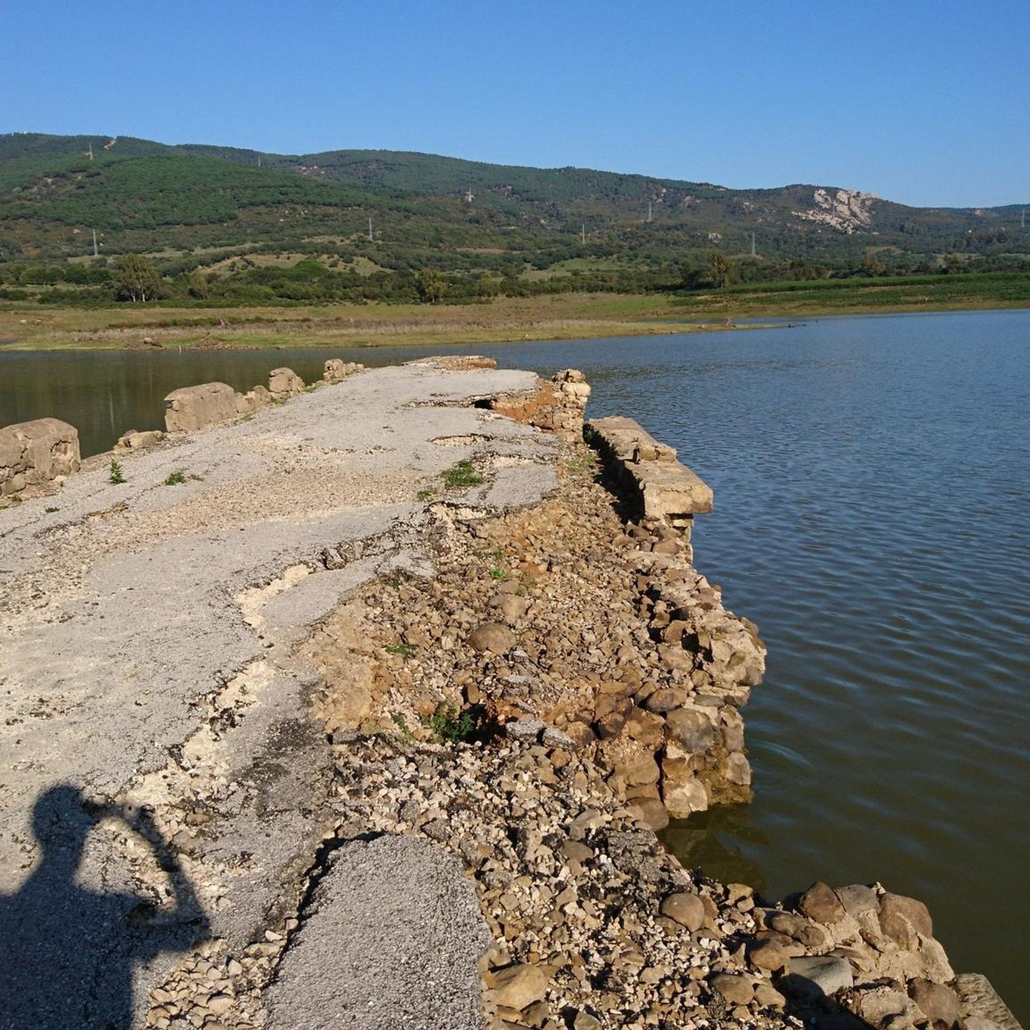
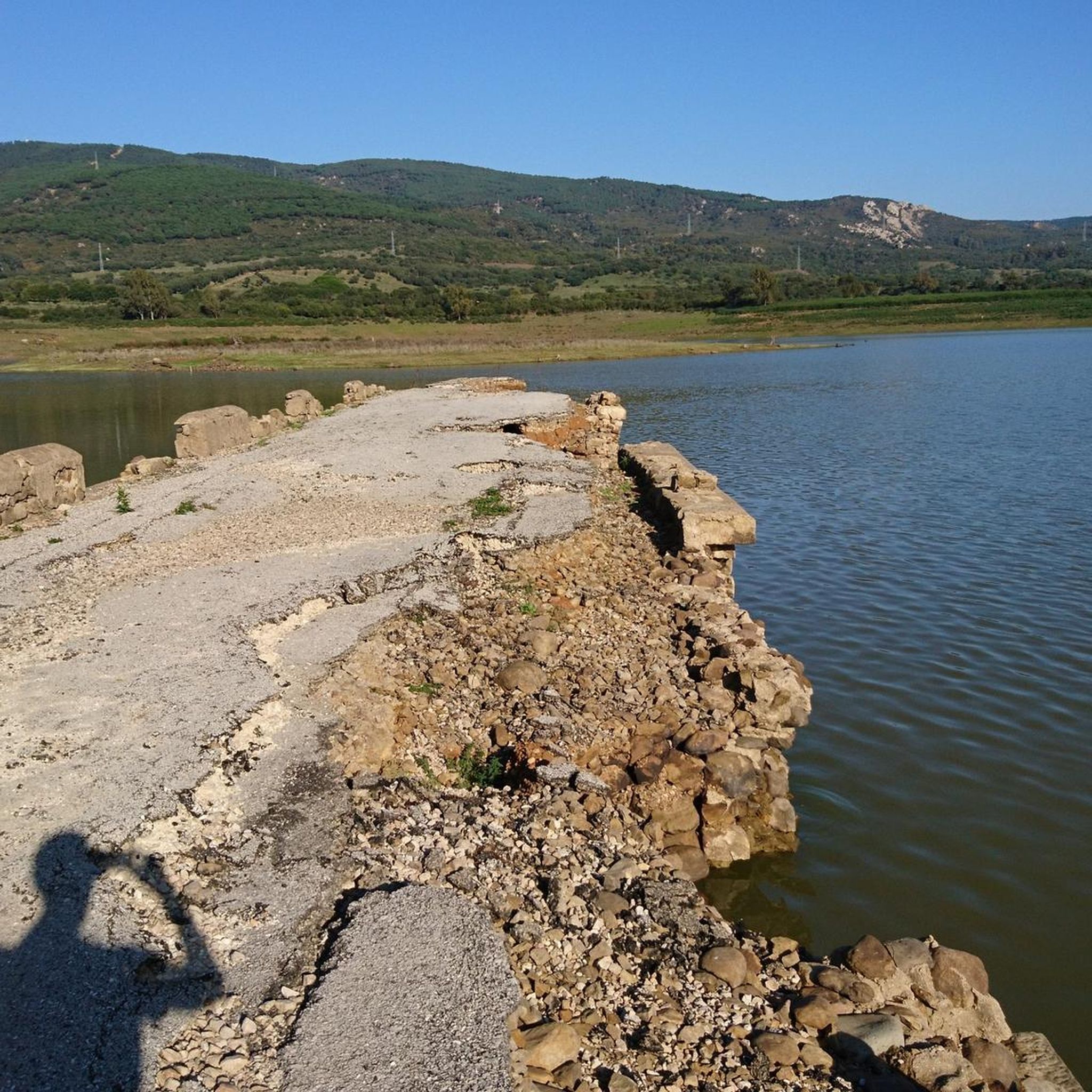
Large reservoir. However, very flat. Actually doesn't invite you to swim :-)
3
0


This reservoir is located in the Los Alcornocales natural park. It is a very quiet area surrounded by nature, ideal for taking a breather.
0
0

amazing graded gravel through the national park
0
0

This viewpoint is located on what was formerly an important Roman road that connected the Campo de Gibraltar with the western bay of Cádiz. It is located within the Los Alcornocales natural park, so it is not difficult to see these trees on the sides of the immense pastures.
3
0
Located in the Los Alcornocales natural park, the Almodóvar river runs only through the province of Cádiz and its flow is regulated by this reservoir of the same name. It is located just five kilometers from Facinas, a district of Tarifa.
5
0

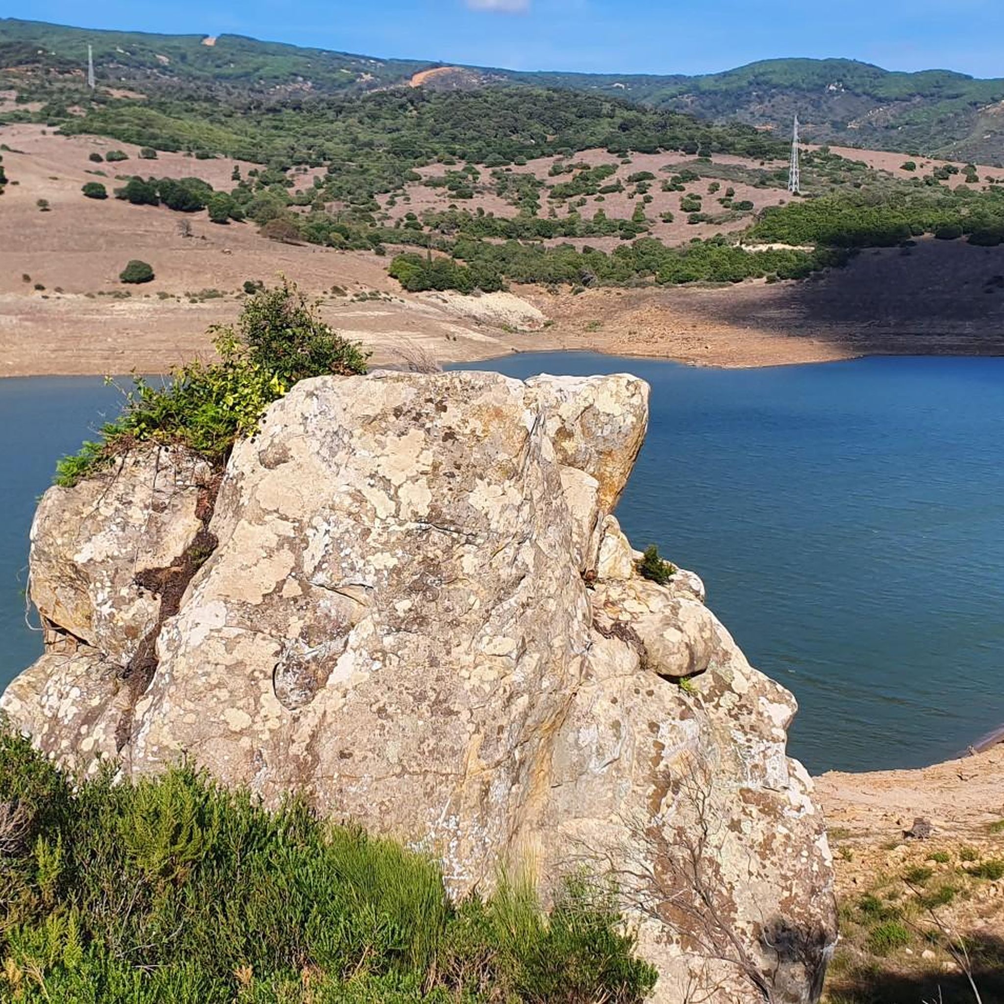
This curious rock formation attracts a lot of attention and its name is due to the imagination of some who have assimilated it with that shape.
2
0
Frequently Asked Questions
What is the typical difficulty level of gravel bike trails around Embalse de Charco Redondo?
The gravel bike trails highlighted in this guide are generally considered difficult, featuring significant elevation changes and challenging terrain. For example, the Puerto de Ojén Viewpoint – Almodóvar Reservoir loop from Cortijo Fuente del Bacalao involves over 600 meters of ascent.
What are the typical distances and durations for gravel bike routes in this area?
The routes around Embalse de Charco Redondo vary in length, with options ranging from approximately 43 kilometers to nearly 94 kilometers. Durations can range from around 3.5 hours to over 7 hours, depending on the route and your pace. For instance, the Ojén Pass Viewpoint – Almodóvar Reservoir loop from Los Barrios is about 94 kilometers long and typically takes over 6 hours to complete.
When is the best time of year to go gravel biking around Embalse de Charco Redondo?
The region, situated within Los Alcornocales Natural Park, benefits from extensive cork oak forests that provide shade, making spring and autumn ideal for gravel biking. These seasons offer pleasant temperatures and lush landscapes. While summer can be warm, the shaded trails can still be enjoyable. Winters are generally mild, allowing for year-round cycling, though some trails might be wetter.
Are there any family-friendly or beginner gravel biking routes near Embalse de Charco Redondo?
While the routes featured in this guide are rated as difficult, the broader area around Embalse de Charco Redondo, particularly the recreational zone and picnic areas, offers a picturesque setting. You might find quieter, less challenging paths suitable for families or beginners, though specific easy gravel routes are not detailed in this guide. The natural park's varied terrain means there are options for many skill levels beyond the challenging ones listed.
Where can I find parking when gravel biking around Embalse de Charco Redondo?
Many routes start from towns like Los Barrios or near specific cortijos (country estates) such as Cortijo Fuente del Bacalao, which often have designated or informal parking areas. The recreational zone at Charco Redondo also provides well-equipped spaces for visitors, likely including parking. It's advisable to check specific starting points for parking availability before your ride.
What kind of landscapes can I expect to see while gravel biking here?
You'll experience diverse landscapes, primarily characterized by the extensive cork oak forests of Los Alcornocales Natural Park. The routes often feature scenic views of the Embalse de Charco Redondo reservoir, fed by the Palmones River, and traverse mountains, valleys, and river systems. You might also encounter gorges and streams, adding to the dynamic natural backdrop.
Are there any circular gravel bike routes available?
Yes, many of the gravel biking routes in the area are circular, allowing you to start and end at the same point. For example, the Montecoche – View from Montecoche loop from Los Barrios is a challenging circular path offering panoramic vistas.
Are dogs allowed on the gravel bike trails in Los Alcornocales Natural Park?
Los Alcornocales Natural Park generally welcomes visitors with dogs, but it's crucial to keep them on a leash to protect wildlife and ensure the safety of other users. Always practice responsible pet ownership by cleaning up after your dog and respecting park regulations.
Are there places to eat or stay near the gravel biking routes?
The nearby town of Los Barrios, often a starting point for many routes, offers amenities such as cafes, pubs, and accommodation options suitable for cyclists. The Charco Redondo recreational zone also has a 'merendero' (picnic area) where you can relax before or after your ride.
What makes gravel biking around Embalse de Charco Redondo unique?
The unique combination of riding through one of Andalusia's most extensive cork oak forests, alongside the picturesque Embalse de Charco Redondo, and experiencing significant elevation changes makes this area special. The varied terrain, from shaded forest paths to open reservoir views, provides a rewarding and immersive natural experience.
Can I access the gravel trails using public transport?
While direct public transport to specific trailheads might be limited, towns like Los Barrios, which serve as common starting points for routes, are generally accessible by public transport. From there, you might need to cycle a short distance to reach the beginning of the gravel trails.
What kind of views can I expect along the gravel bike routes?
The routes offer stunning views, including expansive vistas of the Embalse de Charco Redondo reservoir and the surrounding Montes de Propios. From elevated points like Montecoche or the Sierra del Junquillo, you can enjoy panoramic scenery, with the Rock of Gibraltar sometimes visible in the distance on clear days.
Most popular routes around Embalse de Charco Redondo

Get inspired with the komoot mobile app


Explore more
Browse the best Gravel rides in other regions.
