The best MTB trails around Area L (Grasslands)
4.8
(6)
88
riders
5
rides
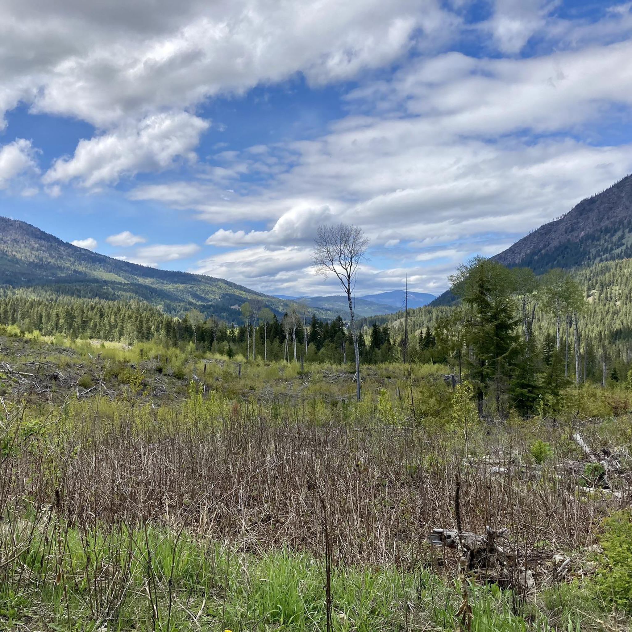
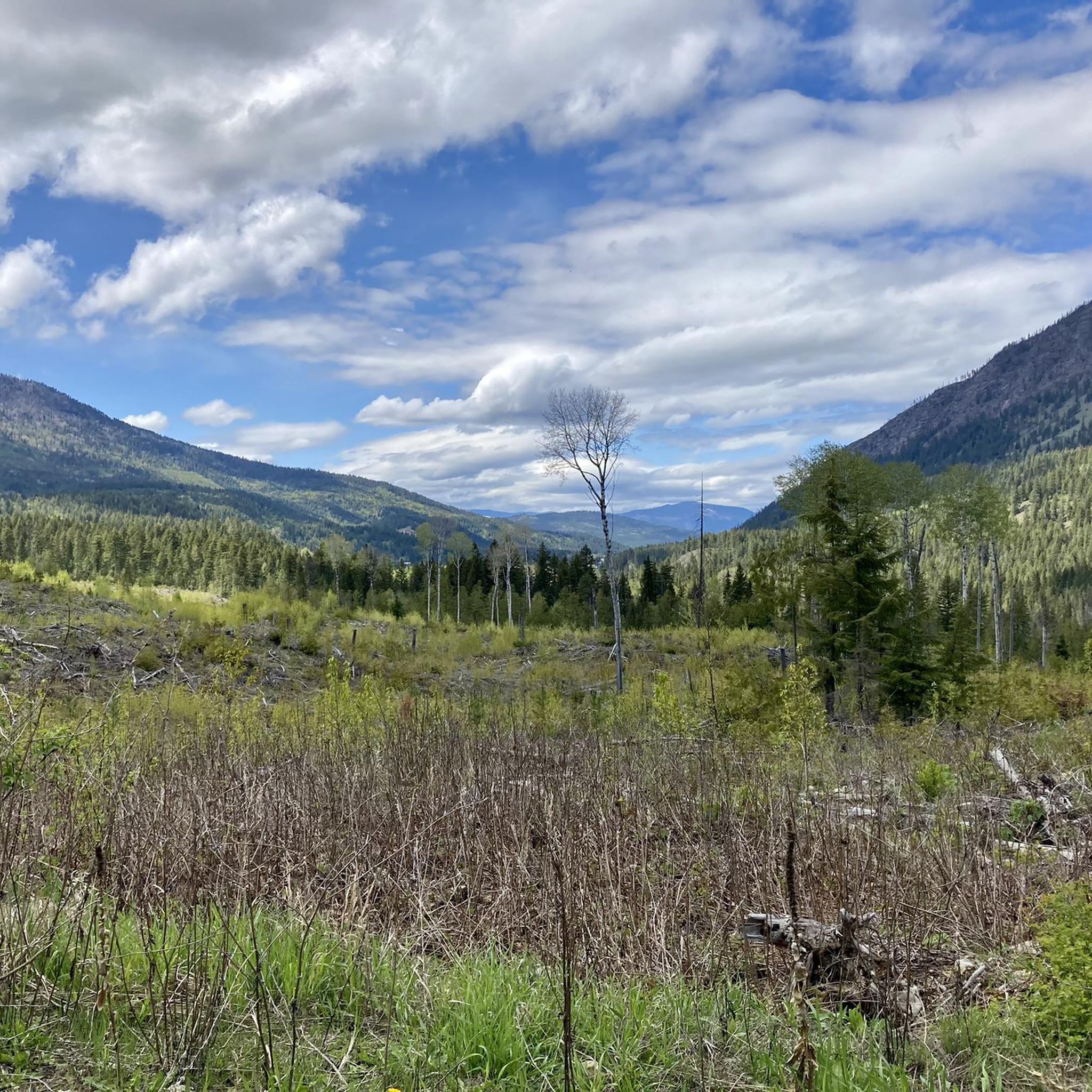
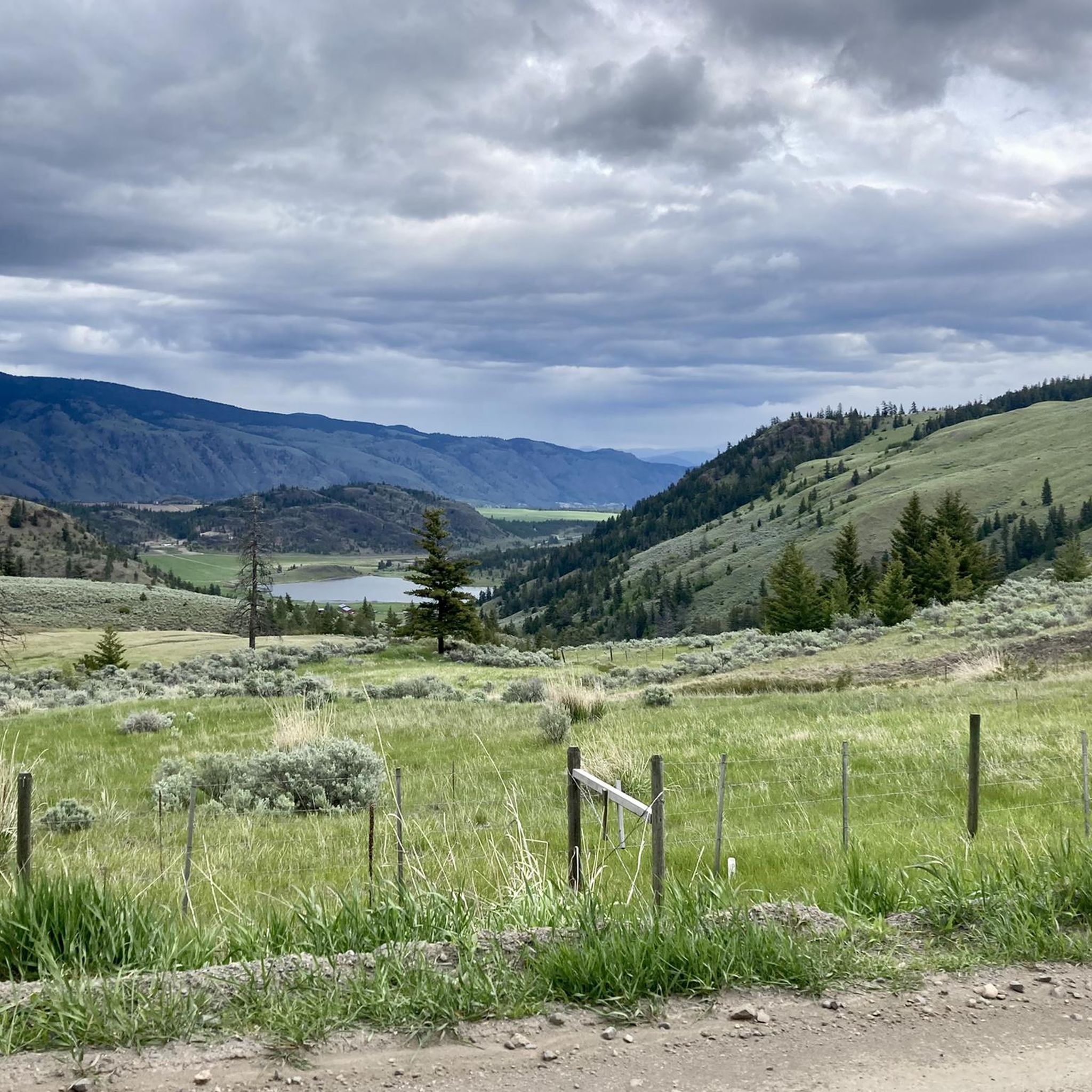
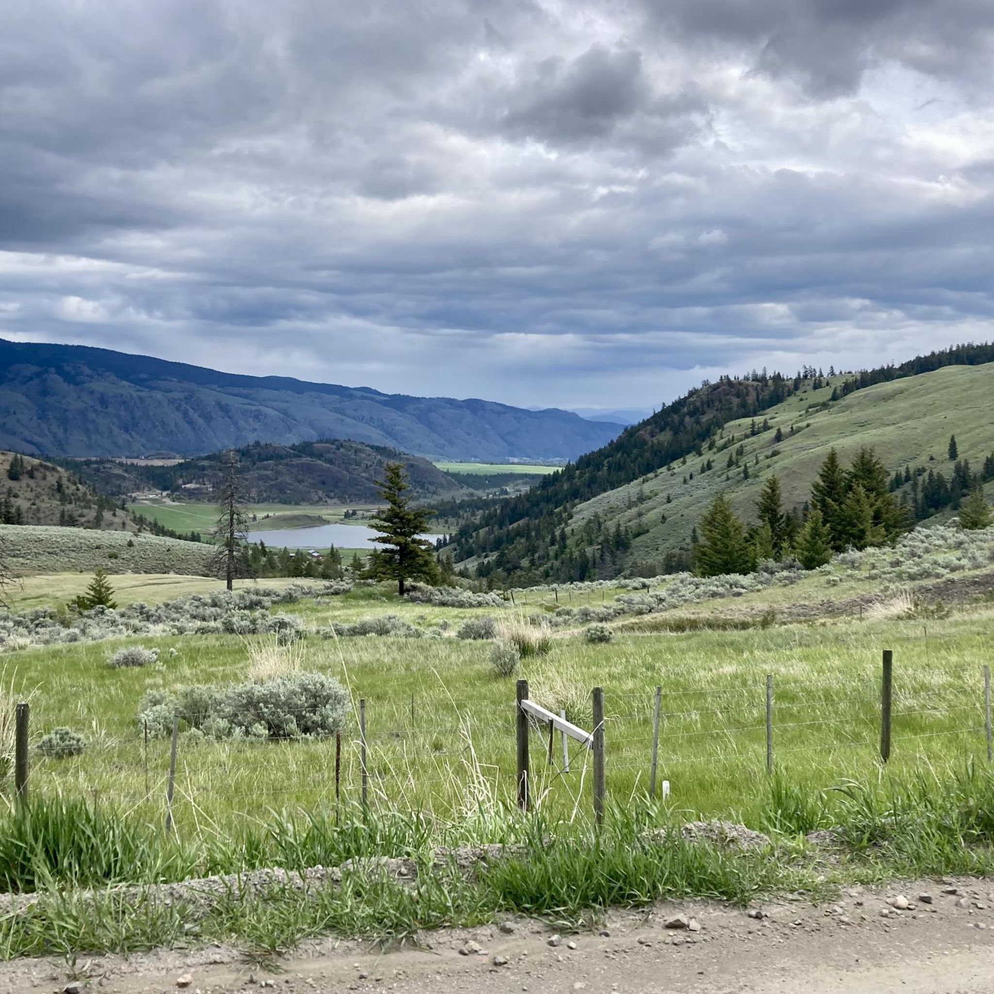
Mountain biking around Area L (Grasslands) offers expansive terrain and open spaces, providing a unique environment for outdoor activities. The region is characterized by its dominant grass cover, which can blend into diverse ecosystems, offering varied landscapes for exploration. Mountain bike routes often wind through these open areas, providing a sense of solitude and panoramic views. The terrain includes both gentle gradients and challenging segments, catering to different skill levels.
Best mountain bike trails around Area L (Grasslands)
- The most…
Last updated: June 29, 2026
33
riders
20.0km
02:04
450m
450m
Moderate mountain bike ride. Good fitness required. Advanced riding skills necessary.
4.0
(1)
33
riders
18.5km
01:55
480m
480m
Hard mountain bike ride. Good fitness required. Advanced riding skills necessary. Some portions of the route may require you to push your bike.

Sign up for free
5.0
(2)
9
riders
6.97km
00:40
120m
120m
Moderate mountain bike ride. Great for any fitness level. Advanced riding skills necessary.
5.0
(2)
9
riders
6.63km
00:38
120m
120m
Moderate mountain bike ride. Great for any fitness level. Advanced riding skills necessary.
5.0
(1)
4
riders
41.5km
03:32
800m
800m
Moderate mountain bike ride. Good fitness required. Advanced riding skills necessary.
Our route recommendations are based on thousands of hikes, rides, and runs completed by other people on komoot.
Start today with a free account
Your next adventure awaits.
Login or Signup

Tips from the Community

The Grasslands loop is a short, easy labeled trail that offers superb views of Kamloops. It was renovated as part of the city's #access4all campaign.
0
0

The Tom Moore Trail is a lovely marked trail that climbs into the hills above Kamloops. It crosses Peterson Creek Nature Park.
0
0


According to the 2021 census, Kamloops has approximately 97,902 residents. The city has experienced steady growth due to its diversified economy and attractive quality of life.
1
0
Kamloops was established as a trading post of the North West Company in 1812. Later, in 1821, it merged with the Hudson's Bay Company. In the 19th century, the arrival of the railway boosted its growth, turning it into an important center of commerce and transportation.
1
0
Its name comes from the Secwepemc word "Tk'emlúps," which means "confluence of waters," referring to the convergence of the North and South Thompson Rivers.
1
0
Frequently Asked Questions
How many mountain bike trails are available in Area L (Grasslands)?
There are 6 mountain bike trails documented in Area L (Grasslands) on komoot. These routes offer a mix of moderate and difficult options for riders.
What are the typical lengths and durations of mountain bike trails in Area L (Grasslands)?
The mountain bike trails in Area L (Grasslands) vary in length and duration. For example, the Fast and Flowy Trail loop from Pineview is 12.0 miles (19.3 km) and typically takes around 2 hours to complete. Shorter options like the Fast and Flowy Trail loop from Pineview Upper Parking are about 4.3 miles (6.9 km) and can be completed in just over 40 minutes.
What is the best time of year for mountain biking in Area L (Grasslands)?
Grassland areas often provide good trail conditions due to quicker drainage after rain, making them accessible for much of the year. The open nature of grasslands means they can be exposed to elements, so spring and autumn might offer the most comfortable temperatures. Always check local weather conditions before heading out.
Are there challenging mountain bike trails for experienced riders in Area L (Grasslands)?
Yes, Area L (Grasslands) offers challenging trails for experienced mountain bikers. For instance, the Python Lake loop from Dufferin is an 11.5-mile (18.4 km) difficult path, exploring diverse landscapes with demanding features. Another difficult option is the Coal Hill loop from Pineview, which is 7.7 miles (12.4 km) and leads through rolling hills and open vistas.
Are there mountain bike trails that are circular routes in Area L (Grasslands)?
Yes, many of the mountain bike trails in Area L (Grasslands) are designed as loops, offering a convenient way to explore the area without retracing your steps. Examples include the Fast and Flowy Trail loop from Pineview, the Python Lake loop from Dufferin, and the Coal Hill loop from Pineview.
Are there family-friendly mountain bike trails in Area L (Grasslands)?
While the current selection of routes includes moderate and difficult trails, the expansive and open nature of grasslands can be ideal for family outings. Look for routes described as 'moderate' which might offer a good balance of engagement without being overly technical. Always check the route details for elevation changes and terrain before setting out with family.
Is parking available at the trailheads in Area L (Grasslands)?
Based on route starting points, it appears that parking is available. For example, some routes begin from 'Pineview Upper Parking', suggesting designated areas for vehicles. It's always a good idea to check specific trailhead information or local signage for parking regulations.
What kind of landscapes and natural features can I expect to see while mountain biking in Area L (Grasslands)?
Mountain biking in Area L (Grasslands) offers expansive vistas and open spaces, characterized by dominant grass cover that can blend into diverse ecosystems. You'll experience sweeping, unobstructed views distinct from forested areas, often winding through rolling hills and bottomlands. The open terrain provides a sense of solitude and immersion in nature.
What wildlife might I encounter on the trails in Area L (Grasslands)?
Grassland ecosystems support a diverse array of plant and animal species. While mountain biking, you might spot smaller wildlife such as ground squirrels, lizards, and various bird species. The open nature of grasslands also provides opportunities to observe larger herbivores if present in the region, though specific sightings depend on the exact location and time of day.
Are there any interesting sights or attractions near the mountain bike trails in Area L (Grasslands)?
Yes, there are several interesting sights near the mountain bike trails. You could visit Riverside Park Beach, explore the wild shrubs along the trail, or enjoy the View of the Thompson River from Mount Paul Way Bridge. For a natural wonder, check out Syphon Falls, or follow the unique Story Trail.
What do other mountain bikers enjoy the most about mountain biking in Area L (Grasslands)?
The mountain bike trails in Area L (Grasslands) are highly rated by the komoot community, with an average score of 4.7 stars from 5 reviews. Riders often praise the expansive vistas, open spaces, and diverse ecosystems that define the region, offering a unique and immersive outdoor experience.
Most popular attractions around Area L (Grasslands)

Get inspired with the komoot mobile app


Explore more
Browse the best MTB trails in other regions.
