Top 6 Gorges around Oreilla
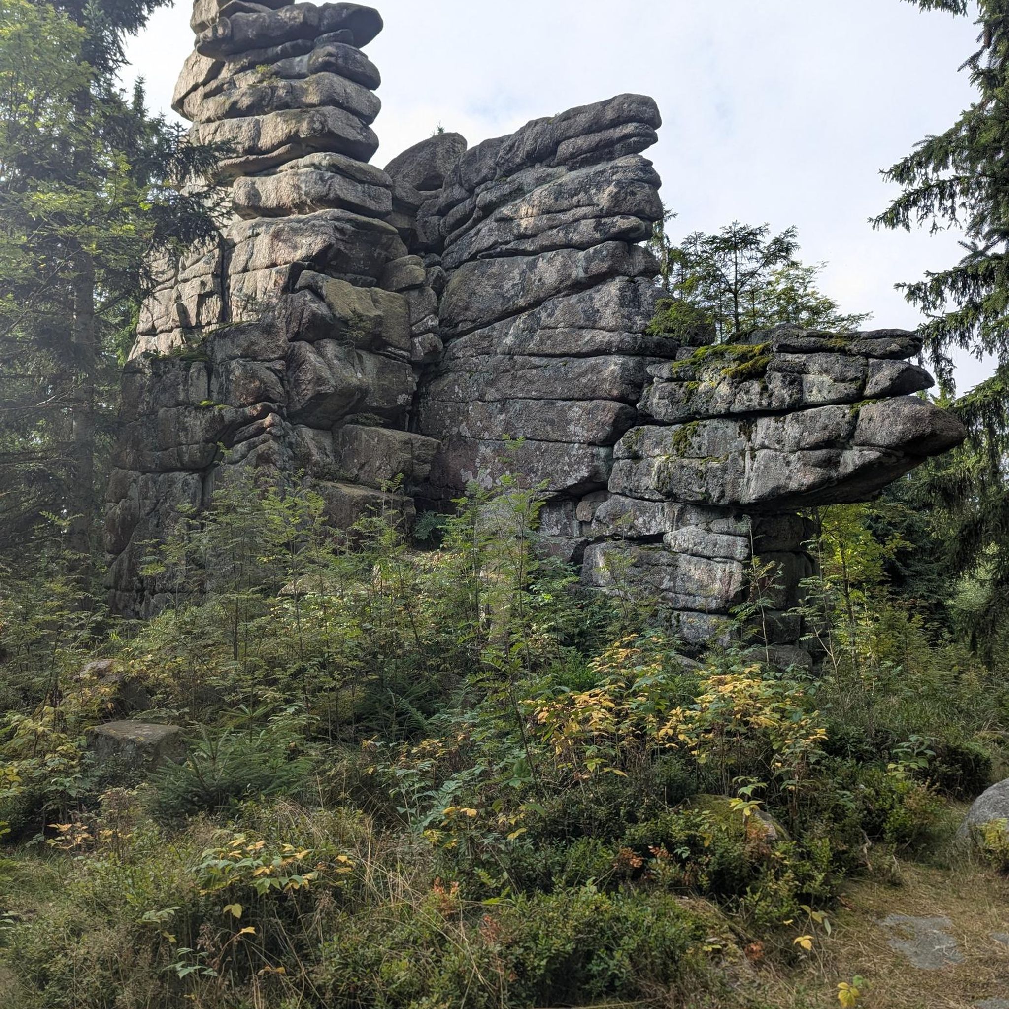
Best canyons around Oreilla feature deep gorges and dramatic rock formations, characteristic of mountainous regions like the Pyrénées-Orientales. This area is known for its challenging trails and unique natural features, offering diverse opportunities for exploration. The landscape is shaped by impressive cliffs and narrow passages, providing a distinct environment for outdoor activities.
Best canyons around Oreilla
- The most popular canyons is Carança Corniche, a gorge that features dizzying and spectacular passages. It is known for its challenging trails along…
Last updated: October 14, 2026
Carança Corniche
Highlight • Gorge
Translated by Google •
Tip by

The Footbridges of the Carançà Gorge
Highlight • Gorge
Translated by Google •
Tip by

Sign up now to discover places like this
Get recommendations on the best single tracks, peaks, & plenty of other exciting outdoor places.
Chemin de la Corniche
Highlight (Segment) • Trail
Translated by Google •
Tip by

Roc de la Foradada
Highlight • Natural Monument
Showing Translation
Tip by

Knickpoint of the Têt
Highlight • Natural Monument
Translated by Google •
Tip by

Sign up for free to discover even more gorges around Oreilla.
Already have an account?
Start today with a free account
Your next adventure awaits.
Tips from the Community

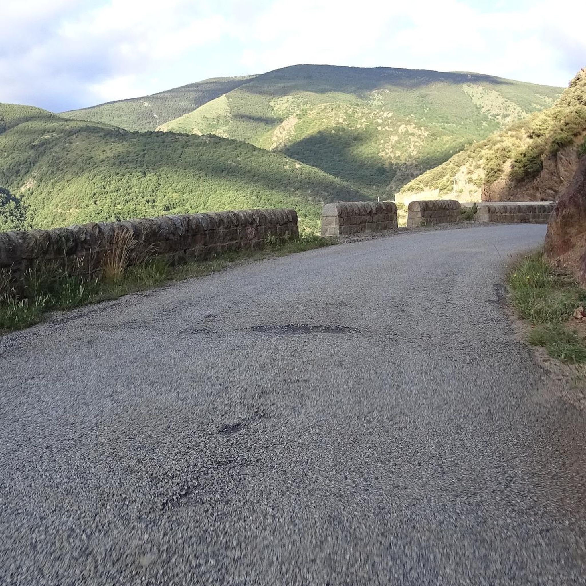
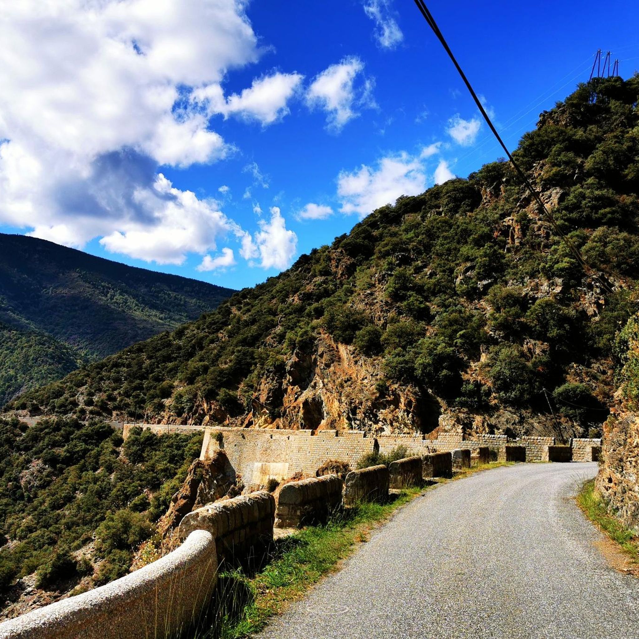
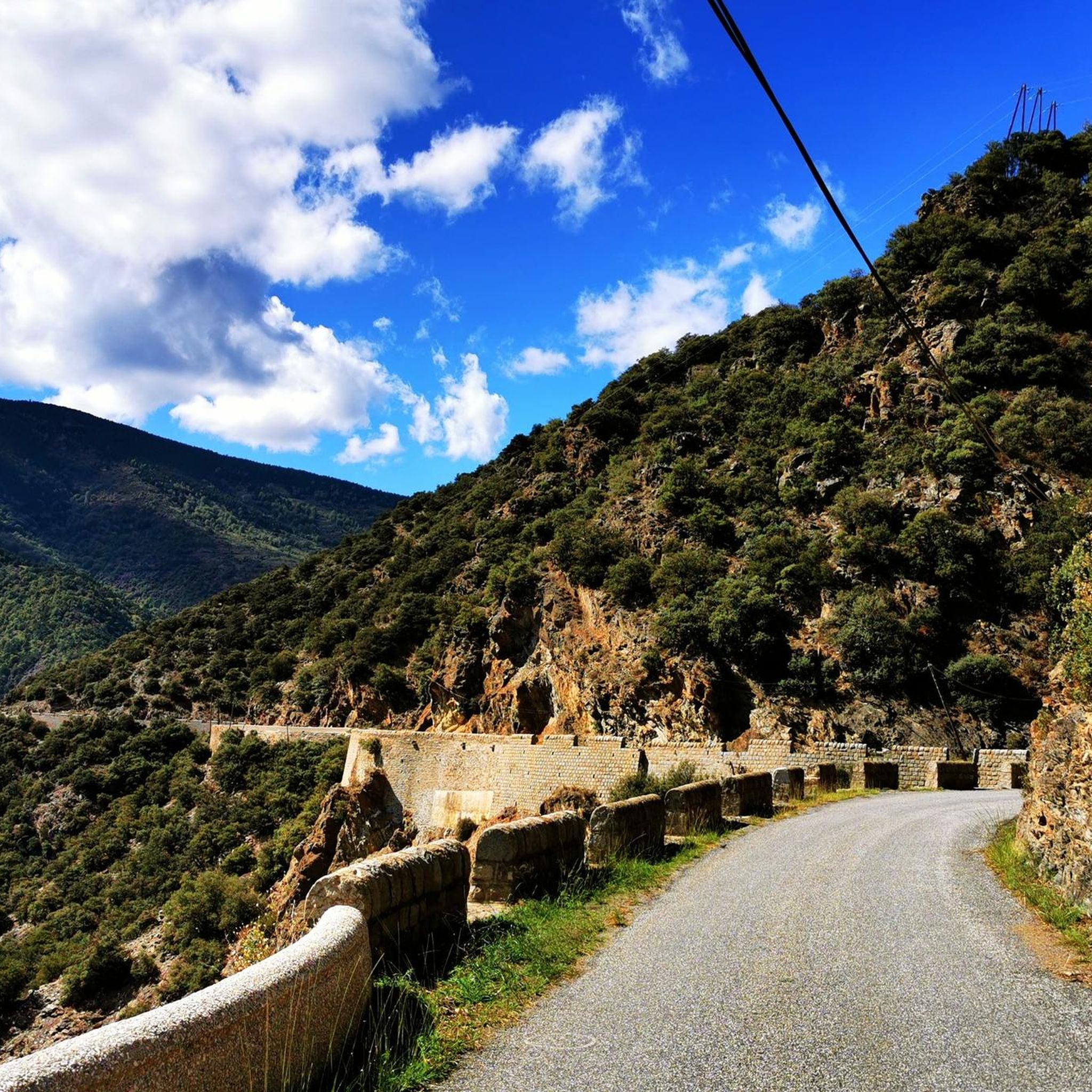
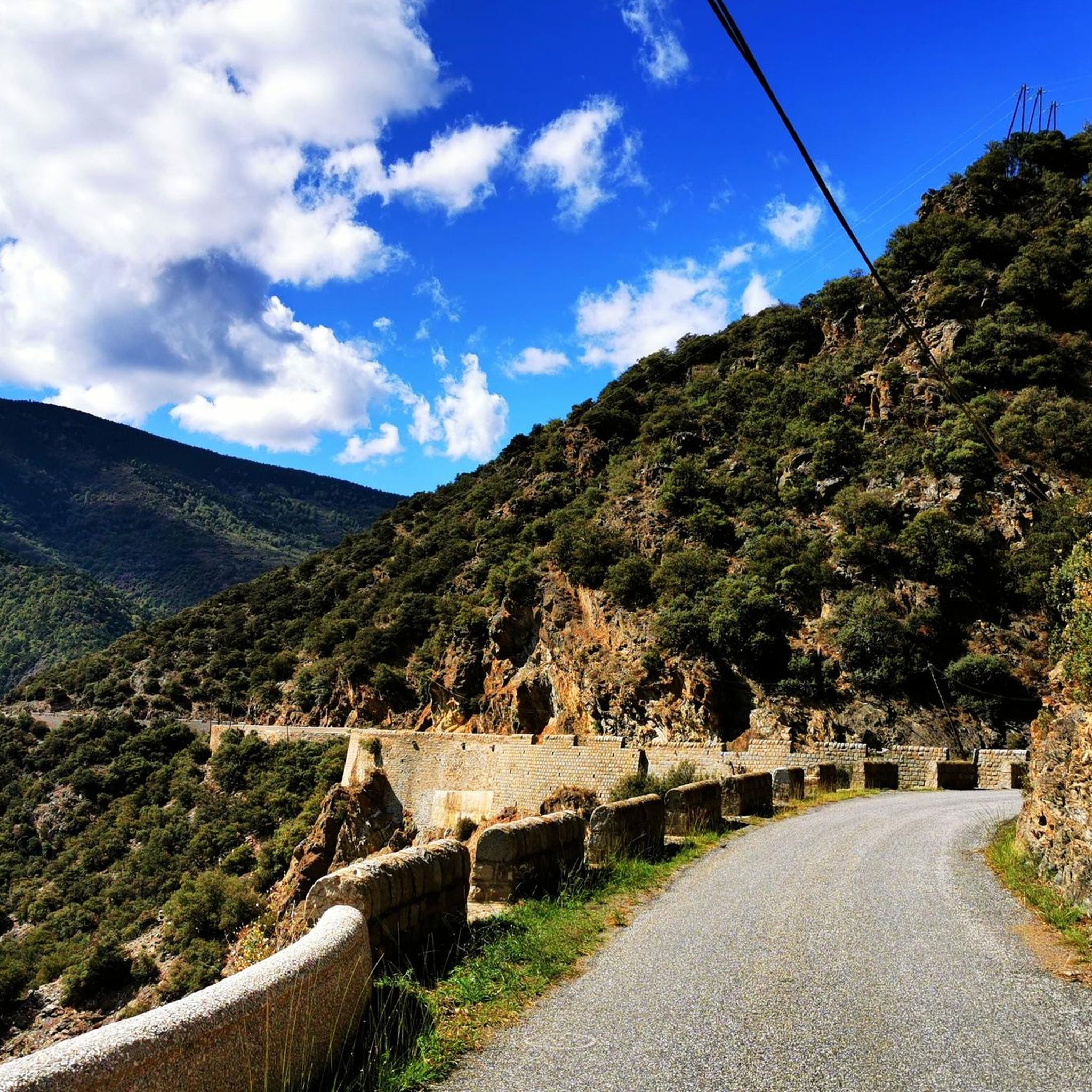
It is a path carved into the rock, hence its name. If you have a bit of courage, you will enjoy an exciting adventure walking through here.
1
0

Take your time and respect the two-person-at-a-time rule.
0
0

Beautiful point to look around and let each other pass
15
0

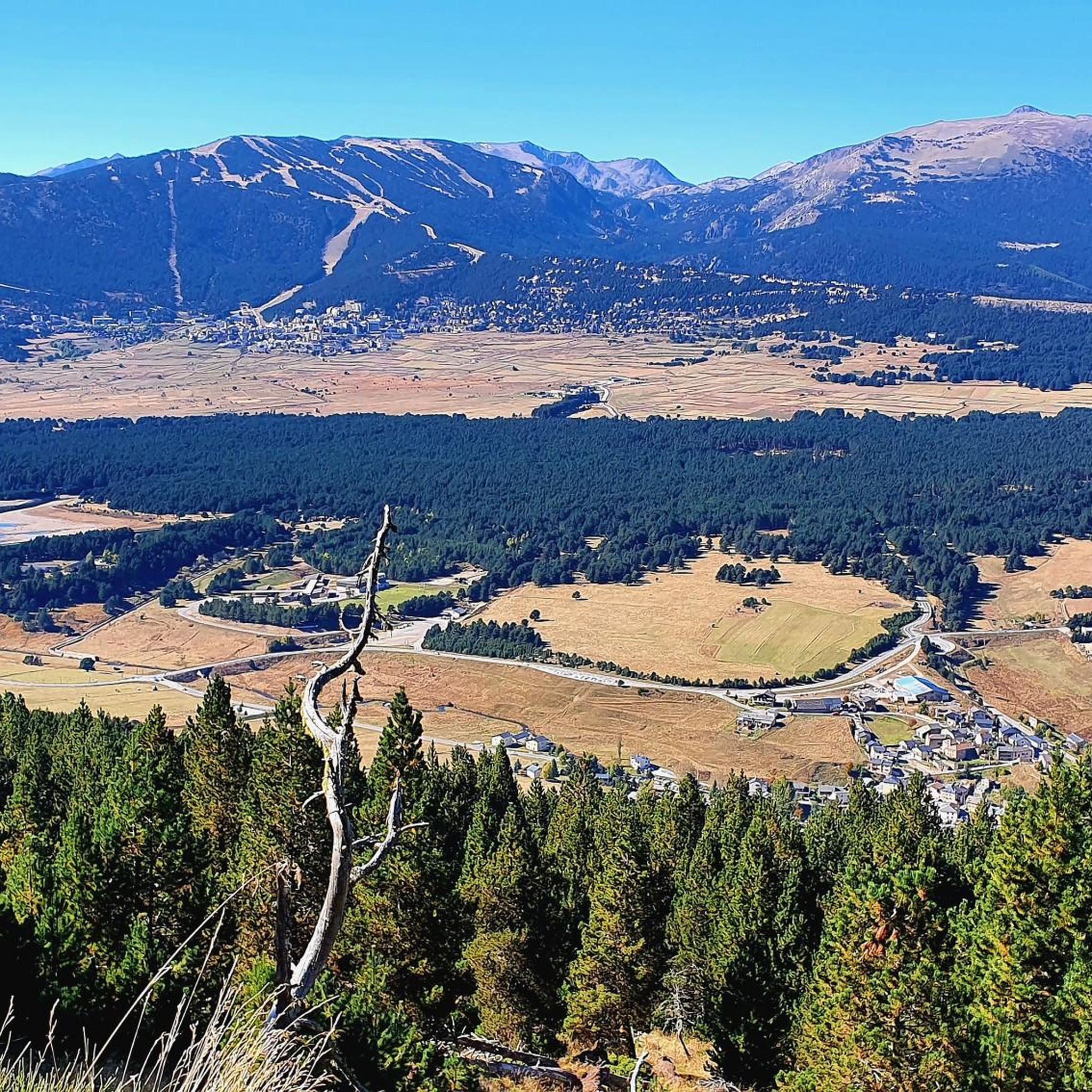
Going up the village to the antennas allows you to have a breathtaking view of the upper Têt valley. The eastern end of the Perche plateau, which carries Mont-Louis, La Cabanasse, Saint-Pierre and Planès, is dissected by the Têt and its tributaries. The landscape changes radically in a few hundred meters, the valley steepening by 500m. This topographic break point in the profile of a watercourse is called a *knick point*. It marks the place where regressive erosion has reached today following the global uplift that the region has been undergoing for around 10 Ma.
2
0
The path leaving the village offers a last view of the Cerdan landscape and the Perche plateau before heading towards the mountainous landscapes of the Orri valley. This final glance is an opportunity to visualize the layout of the three generations of flattening: the Carlit and Campcardos plateaus, the Carlit ponds and the Perche and Quillane plateaus. We can also see the imprint that the ice has left on the landscape. The tongue of ice which descended the Têt valley barely 25,000 years ago tore up, transported and deposited approximately 50 m of blocks which today form the magnificent frontal moraine of Mont-Louis and which is highlighted by the forest.
1
0
Beautiful point, but watch your head because of the rock points and where you put your feet. Here you can easily pass each other
20
0
Breathtaking gorge, great parking 5 euros, just follow komoot for the most beautiful route, fear of heights? Do not look into the depths, but especially where you put your feet. If you are Dutch tall, then also pay attention to the rocky points at head height. What a great trip😀
22
0

When the path joins the river and next to a small dam, we connect with the path that comes from the ledge. Here begins the most exciting part of the excursion! Ahead of us are ten bridges, numbered in yellow paint, as well as walkways built with metal panels from which we see the river slide between the rocks beneath our feet. All steps are aerial but well secured with cables and railings. Of course: we have to pay special attention if we go with children. This area, in addition to being a real adventure, is ideal for contemplating the small waterfalls from the front row and listening to the murmurs of the river. Here you can enjoy the grandeur of an overflowing nature… After the bridge marked with a 10, the path widens and we pass over a small stone bridge that crosses the Roig stream, a tributary of the Tet river. We pass a stone hut without a roof and arrive at the last footbridge, located at a point where the river is enclosed by a rock wall. At this point, most walkers turn around and those who continue do so thinking of reaching the refuge of the Ras de Carançà, still far away. The last time I did this stretch (see excursion: https://www.komoot.com/es-es/tour/994475321/ ) it was just the other way around, coming from the refuge of Ras de Carançà.
1
0
Frequently Asked Questions
What kind of natural features can I expect to see in the canyons around Oreilla?
The canyons around Oreilla, located in the Pyrénées-Orientales, are characterized by deep gorges, dramatic rock formations, and impressive cliffs. You'll encounter unique geological features shaped by the mountainous terrain, offering spectacular views and challenging passages. Highlights like Carança Corniche and Chemin de la Corniche showcase these narrow paths dug into the rock, providing a distinct environment for exploration.
Are there challenging trails for experienced hikers in the Oreilla canyons?
Yes, the Oreilla region is known for its challenging trails. For instance, Carança Corniche features dizzying and spectacular passages along cliff sides, requiring attention, especially for those with vertigo. Similarly, The Footbridges of the Carançà Gorge offers an adventurous section with bridges, ladders, and a suspension bridge, making it an exciting experience for those seeking a thrill.
What do visitors particularly enjoy about the canyons near Oreilla?
Visitors frequently praise the breathtaking and spectacular nature of the gorges. Many highlight the adventurous sections, such as the bridges and ladders at The Footbridges of the Carançà Gorge, and the unique experience of walking along paths carved into the rock, like the Chemin de la Corniche. The stunning views of the Tet valley and surrounding peaks are also a major draw.
Are there any specific safety considerations for exploring the canyons?
Yes, several passages in the Oreilla canyons are described as dizzying and spectacular, particularly along the Corniche de Carança. Visitors are advised to watch their footing and be mindful of rocky points at head height, especially if tall. While paths like the Chemin de la Corniche have safety cables, it's always recommended to stop to admire views rather than walking while looking into the depths, to avoid potential trips.
What other outdoor activities can I do near the canyons around Oreilla?
Beyond canyon exploration, the Oreilla region offers diverse outdoor activities. You can find numerous routes for gravel biking, mountain biking, and road cycling. For example, there are challenging gravel biking routes like the 'Col de la Creu – Lake Matemale loop' and various MTB trails including the 'Matemale – Col de la Creu loop'. Road cyclists can enjoy routes such as the 'Coll de la Llose and Lake Matemale Loop'. You can find more details on these activities in our guides for Gravel biking around Oreilla, MTB Trails around Oreilla, and Road Cycling Routes around Oreilla.
Is it possible to visit the canyons with children or if I have vertigo?
Some sections of the canyons, such as Carança Corniche and Section of rock path at el Fornàs, are described as dizzying and spectacular, with warnings for those with vertigo or with children. While some paths are wide enough and have safety cables, it's important to assess the difficulty and your comfort level. For a less intense experience, you might consider shorter sections or trails with fewer exposed passages.
Are there any natural monuments or unique rock formations to see?
Yes, the region boasts natural monuments and unique rock formations. Roc de la Foradada is a notable natural monument featuring a narrow passage cut into the rock, which is quite impressive. The entire area is characterized by gorges, cliffs, and natural monuments, offering a variety of scenic viewpoints.
What is the best season for canyoning or hiking in the Pyrénées-Orientales near Oreilla?
While specific seasonal advice for canyoning isn't provided in the guide data, mountainous regions like the Pyrénées-Orientales generally offer the best conditions for hiking and canyoning during late spring, summer, and early autumn. During these months, the weather is typically more stable, and water levels in gorges are usually suitable for activities. Always check local conditions and forecasts before planning your trip.
Are there any historical or cultural points of interest near the canyons?
The guide primarily focuses on the natural features and trails of the canyons. However, the Chemin de la Corniche offers views of Thuès and its church of Sant Genís, and the path itself is believed to have been built to access a hydroelectric plant. While not the main focus, these elements hint at the region's history and infrastructure integrated with its natural landscape.
What kind of infrastructure, like parking or public transport, is available for accessing the canyons?
For popular spots like Carança Corniche, parking is available, with some visitors mentioning a fee (e.g., 5 euros). While the guide doesn't detail public transport options, access to such natural sites in mountainous regions often requires personal vehicles or local shuttle services. It's advisable to research specific access points for each highlight.
Can I find less crowded or hidden gem canyons near Oreilla?
The guide highlights popular and well-known gorges such as Carança Corniche and The Footbridges of the Carançà Gorge. While these are highly appreciated by the komoot community, exploring less-trafficked trails or visiting during off-peak hours might offer a more secluded experience. The region's extensive network of trails means there are always opportunities to discover quieter spots.
Most popular routes around Oreilla
Most popular attractions around Oreilla

Get inspired with the komoot mobile app


Explore more
Already discovered everything in this region? See additional gorges around Oreilla for your next adventure:
