The best running trails around Villanueva Del Trabuco
2.7
(4)
229
runners
36
runs
Jogging around Villanueva Del Trabuco offers a diverse landscape for runners, characterized by its mountainous terrain, including the Sierra de San Jorge, and forested areas like the Forest of Las Morillas. The region features varied elevations and natural gorges, providing a range of running experiences. There are 36 running routes available, catering to different fitness levels.
Best jogging routes around Villanueva Del Trabuco
- The most popular jogging route is Sierra de San Jorge Trail (PR-A 353), an 8.1 miles…
Last updated: October 10, 2026
3
runners
13.0km
01:45
660m
660m
This difficult 8.1-mile (13.0 km) route in Sierra de San Jorge offers rugged terrain, karstic landscapes, and panoramic views.
1
runners
5.82km
00:43
210m
210m
Moderate run. Good fitness required. Mostly accessible paths. Some sure footedness required.

35
runners
29.8km
05:01
1,960m
1,960m
Hard run. Very good fitness required. Sure-footedness, sturdy shoes and alpine experience required.
2
runners
15.1km
02:08
710m
710m
Hard run. Very good fitness required. Sure-footedness, sturdy shoes and alpine experience required.
11
runners
9.52km
01:05
160m
160m
Moderate run. Good fitness required. Mostly paved surfaces. Suitable for all skill levels.
Get access to more routes and recommendations from other explorers.
Already have an account?
Our route recommendations are based on thousands of hikes, rides, and runs completed by other people on komoot.
Start today with a free account
Your next adventure awaits.
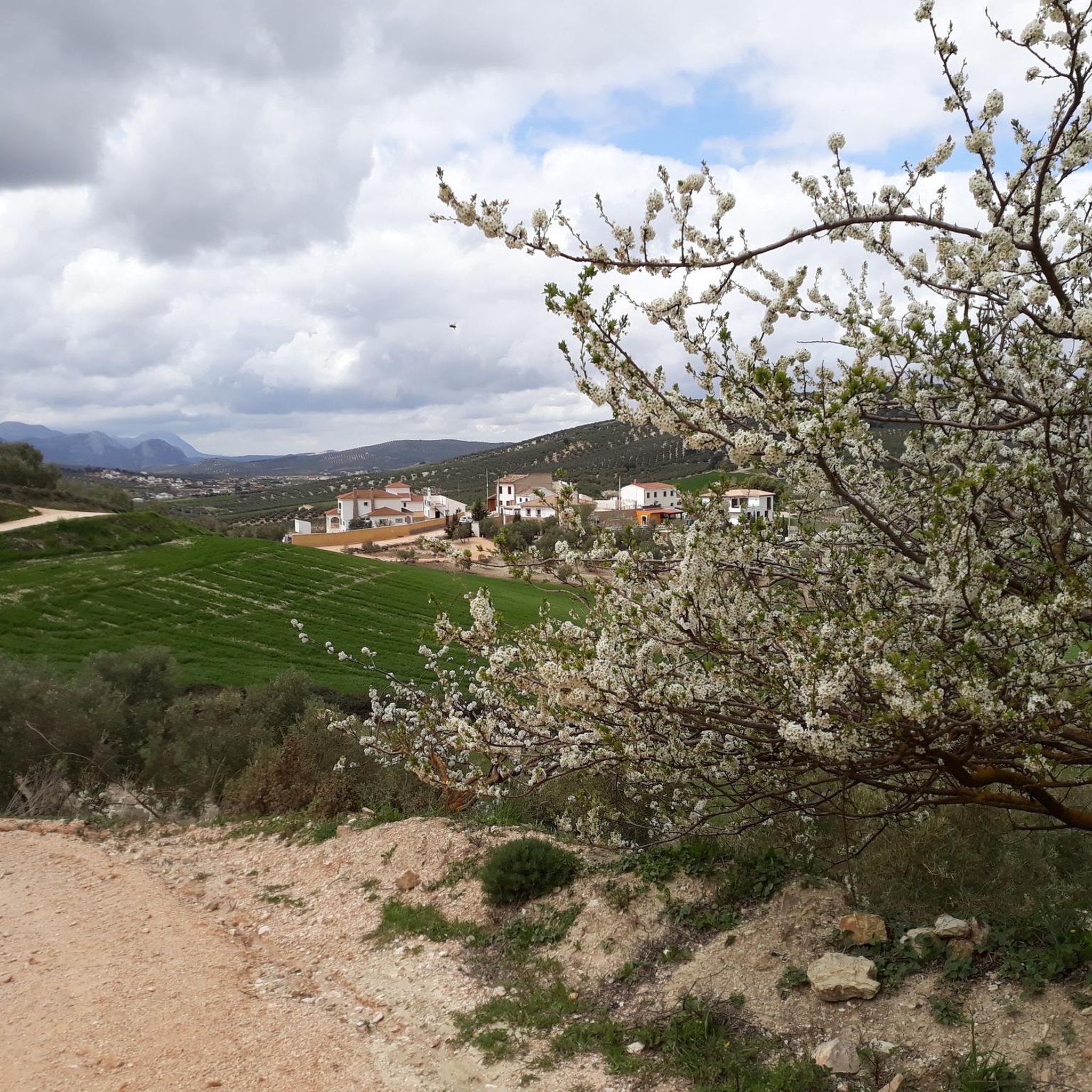
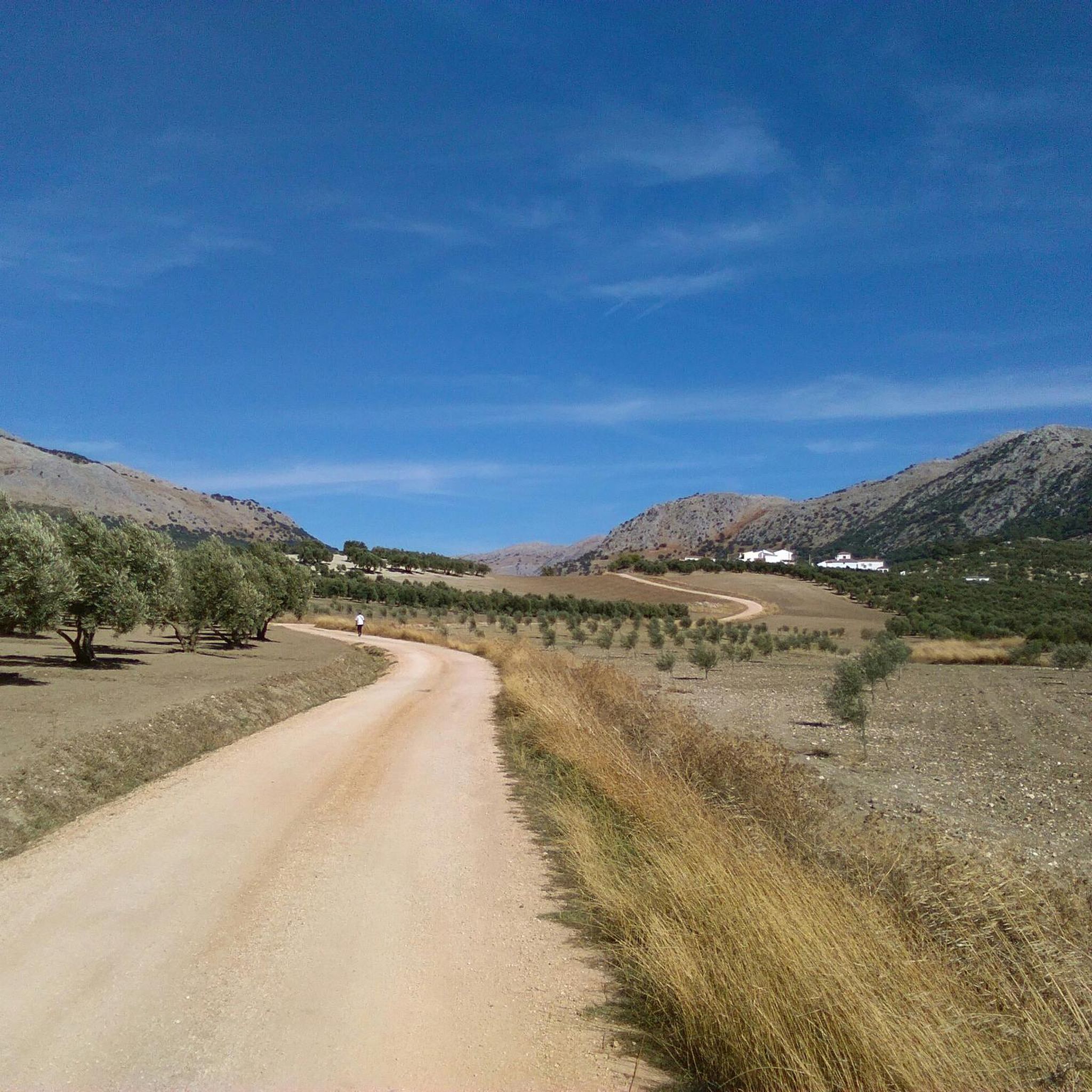
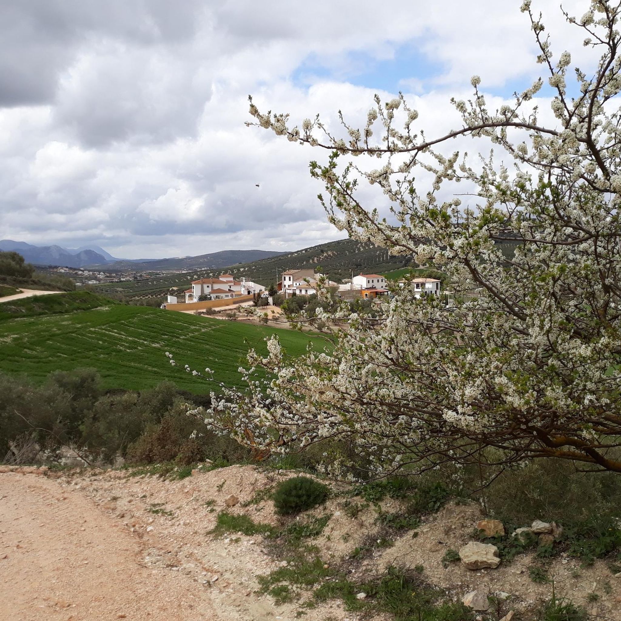
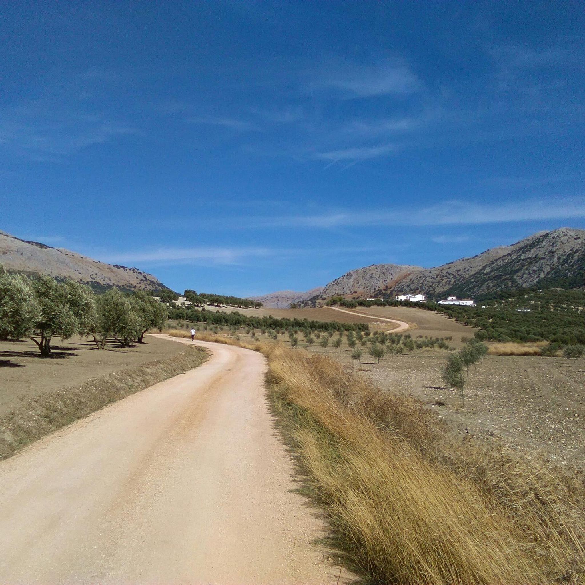

Tips from the Community

I was there mid november and the fountain was empty...
0
1

A colorful route with many beautiful areas. The 101 channels are truly breathtaking with so much water. The Rosario River is full of beauty with those spectacular waterfalls.
1
1

The lagoon is located in a large sinkhole, a karstic depression that acts as a rainwater collector. The lagoon can be reached via the Sierra de San Jorge Trail PR-A 353, which starts from the Fuente de los Cien Caños.
5
0
The Fuente de los Cien Caños is an impressive natural monument located in Villanueva del Trabuco, on the limestone slope of the Sierra de San Jorge. The fountain is known for being the source of the Guadalhorce River, the longest and most voluminous river in the province of Malaga.
5
0


Within the Bosque de Las Morillas is this curious rock formation with some caves that make it even more striking to look at.
1
0
From Cerro Olmedo there are beautiful views of the Vilo peak and the landscape that surrounds it. The circular route through the Bosque de las Morillas is an entertaining itinerary without difficulty.
1
0
Located on the plateau of the homonymous mountain range, the lagoon is a beautiful place to take a break and enjoy this beautiful landscape. Outside of the rainy season you may find it quite dry.
1
1
Frequently Asked Questions
How many running routes are available in Villanueva Del Trabuco?
Villanueva Del Trabuco offers a wide selection of running routes, with over 35 trails to explore. These routes cater to various fitness levels, ranging from moderate to challenging.
Are there challenging running trails in Villanueva Del Trabuco?
Yes, Villanueva Del Trabuco is known for its challenging terrain. You'll find 20 difficult running routes, often featuring significant elevation changes through mountainous areas like the Sierra de San Jorge. An example is the Sierra de San Jorge Trail (PR-A 353), which includes demanding ascents.
What kind of terrain can I expect on running routes around Villanueva Del Trabuco?
The region's running routes are characterized by diverse terrain, including mountainous paths, forested areas like the Forest of Las Morillas, and impressive natural gorges. You'll encounter varied elevations, providing a dynamic experience for runners.
Are there any long-distance running trails in the area?
For those seeking longer runs, Villanueva Del Trabuco offers several extended options. The Impressive Gorge loop from Villanueva del Rosario is a notable example, covering nearly 18.5 miles (29.8 km) and typically taking around 5 hours to complete.
What do other runners say about the trails in Villanueva Del Trabuco?
The running routes in Villanueva Del Trabuco are highly regarded by the komoot community, holding an average rating of 3.3 stars from more than 5 reviews. Over 250 runners have used komoot to explore the varied and scenic terrain here.
Are there any circular running routes available?
Yes, many routes in the area are circular, offering convenient starting and ending points. A popular option is the Forest of Las Morillas – circular from Alfarnate (PR-A 268), which winds through a beautiful forest landscape.
What are some good running routes for beginners or those looking for a moderate challenge?
While many routes are challenging, there are 16 moderate running routes available. The Forest of Las Morillas – circular from Alfarnate (PR-A 268) is a moderate 3.6-mile path, perfect for those seeking a less strenuous but still scenic run.
What natural attractions can I see near the running routes?
The region boasts several natural attractions that can be explored. You might encounter highlights such as the Hundred‑Spout Fountain, the Baños de Vilo Hot Springs, or the expansive Zafarraya Plain. The Río Frío Springs also offer a beautiful natural sight.
Are there any specific viewpoints or landmarks along the trails?
Yes, runners can enjoy various viewpoints and landmarks. The View of the Gomer and Doña Ana cliffs provides stunning vistas. Additionally, mountain passes like Puerto del Sol (1085 m) and Puerto de Sábar are notable points of interest.
What is the best time of year for running in Villanueva Del Trabuco?
Given its mountainous terrain and Mediterranean climate, spring and autumn generally offer the most comfortable conditions for running in Villanueva Del Trabuco, with milder temperatures. Summer can be quite warm, especially at midday, so early morning or late evening runs are advisable during those months.
Is there a running route that explores the Peñón de los Becerros area?
Yes, you can explore the Peñón de los Becerros area with a dedicated running route. The Peñón de los Becerros loop from Villanueva del Rosario is a challenging 11.3-mile (18.2 km) trail that takes you through this scenic part of the region.
Are there any shorter, moderate running loops available?
For a shorter, moderate option, consider the Running loop from Repsol. This route covers about 5.9 miles (9.5 km) and offers a moderate challenge, making it suitable for a quicker run.
Most popular routes around Villanueva Del Trabuco
Most popular attractions around Villanueva Del Trabuco

Get inspired with the komoot mobile app


Explore more
Browse the best Running Trails & Routes in other regions.
