The best walks and hikes around Pajares De Adaja
4.7
(12)
20
hikers
11
hikes
Hiking around Pajares De Adaja offers routes through a predominantly flat, rural landscape characterized by open fields and agricultural areas. The terrain features minimal elevation changes, making it suitable for accessible hiking routes. Paths often connect small villages and follow local tracks, providing a tranquil outdoor experience.
Best hiking trails around Pajares De Adaja
- The most popular hiking route is From Tiñosillos to El Bohodón — circular by the Camino de El Chorrillo, a 4.2 miles (6.8 km) trail…
Last updated: July 7, 2026
Moderate hike. Great for any fitness level. Mostly accessible paths. Sure-footedness required.
4.2
(6)
2
hikers
9.78km
02:30
30m
30m
Moderate hike. Good fitness required. Easily-accessible paths. Suitable for all skill levels.

Sign up for free
4.5
(2)
2
hikers
9.35km
02:23
30m
30m
Moderate hike. Good fitness required. Easily-accessible paths. Suitable for all skill levels.
2
hikers
4.56km
01:09
10m
10m
Easy hike. Great for any fitness level. Easily-accessible paths. Suitable for all skill levels.
5.0
(2)
2
hikers
14.8km
03:46
40m
40m
Moderate hike. Good fitness required. Easily-accessible paths. Suitable for all skill levels.
Get access to more routes and recommendations from other explorers.
Sign up for free
Already have an account?
Our route recommendations are based on thousands of hikes, rides, and runs completed by other people on komoot.
Start today with a free account
Your next adventure awaits.
Login or Signup


Tips from the Community

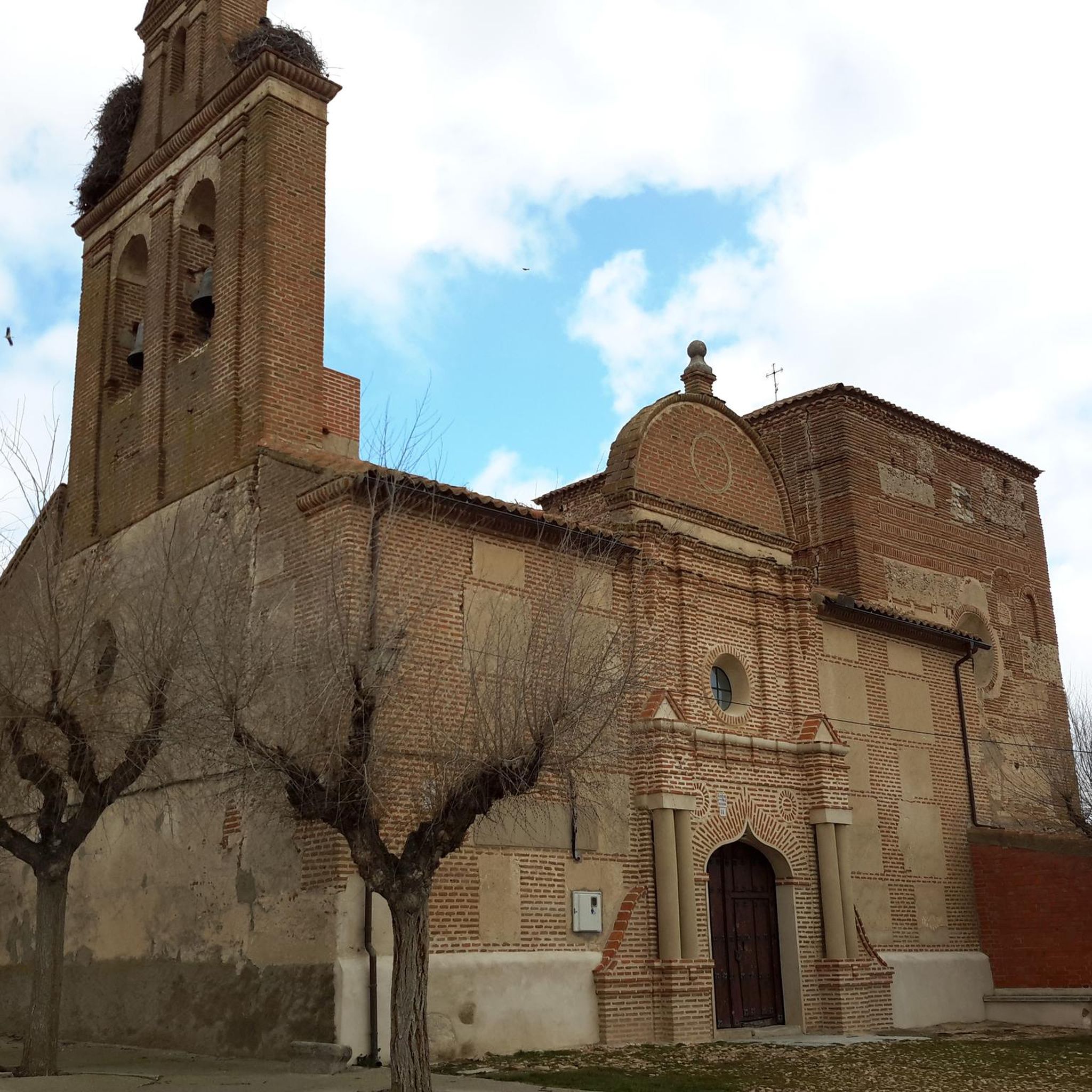
Notable building of the place
0
0

El Bohodón is a municipality in Spain belonging to the province of Ávila, in the autonomous community of Castilla y León. It is located in the La Moraña region, in the north of the province. It is located 35 kilometers from the capital and 17 kilometers from Arévalo.
5
0

Here you will find the ruins of the Convent of San Bernardo. Most of the buildings are destroyed, but some walls still remain. There are several trails that lead here and most are good for mountain biking.
0
1

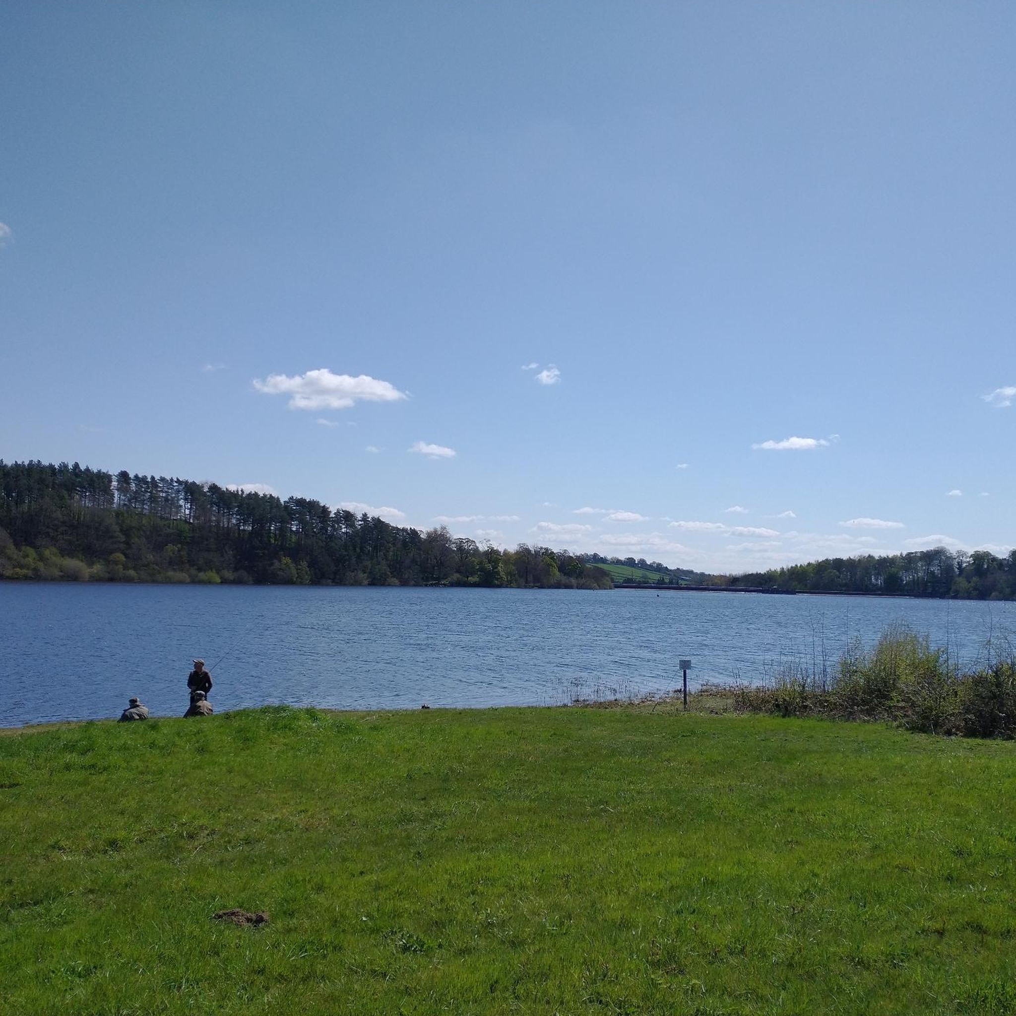
Small population where two rivers bathe the lands of the municipality, to the east the Adaja river and to the west the Arevalillo river, a tributary of the previous one.
1
0
Population that is located at the gates of what is called Campo de Pajares on its eastern side. Pine forests that occupy a large area.
1
0
Frequently Asked Questions
Are there easy hiking trails in Pajares De Adaja?
Yes, Pajares De Adaja offers several easy hiking trails. The region's predominantly flat terrain and minimal elevation changes make many routes suitable for a relaxed walk. For example, the Lavajo de San Antón loop from Adanero is an easy 2.8-mile (4.5 km) trail through agricultural fields.
What are the typical lengths of hiking trails in Pajares De Adaja?
Hiking trails in Pajares De Adaja vary in length, generally ranging from shorter walks of around 2.8 miles (4.5 km) to longer routes up to 9.2 miles (14.8 km). Most trails are moderate in length, offering a good balance for various fitness levels.
Is parking available near the hiking trails in Pajares De Adaja?
Given the rural nature of Pajares De Adaja and its surrounding villages, parking is generally available in or near the starting points of most trails. These are typically small village centers or designated areas for local access.
Can I reach hiking trails in Pajares De Adaja using public transport?
Public transport options to reach specific trailheads in Pajares De Adaja may be limited. It is advisable to check local bus schedules for connections between larger towns and the smaller villages that serve as common starting points for hikes. Driving is often the most flexible option.
Are there family-friendly hiking options in Pajares De Adaja?
Absolutely. The flat and gentle terrain of Pajares De Adaja makes it ideal for family-friendly hikes. Routes like the From Tiñosillos to El Bohodón — circular by the Camino de El Chorrillo are relatively short and easy, perfect for families with children.
Are dogs allowed on the hiking trails in Pajares De Adaja?
Generally, dogs are welcome on hiking trails in Pajares De Adaja, especially given the rural and open nature of the landscape. However, it's always recommended to keep dogs on a leash, particularly when passing through agricultural areas or near livestock, and to clean up after them.
Are there accessible hiking routes for all abilities?
Yes, the terrain around Pajares De Adaja is predominantly flat with minimal elevation changes, making many of its paths suitable for accessible hiking. These routes often follow local tracks and connect villages, providing a smooth surface for various abilities.
When is the best time of year to hike in Pajares De Adaja?
The best time to hike in Pajares De Adaja is typically during spring (April to June) and autumn (September to October). During these seasons, the weather is mild and pleasant, and the landscape offers beautiful colors. Summer can be very hot, and winter can be chilly, though hiking is possible year-round.
Is winter hiking possible in Pajares De Adaja?
Winter hiking is possible in Pajares De Adaja, though temperatures can be cold. The flat terrain means snow accumulation is generally manageable, but it's essential to dress warmly and check local weather conditions before heading out. The quiet, open fields can offer a unique winter experience.
Can I find hikes with scenic views in Pajares De Adaja?
While Pajares De Adaja is characterized by a flat, rural landscape, hikes here offer scenic views of expansive open fields, agricultural areas, and the charming small villages that dot the region. The beauty lies in the tranquil, pastoral scenery and wide-open skies.
Are there circular hiking routes available?
Yes, many of the hiking routes in Pajares De Adaja are circular, allowing you to start and end your journey in the same location. Examples include the popular El Bohodón loop from Villanueva de Gómez and the Hiking loop from Villanueva de Gómez.
What can I see along the hiking trails in Pajares De Adaja?
Along the hiking trails in Pajares De Adaja, you can explore charming local settlements like El Bohodón and Vega de Santa Maria. You might also encounter historical structures such as the Church of San Pedro Apóstol or local bridges, offering glimpses into the region's heritage.
What do other hikers enjoy the most about hiking in Pajares De Adaja?
The area is highly rated by the komoot community, with an average score of 4.6 stars. Reviewers often praise the tranquil outdoor experience, the ease of the flat paths connecting small villages, and the peaceful rural landscapes characterized by open fields and agricultural areas.
Most popular attractions around Pajares De Adaja

Get inspired with the komoot mobile app


Explore more
Browse the best Hikes in other regions.
