The best running trails around Gobernador
28
runners
5
runs
Jogging around Gobernador offers routes through varied landscapes, characterized by hilly terrain and natural features. The region provides opportunities for runners to experience different elevations and scenic views. With several routes available, the area caters to those seeking both moderate and more challenging running experiences.
Best jogging routes around Gobernador
- The most popular jogging route is Balsa de repelón – Mirador de la Escalerilla loop from Pedro Martínez, a 9.7 miles (15.6 km) trail that takes 1 hour 53…
Last updated: August 16, 2026
11
runners
15.6km
01:53
220m
230m
Hard run. Very good fitness required. Mostly paved surfaces. Suitable for all skill levels.
8
runners
18.7km
02:08
270m
270m
Hard run. Very good fitness required. Mostly paved surfaces. Suitable for all skill levels.

Sign up for free
6
runners
13.1km
01:32
170m
170m
Moderate run. Good fitness required. Mostly paved surfaces. Suitable for all skill levels.
2
runners
16.1km
01:57
230m
230m
Hard run. Very good fitness required. Mostly paved surfaces. Suitable for all skill levels.
1
runners
14.0km
01:39
220m
220m
Moderate run. Good fitness required. Mostly paved surfaces. Suitable for all skill levels.
Our route recommendations are based on thousands of hikes, rides, and runs completed by other people on komoot.
Start today with a free account
Your next adventure awaits.
Login or Signup
Popular around Gobernador
Tips from the Community

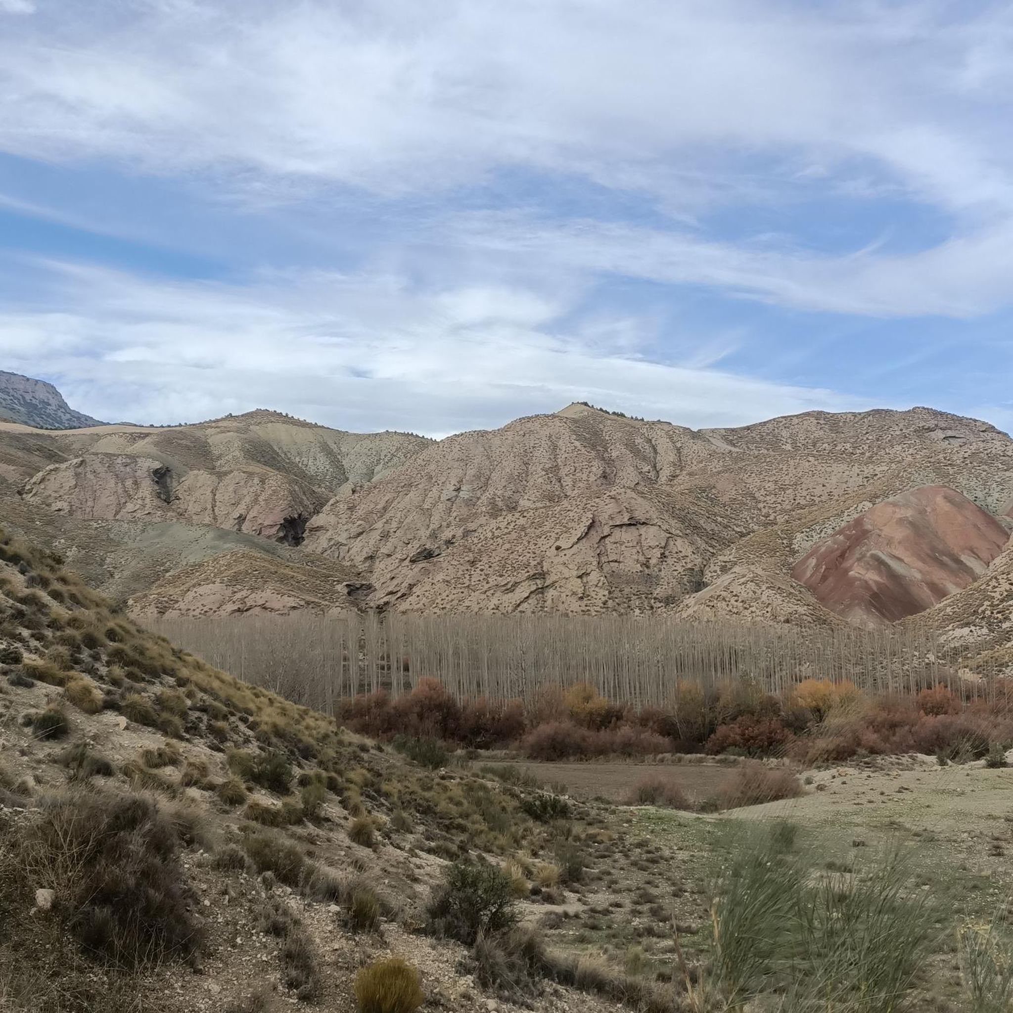
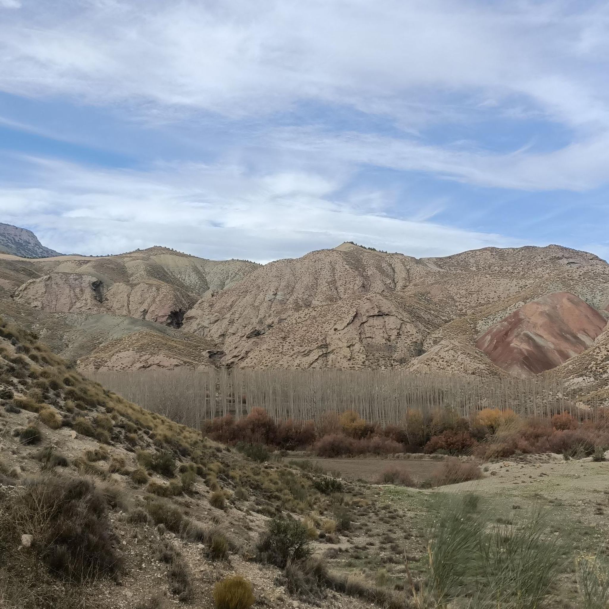
A hermitage with an interesting history. Numerous caves lie beneath the hermitage.
1
0
Frequently Asked Questions
What kind of terrain can I expect on the running trails around Gobernador?
The running trails in Gobernador are characterized by hilly terrain and varied landscapes. You'll encounter different elevations, offering both moderate and more challenging running experiences with scenic views.
Are there any easy running routes in Gobernador?
While Gobernador's trails are generally known for their hilly and varied terrain, the guide primarily features routes categorized as moderate to difficult. For example, the Alto de Doña Marina – Cerro de los Jugares loop from Torre-Cardela is a moderate 8.7-mile (14.0 km) trail that offers scenic views.
What are some longer distance running options in the Gobernador area?
For those looking for a longer run, the Hermitage of San Torcuato loop from Fonelas is a challenging 11.6-mile (18.7 km) path. It features significant elevation gain and explores an area with historical interest.
Can I find circular running paths in Gobernador?
Yes, all the featured running routes in Gobernador are circular paths. This includes the Balsa de repelón – Mirador de la Escalerilla loop from Pedro Martínez, the Hermitage of San Torcuato loop from Fonelas, and the Alto de Doña Marina – Cerro de los Jugares loop from Torre-Cardela.
Are there any viewpoints or scenic spots along the running routes?
Absolutely! Many routes offer scenic views. For instance, the Balsa de repelón – Mirador de la Escalerilla loop from Pedro Martínez features a prominent viewpoint. The Alto de Doña Marina – Cerro de los Jugares loop from Torre-Cardela also leads through hilly landscapes with scenic vistas.
What kind of natural features can I expect to see while running in Gobernador?
The region of Gobernador is characterized by its hilly terrain and varied natural features. While specific details like waterfalls aren't highlighted, you can expect to experience diverse landscapes and elevations. Nearby, you might encounter areas like Hoya de Guadix, which offers interesting natural formations.
Are there any historical or cultural points of interest near the running trails?
Yes, some routes pass by areas of historical significance. The Hermitage of San Torcuato loop from Fonelas explores an area with historical interest. Additionally, you might find landmarks like Puente del Hacho (a bridge) or the Bogarre Church in the vicinity.
What is the elevation gain like on the running trails in Gobernador?
The running trails in Gobernador often feature significant elevation changes due to the hilly terrain. For example, the Hermitage of San Torcuato loop from Fonelas has a notable elevation gain, making it a challenging option for runners seeking a workout.
How popular are the running routes in Gobernador?
The running routes in Gobernador are gaining recognition among the komoot community. Over 20 runners have already used komoot to explore the varied terrain, indicating a growing interest in the area's trails.
Are there any specific attractions or places to explore around Gobernador?
Beyond the running trails, the Gobernador area offers several points of interest. You could visit the settlement of Fonelas, see the historic Puente del Hacho, or drive along the Scenic Road Through Geoparque de Granada. The natural area of Hoya de Guadix is also nearby.
What is the overall difficulty level of running in Gobernador?
Running in Gobernador offers a mix of challenges. The guide features routes categorized as both moderate and difficult, ensuring options for runners looking for varied intensity. The hilly terrain contributes to the overall demanding nature of many trails.
Most popular routes around Gobernador
Most popular attractions around Gobernador

Get inspired with the komoot mobile app


Explore more
Browse the best Running Trails & Routes in other regions.
