The best cycling routes around Orrios
19
riders
5
rides
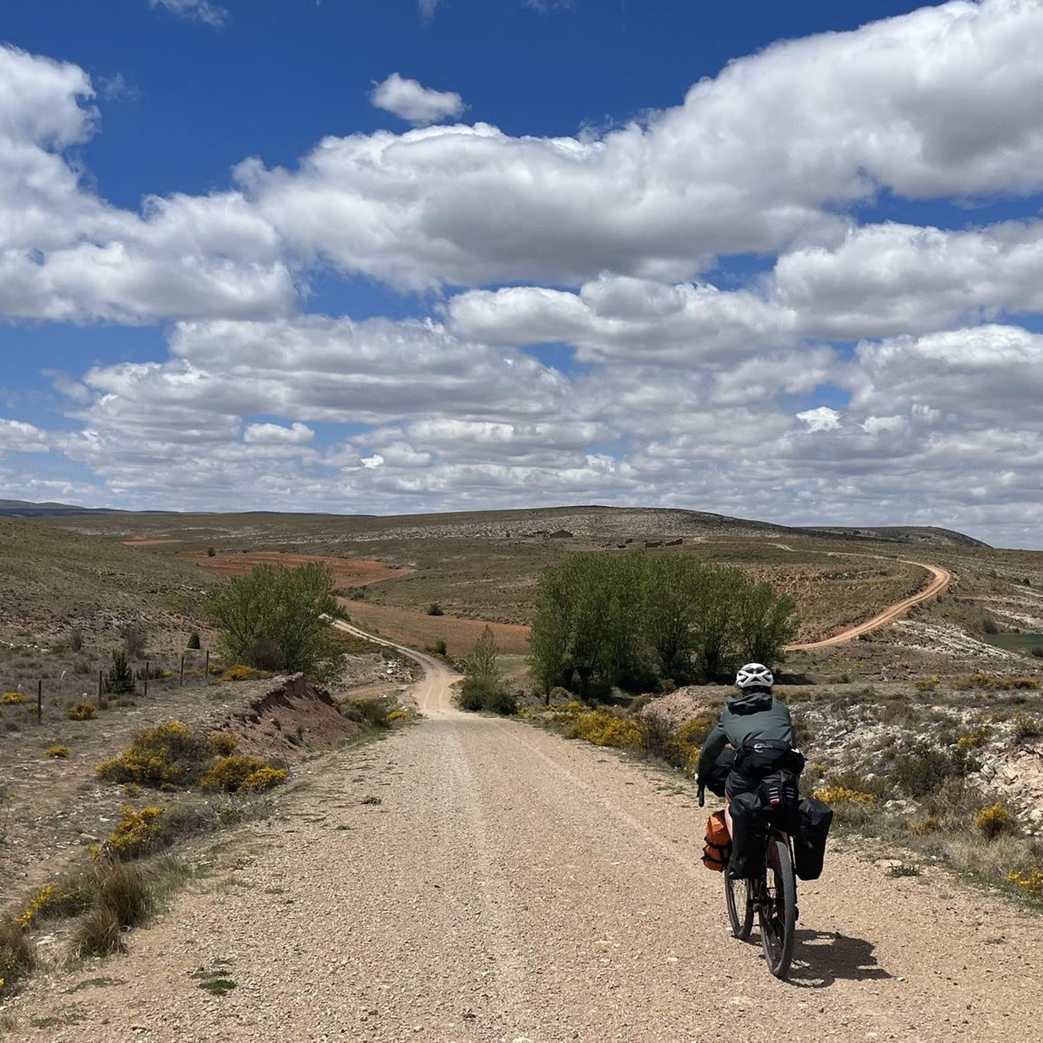
Touring cycling around Orrios offers diverse landscapes and varied terrain, characterized by extensive pine and oak forests. The region features an average altitude of 270 meters, providing both challenging ascents and enjoyable descents. Cyclists can experience picturesque views and unique rock formations along the trails. This area provides a natural environment for cycling adventures.
Best touring cycling routes around Orrios
- The most popular touring cycling route is Sierra del Pobo and Camino de los Pilones – circular from Aguilar de…
Last updated: July 6, 2026
2
riders
Hard bike ride. Very good fitness required. Mostly paved surfaces. Suitable for all skill levels.
7
riders
101km
08:44
1,780m
1,780m
Hard bike ride. Very good fitness required. Mostly paved surfaces. Suitable for all skill levels.

Sign up for free
6
riders
38.5km
03:23
540m
540m
Hard bike ride. Very good fitness required. Mostly paved surfaces. Suitable for all skill levels.
2
riders
38.7km
02:56
400m
400m
Moderate bike ride. Good fitness required. Mostly paved surfaces. Suitable for all skill levels.
2
riders
107km
07:40
1,710m
1,710m
Hard bike ride. Very good fitness required. Mostly paved surfaces. Suitable for all skill levels.
Our route recommendations are based on thousands of hikes, rides, and runs completed by other people on komoot.
Start today with a free account
Your next adventure awaits.
Login or Signup
Popular around Orrios
Tips from the Community

Hermitage of Santa Ana, Ababuj, Teruel.
0
0
Hermitage of the Holy Christ, Aguilar de Alfambra, Teruel.
0
0


Picnic area with many tables at the church with cooking facilities and water
0
0

Viewpoint at the geodetic point. Stone turret with iron ladder that allows you to climb over the tree line to enjoy the views.
0
0
The geodesic vertex called Peñarroya points 2028.228 m with respect to the base of the observation pillar, but it sits on two bodies of stone masonry. Altitude of the bodies of the order of 10 or 11 meters in total. LIDAR data confirm a ground level elevation of 2017 m. Peñarroya is a chromotoponym that refers to the color of the rocks that make up the mountain. The spelling in the Spanish language is Peñarroya and in the Aragonese language Penyarroya or Peñarroya depending on the spelling chosen for the palatal nasal. The origin of the toponym is quite clear. It combines the common noun peña, from the Latin PĭNNAM, 'battlement', with the adjective RŭBEŭS, -A, -UM 'blond'. The toponym reflects the reddish hue of the terrain. The spelling Penya (in addition to others such as Penna or Peña) is included in many medieval texts in Aragon. For example, in 1448 to designate the summit of the mountain range (of Peña) that rises above Sos del Rey Católico on the border, then, with the kingdom of Navarra.
1
0
The Peñarroya peak is a mountain in the Iberian System located in Alcalá de la Selva, in the province of Teruel (Aragon, Spain). With its 2028,228 m altitude, it constitutes the highest elevation of the Iberian System of Teruel (and the highest elevation of the province of Teruel). It is formed as a residual hill of Cretaceous limestone and sandstone, barely standing out on the erosion surface of the Gúdar mountain range. The most characteristic thing about its summit is its enormous geodesic vertex – about 10 m high – through which you can ascend. From the top you can see the Maestrazgo and the Javalambre mountain range. Altitude 2,028 m Prominence 1,023 m
0
0
Frequently Asked Questions
What are the difficulty levels of touring cycling routes in Òrrius?
The touring cycling routes around Òrrius primarily cater to experienced cyclists, with 4 out of 5 routes rated as difficult. There is also 1 moderate route available. You won't find any easy routes in this area.
What kind of scenery can I expect on touring cycling routes around Òrrius?
Cycling in Òrrius offers diverse landscapes, often traversing the beautiful Serralada Litoral Park with its extensive pine and oak forests. You can enjoy picturesque views of the Montseny mountain range and the Riudemeya stream, as well as unique geological formations like the Pedra de les Orenetes and Roca Foradada.
Are there any circular touring cycling routes in Òrrius?
Yes, all the touring cycling routes listed for Òrrius are circular, designed to bring you back to your starting point. Examples include the Sierra del Pobo and Camino de los Pilones – circular from Aguilar de Alfambra and the Peñarroya Summit Viewpoint – Cedrillas loop from Cedrillas.
What is the typical length and duration of touring cycling routes in Òrrius?
The touring cycling routes in Òrrius vary significantly in length and duration. You can find routes like the Stone Shelter – Refugio de Piedra loop from Los Portillejos, which is about 38.5 km and takes around 3 hours and 20 minutes. For longer adventures, consider the Peñarroya Summit Viewpoint – Cedrillas loop from Cedrillas, spanning over 101 km and requiring approximately 8 hours and 45 minutes.
Are there any beginner-friendly or family touring cycling routes in Òrrius?
Most touring cycling routes in Òrrius are rated as difficult, making them more suitable for experienced cyclists. There is one moderate route, the Rest Area in Celadas loop from Santa Ana, which is 38.6 km long and takes about 2 hours and 55 minutes. This might be a more approachable option, but generally, the area is geared towards more challenging rides.
What interesting sights or landmarks can I discover along the touring cycling routes?
While cycling around Òrrius, you can explore several points of interest. These include the historic Sanctuary of the Virgin of the Field, the impressive Monument to the Sacred Heart of Jesus of Alfambra, and natural features like Las Parameas de las Tierras Altas. You might also pass by the Las Cerradicas (Dinopolis) historical site.
Are there challenging touring cycling routes for experienced cyclists in Òrrius?
Absolutely. Òrrius is an excellent destination for experienced touring cyclists, with 4 out of 5 routes classified as difficult. Routes like the Barony of Escriche – Refugio de Hormigueras loop from El Pobo, covering over 106 km with significant elevation gain, offer substantial challenges and rewarding experiences.
What is the best time of year for touring cycling in Òrrius?
Given Catalonia's climate, spring (April to June) and autumn (September to October) generally offer the most pleasant weather for touring cycling in Òrrius. Temperatures are milder, and the natural landscapes are vibrant, making for comfortable and scenic rides. Summer can be hot, while winter might bring cooler temperatures, especially at higher altitudes.
Are there any specific viewpoints along the touring cycling routes?
Yes, the varied terrain around Òrrius, with an average altitude of 270 meters, often provides scenic vistas. Routes like the Peñarroya Summit Viewpoint – Cedrillas loop from Cedrillas are specifically named for their viewpoints, offering panoramic views of the surrounding natural beauty, including the Montseny mountain range.
Where can I find parking for touring cycling routes in Òrrius?
While specific parking information isn't detailed for each route, many touring cycling routes in Òrrius start from villages or towns such as Aguilar de Alfambra, Cedrillas, Los Portillejos, Santa Ana, or El Pobo. You can typically find public parking facilities within or on the outskirts of these communities, which serve as convenient starting points for your cycling adventure.
Most popular routes around Orrios
Most popular attractions around Orrios

Get inspired with the komoot mobile app


Explore more
Browse the best Cycling routes in other regions.
