The best running trails around El Saucejo
5.0
(2)
126
runners
18
runs
Jogging routes around El Saucejo are characterized by the hilly terrain of the Sierra de Tablón and the prominent Peñón de Algámitas. The region offers a mix of challenging ascents and scenic paths, often providing expansive views of the surrounding Andalusian landscape. Many running routes navigate through traditional rural areas and natural features.
Best jogging routes around El Saucejo
- The most popular jogging route is Sierra de Tablón y El Terril — circular desde Algámitas, a 11.8 miles (18.9…
Last updated: June 22, 2026
1
runners
19.0km
03:04
850m
850m
Hard run. Very good fitness required. Sure-footedness, sturdy shoes and alpine experience required.
15.0km
02:02
640m
640m
Jog this difficult 9.3-mile loop in Sierra del Tablón, gaining 2097 feet to Peñón de Algámitas for panoramic views.

Sign up for free
5.0
(1)
53
runners
17.8km
03:36
1,300m
1,300m
Hard run. Very good fitness required. Sure-footedness, sturdy shoes and alpine experience required.
20
runners
9.92km
01:52
700m
700m
Hard run. Very good fitness required. Sure-footedness, sturdy shoes and alpine experience required.
5.0
(1)
11
runners
10.9km
01:10
180m
180m
Moderate run. Good fitness required. Mostly paved surfaces. Suitable for all skill levels.
Get access to more routes and recommendations from other explorers.
Sign up for free
Already have an account?
Our route recommendations are based on thousands of hikes, rides, and runs completed by other people on komoot.
Start today with a free account
Your next adventure awaits.
Login or Signup
Tips from the Community


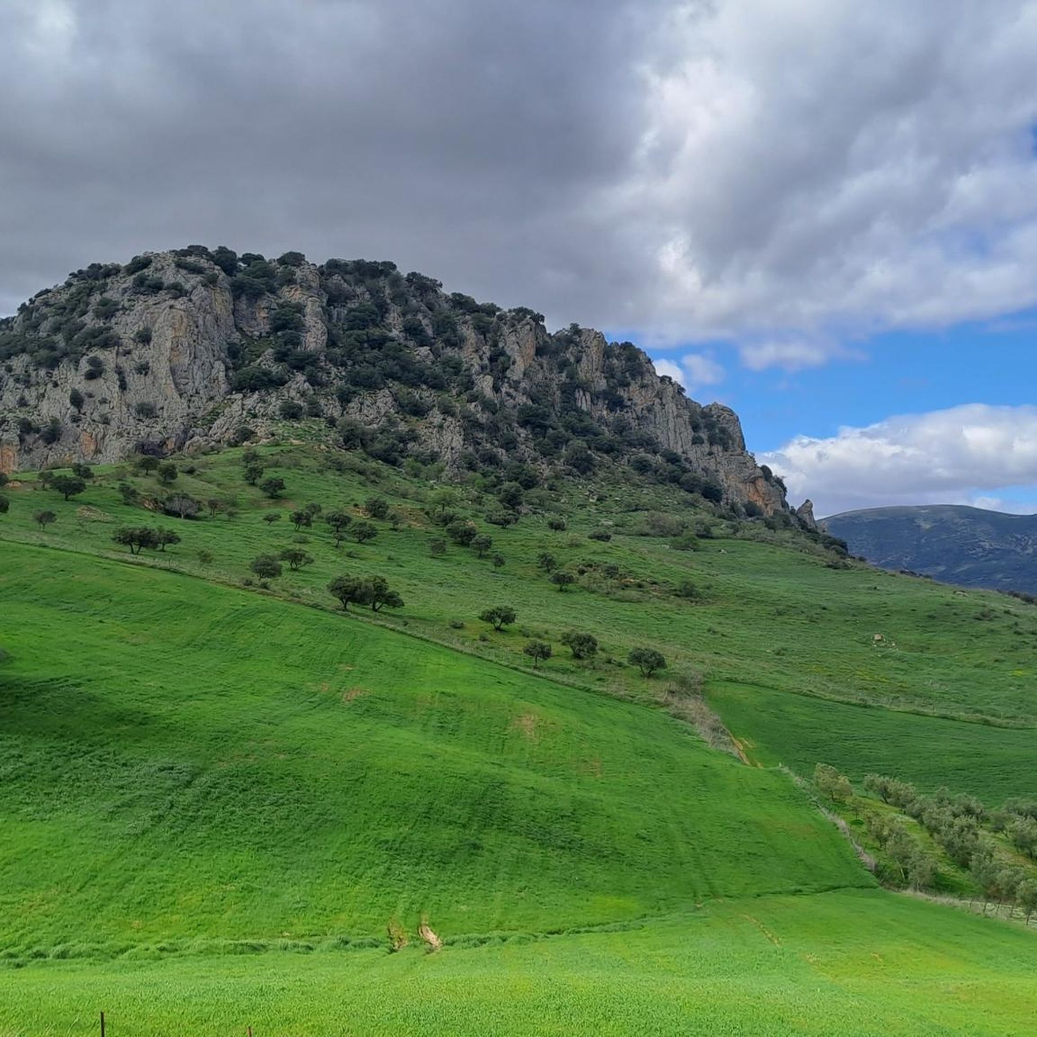
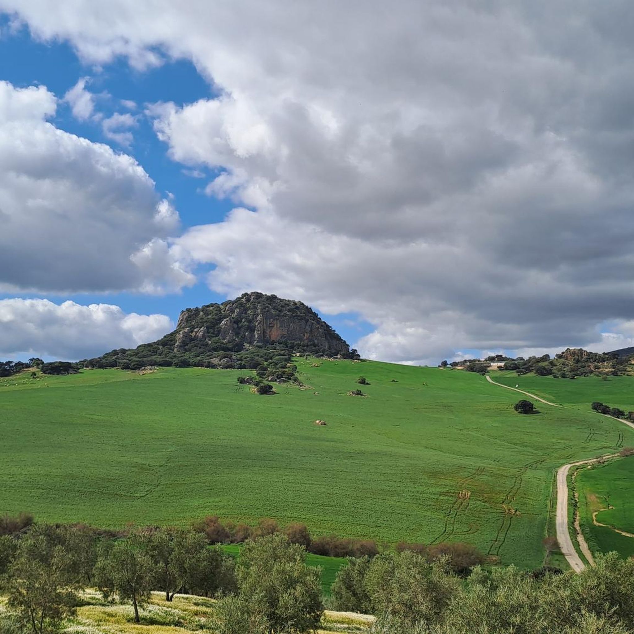
The Peñón de Algámitas is an impressive rock formation located in the Sierra del Tablón, in the province of Seville, Andalusia. With an altitude of 1,121 metres, it is one of the highest points in the province and offers spectacular views of the surrounding area.
6
0
This rock is known for its impressive landscape and its value as a natural viewing point over the surrounding olive groves. Typical vegetation includes holm oaks, cork oaks, wild olive trees and other Mediterranean species. In addition, it is a popular place for recreational and sporting activities such as hiking and climbing.
4
0
This rock is known for its impressive landscape and its value as a natural viewing point over the surrounding olive groves. Typical vegetation includes holm oaks, cork oaks, wild olive trees and other Mediterranean species. In addition, it is a popular place for recreational and sporting activities such as hiking and climbing.
4
0
Collado Sierra de Tablón is a highlight on the circular route that includes Sierra de Tablón and El Terril, near Algámitas, in the province of Seville. This route is known for its difficulty, requiring good physical fitness and experience in high mountains.
4
0

It is a simple peak with a short route, suitable for doing it with the family. It does not have great slopes nor does it require technical knowledge to do it.
2
0

The Pico del Terril is the highest altitude in the Spanish province of Seville in Andalusia, with 1129 meters. It is located on the limit line between the terms of the towns of Algámitas and Pruna, on the top of the hill known as "El Monigote" which is the highest in the Sierra del Tablón.
0
0
Frequently Asked Questions
How many running routes are available around El Saucejo?
There are over 20 running routes in the El Saucejo area, catering to various fitness levels. The majority, about 15, are classified as difficult, with 4 moderate and 1 easy option.
Are there any easy or beginner-friendly jogging routes in El Saucejo?
While most routes are challenging, there is at least one easy running route available. For those looking for a moderate option, the El Saucejo loop from El Saucejo is a good choice, covering 8.7 km with less elevation gain.
What kind of terrain can I expect on the running trails in El Saucejo?
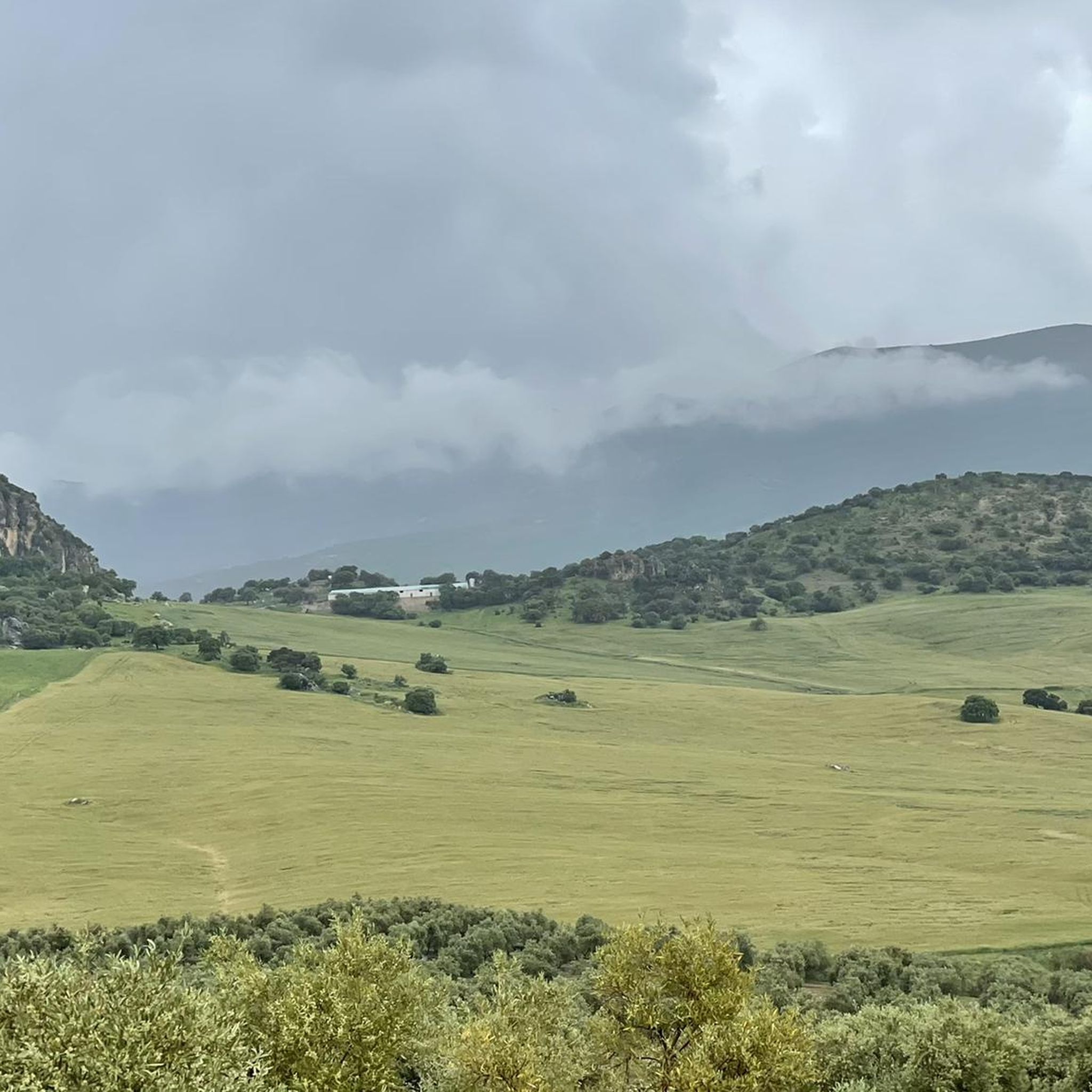
The running trails in El Saucejo are characterized by the hilly terrain of the Sierra de Tablón and the prominent Peñón de Algámitas. You can expect a mix of challenging ascents and scenic paths, often providing expansive views of the surrounding Andalusian landscape. Many routes navigate through traditional rural areas and natural features.
Are there any circular running routes in the El Saucejo area?
Yes, many routes in El Saucejo are circular. Popular options include the challenging Sierra de Tablón y El Terril — circular desde Algámitas and the Cordel de Morón and Peñón de Algámitas Loop, both offering panoramic views.
What are some scenic viewpoints or landmarks I can see while running?
The routes often feature stunning views of peaks like Pico del Terril and Peñón de Algámitas. You might also pass by the Sierra de Tablón Pass or the historic Castle of Cañete la Real (Hisn Qannit). The Gosque Lagoon Nature Reserve is another natural highlight in the vicinity.
What do other runners say about the trails in El Saucejo?
The running routes in El Saucejo are highly rated by the komoot community, with an average score of 5.0 stars from 3 reviews. Runners often praise the challenging terrain, the expansive views of the Andalusian landscape, and the natural beauty of the Sierra de Tablón and Peñón de Algámitas.
Are there any long-distance running trails near El Saucejo?
Yes, El Saucejo offers several long-distance running trails. For example, the Sierra de Tablón y El Terril — circular desde Algámitas is a challenging 18.9 km route, and the El Terril – Peñón de Algámitas loop from Restaurante Mirador spans 17.8 km.
Can I find running routes that pass through or near towns like Algámitas?
Yes, some routes offer views of or pass near local settlements. The Sierra de Tablón y El Terril — circular desde Algámitas starts and ends near Algámitas, allowing you to explore the area.
Are there any hidden gem running trails in El Saucejo?
While specific 'hidden gems' are subjective, the less frequented paths around the El Padrastro Rock Face or the trails leading to the Gosque Lagoon Nature Reserve might offer a more secluded running experience away from the main peaks.
What is the best time of year for running in El Saucejo?
Given the warm Andalusian climate, the cooler months of autumn, winter, and spring are generally ideal for running in El Saucejo. Summers can be very hot, making early mornings or late evenings the only viable times for outdoor activity.
Are there any running routes that start near a restaurant or cafe?
Yes, the El Terril – Peñón de Algámitas loop from Restaurante Mirador and the Views of Algámitas – Peñón de Algámitas loop from Restaurante Mirador both conveniently start from a restaurant, offering a place to refuel before or after your run.
Most popular attractions around El Saucejo

Get inspired with the komoot mobile app


Explore more
Browse the best Running Trails & Routes in other regions.
