The best running trails around Santa Cruz De Paniagua
19
runners
5
runs
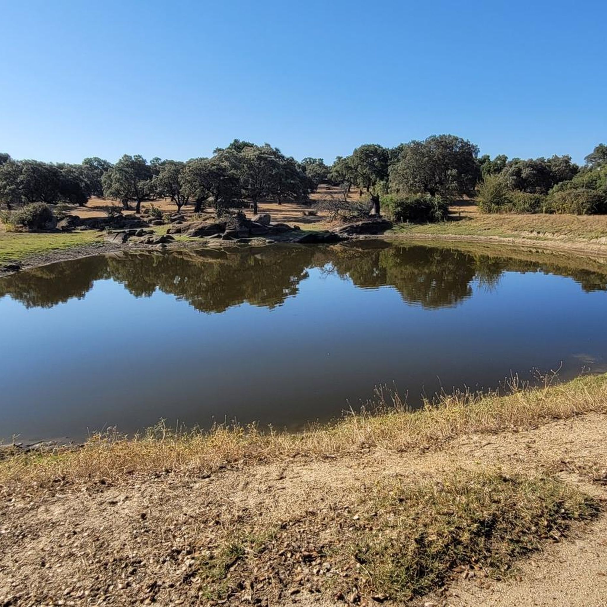
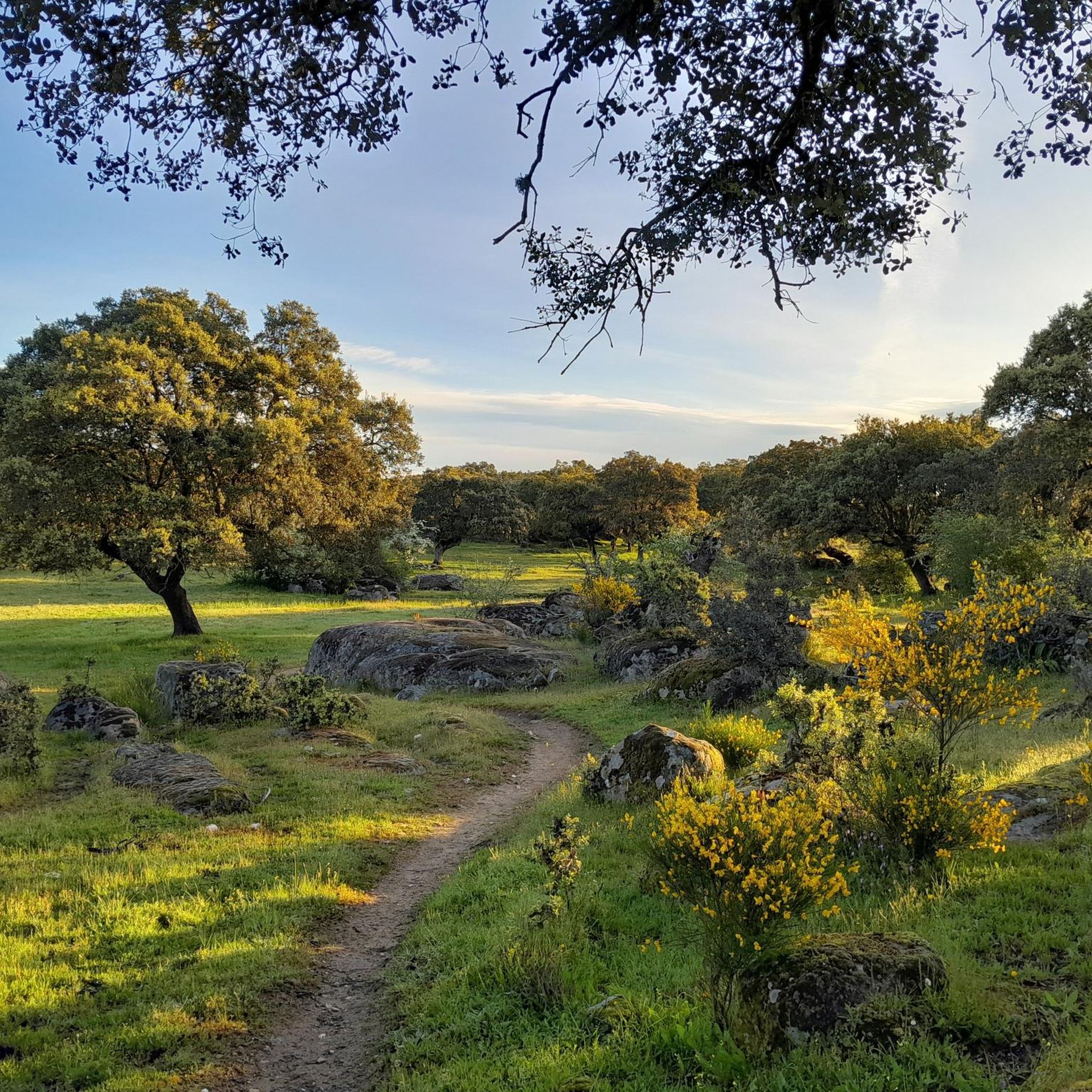
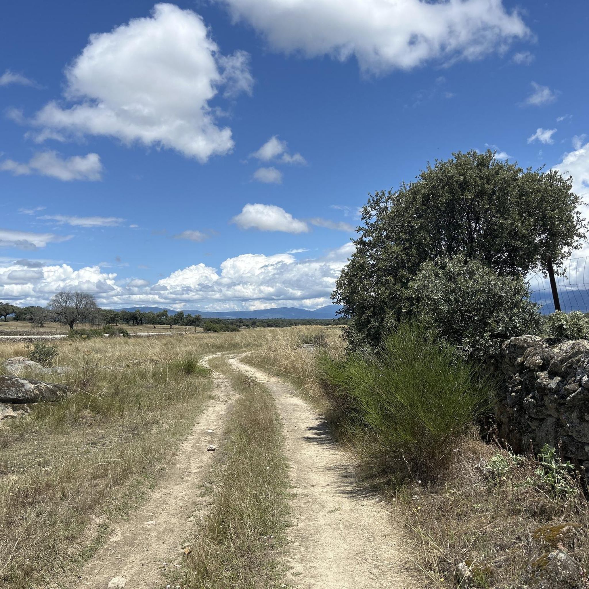
Jogging around Santa Cruz De Paniagua offers a variety of trails through a landscape characterized by rolling hills, dense woodlands, and river valleys. The region features routes with notable elevation changes, particularly in areas like the Sierra de Dios Padre. Running routes often traverse natural areas, providing varied terrain for different fitness levels.
Best jogging routes around Santa Cruz De Paniagua
- The most popular jogging route is Sierra de Dios Padre loop from Villanueva de la Sierra, an 8.85…
Last updated: July 6, 2026
5
runners
8.83km
00:59
150m
150m
Moderate run. Good fitness required. Mostly paved surfaces. Suitable for all skill levels.
4
runners
23.3km
03:01
560m
560m
Hard run. Very good fitness required. Mostly paved surfaces. Suitable for all skill levels.

Sign up for free
5
runners
15.8km
02:22
810m
810m
Hard run. Very good fitness required. Mostly paved surfaces. Suitable for all skill levels.
3
runners
12.2km
01:43
420m
420m
Hard run. Very good fitness required. Mostly paved surfaces. Suitable for all skill levels.
2
runners
11.4km
01:15
240m
240m
Moderate run. Good fitness required. Mostly paved surfaces. Suitable for all skill levels.
Our route recommendations are based on thousands of hikes, rides, and runs completed by other people on komoot.
Start today with a free account
Your next adventure awaits.
Login or Signup
Tips from the Community

Pinofranqueado is a municipality in the Las Hurdes region, in the province of Cáceres, Community of Extremadura. It is famous for a festival called La Enramá, in which young men and women from the town temporarily pair up to facilitate future courtships. Pinofraqueado is made up of a main nucleus and ten farmhouses. The farmhouses arose from the houses built by the shepherds of the area.
1
0

This is a beautiful little town where life slows down. It is located at the foot of the Sierra de Gata. It has charming little streets and a way of life that hasn't changed in years.
1
0

Passing this important bridge over the Los Angeles River in Pinofranqueado, you can see the natural pools created by the dam downstream. A great place to rest after your cycling trip.
1
0
Pinofranqueado is a small town located in the beautiful region of Las Hurdes through which the Los Angeles River passes. You can swim on a hot day on the river beach.
1
0

Beautiful town that is located at the foot of the Sierra de Gata and from where the rural essence of these towns is still preserved, far from the big cities. The alleys, the urbanism of the houses and their location make it a special place!
0
0
Frequently Asked Questions
How many running routes are available in Santa Cruz De Paniagua?
There are 5 dedicated running routes around Santa Cruz De Paniagua listed on komoot. These routes offer a variety of experiences, from moderate paths to more challenging trails with significant elevation changes.
What kind of terrain can I expect on running trails around Santa Cruz De Paniagua?
The running trails in Santa Cruz De Paniagua are characterized by rolling hills, dense woodlands, and river valleys. You'll find routes with notable elevation changes, especially in areas like the Sierra de Dios Padre, providing varied terrain for different fitness levels.
Are there any easy running routes for beginners in Santa Cruz De Paniagua?
While there are no routes specifically classified as 'easy', two moderate routes are suitable for those looking for a less strenuous run. The Pinofranqueado Bridge loop from Pinofranqueado is a moderate 4.3-mile path with less elevation, often following riverine landscapes. Another moderate option is the Charco del Chorrituelo loop from Piscina Natural de Ovejuela, which is 2.5 miles long and leads through varied natural scenery.
Are there any circular running routes in Santa Cruz De Paniagua?
Yes, all the running routes listed for Santa Cruz De Paniagua are circular. This includes the challenging Sierra de Dios Padre loop from Villanueva de la Sierra and the moderate Pinofranqueado Bridge loop from Pinofranqueado, allowing you to start and finish at the same point.
What are some interesting landmarks or natural attractions I can see along the running routes?
Several routes offer scenic points of interest. For instance, the area features the beautiful Chorrituelo Waterfall. You might also encounter parts of the historic Via de la Plata Trail or enjoy views from the Chorro de los Ángeles Viewpoint. The Charco del Chorrituelo loop from Piscina Natural de Ovejuela is a great option for varied natural scenery.
Are the running trails in Santa Cruz De Paniagua suitable for families?
While specific 'family-friendly' classifications aren't provided, the moderate routes like the Pinofranqueado Bridge loop from Pinofranqueado (4.3 miles) or the Charco del Chorrituelo loop from Piscina Natural de Ovejuela (2.5 miles) might be suitable for families with older children who are accustomed to running or walking. Always consider the distance and elevation for your family's fitness level.
What is the typical length of running trails in this region?
The running trails around Santa Cruz De Paniagua vary in length. You can find shorter routes like the Charco del Chorrituelo loop from Piscina Natural de Ovejuela at 2.5 miles (4.1 km), up to longer, more challenging options such as the Sierra de Dios Padre loop from Santa Cruz de Paniagua, which spans 14.45 miles (23.3 km).
Are there any running routes that offer significant elevation challenges?
Yes, if you're looking for a challenging run with significant elevation, the Sierra de Dios Padre loop from Santa Cruz de Paniagua is a difficult 14.45-mile route with over 560 meters of ascent. Another demanding option is the Robledillo de Gata loop from Ovejuela, a difficult 9.8-mile trail with over 800 meters of elevation gain.
What do other runners enjoy the most about jogging in Santa Cruz De Paniagua?
The komoot community frequently praises the varied terrain and natural beauty of the region. Runners often highlight the experience of traversing forested hills, river valleys, and open landscapes, with options catering to different ability levels. Over 20 runners have used komoot to explore these trails, appreciating the diverse running environment.
Is public transport available to access the running routes?
Information on specific public transport links directly to the trailheads is not readily available. It is generally recommended to check local bus schedules or consider driving to the starting points of the routes, especially for those located in more rural areas surrounding Santa Cruz De Paniagua.
Are there any running routes with parking facilities nearby?
While specific parking details for each trailhead are not provided, many routes, being loops, typically start and end in or near villages such as Villanueva de la Sierra, Pinofranqueado, or Piscina Natural de Ovejuela. It is common to find parking available in these starting locations, though it's advisable to check local conditions upon arrival.
What is the best time of year for running in Santa Cruz De Paniagua?
The region's climate suggests that spring and autumn offer the most pleasant conditions for running, with milder temperatures and vibrant natural scenery. Summers can be hot, especially in the open areas, while winters might bring cooler temperatures and potentially some precipitation, making trail conditions more challenging.
Most popular routes around Santa Cruz De Paniagua
Most popular attractions around Santa Cruz De Paniagua

Get inspired with the komoot mobile app


Explore more
Browse the best Running Trails & Routes in other regions.
