Top 11 Mountain Passes around Savignone
Best mountain passes around Savignone are situated in the Ligurian Apennines, within the Antola Regional Natural Park. This region offers access to various mountain passes and high-altitude areas. The landscape provides diverse hiking opportunities and scenic routes.
Best mountain passes around Savignone
- The most popular mountain passes is Passo della Bocchetta (772 m), a mountain pass that offers an easy climb with asphalt in good condition. At the top, visitors can enjoy an excellent view and find drinking water. …
Last updated: August 19, 2026
Passo della Bocchetta (772 m)
Highlight • Mountain Pass
Translated by Google •
Tip by

Castagnola Pass
Highlight • Mountain Pass
Translated by Google •
Tip by
Sign up now to discover places like this
Get recommendations on the best single tracks, peaks, & plenty of other exciting outdoor places.
Sign up for free
Scenic Picnic Area at Passo della Bocchetta
Highlight • Rest Area
Translated by Google •
Tip by
Trensasco Pass
Highlight • Mountain Pass
Translated by Google •
Tip by

Ascent to Passo dei Giovi (SS 35)
Highlight (Segment) • Mountain Pass
Translated by Google •
Tip by

Sign up for free to discover even more mountain passes around Savignone.
Sign up for free
Already have an account?
Start today with a free account
Your next adventure awaits.
Login or Signup

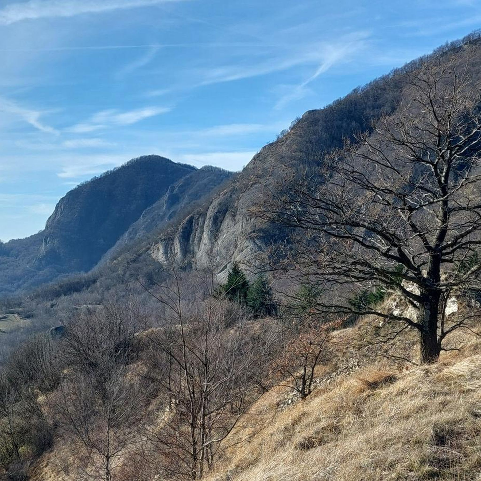
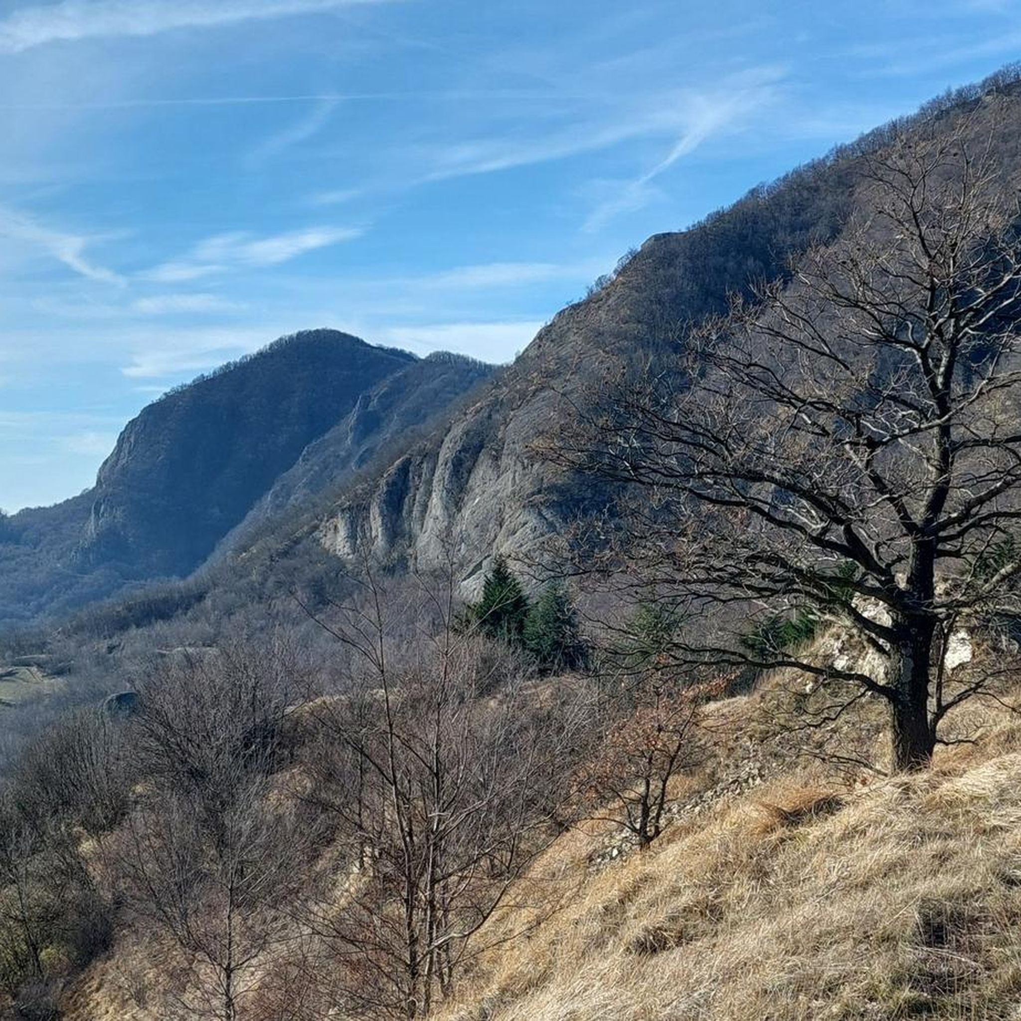
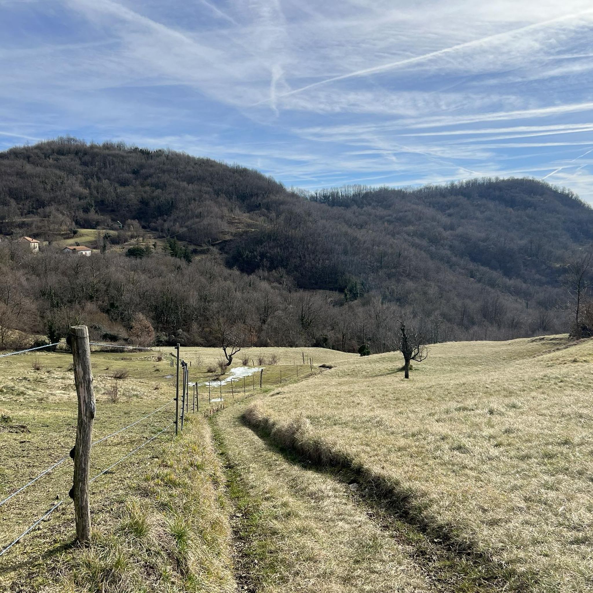
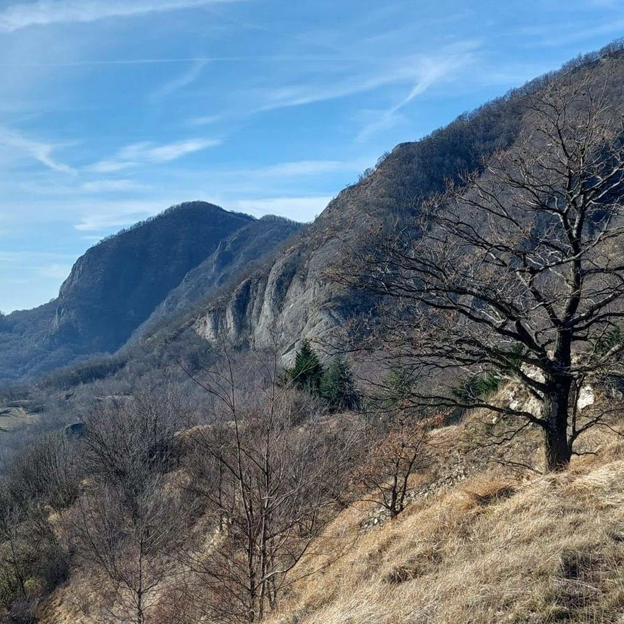
Other adventures around Savignone

Tips from the Community

It is located along the Appennino bike tour route and, coming up from Voltaggio, it is an easy and very rewarding climb, both for the views and for the absence of traffic.
3
0


Easy climb with asphalt in good condition.
26
0
At the top of the Bocchetta Pass you will find the giant bench.
20
0
Not a difficult step, at the top you can enjoy an excellent view.
20
0

The Castagnola pass connects the upper Val Lemme with the upper Valle Scrivia. The pass is located in the Ligurian Apennines on the border with the municipalities of Fraconalto in Piedmont and Ronco Scrivia in Liguria. The pass is connected via a provincial road that starts from Voltaggio and ends in Borgo Fornari. 590 m above sea level
2
0

... or Descent, depending on the direction 😇
2
0

big bench ontop of the Passo della Bocchetta, good views
0
0
Frequently Asked Questions
What are some other notable mountain passes to explore around Savignone?
Beyond the most popular, you can explore the Castagnola Pass, which connects the upper Val Lemme with the upper Valle Scrivia and is known for its beautiful, less-traveled climb. Another option is Trensasco Pass, a starting point for various tracks, located on the road of the aqueduct.
What makes Passo della Bocchetta a popular destination?
Passo della Bocchetta (772 m) is popular for its easy climb with asphalt in good condition, making it accessible. At the top, visitors can enjoy excellent views and find drinking water. There's also a Scenic Picnic Area at Passo della Bocchetta with a giant bench, perfect for a break and enjoying the panorama.
Are there any historically significant mountain passes in the Savignone area?
Yes, the Passo dei Giovi is geographically and historically significant. Located at 472 meters, it marks the geological boundary between the Alps and the Apennines. It's traversed by the Alta Via dei Monti Liguri and has a railway line running through it. The ascent from Pontedecimo is a historic climb with a gradual slope.
What kind of views can I expect from the mountain passes around Savignone?
The region offers stunning vistas and impressive panoramas. From Monte Pianetto, you can get breathtaking views of the valley, extending to Valbrevenna, the sea, and even the distant Alps. Passo dell'Incisa also provides fantastic views of surrounding mountain villages, while Monte Antola offers extensive panoramic views, including those of the Po Valley and the sea.
What outdoor activities can I do near these mountain passes?
The area around Savignone's mountain passes is excellent for various outdoor activities. You can find numerous cycling routes, including challenging road cycling tours like the Passo della Bocchetta loop from Casella Paese. For runners, there are running trails such as the loop from Savignone to Busalla in the Antola Regional Natural Park. Many passes also serve as starting points for hiking.
Are there family-friendly options among Savignone's mountain passes?
Yes, the Scenic Picnic Area at Passo della Bocchetta is considered family-friendly, offering a pleasant spot to take a break and enjoy the beautiful panorama. The easy climb to Passo della Bocchetta itself can also be suitable for families.
What are the difficulty levels of hiking trails around Savignone's mountain passes?
The trails vary in difficulty. Some ascents, like the Ascent to Passo dei Giovi (SS 35), are challenging. The hike from Passo dell'Incisa to Monte Buio and Monte Antola is also described as a challenging route for experienced hikers. However, there are also more leisurely walks and routes with gradual slopes, such as the ascent to Passo dei Giovi from Pontedecimo, catering to different fitness levels.
What natural features can I expect to see around Savignone's mountain passes?
The region is part of the Antola Regional Natural Park, offering enchanting landscapes and diverse natural features. You'll find deciduous forests, particularly around Passo delle Tre Croci, and green Apennine basins. Monte Pianetto provides a panoramic view of the watershed with the Brevenna Valley, while Monte Antola is known for its extensive hiking trails through varied natural settings.
When is the best time of year to visit the mountain passes around Savignone?
While specific seasonal advice isn't provided, the region's diverse hiking opportunities and scenic routes are generally best enjoyed during spring, summer, and early autumn when the weather is mild and trails are clear. This allows for comfortable exploration of the natural park and its high-altitude areas.
What is Passo delle Tre Croci known for?
Passo delle Tre Croci, situated under Monte Antola, is characterized by three wooden crosses nestled within a deciduous forest. It serves as a popular starting point for the hike to Monte Antola, the highest peak in the Antola Regional Natural Park, offering a beautiful hiking experience through diverse landscapes.
Can I find accommodation or dining options near the mountain passes?
While specific cafes, pubs, or accommodation directly at every pass are not detailed, the region around Savignone and its bordering municipalities would offer various options. For hikers tackling Monte Antola, the Rifugio Parco Antola, a mountain hut, is located near the summit and can accommodate visitors.
Most popular attractions around Savignone

Get inspired with the komoot mobile app


Explore more
See even more epic mountain passes by checking out these guides around Savignone:
