Top 7 Mountain Passes around Untersiggenthal
Best mountain passes around Untersiggenthal are found in the broader region, as the municipality itself is situated in the Limmat Valley at an elevation of approximately 375 meters. The landscape of Untersiggenthal is characterized by forests and agricultural land. To experience significant mountain passes, one typically needs to venture outside of Untersiggenthal into the surrounding mountainous areas of Switzerland.
Best mountain passes around Untersiggenthal
- The most popular mountain passes is Ampfernhöhe, a mountain pass that features a moderately increasing,…
Last updated: June 26, 2026
Ampfernhöhe
Highlight • Mountain Pass
Translated by Google •
Tip by

Bözberg Pass
Highlight • Mountain Pass
Translated by Google •
Tip by

Sign up now to discover places like this
Get recommendations on the best single tracks, peaks, & plenty of other exciting outdoor places.
Sign up for free
Serpentine Pass Near Hottwil
Highlight • Mountain Pass
Tip by

Erli rest area
Highlight • Parking
Translated by Google •
Tip by

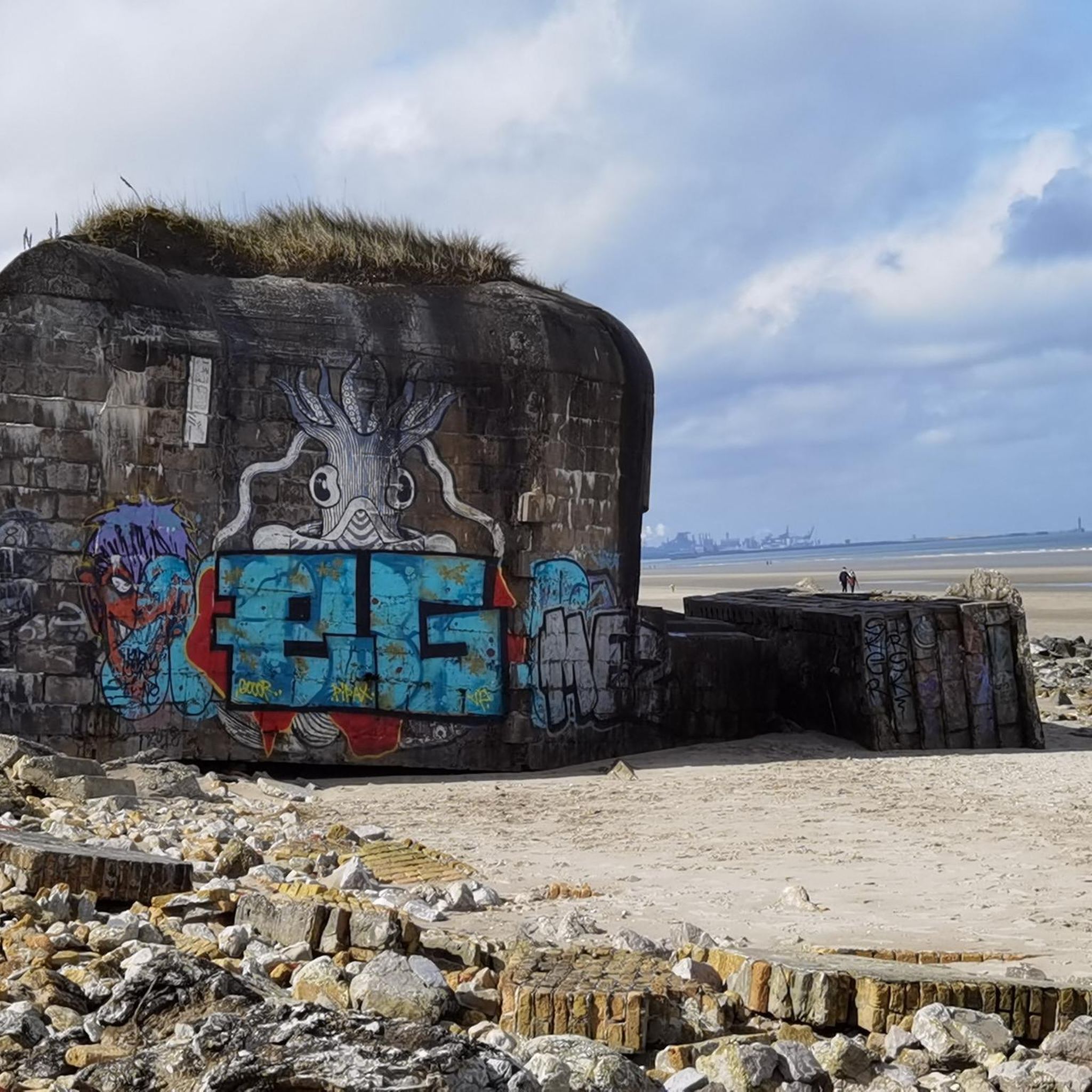
Bührersteiger Pass Summit Bunker
Highlight • Monument
Translated by Google •
Tip by
Sign up for free to discover even more mountain passes around Untersiggenthal.
Sign up for free
Already have an account?
Start today with a free account
Your next adventure awaits.
Login or Signup
Other adventures around Untersiggenthal

Tips from the Community

The main road over the 569 meter high Bözberg connects the Fricktal with Brugg. If you are on a mountain bike, you have the advantage of being able to go straight back into the forest before and after, thus avoiding traffic.
1
0

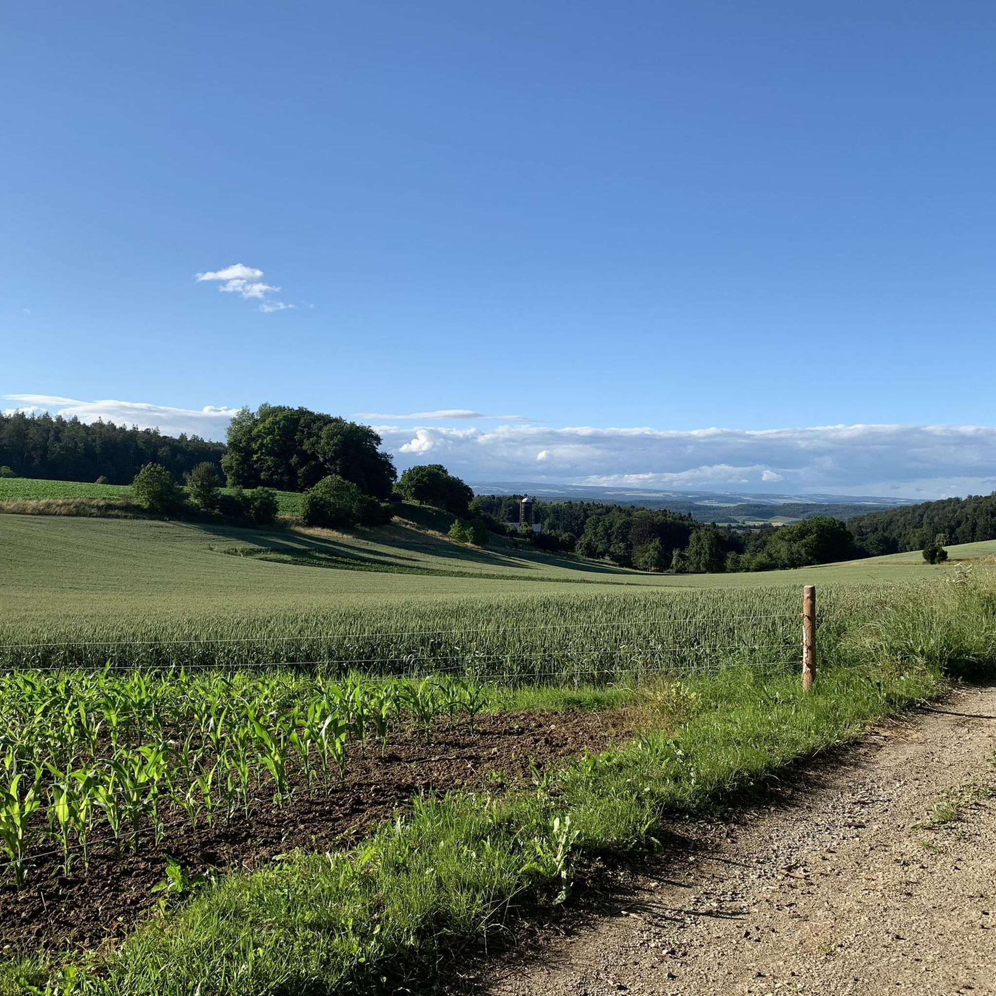
Beautiful view of Mandach and the Black Forest
0
0

On the Bözberg! And no matter which side you arrive from, there are many interesting forest and field paths, trails, and sights in the area. While you're there, I recommend visiting the Linner Linde tree or the old town of Brugg. There's so much more to see there, but there wouldn't be enough space. Have fun!
1
0

is on the tour, very steep, short climb: 80 m, rapid descent on the other side
0
0
I only see so many strategically well-placed bunkers from World War II thanks to the fact that I travel by bike. Interesting how they are small and yet so different.
1
0

Grünegg pass height, small parking lot
1
0
At this intersection, under the treetops, you can relax from your journey and watch the passing cars. Personally, I stop there every time. It's truly special...
2
0

This small beautiful pass is best approached from the village of Hottwil. Excellent smooth asphalt surface with a climb from Hottwil to the base of 3% then increasing to 6-7% for the remainder of the climb. There is not a lot of traffic on this route so it is a real pleasure to ride this route in all seasons and weather.
0
0
Frequently Asked Questions
Where can I find mountain passes near Untersiggenthal?
While Untersiggenthal itself is in a valley, you'll find mountain passes in the broader surrounding region of Switzerland. These passes offer varied terrain for cycling and hiking, often including viewpoints and historical sites.
What are some popular mountain passes to visit near Untersiggenthal?
Some popular mountain passes include Ampfernhöhe, known for its moderately increasing, fluid to drive Nebensträßchen, and Bözberg Pass, which connects the Fricktal with Brugg and offers a rapid descent into the Fricktal. Another option is Serpentine Pass Near Hottwil, featuring an excellent smooth asphalt surface suitable for cycling.
Are there historical sites or landmarks on the mountain passes?
Yes, some mountain passes feature historical elements. For example, the Bührersteiger Pass Summit Bunker is a man-made monument and historical site that offers insight into strategically placed bunkers from World War II.
What kind of activities can I do on or near these mountain passes?
The mountain passes around Untersiggenthal are popular for both cycling and hiking. You can find routes that offer diverse experiences, from smooth asphalt climbs for road cycling to forest and field paths for mountain biking and hiking. For more detailed hiking routes, explore the Hiking around Untersiggenthal guide. For cycling, check out the Cycling around Untersiggenthal guide or the MTB Trails around Untersiggenthal guide.
Are there family-friendly options for visiting mountain passes?
While specific passes aren't explicitly labeled 'family-friendly' in all cases, the Erli rest area, located at a pass height, is noted as family-friendly and offers a small parking lot and a beautiful view, making it a good spot for a break during a family outing.
What is the best time of year to visit the mountain passes near Untersiggenthal?
Many of the passes, especially those with smooth asphalt surfaces like the Serpentine Pass Near Hottwil, are enjoyable to ride in all seasons and weather, provided conditions are safe. For hiking, spring through autumn generally offers the most pleasant weather, though winter hiking can be an option with appropriate gear and conditions.
Are there viewpoints along the mountain passes?
Yes, many mountain passes and their surrounding routes offer scenic viewpoints. For instance, the Ampfernhöhe is also categorized as a viewpoint, and the Erli rest area provides a beautiful view of Mandach and the Black Forest.
What amenities are available near the mountain passes?
Some passes offer amenities. For example, after a climb up to the "Sennhütte" from Ampfernhöhe, catering is available. In the broader region, you can find cafes, restaurants, and accommodation in nearby towns and villages.
How can I access the mountain passes using public transport?
While specific public transport connections directly to every pass summit might vary, Untersiggenthal itself is accessible by public transport. From there, you would typically need to cycle or hike to reach the passes. For detailed route planning, it's recommended to check local public transport schedules for connections to the starting points of your chosen pass routes.
What kind of terrain can I expect on the mountain passes?
The terrain varies. You can find smooth asphalt surfaces ideal for road cycling, as seen on the Serpentine Pass Near Hottwil. Other passes, like Bözberg Pass, offer access to interesting forest and field paths, suitable for mountain biking or hiking, with descents that can be quite rapid.
Are there parking facilities near the mountain passes?
Yes, some locations offer parking. The Erli rest area, situated at a pass height, has a small parking lot where you can relax and watch passing cars.
Most popular routes around Untersiggenthal
Most popular attractions around Untersiggenthal

Get inspired with the komoot mobile app


Explore more
See even more epic mountain passes by checking out these guides around Untersiggenthal:
