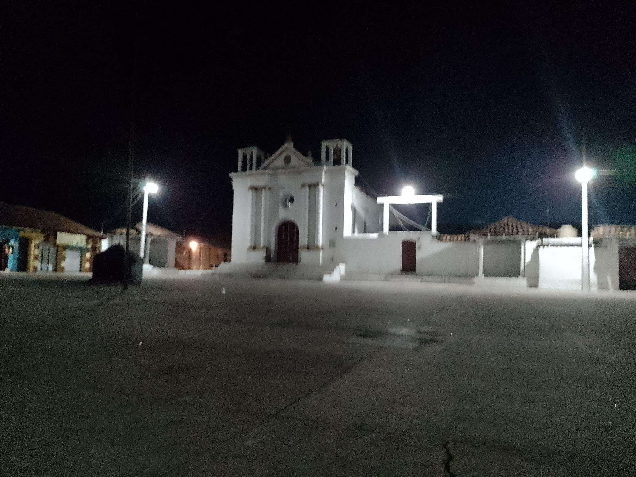
The best cycling routes in the Sierra de Chuacus
5.0
(2)
9
riders
3
rides
Touring cycling in the Sierra de Chuacus offers routes through a rugged, mountainous landscape in Guatemala's central highlands. The region is characterized by significant elevation changes, with peaks reaching over 8,200 feet (2,500 meters), providing demanding climbs and descents. Pine-oak forests and diverse ecosystems define much of the terrain, situated between the Motagua Fault and the Chixoy-Polochic Fault. Major river basins, including the Chixoy and Salamá, border the sierra, contributing to its varied topography.
Best touring cycling routes in the…
Last updated: July 2, 2026
5.0
(1)
3
riders
25.6km
01:50
470m
470m
Hard bike ride. Very good fitness required. Mostly paved surfaces. Suitable for all skill levels.
4
riders
31.9km
02:33
680m
680m
Hard bike ride. Very good fitness required. Mostly paved surfaces. Suitable for all skill levels.

Sign up for free
5.0
(1)
2
riders
18.6km
01:16
290m
290m
Moderate bike ride. Good fitness required. Mostly paved surfaces. Suitable for all skill levels.
Our route recommendations are based on thousands of hikes, rides, and runs completed by other people on komoot.
Start today with a free account
Your next adventure awaits.
Login or Signup
Frequently Asked Questions
How challenging are the touring cycling routes in Sierra de Chuacus?
Touring cycling in Sierra de Chuacus is generally challenging due to the region's rugged, mountainous terrain and significant elevation changes. Routes often feature demanding climbs and descents. For example, the Bike loop from Santa Cruz del Quiché involves over 460 meters of elevation gain, and the Plaza Principal loop from Huehuetenango has nearly 680 meters of ascent.
What kind of terrain will I encounter on touring cycling routes in Sierra de Chuacus?
You can expect varied and often rugged terrain. The Sierra de Chuacus is characterized by mountainous landscapes, pine-oak forests, and potentially cloud forest ecosystems at higher altitudes. Cyclists will navigate steep ascents, winding roads, and diverse surface conditions typical of the Guatemalan highlands.
Are there any easy touring cycling routes for beginners in Sierra de Chuacus?
Yes, there is at least one easy touring cycling route available. The Laguneta Adolfo V. Hall loop from Santa Cruz del Quiché is classified as easy, covering about 13.9 kilometers with a more modest elevation gain, making it suitable for those looking for a less strenuous ride.
What natural features can I expect to see while touring cycling in Sierra de Chuacus?
The region offers diverse natural beauty, including extensive pine-oak forests and the potential for cloud forest zones at higher elevations. The sierra is bordered by significant waterways like the Chixoy, Salamá, and Motagua rivers, and you might encounter smaller water features such as the 'mini cascada' near Pasojoc Zacualpa.
Are there good viewpoints along the touring cycling routes in Sierra de Chuacus?
Given the high altitudes and mountainous terrain, many routes in Sierra de Chuacus offer breathtaking panoramic views across valleys and other mountain ranges. The elevated landscape provides numerous opportunities for scenic vistas, especially on routes with significant climbs like the Plaza Principal loop from Huehuetenango.
What is the best time of year for touring cycling in Sierra de Chuacus?
While specific seasonal data for Sierra de Chuacus is limited, the broader Guatemalan highlands generally experience a dry season from November to April, which is often preferred for outdoor activities like cycling due to more stable weather and less rainfall. The wet season from May to October can bring afternoon showers, making trails potentially muddier and more challenging.
Are there any circular touring cycling routes in Sierra de Chuacus?
Yes, several touring cycling routes in Sierra de Chuacus are designed as loops. Examples include the popular Bike loop from Santa Cruz del Quiché, the Laguna de Ocubila – Area Verde Z.7 loop from Segundo Carrizal, and the Laguneta Adolfo V. Hall loop from Santa Cruz del Quiché.
What do other touring cyclists say about their experience in Sierra de Chuacus?
The touring cycling routes in Sierra de Chuacus are highly rated by the komoot community, with an average score of 5.0 stars from reviewers. Cyclists often appreciate the challenging terrain, the immersive natural environment of the pine-oak forests, and the opportunity for a unique, off-the-beaten-path adventure in the Guatemalan highlands.
Is public transport available to access touring cycling routes in Sierra de Chuacus?
Access to specific trailheads within Sierra de Chuacus via public transport might be limited, as the region is known for its untouched nature and less-trafficked areas. Cyclists often rely on local buses (chicken buses) for regional travel in Guatemala, but direct access to remote starting points may require private transport or a combination of options.
Are there any family-friendly touring cycling options in Sierra de Chuacus?
While many routes are challenging, the Laguneta Adolfo V. Hall loop from Santa Cruz del Quiché is an easy-graded route that could be more suitable for families or those seeking a less demanding ride. However, due to the overall rugged nature of the region, families should assess the specific route details and their own experience levels carefully.
Do I need any special permits for touring cycling in Sierra de Chuacus?
Generally, specific permits for touring cycling on public roads or established trails within Sierra de Chuacus are not widely publicized or required. However, if you plan to cycle through private land or protected areas, it's always advisable to check with local authorities or landowners for any specific access requirements.
What are the typical distances for touring cycling routes in Sierra de Chuacus?
The touring cycling routes in Sierra de Chuacus vary in length, catering to different endurance levels. For instance, the Laguneta Adolfo V. Hall loop from Santa Cruz del Quiché is about 13.9 kilometers, while the Plaza Principal loop from Huehuetenango extends to nearly 32 kilometers, offering options for shorter excursions or longer, more demanding rides.

Get inspired with the komoot mobile app


