The best mountain hikes around Schönthal
5.0
(1)
11
hikers
3
hikes
Mountaineering routes around Schönthal are found in eastern Bavaria, near the Czech border, at the foot of the Bavarian Forest. The region is characterized by dense forests, picturesque hills, and clear rivers, offering varied terrain for mountaineering. Elevations are moderate, with routes traversing the Upper Palatinate Forest Nature Park. The landscape includes natural monuments and rocky summits, providing both challenging ascents and scenic viewpoints.
Best mountaineering routes around Schönthal
- The most popular mountaineering route is Three Coats of Arms –…
Last updated: June 30, 2026
7
hikers
5.75km
01:37
110m
110m
Moderate mountaineering route. Great for any fitness level. Mostly accessible paths. Sure-footedness required.
2
hikers
Hard mountaineering route. Good fitness required. Sure-footedness, sturdy shoes and alpine experience required.

Sign up for free
5.0
(1)
1
hikers
8.27km
02:23
200m
200m
Moderate mountaineering route. Good fitness required. Easily-accessible paths. Suitable for all skill levels.
1
hikers
Hard mountaineering route. Good fitness required. Sure-footedness, sturdy shoes and alpine experience required.
Our route recommendations are based on thousands of hikes, rides, and runs completed by other people on komoot.
Start today with a free account
Your next adventure awaits.
Login or Signup
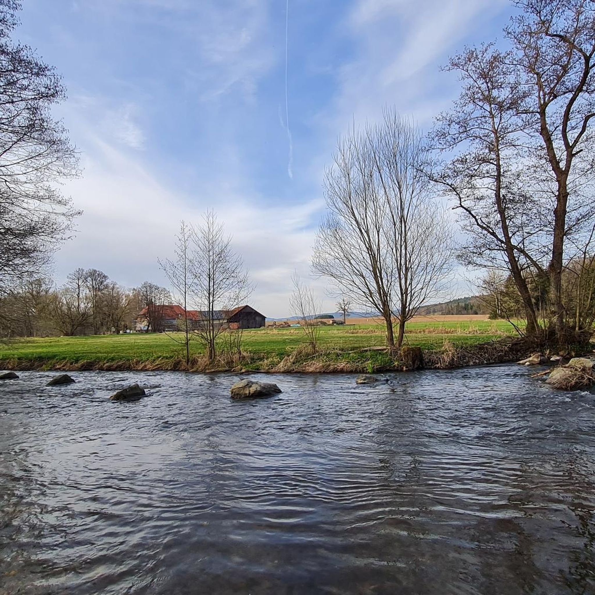
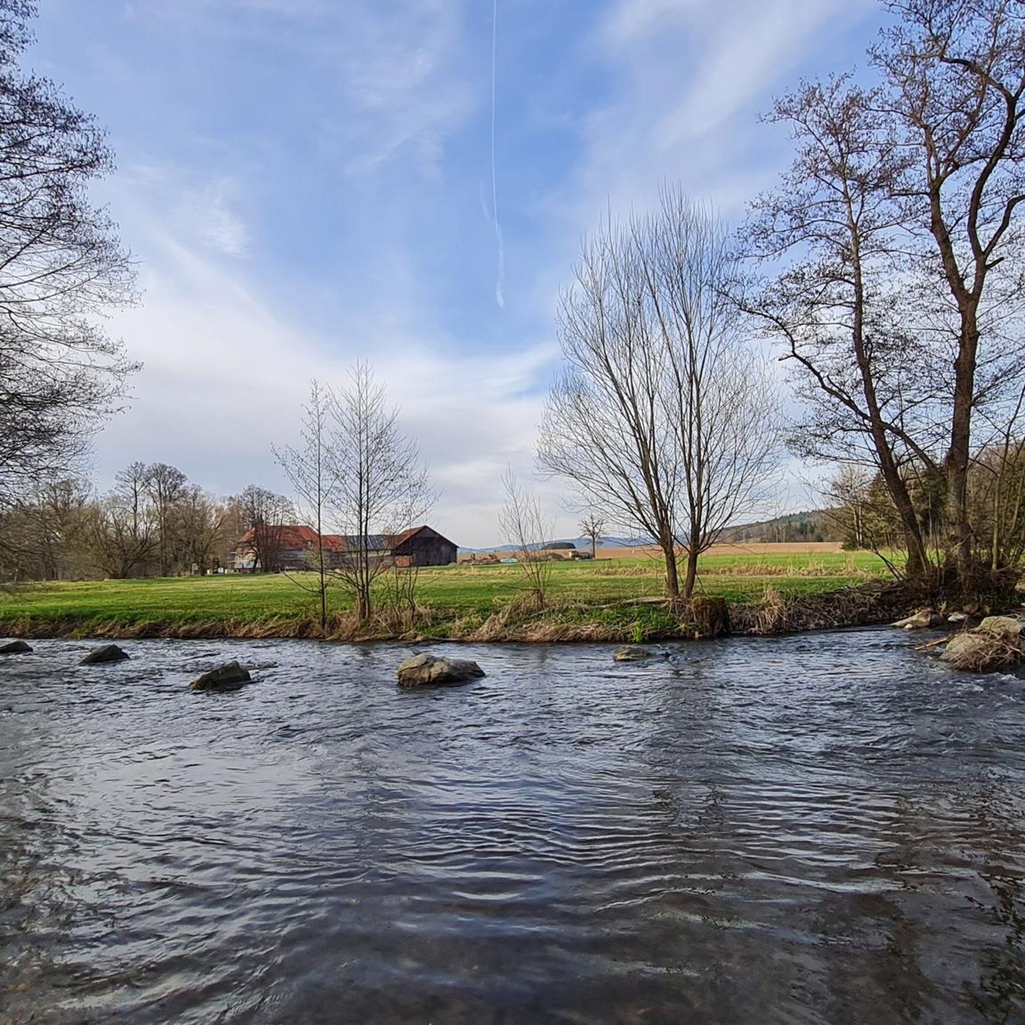
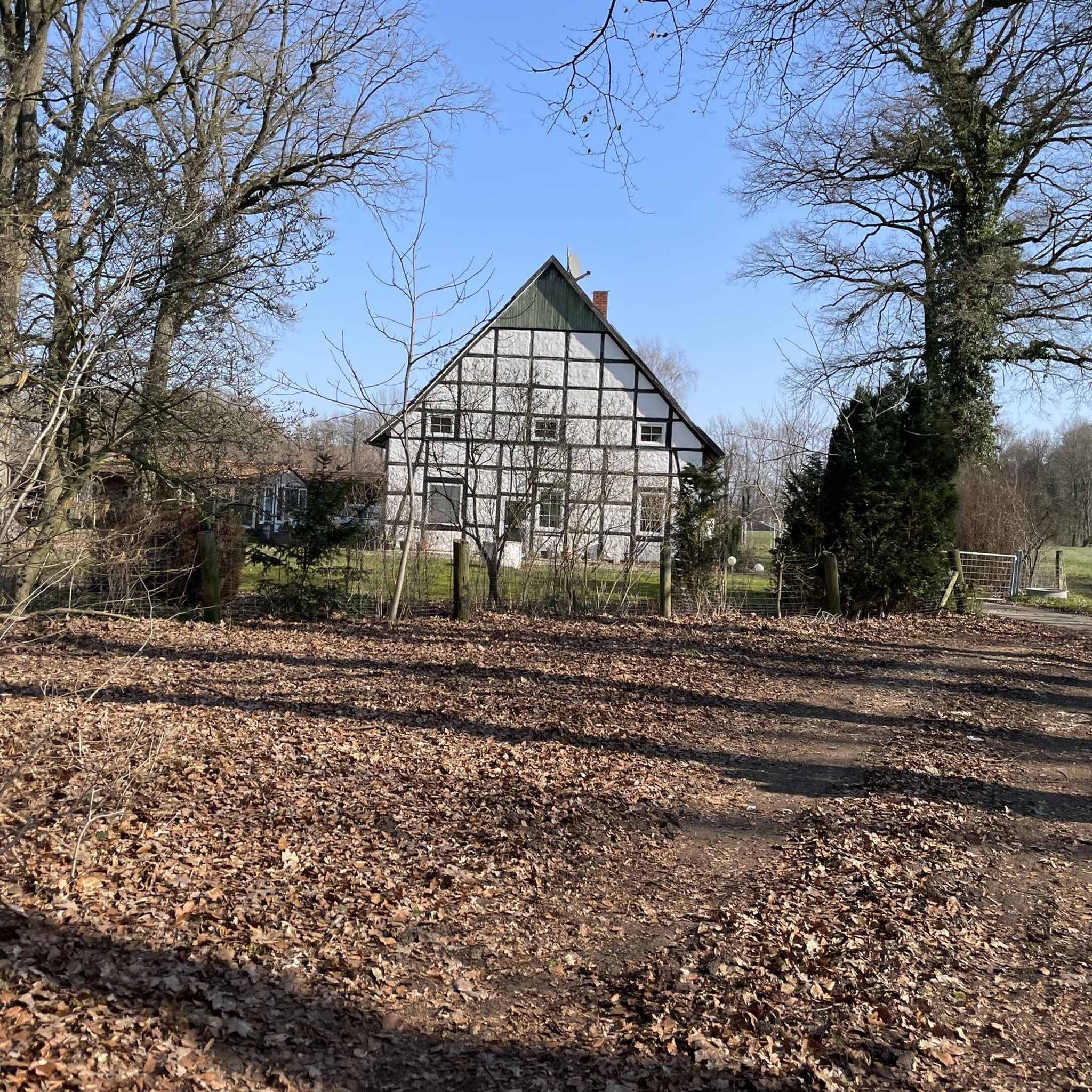
Other adventures around Schönthal

Tips from the Community


Beautiful spot on the edge of the forest with a good view...
1
0

This charging station is located in front of the castle gate, practically in the middle of nature
0
0

not needed, but good to know
0
0
not always easy, but worthwhile
0
0
not always easy, but worthwhile
0
0


He has it, but it's problematic when hikers are on it. There's only one option: allow access.
1
0
Frequently Asked Questions
What kind of terrain can I expect on mountaineering routes around Schönthal?
The mountaineering routes around Schönthal, located in eastern Bavaria, traverse diverse terrain. You'll encounter dense forests, picturesque hills, and rocky summits. The region is part of the Bavarian Forest and Upper Palatinate Forest Nature Park, offering varied landscapes with moderate elevations and some challenging ascents.
Are there routes suitable for beginners or only experienced mountaineers?
The mountaineering routes in Schönthal cater to various skill levels. While there are challenging routes, such as the Three Coats of Arms – Kreuzfelsen Summit (Gibacht) loop from Gibacht, you can also find moderate options like the Frauenstein Castle Ruins loop from Altenschneeberg, which leads through forested hills and past historic ruins.
What are some challenging mountaineering routes in the Schönthal area?
For experienced mountaineers seeking a challenge, the Summit Cross at Schwarzenburg – Eixendorfer Reservoir loop from Tauberwiesenbachtal is a difficult 9.7-mile (15.6 km) path with significant elevation gain, leading to a summit cross and views of the reservoir. Another demanding option is the Schwarzenburg Castle Ruins – Summit Cross at Schwarzenburg loop from Schwarzenburg, which offers a substantial climb to the castle ruins and summit cross.
Are there any notable landmarks or viewpoints along the mountaineering routes?
Yes, the region is rich in natural monuments and historic sites. You can explore the Schwarzenburg Castle Ruins, situated on the rocky summit of Schwarzwihrberg, offering unique panoramas. The Stone Wall (Schwarzwihrberg) is another natural monument with great views. Additionally, the Glass summit cross on the Reiseck provides a distinct landmark.
What do other mountaineers enjoy the most about mountaineering in Schönthal?
The mountaineering routes in Schönthal are highly rated by the komoot community, with an average score of 5.0 stars. Reviewers often praise the varied terrain, which includes dense forests, picturesque hills, and rocky summits, providing both challenging ascents and scenic viewpoints.
Are there any circular mountaineering routes available?
Yes, several routes are designed as loops, allowing you to start and end at the same point. Examples include the Three Coats of Arms – Kreuzfelsen Summit (Gibacht) loop from Gibacht and the Summit Cross at Schwarzenburg – Eixendorfer Reservoir loop from Tauberwiesenbachtal. These circular paths offer a convenient way to explore the region's beauty.
Can I bring my dog on the mountaineering trails in Schönthal?
While specific regulations for each trail are not provided, generally, dogs are welcome on hiking and mountaineering trails in the Bavarian Forest region, provided they are kept on a leash and owners clean up after them. It's always advisable to check local signage at trailheads for any specific restrictions.
What is the best time of year for mountaineering in Schönthal?
The region is suitable for outdoor activities throughout much of the year. Spring and autumn offer pleasant temperatures and vibrant scenery for mountaineering. Summer is also popular, though it can be warmer. During winter, the nearby Großer Arber ski area becomes a prime destination, but some mountaineering routes might be affected by snow and ice, requiring appropriate gear.
Are there any family-friendly mountaineering options in the area?
While the listed mountaineering routes are generally moderate to difficult, the broader Schönthal area in Bavaria offers a range of outdoor activities. For families, shorter sections of trails or less strenuous hikes might be more suitable. The region's diverse landscape means you can find paths through forests and hills that are less demanding than full mountaineering ascents.
Where can I find parking for the mountaineering trailheads?
Specific parking information for each trailhead is not detailed in the route descriptions. However, in rural areas like Schönthal in Bavaria, it is common to find designated parking areas near popular trail starting points or in nearby villages. We recommend checking local maps or online resources for specific parking locations before your trip.
Are there any less crowded or 'hidden gem' routes for mountaineering in Schönthal?
While the listed routes are popular, the extensive trail networks of the Bavarian Forest and Upper Palatinate Forest Nature Park offer many opportunities for exploration. To find less crowded paths, consider exploring trails that branch off the main routes or consult detailed local maps for lesser-known paths that still offer beautiful scenery and a sense of solitude.
What are the elevation gains like on Schönthal's mountaineering routes?
The elevation gains vary depending on the route. For instance, the Summit Cross at Schwarzenburg – Eixendorfer Reservoir loop from Tauberwiesenbachtal involves an ascent of approximately 395 meters (1,296 feet). Even routes with moderate difficulty, like the Frauenstein Castle Ruins loop from Altenschneeberg, include about 196 meters (643 feet) of elevation gain, providing a good workout amidst scenic views.
Most popular routes around Schönthal
Most popular attractions around Schönthal

Get inspired with the komoot mobile app


Explore more
Browse the best Mountain Hikes & Routes in other regions.
