
The best running trails in Ing'S Mine Provincial Recreation Area
4.5
(2)
208
runners
8
runs
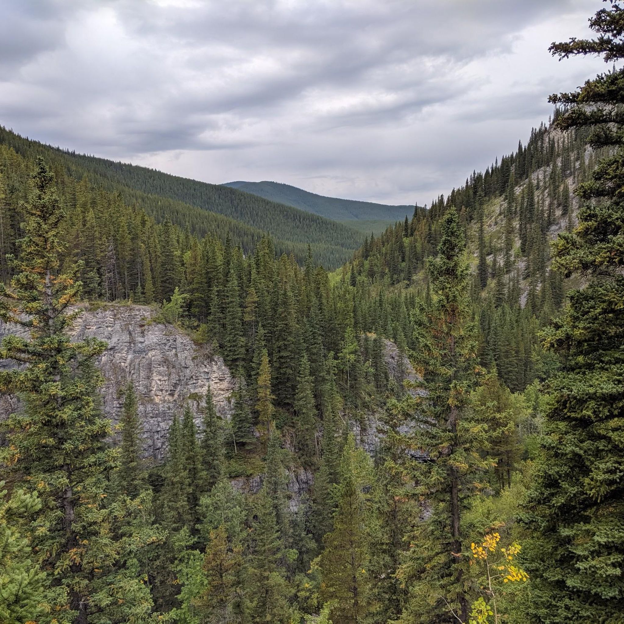
Jogging in Ing'S Mine Provincial Recreation Area offers access to diverse terrain at the base of Prairie Mountain and Moose Mountain. The region features a mix of landscapes, from initial sections along gravel roads to more challenging paths with steeper sections and loose shale. Canyon Creek provides a natural feature guiding some routes, though water crossings can occur. This area is recognized for trail running, providing a natural setting for outdoor activity.
Best jogging routes in Ing'S Mine Provincial Recreation…
Last updated: July 12, 2026
16
runners
Hard run. Very good fitness required. Mostly paved surfaces. Suitable for all skill levels.
19
runners
12.2km
01:35
260m
250m
Moderate run. Good fitness required. Mostly paved surfaces. Suitable for all skill levels.

Sign up for free
6
runners
16.2km
02:19
660m
660m
Hard run. Very good fitness required. Mostly paved surfaces. Suitable for all skill levels.
16
runners
15.2km
01:51
520m
520m
Hard run. Very good fitness required. Mostly accessible paths. Some sure footedness required.
5.0
(1)
3
runners
Hard run. Very good fitness required. Mostly accessible paths. Some sure footedness required.
Get access to more routes and recommendations from other explorers.
Sign up for free
Already have an account?
Our route recommendations are based on thousands of hikes, rides, and runs completed by other people on komoot.
Start today with a free account
Your next adventure awaits.
Login or Signup
Popular around Ing'S Mine Provincial Recreation Area

Frequently Asked Questions
How many running routes are available in Ing'S Mine Provincial Recreation Area?
There are 9 distinct running routes documented in Ing'S Mine Provincial Recreation Area. These routes cater to various fitness levels, with 1 moderate and 8 difficult options.
What kind of terrain can I expect on the jogging trails in Ing'S Mine Provincial Recreation Area?
Joggers can expect a varied terrain. Initial sections of some routes may involve a several-kilometer stretch along a gravel road, offering a relatively flat surface. However, as you progress, especially towards areas like the Canyon Creek Ice Cave, the terrain becomes more challenging with steeper sections, loose shale, and potentially muddy conditions, particularly after precipitation. The area is situated in a mountainous setting at the base of Prairie Mountain and Moose Mountain.
Are there any easy jogging routes suitable for beginners or families?
The majority of routes in Ing'S Mine Provincial Recreation Area are rated as difficult, with only one route classified as moderate: the Running loop from Elbow Falls Provincial Recreation Area. This 12.4 km trail offers varied terrain and is a good option for those looking for a less strenuous run compared to the more challenging ascents in the area. However, visitors should be prepared for unofficial and unmaintained trails.
Can I bring my dog on the running trails in Ing'S Mine Provincial Recreation Area?
While Ing'S Mine Provincial Recreation Area is generally dog-friendly, it's crucial to keep your dog on a leash at all times to protect wildlife and ensure the safety of other trail users. Always practice Leave No Trace principles, including packing out all pet waste.
Are there any circular running routes in the area?
Yes, several popular running routes in Ing'S Mine Provincial Recreation Area are circular. For instance, the Moose Mountain – Buggeration Hill loop from Moose Mountain Trailhead Provincial Recreation Area is a challenging 14.7 km loop, and the Prairie Mountain loop from Elbow Falls Provincial Recreation Area is an 8.2 km difficult loop with significant elevation gain.
What are some notable natural features or landmarks I might see while jogging?
The area offers a scenic backdrop with its mountainous setting at the north base of Prairie Mountain and at the foot of Moose Mountain. Canyon Creek is a prominent natural feature that guides some routes. While slightly outside the PRA boundary, the Canyon Creek Ice Cave is accessed via a route starting within Ing's Mine, offering impressive ice formations and spectacular views from nearby ledges.
Is there parking available, and are there any fees or permits required?
Parking is available at trailheads within or near Ing'S Mine Provincial Recreation Area. However, a Kananaskis Conservation Pass is required to park a vehicle in the area. It's advisable to check the official Kananaskis Country website for current pass requirements and purchase options before your visit.
What is the best time of year to go jogging in Ing'S Mine Provincial Recreation Area?
The best time to go jogging largely depends on trail conditions. While the area can be enjoyed in various seasons, spring and fall often offer pleasant temperatures. However, be aware that routes along Canyon Creek can present numerous water crossings that may become impassable during periods of high runoff, typically in late spring or early summer. Always check current conditions before heading out.
What should I know about trail conditions before heading out for a run?
Many routes in Ing'S Mine Provincial Recreation Area are unofficial and unmaintained. This means you should be prepared for rugged conditions, including loose shale, steep sections, and potentially muddy areas, especially after rain. Water crossings along Canyon Creek can also be a factor, particularly during high runoff. Always wear appropriate footwear and be prepared for changing conditions.
Are there any longer running routes for experienced trail runners?
Yes, experienced trail runners will find several challenging and longer routes. The Powderface Ridge loop from Elbow Falls Provincial Recreation Area is a difficult 16.6 km route with significant elevation gain, and the Moose Mountain – Buggeration Hill loop from Moose Mountain Trailhead Provincial Recreation Area covers 14.7 km with a challenging ascent.
What is the overall difficulty level of running routes in Ing'S Mine Provincial Recreation Area?
The running routes in Ing'S Mine Provincial Recreation Area are predominantly challenging. Out of the 9 available routes, 8 are rated as difficult, and only 1 is moderate. This makes the area particularly appealing to runners seeking a more rugged and adventurous experience with significant elevation changes and varied terrain.
Are there any amenities or facilities available near the jogging trails?
Ing'S Mine Provincial Recreation Area is relatively undeveloped and not equipped with extensive visitor services or designated facilities. Visitors should be prepared to be self-sufficient, bringing their own water, snacks, and any necessary gear. For amenities like cafes or accommodation, you would need to visit nearby communities such as Bragg Creek or Kananaskis Village.
Most popular routes in Ing'S Mine Provincial Recreation Area

Get inspired with the komoot mobile app


Explore more
Browse the best Running Trails & Routes in other regions.
