The best running trails in Rivas
27
runners
5
runs
Jogging in Rivas offers diverse landscapes, situated between the Pacific Ocean and Lake Nicaragua. The region features volcanic terrain, coastal beaches, and lush forests, providing varied environments for running. Ometepe Island, formed by two volcanoes, presents challenging trails and scenic lake views. The Pacific coastline near San Juan del Sur offers beach and coastal running options.
Best jogging routes in Rivas
- The most popular jogging route is Lago – Cerro Chirripó loop from Parqueo Gerber, a 22.8 miles (36.8…
Last updated: July 10, 2026
12
runners
36.7km
06:15
2,370m
2,370m
Hard run. Very good fitness required. Mostly paved surfaces. Suitable for all skill levels.
7
runners
10.6km
01:48
780m
780m
Hard run. Very good fitness required. Mostly paved surfaces. Suitable for all skill levels.

Sign up for free
3
runners
6.27km
00:57
380m
380m
Hard run. Very good fitness required. Mostly paved surfaces. Suitable for all skill levels.
2
runners
8.24km
00:57
250m
250m
Moderate run. Good fitness required. Mostly paved surfaces. Suitable for all skill levels.
3
runners
12.4km
01:18
140m
140m
Moderate run. Good fitness required. Mostly paved surfaces. Suitable for all skill levels.
Our route recommendations are based on thousands of hikes, rides, and runs completed by other people on komoot.
Start today with a free account
Your next adventure awaits.
Login or Signup
Popular around Rivas
Tips from the Community

For hikes to Chirripó or in the surrounding area, it is a good idea to spend at least one night in camp. From San Gerardo de Rivas, the climb to the camp takes 6 to 8 hours, and to the summit another 2.5 hours if you are in good shape. The supplies at the camp are very good; you get wholesome meals and there is a kiosk. You can borrow blankets, towels, etc., thus saving on backpack weight. Luggage transport is also offered, but in my opinion it is not necessary. For the descent, if you are in good shape, you should plan on 1-1.5 hours from the summit and 5-6 hours back to the valley. It is quite a knee-breaker on the way back, but it is worth it. There are hardly any people in the park and the nature is simply unbelievably beautiful. We were there in April and had two days with good weather until late afternoon, after which the clouds move up the mountain. You can park in San Gerardo de Rivas in several private parking lots for little money.
1
0

Crestones base camp is a comfortable place to use for your summit hike of Chirripo. It is also a sizeable complex but does get full at peak times.
1
0
Great comfortable base camp for your hike up Chirripo. Overnight hikers can spend the night at Crestones Base Camp, a rugged lodge situated 11,155 feet (3,400 meters) above sea level and 3.4 miles (5.5 km) from Chirripó’s summit. Although hardly luxurious, Crestones base camp puts Chirripó within the reach of average hikers and makes sunrise summits feasible. All visitors to Chirripó National Park must purchase entrance permits in advance. Cost: $18 per person, per day. Chirripó permits are available through the park’s website: www.sinac.go.cr They do sell out months in advance on busy/popular weekends.
1
2
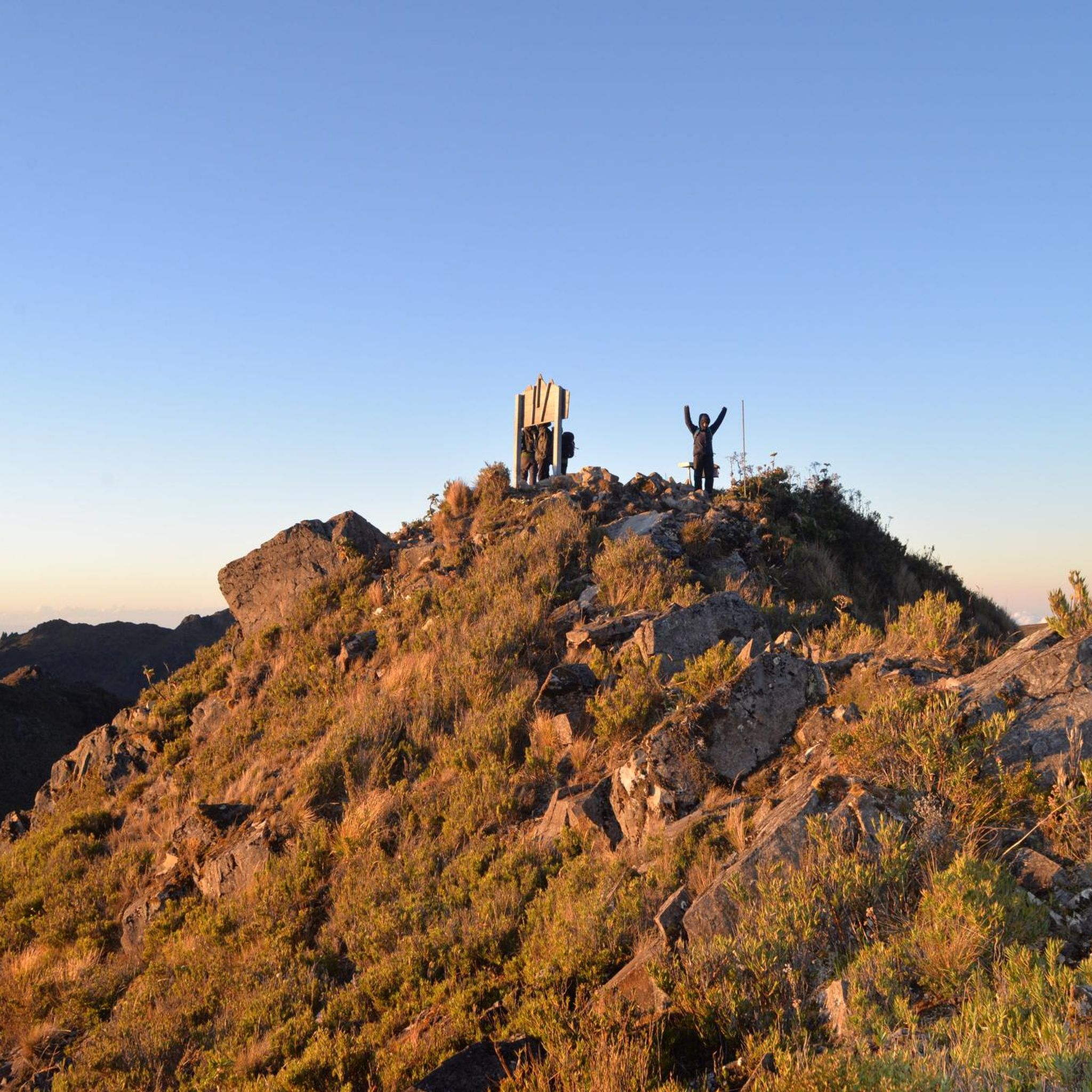
Having come up from the park office in a seven hour slog for 14km and 2000m, we had a 2.30am wake up call at the refuge and hiked for 2hrs to get to the summit of Cerro Chirripo at 5.30am. After watching the sunrise we then decended Chirripo and hiked up Cerro Crestones straight afterwards. A great hike all told with great weather and scenery. We then had a five hour decent from the refuge to the park gate to finish off a hard two days of hiking. A great few days out. For route information click here: https://www.komoot.com/tour/292242878
3
1

The highlight is sunrise on the summit - this requires a start at the base camp at 3:00 a.m. Then you can be back in time for breakfast.
1
1

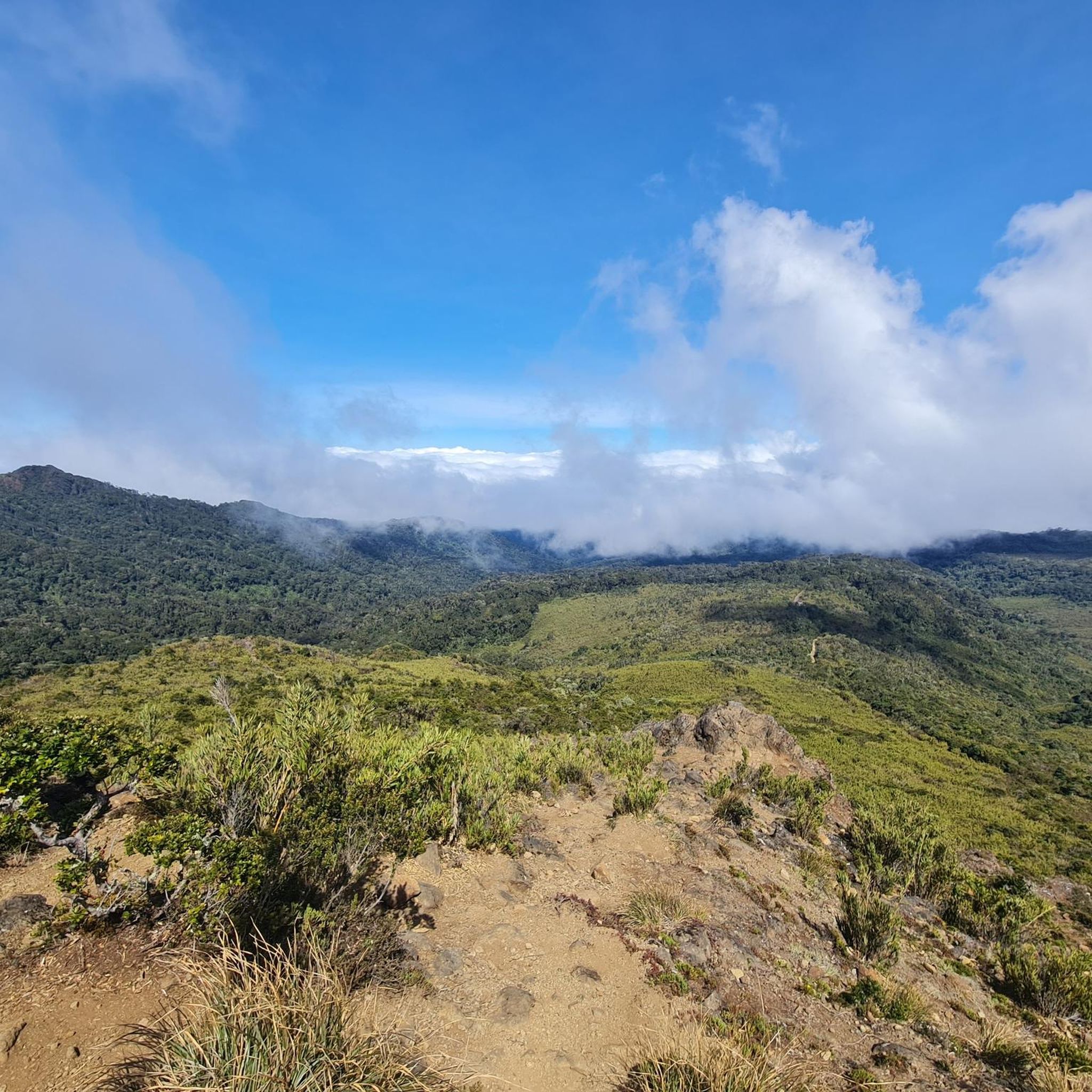
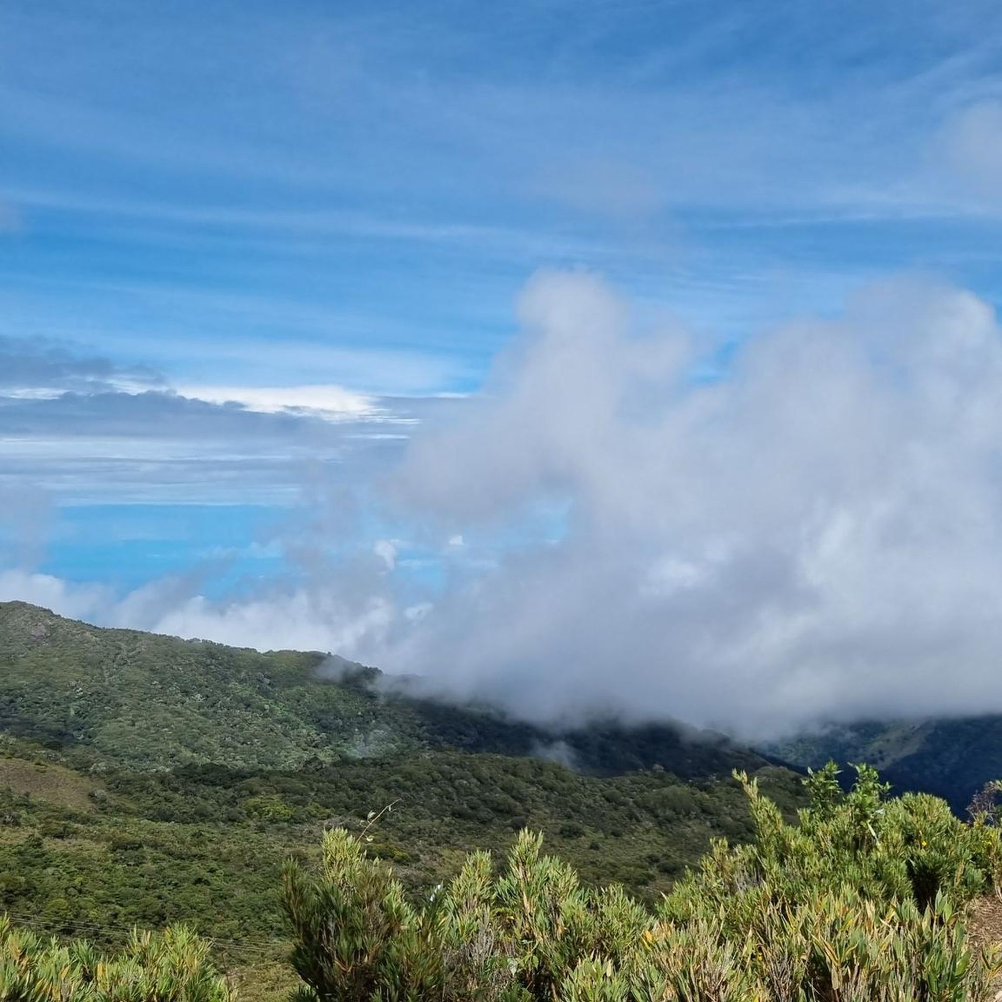
In good weather you can see both oceans. Optimal starting position for this is an ascent in the dry season. In the rainy season, the path is very muddy and it is often very foggy and barely visible on the summit. At the basecamp Crestone it can also have only 15 degrees, a separate sleeping bag is advisable. For the ascents, a permit is required, since only a limited number of people may be in the National Park. The ranger station is located in San Gerardo de Rivas. (Starting point of the tour)
2
1
Frequently Asked Questions
How many running routes are available in Rivas?
Komoot currently features 5 diverse running routes in Rivas. These range from moderate paths to challenging mountain ascents, catering to various fitness levels.
What kind of terrain can I expect on jogging trails in Rivas?
Rivas offers a wide variety of terrain for jogging. You can find routes through volcanic landscapes, along Pacific coastlines, and near the vast Lake Nicaragua. Trails can range from relatively flat beach runs to challenging ascents on volcanic slopes, particularly on Ometepe Island.
Are there any challenging long-distance running routes in Rivas?
Yes, for experienced trail runners seeking a challenge, the Lago – Cerro Chirripó loop from Parqueo Gerber is a difficult 22.8-mile (36.8 km) trail with significant elevation gain through mountainous terrain. It typically takes over 6 hours to complete.
Can I find running routes with scenic viewpoints in Rivas?
Absolutely. The region is known for its stunning natural beauty. Routes on Ometepe Island, for instance, offer breathtaking panoramic views of Lake Nicaragua and its volcanoes. Coastal trails near San Juan del Sur provide ocean vistas, while routes like the Mirador del valle – Cloudbridge loop from San Gerardo wind through cloud forests with notable elevation changes, likely offering scenic overlooks.
Are there any waterfalls or natural springs accessible from running paths in Rivas?
Yes, on Ometepe Island, the San Ramón Waterfall is accessible via a scenic hike, which could be incorporated into a longer run. Additionally, Ojo de Agua, a natural spring-fed pool, is a tranquil destination surrounded by ancient trees, and some trails are found around it, perfect for a refreshing stop after a run.
What is the best time of year for jogging in Rivas, Nicaragua?
The dry season, typically from November to April, is generally considered the best time for outdoor activities like jogging in Rivas. During this period, you'll experience less rain and more comfortable temperatures, making trails more accessible and enjoyable. However, always be prepared for tropical conditions.
Are there any family-friendly running paths in Rivas?
While many routes in Rivas can be challenging, some coastal areas and flatter sections of Ometepe Island might offer more family-friendly options. For example, the beaches of Santo Domingo or Playa Mangos on Ometepe, or the elongated beaches near San Juan del Sur, can provide pleasant, less strenuous environments for a family run or walk.
Are there any moderate running loops available in Rivas?
Yes, for those looking for a moderate challenge, the Running loop from San Ramón Sur is an 8.2 km (5.1 miles) route with moderate elevation, typically completed in just under an hour. Another option is the Running loop from San Isidro de El General, which is 12.4 km (7.7 miles) and also rated moderate.
What kind of wildlife might I encounter while running in Rivas?
Rivas is rich in wildlife, especially on Ometepe Island and in coastal reserves. You might spot howler monkeys and exotic birds in areas like the Charco Verde Nature Reserve. The Istian River marshes are home to caiman, diverse birdlife, and turtles. The La Flor Beach Wildlife Refuge is also famous for mass arrivals of Olive Ridley turtles, offering a unique natural spectacle.
Are there any specific landmarks or points of interest near the running routes?
Yes, several points of interest are near the running routes. For instance, the Crestones Base Camp and the Cerro Chirripó Summit are significant landmarks for those tackling the more challenging mountain trails. The Iggy's Falls is another natural attraction worth noting.
What do other runners enjoy most about jogging in Rivas?
Runners often praise the incredible diversity of landscapes in Rivas, from the challenging volcanic trails of Ometepe Island to the serene coastal runs along the Pacific. The opportunity to combine physical activity with stunning natural beauty and wildlife encounters, such as spotting howler monkeys or enjoying lake views, is frequently highlighted.
Most popular attractions in Rivas

Get inspired with the komoot mobile app


Explore more
Browse the best Running Trails & Routes in other regions.
