The best gravel rides around Dunthorpe
3.7
(3)
118
riders
3
rides
Gravel biking around Dunthorpe offers a diverse landscape characterized by rolling hills, wooded enclaves, and proximity to the Willamette River. The area provides varied terrain suitable for gravel cycling, with a mix of paved and unpaved sections. Natural features like the Tryon Creek State Natural Area contribute to the region's appeal for outdoor enthusiasts. This combination creates an environment with significant potential for gravel biking exploration.
Best gravel bike trails around Dunthorpe
- The most popular gravel bike trail is Leif…
Last updated: July 5, 2026
4.0
(1)
79
riders
Hard gravel ride. Very good fitness required. Mostly paved surfaces. Suitable for all skill levels.
20
riders
Hard gravel ride. Very good fitness required. Mostly paved surfaces. Suitable for all skill levels.

Sign up for free
5.0
(1)
9
riders
Hard gravel ride. Very good fitness required. Mostly paved surfaces. Suitable for all skill levels.
2.0
(1)
9
riders
20.7km
01:21
170m
170m
Moderate gravel ride. Good fitness required. Mostly paved surfaces. Suitable for all skill levels.
Our route recommendations are based on thousands of hikes, rides, and runs completed by other people on komoot.
Start today with a free account
Your next adventure awaits.
Login or Signup

Tips from the Community

Council Crest Park spans 43 acres and is 1,073 feet above sea level, one of Portland's highest points. Visitors can enjoy city views and see five Cascade peaks: Mount Hood, Mount St. Helens, Mount Adams, Mount Jefferson, and Mount Rainier.
1
0

Salmon Street Springs is a popular spot for cyclists to gather. Thursday Night Ride starts there every Thursday at 7:30pm.
0
0

The Broadway Bridge was built in 1913. It was originally black, but was repainted red in 1963.
1
0

This trailhead marks a popular route for hikers in the area. It is .3 miles from the Wild Cherry Trail, .9 miles to the Dogwood Trail and 1.4 miles to the Alder Trail. If you head west, all of these connector trails reach the Wildwood Trail, which offers ample opportunities to create loop variations. It is important to note that parking is limited, especially on the weekends.
0
0
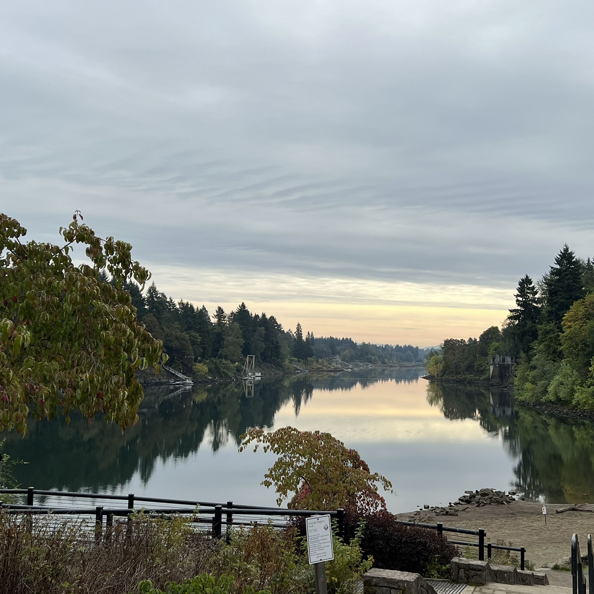
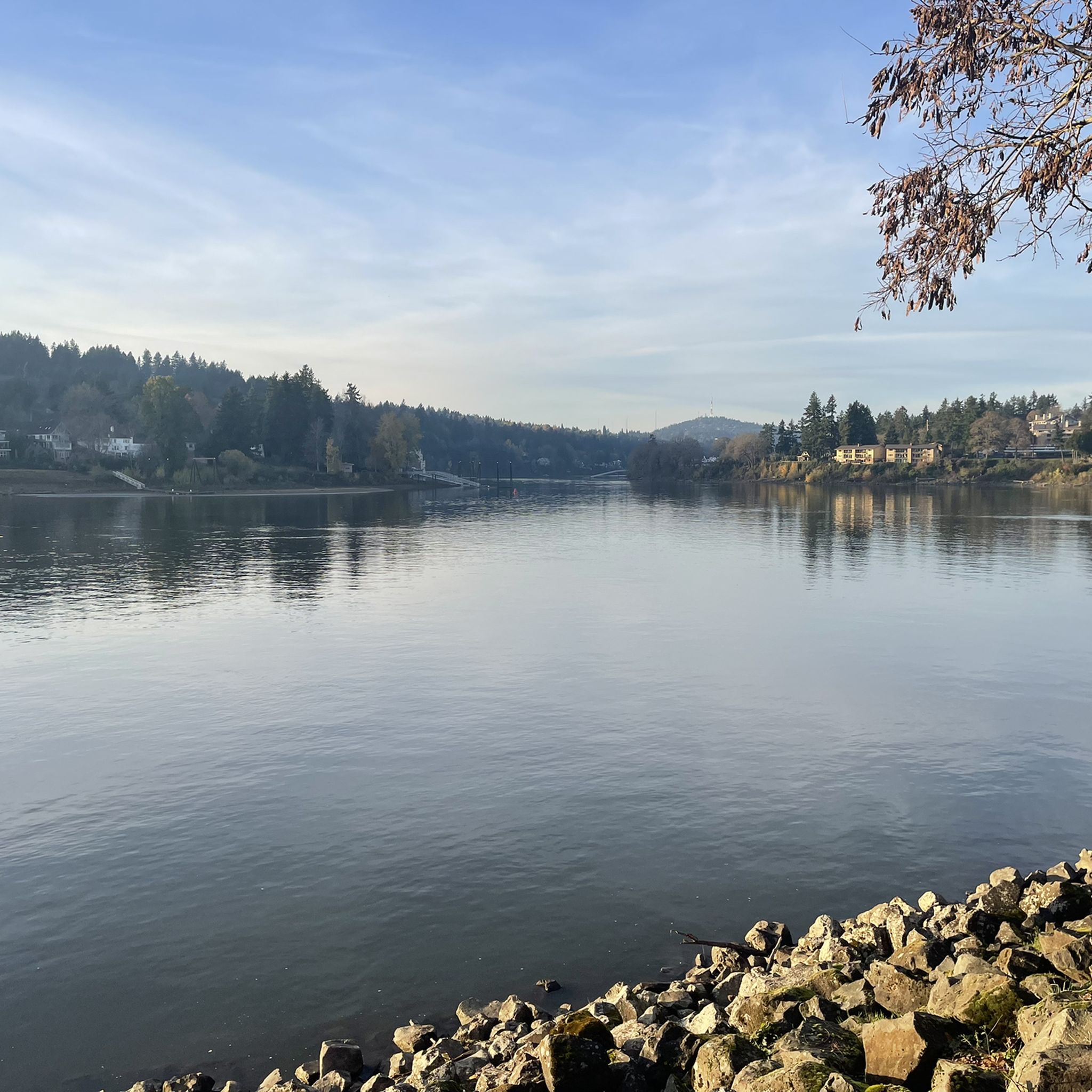
The Willamette River stretches over 255 miles from Cottage Grove in the southern Willamette Valley to Portland, where it meets the Columbia River. The Multnomah Channel branches off near Sauvie Island before joining the Columbia. The Willamette River Greenway offers a few open green spaces along the riverbanks, some with boat launches and basic amenities. Bikers also pass through preserved areas for native wildlife and with scenic views. This trail is a popular destination for biking, walking, and running along its shared paths.
0
0
Built in 1910, the Hawthorne Bridge spans 3,552 feet across the Willamette River with four lanes and is a key part of the city's bike culture. The bridge gives passage to over 30,000 vehicles daily, including 800 TriMet buses, along with more than 8,000 cyclists. During rush hour, bikes can outnumber cars. The wide sidewalks offer great views of the river and skyline. As the oldest vertical-lift bridge in the U.S. and Portland's oldest highway bridge, it was added to the National Register of Historic Places in 2012.
0
0

You can follow the Greenway for about two miles along the bank of the Willamette through downtown Portland. The trail takes you right along the water and is shared with hikers and dog walkers. The trail passes through a couple nice riverside parks and connects to plenty of other great cycling paths and roads.
0
0

This trail is a classic in Forest Park. It is popular with runners as well as walkers and cyclists. The trail is well maintained and runs through the forest from start to end, which makes it a great option for hot days.
1
0
Frequently Asked Questions
How many gravel bike trails are available around Dunthorpe?
There are several gravel biking routes around Dunthorpe, with komoot featuring 4 detailed tours in the immediate area. These routes offer a variety of experiences for gravel cyclists.
What is the general difficulty level of gravel biking routes in Dunthorpe?
The gravel biking routes featured around Dunthorpe are generally considered difficult. They often include significant elevation changes and varied terrain, making them suitable for experienced riders looking for a challenge. For example, the Leif Erikson Drive – Northwest Leif Erikson Drive loop from PSU South/Southwest 6th & College covers over 67 km with more than 1400 meters of elevation gain.
What kind of terrain can I expect on gravel bike trails near Dunthorpe?
You can expect a diverse mix of terrain, including rolling hills, wooded enclaves, and sections along the Willamette River. While Dunthorpe itself is residential, the surrounding areas offer a blend of paved and unpaved roads, with access to natural areas like Tryon Creek State Natural Area and the extensive trails of Forest Park, which include dedicated car-free gravel roads.
Are there any long-distance gravel biking options in the Dunthorpe area?
Yes, several routes offer significant distances. For instance, the Blumenauer Bridge – Eastbank Esplanade loop from Convention Center is over 60 km long, providing an extensive ride through varied landscapes.
What do other gravel bikers say about the routes around Dunthorpe?
The routes in this area are rated by the komoot community with an average score of 3.0 stars. Riders often appreciate the challenging climbs, scenic views, and the opportunity to explore both urban and natural environments on their gravel bikes.
What natural features or landmarks can I see while gravel biking around Dunthorpe?
The area is rich in natural beauty and interesting landmarks. You might encounter the Tryon Creek forest, the scenic Clackamas River, or views of Oswego Lake. The Sellwood Bridge is another notable landmark in the vicinity.
Are there any unique or 'hidden gem' features on the gravel trails near Dunthorpe?
Yes, the region is known for some unique features. A 'train tunnel under the Dunthorpe neighborhood' is mentioned as a hidden gem for gravel riders, offering a distinctive experience. While not directly in Dunthorpe, the nearby Lake Oswego area also features punchy singletrack sections that add to the adventure.
What is the best time of year for gravel biking in Dunthorpe?
The rolling hills and wooded areas around Dunthorpe are enjoyable throughout much of the year. Spring and fall offer pleasant temperatures and vibrant scenery. Summer can be warm but is generally good, while winter might bring wetter conditions, requiring appropriate gear.
Is there public transport access to gravel biking trails near Dunthorpe?
Dunthorpe is located within the Portland metropolitan area, which has public transport options. While direct access to specific trailheads might vary, you can often use public transport to get to areas like downtown Portland or the South Waterfront, which serve as starting points for routes such as the Leif Erikson Drive – Northwest Leif Erikson Drive loop from South Waterfront/South Moody.
Where can I find parking for gravel biking in Dunthorpe?
Parking availability will depend on your chosen starting point. For routes that begin in more urban areas like Portland, public parking garages or street parking might be available. For routes closer to natural areas like Tryon Creek State Natural Area, designated parking lots are typically provided.
Are there any family-friendly or beginner-friendly gravel biking routes in Dunthorpe?
The routes specifically featured in this guide are generally rated as difficult due to significant elevation and distance. While Dunthorpe's proximity to areas like Tryon Creek State Natural Area offers a 3-mile paved bicycle path, dedicated beginner-friendly gravel routes within the immediate Dunthorpe area are less common among the featured tours. Riders new to gravel biking might consider shorter, less hilly sections of trails or exploring paved paths first.
Can I bring my dog on gravel bike trails near Dunthorpe?
Policies regarding dogs on trails vary. While natural areas like Tryon Creek State Natural Area are generally dog-friendly on leash, specific gravel biking routes, especially those that might pass through private land or sensitive ecosystems, may have restrictions. It's always best to check the specific rules for each trail or park you plan to visit.
Most popular attractions around Dunthorpe

Get inspired with the komoot mobile app


Explore more
Browse the best Gravel rides in other regions.
