The best road cycling routes around Edgemere
3.5
(2)
81
riders
4
rides
Road cycling routes around Edgemere feature diverse landscapes, including waterfront views and accessible green spaces. The terrain primarily consists of well-paved surfaces, offering smooth rides for cyclists. Routes often incorporate natural surroundings like Marshy Point Nature Center and provide views of the Chesapeake Bay shoreline. The area offers varied elevation gains, suitable for different fitness levels.
Best road cycling routes around Edgemere
- The most popular road cycling route is Hammerman Area – Marshy Point Nature Center loop from Bowleys Quarters…
Last updated: July 2, 2026
28
riders
Moderate road ride. Great for any fitness level. Some segments of this route may be unpaved and difficult to ride.
3.0
(1)
30
riders
20.5km
00:54
80m
80m
Easy road ride. Great for any fitness level. Mostly well-paved surfaces and easy to ride.

Sign up for free
5
riders
21.7km
00:59
170m
170m
Easy road ride. Great for any fitness level. Mostly well-paved surfaces and easy to ride.
16
riders
35.6km
01:36
290m
290m
Easy road ride. Great for any fitness level. Mostly well-paved surfaces and easy to ride.
Our route recommendations are based on thousands of hikes, rides, and runs completed by other people on komoot.
Start today with a free account
Your next adventure awaits.
Login or Signup
Popular around Edgemere
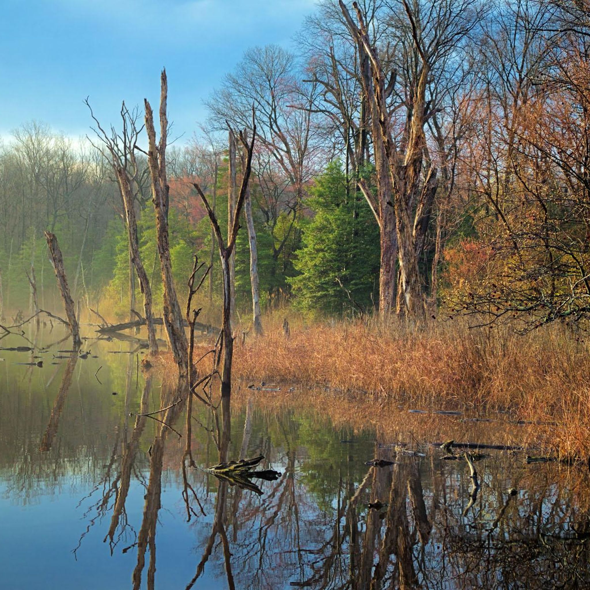
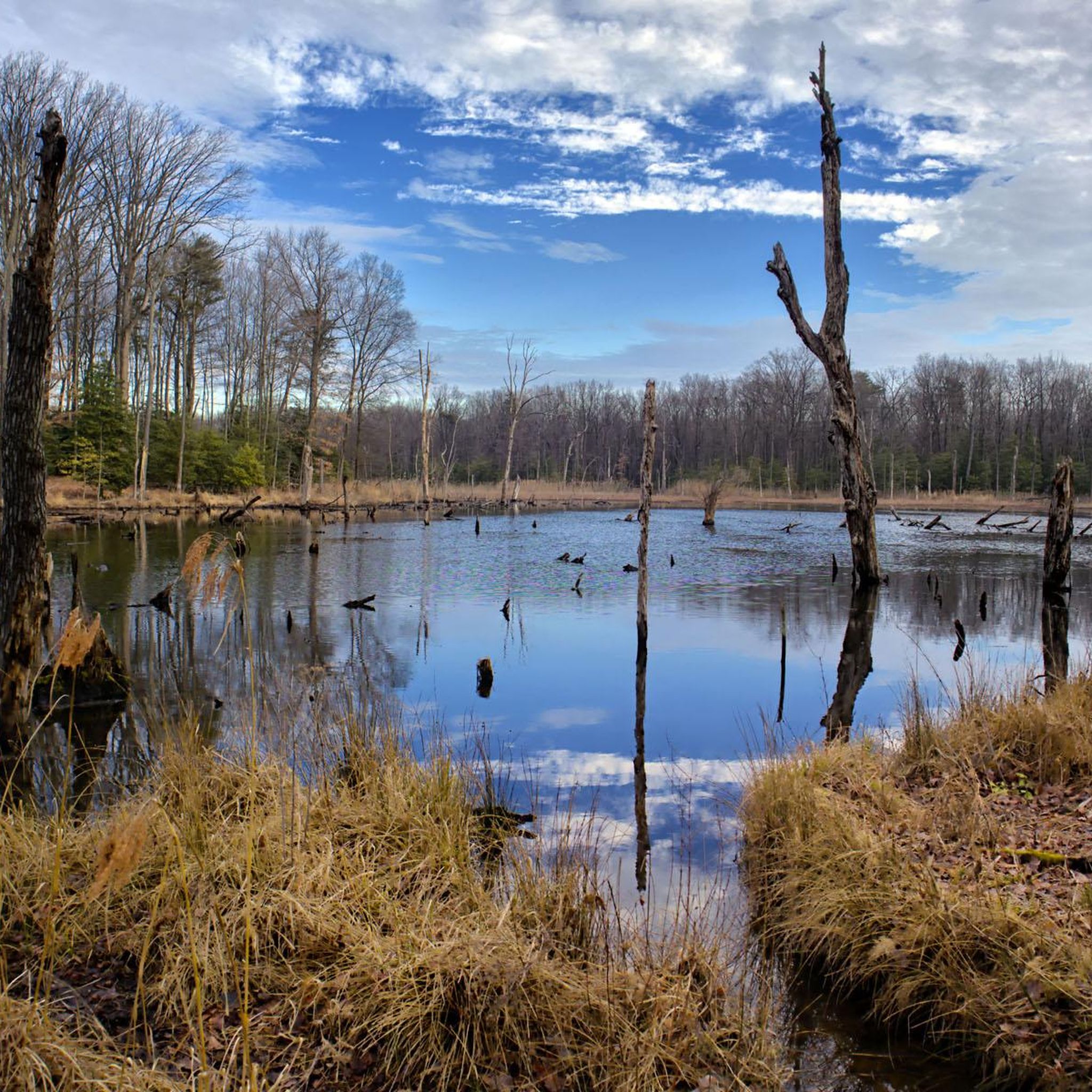
Tips from the Community

The new loop around the lake is a great way to add miles to this short but pretty ride.
0
0

Fort McHenry, in Baltimore, is a historic site where the Star-Spangled Banner was inspired, featuring a preserved fort, museum exhibits, and re-enactments.
0
0
Fort McHenry Sea Wall Trail in Baltimore, offers scenic waterfront views, historical landmarks, and a peaceful walking path around the iconic fort.
0
0

Jones Falls is actually a stream, not a waterfall. It was impounded to create Lake Roland, but also flows into Baltimore and eventually the ocean. There's also a 10-mile pedestrian trail, Jones Falls Trail, that follows the stream and links into other green spaces, including Druid Hill Park.
0
0

The Station North Tool Library has a great bike toolset outside that is useful to know about when riding around Baltimore. The Station North Tool Library is also a great general resource. For just a few dollars a month you can become a member and borrow any tool for plumbing, gardening, home maintenance, car repair, etc., they have. They also offer workshops on how to use tools and perform basic home and car maintenance jobs.
0
0

The tower was built in 1870 to be a landmark destination. There used to be a spiral staircase leading up to the top of the tower which granted views across Baltimore, but it was dismantled due to safety concerns when the tower's structure was reinforced.
0
0
As you cross over Jones Falls you get a great view of the Lake Roland Dam. The dam was completed in 1861 to meet the needs of Baltimore's growing population and today stands as a historical landmark.
0
0
This is a beautiful waterside park that hosts a memorial to the Korean War. From here the waterfront promenade begins to make its way along the dockside into center harbor, and as you set off you get great views across Northwest Harbor to Fort McHenry.
0
0
Frequently Asked Questions
What kind of terrain can I expect on road cycling routes around Edgemere?
The road cycling routes around Edgemere primarily feature well-paved surfaces, ensuring a smooth ride. While most routes are paved, some segments, particularly around natural areas like the Hammerman Area, might include unpaved sections. You'll find a mix of waterfront paths, accessible green spaces, and routes near nature centers.
Are there road cycling routes suitable for beginners or those looking for an easy ride?
Yes, Edgemere offers routes suitable for all fitness levels. For an easier ride, consider the Baltimore Waterfront – Jones Falls loop from Fort McHenry National Monument and Historic Shrine, which is 21.0 km long and takes about 58 minutes. Another easy option is the Druid Lake – Druid Hill Park loop from Johns Hopkins Hospital, covering 23.4 km with 130m elevation gain, primarily on well-paved surfaces.
What are some scenic highlights or attractions I can see while road cycling in Edgemere?
Many routes offer picturesque views, especially along the waterfront. You can enjoy harbor views on routes like the Baltimore Waterfront – Riverside Park loop. The Broadway Pier itself offers excellent views and occasionally classic ships. Additionally, routes may pass by natural areas like North Point State Park, known for its extensive wetlands and diverse wildlife, and Marshy Point Nature Center.
Are there any circular road cycling routes in the Edgemere area?
Yes, many of the road cycling routes around Edgemere are designed as loops, allowing you to start and end at the same point. Examples include the Hammerman Area – Marshy Point Nature Center loop from Bowleys Quarters and the Broadway Pier – Station North Tool Library loop from Highlandtown.
What is the best time of year for road cycling in Edgemere?
While specific seasonal advice isn't provided, Edgemere's diverse landscapes, including waterfronts and green spaces, suggest that spring and fall would offer pleasant temperatures and vibrant scenery. Summer can also be enjoyable, especially for routes with waterfront breezes. Winter cycling is possible, but riders should check local conditions for ice or snow.
How long are the road cycling routes in Edgemere?
The road cycling routes in Edgemere vary in length to suit different preferences. You can find routes ranging from approximately 21 km (13.1 miles) like the Baltimore Waterfront – Jones Falls loop, up to about 35.9 km (22.3 miles) for the Hammerman Area – Marshy Point Nature Center loop.
Are there any family-friendly road cycling options in Edgemere?
Routes with well-paved surfaces and lower elevation gains are generally suitable for families. The Druid Lake – Druid Hill Park loop from Johns Hopkins Hospital, an easy 19.0 km ride, is primarily on well-paved surfaces and could be a good option for families.
What are the elevation gains like on Edgemere's road cycling routes?
Elevation gains on Edgemere's road cycling routes vary, offering options for different fitness levels. You can expect moderate gains, such as around 90m on the Baltimore Waterfront – Riverside Park loop, up to approximately 240m on routes like the Jones Falls – Druid Hill Park loop (mentioned in region research). This variety allows cyclists to choose routes that match their desired challenge.
What do other road cyclists enjoy most about road cycling in Edgemere?
Road cyclists often appreciate the diverse landscapes, including waterfront views and accessible green spaces. The presence of well-paved surfaces and routes that incorporate natural surroundings like Marshy Point Nature Center are frequently highlighted. The variety of options, from easy rides to moderate challenges, also contributes to a positive experience for many.
Are there any historical sites or landmarks accessible by road bike in the Edgemere area?
Yes, several routes offer access to historical sites and landmarks. For instance, the Baltimore Waterfront – Riverside Park loop starts from Fort McHenry National Monument and Historic Shrine, a significant historical location. You might also pass by the Patterson Park Observatory (The Pagoda) on some urban-adjacent routes.
Can I find routes that combine urban and natural landscapes?
Absolutely. Edgemere's road cycling network is known for blending urban and natural environments. Routes like the Baltimore Waterfront – Jones Falls loop from Fort McHenry National Monument and Historic Shrine lead through both cityscapes and natural areas, offering a varied cycling experience.
Most popular routes around Edgemere
Most popular attractions around Edgemere

Get inspired with the komoot mobile app


Explore more
Browse the best Road cycling routes in other regions.
