The best walks and hikes in Stormyra Naturreservat
4.4
(13)
50
hikers
9
hikes
Hiking in Stormyra Naturreservat offers diverse trails through a landscape characterized by significant wetland areas and marsh types. The reserve features terrain-covering sections, including marsh areas surrounded by rocky hills and moist heathlands. These natural features provide varied hiking experiences, from easier paths to more strenuous routes with varying elevation gains. The terrain includes both gentle gradients and more challenging ascents.
Best hiking trails in Stormyra Naturreservat
- The most popular hiking route is Bench at Riptjønna – Nordre Riptjønnåsen loop from Ripan naturreservat, a 3.0 miles (4.8 km) trail that takes 1 hour 15 minutes to complete. This easy path offers a gentle introduction to the reserve's natural environment.
- Another top favourite among local hikers is Tydalstoppen loop from Flattron, a moderate 4.2 miles (6.8 km) path. This route features an elevation gain of 1155 feet (352 meters) and takes approximately 2 hours 18 minutes, offering views over the varied terrain.
- Local hikers also love the Tron loop from Flattron, a 3.8 miles (6.2 km) trail leading through areas with an elevation gain of 1230 feet (375 meters), often completed in about 2 hours 15 minutes.
- Hiking in Stormyra Naturreservat is defined by wetlands, marsh areas, and rocky hills, offering diverse trails for exploration. The network provides options for various ability levels, from easy strolls to more challenging ascents.
- The routes in Stormyra Naturreservat are highly rated by the komoot community with an average score of 4.8 stars from 7 reviews. More than 32 hikers have used komoot to explore Stormyra Naturreservat's varied terrain.
Last updated: October 17, 2026
4.8
(6)
14
hikers
4.69km
01:13
30m
30m
Easy hike. Great for any fitness level. Easily-accessible paths. Suitable for all skill levels.
4.7
(3)
14
hikers
6.80km
02:18
350m
350m
Moderate hike. Good fitness required. Easily-accessible paths. Suitable for all skill levels.

4.0
(2)
7
hikers
6.83km
02:26
390m
390m
Moderate hike. Good fitness required. Easily-accessible paths. Suitable for all skill levels.
5
hikers
10.3km
03:23
470m
470m
To the Bratthøa summit is a moderate 6.4-mile hike with 1546 feet of gain, offering spectacular mountain ridge views near Savalen, Norway.
4.0
(2)
4
hikers
4.95km
01:17
30m
30m
Easy hike. Great for any fitness level. Easily-accessible paths. Suitable for all skill levels.
Get access to more routes and recommendations from other explorers.
Already have an account?
Our route recommendations are based on thousands of hikes, rides, and runs completed by other people on komoot.
Start today with a free account
Your next adventure awaits.
Tips from the Community

This bridge in Tynset provides the crossing over the Glomma, Norway's major river. The bridge is big and prominent, with an interesting architecture while offering good views of the wide river and the surrounding townscape.
0
0

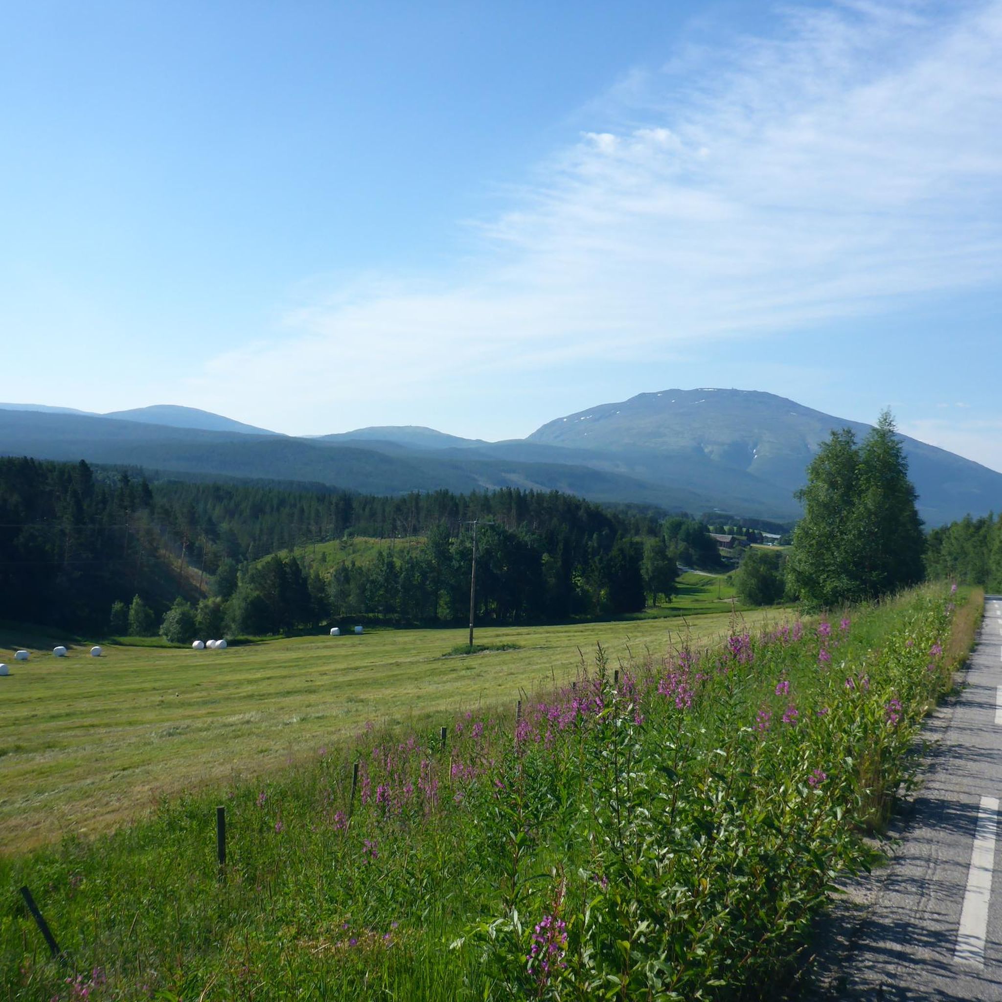
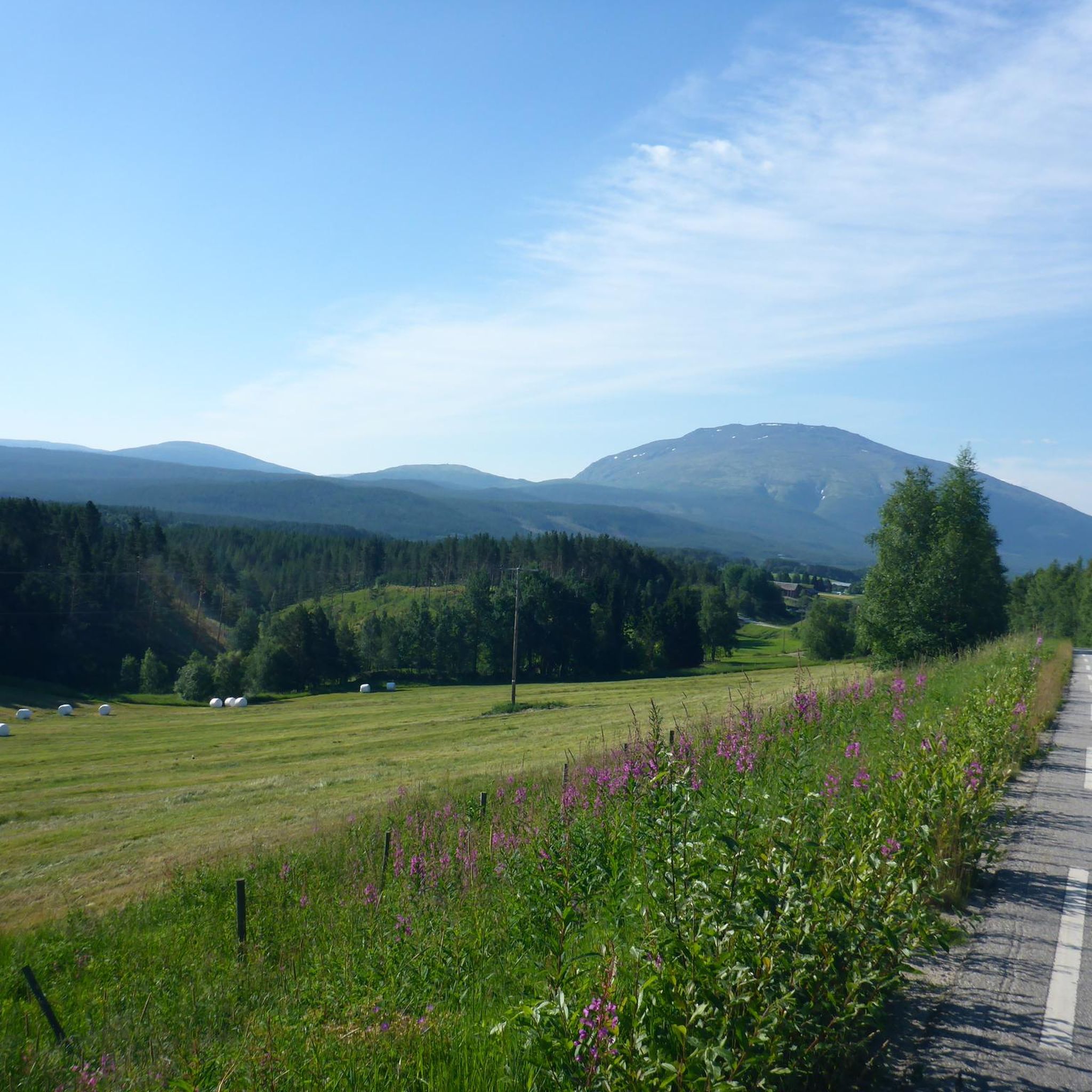
This path reaches the summit of Bratthøa, the mountain of Tynsen.
0
0

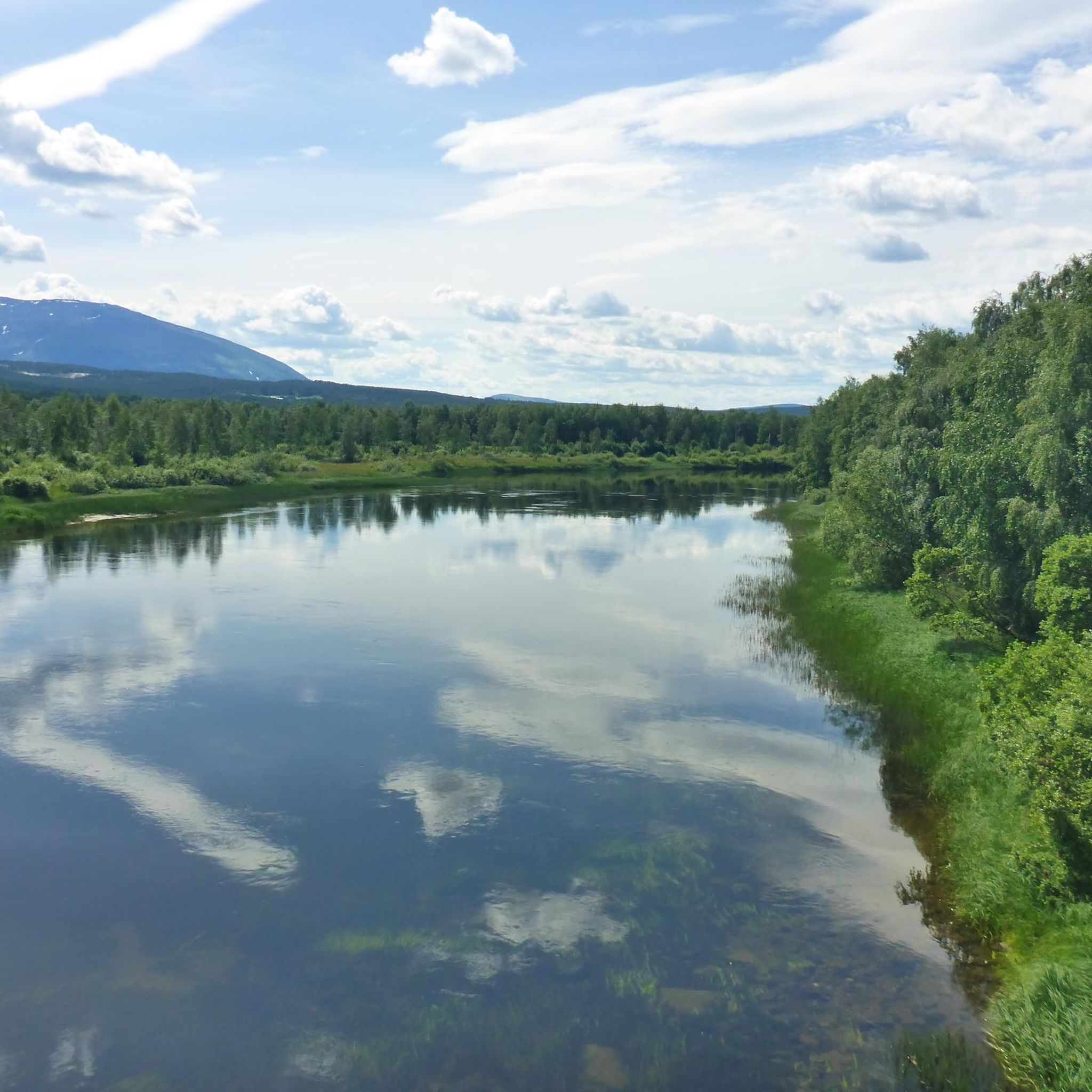
The Glomma is the largest river in Scandinavia and the longest river in Norway.
1
0

The Glomma (or Glåma) is the longest and widest river in Norway with a length of 601 km and a width of up to 1.5 km. It rises in the municipality Røros and winds its way through the Norwegian Fjell down to Fredrikstad in the southeast of Norway. He accompanies the pilgrim walker on the Østerdalsleden.
0
0
Frequently Asked Questions
How many hiking trails are available in Stormyra Naturreservat?
Stormyra Naturreservat offers several hiking trails, with a total of 8 routes currently available on komoot. These range from easy strolls to more challenging moderate ascents.
What kind of terrain can I expect when hiking in Stormyra Naturreservat?
The terrain in Stormyra Naturreservat is characterized by significant wetland areas and diverse marsh types, often surrounded by rocky hills and moist heathlands. You'll find a mix of gentle gradients and more challenging ascents, providing varied hiking experiences.
Are there any easy hiking routes suitable for beginners or families?
Yes, there is an easy route perfect for a gentle introduction to the reserve. Consider the Bench at Riptjønna – Nordre Riptjønnåsen loop from Ripan naturreservat, which is 4.8 km long and takes about 1 hour 15 minutes to complete.
What is the best time of year to go hiking in Stormyra Naturreservat?
While specific seasonal details for Stormyra (Lapphaugen) are not provided, generally, the best time for hiking in similar Norwegian nature reserves is during the warmer months, typically from late spring to early autumn (May to September), when trails are clear of snow and weather conditions are more favorable.
Are there any circular hiking routes in Stormyra Naturreservat?
Yes, many of the routes in the area are loops. For example, the easy Bench at Riptjønna – Nordre Riptjønnåsen loop from Ripan naturreservat and the moderate Tydalstoppen loop from Flattron are both circular trails.
What do other hikers say about the trails in Stormyra Naturreservat?
The trails in Stormyra Naturreservat are highly rated by the komoot community, with an average score of 4.8 stars from 7 reviews. Hikers often appreciate the diverse terrain and the opportunity to explore the unique wetland landscapes.
Are there any longer, more challenging hikes for experienced hikers?
For those seeking a longer, moderate challenge, the Bratthøa Summit Trail is a good option. It spans over 10 km with an elevation gain of 471 meters, typically taking around 3 hours 22 minutes to complete.
What kind of natural features or wildlife can I expect to see?
Stormyra Naturreservat is established to preserve important wetland areas. You can expect to see marsh areas, rocky hills, and moist heathlands. These environments often support diverse birdlife, including gulls and eider ducks, and various wetland flora like common bell heather and sedges.
Are dogs allowed on the hiking trails in Stormyra Naturreservat?
While specific rules for Stormyra (Lapphaugen) Naturreservat are not detailed, generally in Norwegian nature reserves, dogs are often allowed but must be kept on a leash, especially during nesting seasons for birds (typically April 1 to August 20) and when near livestock. Always check local signage for specific regulations.
Is there public transport access to Stormyra Naturreservat?
Information regarding specific public transport routes directly to Stormyra (Lapphaugen) Naturreservat is not readily available. It is advisable to check local bus schedules or consider driving, as many nature reserves in Norway are best accessed by private vehicle.
Where can I find parking for the hiking trails?
Specific parking locations for Stormyra (Lapphaugen) Naturreservat are not detailed in the provided information. However, for routes like the Tydalstoppen loop from Flattron or the Tron loop from Flattron, starting points often have designated parking areas nearby. It's recommended to check the komoot tour details for specific trailhead parking information.
Are there any moderate hikes with significant elevation gain?
Yes, several moderate hikes offer good elevation gain. The Tron loop from Flattron, for instance, features an elevation gain of 375 meters over 6.2 km, taking approximately 2 hours 15 minutes.

Get inspired with the komoot mobile app


Explore more
Browse the best Hikes in other regions.
