The best road cycling routes around Area E (Eagle River Valley)
24
riders
4
rides
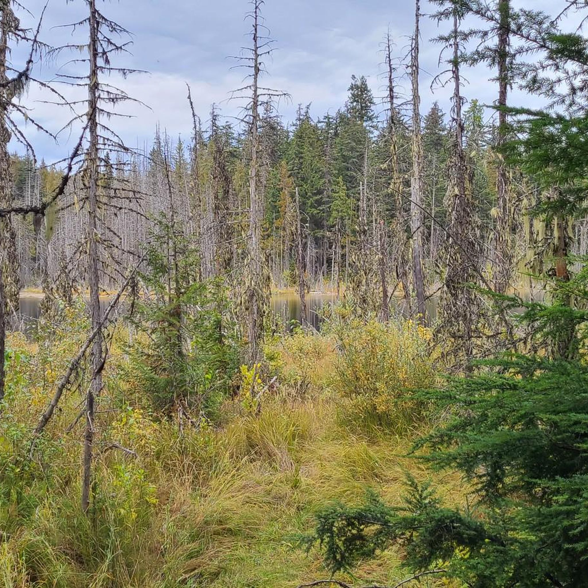
Road cycling around Area E (Eagle River Valley) features routes that traverse scenic river valleys and pass by expansive lakes. The terrain includes moderate elevation changes, characteristic of a valley landscape with surrounding hills. Road cyclists can expect a mix of open stretches and routes that follow the contours of the Shuswap River and Shuswap Lake. This region provides a natural setting for road cycling with varied scenery.
Best road cycling routes around Area E (Eagle River Valley)
- The most…
Last updated: October 20, 2026
15
riders
90.6km
04:45
730m
730m
Moderate road ride. Good fitness required. Mostly well-paved surfaces and easy to ride.
7
riders
50.7km
02:55
570m
570m
Moderate road ride. Good fitness required. Mostly well-paved surfaces and easy to ride.

1
riders
79.5km
03:55
940m
930m
Hard road ride. Very good fitness required. Mostly well-paved surfaces and easy to ride.
1
riders
81.0km
03:46
760m
760m
Moderate road ride. Good fitness required. Mostly well-paved surfaces and easy to ride.
Our route recommendations are based on thousands of hikes, rides, and runs completed by other people on komoot.
Start today with a free account
Your next adventure awaits.
Popular around Area E (Eagle River Valley)

Tips from the Community

This urban gem features a paved walking path all the way around the lake, a lovely fountain, picnic tables right off 6th Street NE, and a Japanese friendship gate.
0
0

Shuswap Lake, which has more than 250 miles of navigable shoreline, is home to several species of salmonids, including chinook salmon, coho, sockeye, rainbow trout, and lake trout. These fish are of great importance for recreational fishing in the area.
1
0
Salmon Arm is a community located on the south arm of Shuswap Lake in the Thompson Okanagan region, British Columbia. This lake is known for its recreational activities, including water sports, fishing, and hiking.
1
0
Frequently Asked Questions
How many road cycling routes are available in Area E (Eagle River Valley)?
There are currently 3 road cycling routes available in Area E (Eagle River Valley) on komoot, all rated as moderate difficulty.
What is the best season for road biking in Area E (Eagle River Valley)?
The Eagle River Valley, with its river valleys and lakes, is generally best for road cycling during the warmer months, typically from late spring through early autumn. This period offers the most favorable weather conditions for enjoying the scenic routes.
Are there any challenging road bike trails in Area E (Eagle River Valley)?
The current selection of road cycling routes in Area E (Eagle River Valley) are all rated as moderate. They feature varied terrain with moderate elevation changes characteristic of a valley landscape, suitable for cyclists looking for a good workout without extreme difficulty.
Are there family-friendly road bike trails in Area E (Eagle River Valley)?
While all current routes are rated moderate, the region's scenic river valleys and lake views can be enjoyable for families with older children or those comfortable with moderate distances. Routes like the Finz Restaurant, Shuswap Lake loop from Shuswap Lake offer picturesque views that can appeal to a family outing.
What kind of scenery can I expect on road cycling routes in Area E (Eagle River Valley)?
Road cycling in Area E (Eagle River Valley) offers diverse natural scenery, primarily characterized by routes that traverse scenic river valleys and pass by expansive lakes, such as Shuswap Lake and Waby Lake. You'll experience a mix of open stretches and routes that follow the contours of the Shuswap River, with rolling hills in the background.
Are there any loop road bike routes in Area E (Eagle River Valley)?
Yes, all the featured road cycling routes in Area E (Eagle River Valley) are loops. Examples include the Shuswap River – Waby Lake loop from Salmon Arm and the Shuswap River – Waby Lake loop from Sicamous, providing convenient circular journeys.
What can I see along the road cycling routes in Area E (Eagle River Valley)?
Beyond the natural beauty of the river valleys and lakes, you can explore various points of interest. Notable attractions in the wider region include the beautiful Begbie Falls and Margaret Falls, or the unique Revelstoke Entrance with Lion and Bear Statues.
Are there any quiet road bike trails in Area E (Eagle River Valley)?
The routes in Area E (Eagle River Valley) are known for their natural settings, often following river valleys and lake shores. While specific traffic levels can vary, the focus on natural landscapes suggests many stretches offer a quieter cycling experience away from major thoroughfares.
What do other road cyclists enjoy most about road cycling in Area E (Eagle River Valley)?
Cyclists using komoot to explore Area E (Eagle River Valley) often praise the region's varied terrain, which includes scenic river valleys and expansive lakes. The routes offer a natural setting with moderate elevation changes, providing an engaging experience for road cyclists.
Are there options for longer road cycling routes in Area E (Eagle River Valley)?
Yes, for those seeking longer rides, routes like the Shuswap River – Waby Lake loop from Sicamous cover approximately 50.5 miles (81.2 km), offering a substantial journey through the region's landscapes.
What are the typical road conditions for cycling in Area E (Eagle River Valley)?
The road cycling routes in Area E (Eagle River Valley) generally consist of paved surfaces suitable for road bikes. As with any region, conditions can vary, so it's always advisable to check local reports for recent weather impacts or road maintenance before heading out.
Most popular routes around Area E (Eagle River Valley)
Most popular attractions around Area E (Eagle River Valley)

Get inspired with the komoot mobile app


Explore more
Browse the best Road cycling routes in other regions.
