The best gravel rides around Aux Marais
20
riders
5
rides
Gravel bike trails around Aux Marais are characterized by a landscape of rolling hills, agricultural plains, and forested sections within the Oise department of France. The region features varied terrain, including routes that traverse the Plateau Picard, offering gentle ascents and descents. Water bodies like the Plan d'Eau du Canada provide scenic points along some paths. This area offers a mix of unpaved roads and forest tracks suitable for gravel cycling.
Best gravel bike trails around Aux Marais
- The most…
Last updated: July 13, 2026
3
riders
65.3km
04:55
330m
330m
Moderate gravel ride. Good fitness required. Mostly paved surfaces. Suitable for all skill levels.
70.2km
05:44
520m
480m
Hard gravel ride. Very good fitness required. Mostly paved surfaces. Suitable for all skill levels.

Sign up for free
7
riders
34.3km
02:25
270m
270m
Moderate gravel ride. Good fitness required. Mostly paved surfaces. Suitable for all skill levels.
5
riders
18.1km
01:07
90m
90m
Easy gravel ride. Great for any fitness level. Mostly paved surfaces. Suitable for all skill levels.
5
riders
55.6km
03:26
450m
450m
Moderate gravel ride. Good fitness required. Mostly paved surfaces. Suitable for all skill levels.
Our route recommendations are based on thousands of hikes, rides, and runs completed by other people on komoot.
Start today with a free account
Your next adventure awaits.
Login or Signup



Tips from the Community

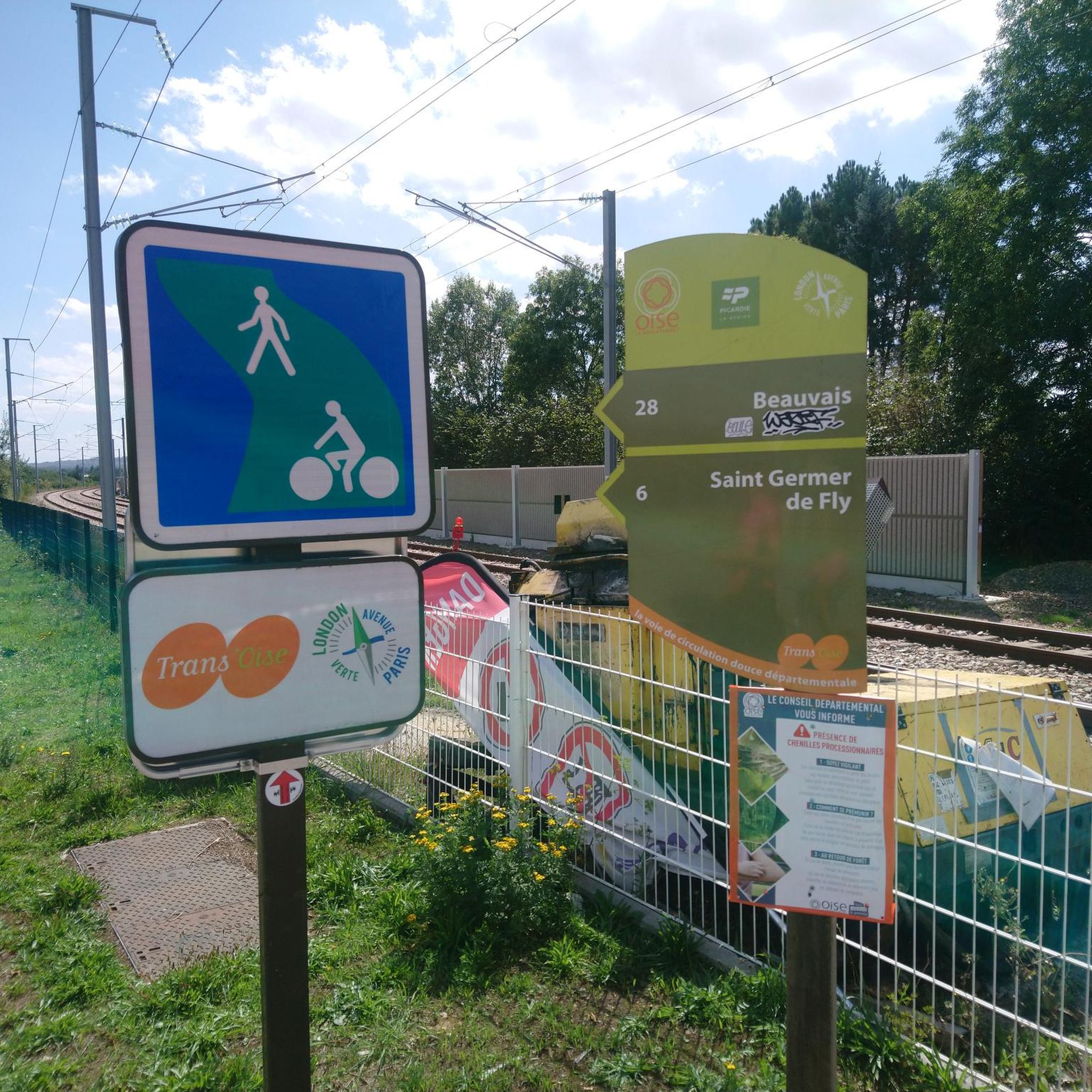
I'm surprised by the quality of the V16a's finish. Kudos to those who maintain it and thanks to those who ride it.
0
0

The Beauvaisis Steam Train is a tourist railway created by the Museum of Steam Trams and French Secondary Railways (MTVS). It began operating in 2017 from Crèvecœur-le-Grand and runs along part of the old line from Saint-Omer-en-Chaussée to Vers, which is now approximately four kilometers long. Thanks to the work of volunteers, this historic train brings the era of steam trams back to life and offers a picturesque ride through the heart of the Oise countryside.
0
0
Located 2.5 kilometers south of Breteuil-sur-Noye, the ancient site of Vendeuil-Caply covers nearly 130 hectares and includes parts of the neighboring communes. Its most remarkable monument is the large Gallo-Roman theater from the 1st and 2nd centuries, now owned by the Oise Departmental Council. Nearby is the Oise Archaeological Museum, inaugurated in 2011.
0
0
Built in the 15th and 16th centuries, Troissereux Castle captivates with its unique architecture. It houses the "Tour du Temps," topped with an ancient medieval clock, a listed historical monument. It is surrounded by a landscaped park of more than ten hectares, also listed.
0
0

A wall now traces its original layout onto the ground, offering visitors a glimpse into its religious and architectural past.
1
0
The pretty fountain brings wonderful cooling to the busy square on hot days! ⛲️
4
0

Leaving Beauvais to the northwest, along the road and then the cycle path of the Saint-Quentin marsh, you quickly arrive at the superb lake of Canada. It offers three kilometers of banks and is ideal for swimming in summer.
0
0
Leaving Beauvais to the northwest, the street and then the cycle path of the Saint-Quentin marsh, you quickly arrive at the superb body of water of Canada. It offers three kilometers of banks and a call for swimming in summer.
0
0
Frequently Asked Questions
What kind of terrain can I expect on gravel bike trails around Aux Marais?
The gravel bike trails around Aux Marais, located in the Oise department of France, feature a varied landscape. You'll encounter rolling hills, agricultural plains, and forested sections. Many routes traverse the Plateau Picard, offering a mix of gentle ascents and descents. The network includes both unpaved roads and forest tracks, providing a diverse gravel cycling experience.
Are there any easy gravel bike trails suitable for beginners or families?
Yes, there are options for various ability levels. For an easier ride, consider the Plan d'eau du Canada – Plan d'Eau du Canada loop from Troissereux. This route is 18.1 km long with minimal elevation gain, making it a good choice for those looking for a less challenging experience.
What are some notable landmarks or points of interest I might see along the gravel routes?
Many routes offer scenic views and pass by interesting landmarks. For example, the Beauvais Cathedral – Plan d'Eau du Canada loop from Beauvais takes you through both urban and natural landscapes, with the impressive Beauvais Cathedral as a key highlight. The Panoramic view of Beauvais – Beauvais Loop loop from Bois du Parc offers great vistas of Beauvais and passes through forested areas.
Are there any long-distance or more challenging gravel routes in the area?
For a more challenging ride, the Beauvais to Breteuil-Embranchement – Tour de l'Oise gravel is a difficult 70.2 km route with significant elevation gain. Another popular longer option is the Beauvais to the Memory Cycle Route via the Plateau Picard, which is 65.3 km and features moderate elevation across the Picardy plateau.
What is the best time of year for gravel biking around Aux Marais?
While specific seasonal advice isn't detailed, the region's landscape of agricultural plains and forested sections suggests that spring and autumn would offer pleasant temperatures and beautiful scenery. Summer can also be enjoyable, though it's always wise to check local weather conditions, especially regarding marsh trails and potential heat.
Are there any circular gravel bike routes available?
Yes, several routes are designed as loops. The Beauvais Cathedral – Plan d'Eau du Canada loop from Beauvais and the Plan d'eau du Canada – Plan d'Eau du Canada loop from Troissereux are both excellent circular options, allowing you to start and end at the same point.
Can I find places to eat or stay near the gravel trails?
While specific cafes, pubs, or accommodations aren't detailed for every trail, the routes often start or pass through towns like Beauvais, which would offer various amenities for food and lodging. It's advisable to check local listings for options along your chosen route.
How many gravel bike trails are available in the Aux Marais area?
There are at least 7 gravel bike trails documented in the Aux Marais area, ranging in difficulty from easy to difficult, offering a good selection for different preferences and skill levels.
What are the typical distances of gravel bike routes in Aux Marais?
The gravel bike routes in Aux Marais vary significantly in distance. You can find shorter loops like the Plan d'eau du Canada loop at 18.1 km, up to longer routes such as the Beauvais to Breteuil-Embranchement at 70.2 km, catering to both quick rides and longer excursions.
Is public transport available to access the gravel bike trails, and can I bring my bike?
While specific details on public transport with bikes for Aux Marais aren't provided, Beauvais, a major city in the region, is a common starting point for many routes. It's recommended to check local public transport services (like trains or buses) in the Oise department for their bike carriage policies and accessibility to specific trailheads.
Are there any routes that offer views of water bodies?
Yes, the Beauvais Cathedral – Plan d'Eau du Canada loop from Beauvais and the Plan d'eau du Canada – Plan d'Eau du Canada loop from Troissereux both feature the scenic Plan d'Eau du Canada, providing pleasant views of the water.
What is the overall difficulty level of gravel biking in Aux Marais?
The gravel biking in Aux Marais offers a range of difficulties. While there is one easy route, the majority of the trails are rated as moderate (5 routes), and there is also one difficult route. This means you can find options whether you're looking for a relaxed ride or a more strenuous challenge.
Most popular routes around Aux Marais
Most popular attractions around Aux Marais

Get inspired with the komoot mobile app


Explore more
Browse the best Gravel rides in other regions.
