The best gravel rides around Josa I Tuixén
5.0
(2)
109
riders
5
rides
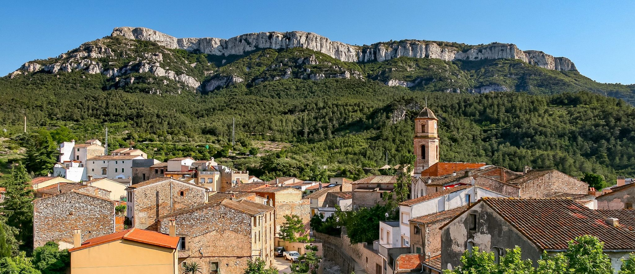
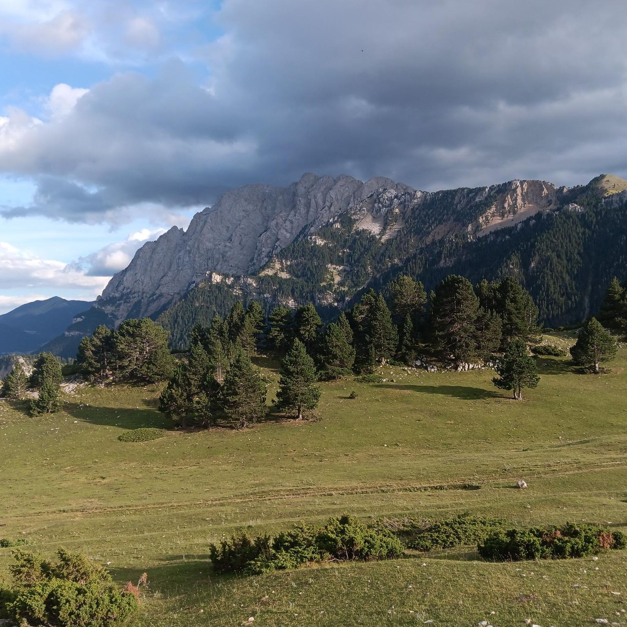
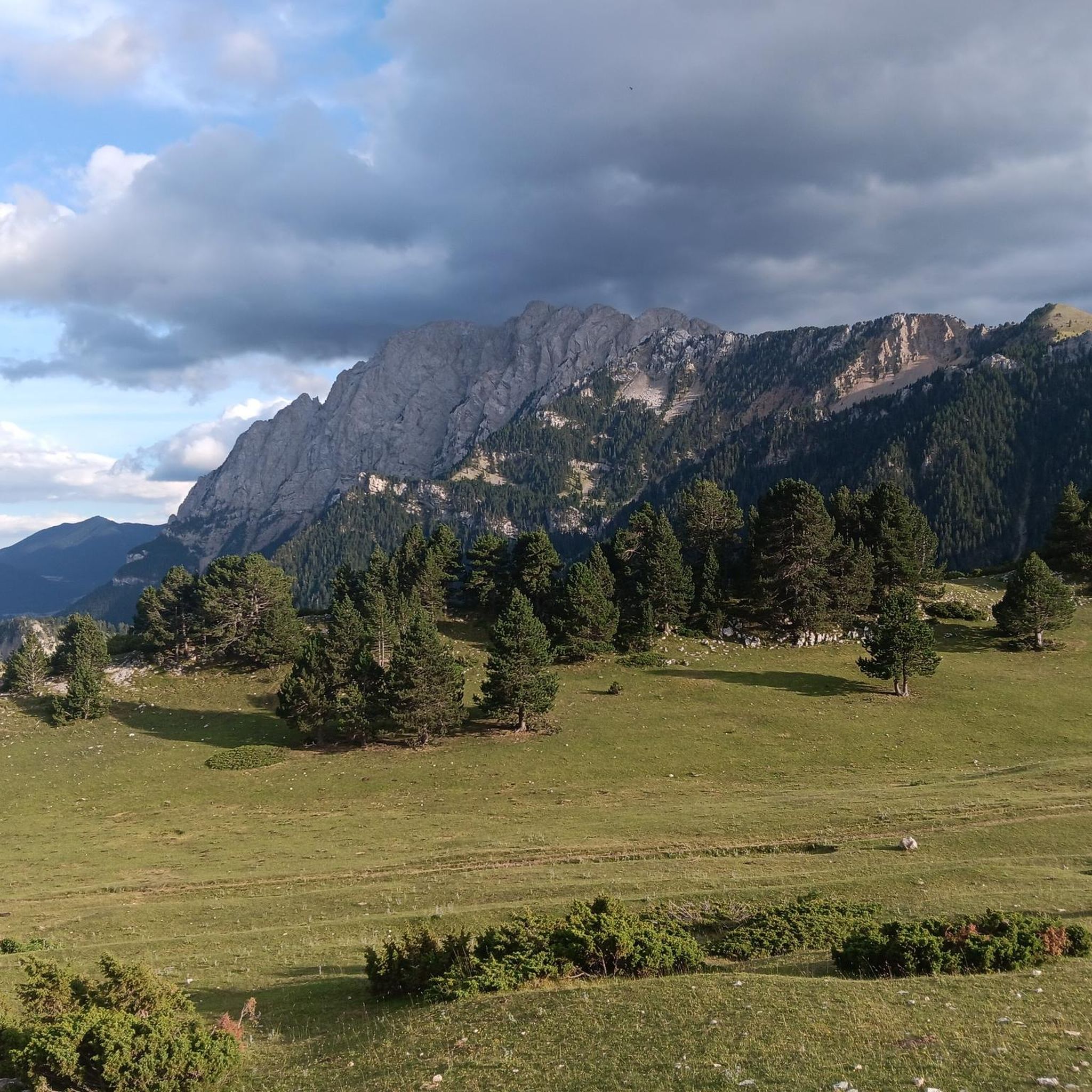
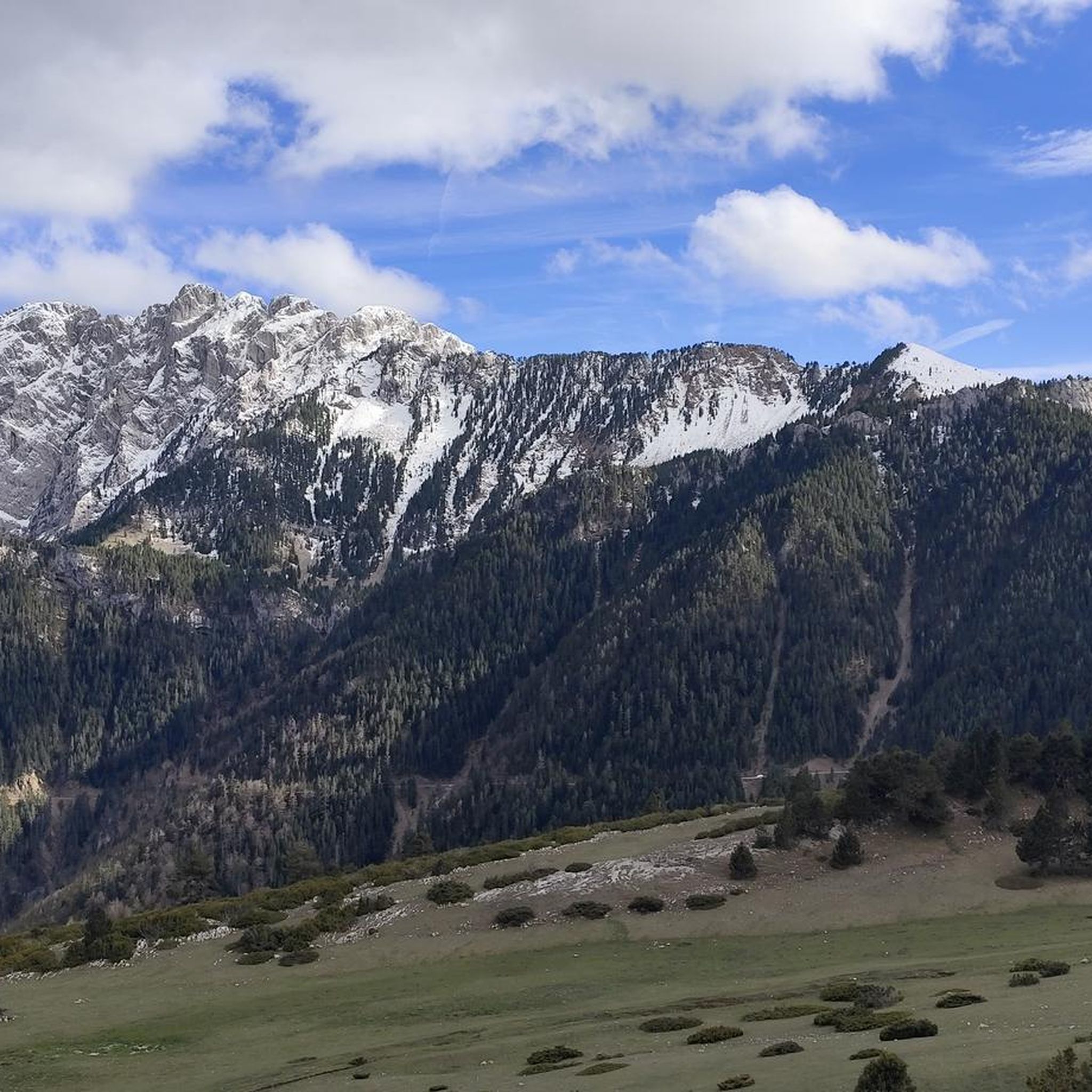
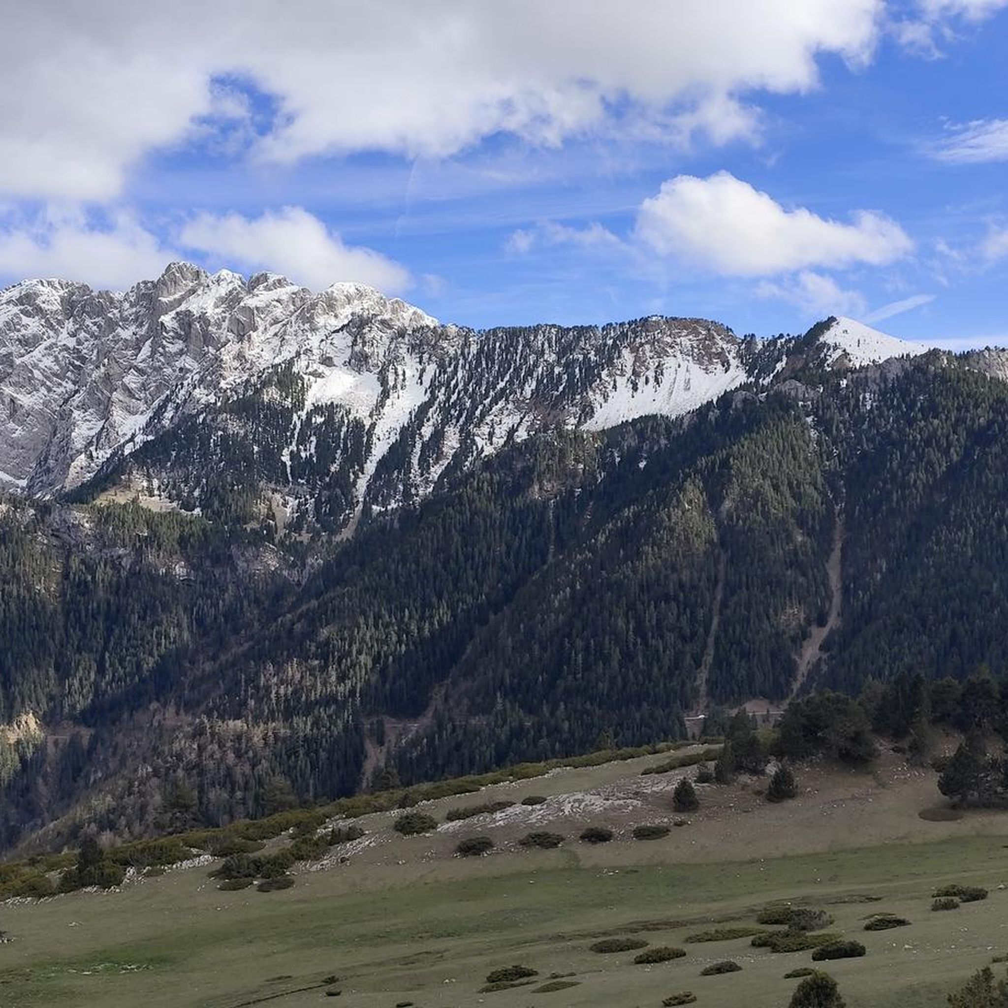
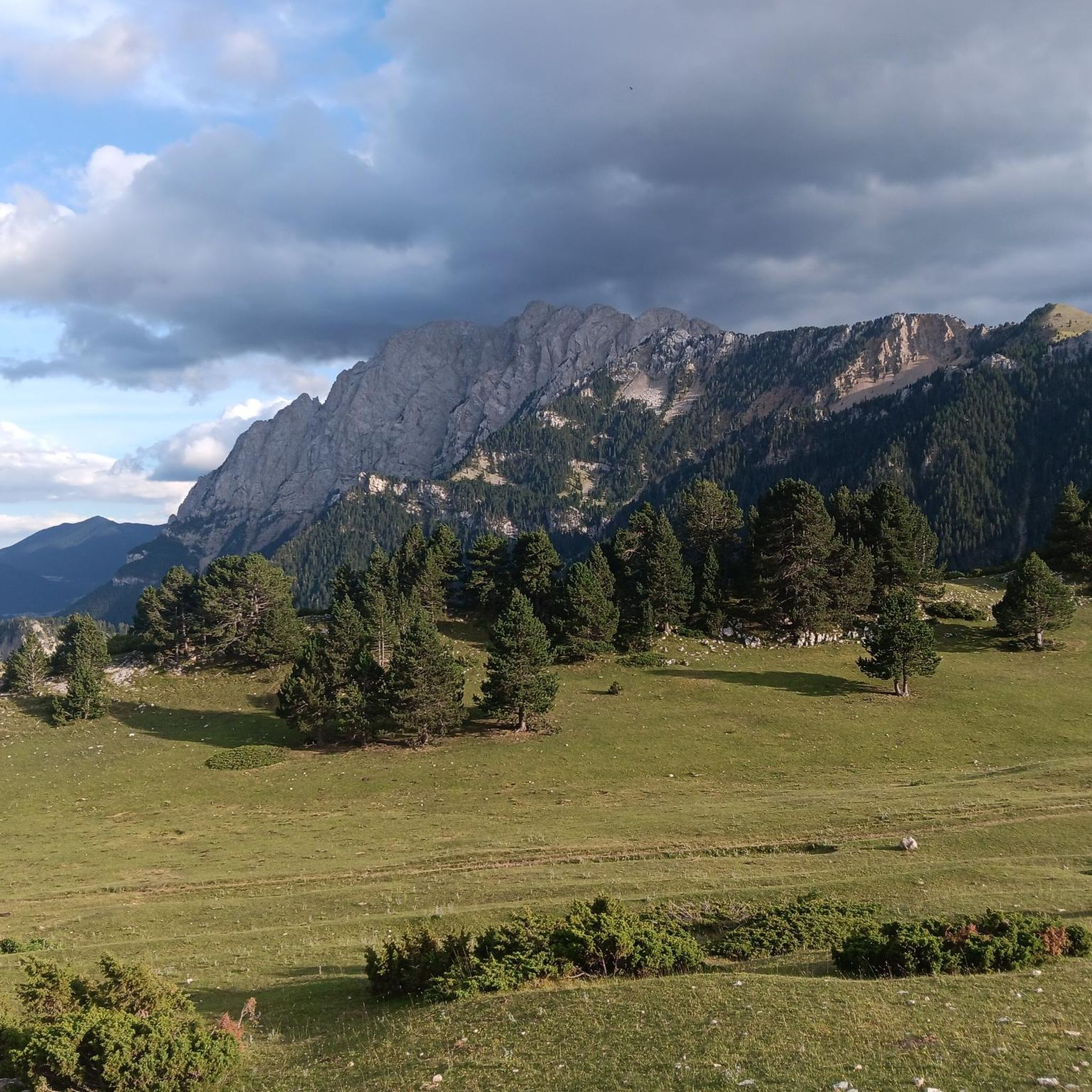
Gravel biking around Josa i Tuixén offers diverse terrain within the Alt Urgell region of the Catalan Pyrenees. The area is characterized by significant mountain formations, including the Sierra del Cadí and Port del Comte, and lies on the southern slope of the Cadí-Moixeró Natural Park. Riders navigate through serene valleys, extensive coniferous forests, and varied geological landscapes. This region's historical isolation has preserved its natural surroundings, providing a challenging environment for gravel cycling.
Best gravel bike trails around Josa…
Last updated: July 11, 2026
44
riders
65.9km
05:33
1,790m
1,790m
Hard gravel ride. Very good fitness required. You may need to push your bike for some segments of this route.
5.0
(2)
34
riders
50.6km
04:23
1,400m
1,400m
Hard gravel ride. Very good fitness required. Mostly paved surfaces. Suitable for all skill levels.

Sign up for free
11
riders
Hard gravel ride. Very good fitness required. Mostly paved surfaces. Suitable for all skill levels.
3
riders
32.2km
02:39
890m
890m
Hard gravel ride. Very good fitness required. Mostly paved surfaces. Suitable for all skill levels.
6
riders
101km
07:55
3,080m
3,080m
Hard gravel ride. Very good fitness required. Mostly paved surfaces. Suitable for all skill levels.
Our route recommendations are based on thousands of hikes, rides, and runs completed by other people on komoot.
Start today with a free account
Your next adventure awaits.
Login or Signup

Other adventures around Josa I Tuixén

Tips from the Community

The ascent from Martinet to Cap del Rec is a real challenge: a route of only 16.5 km that accumulates almost 1,000 meters of positive elevation gain!
0
0

Stone town perched above the Cadí valley, with narrow streets, slate roofs and impressive views of Pedraforca. It maintains an authentic charm, far from mass tourism, and invites you to stroll around without rushing. By mountain bike, access from Gósol or Tuixent is demanding but spectacular, with tracks that wind through forests and ravines. Tip: stop at the viewpoint before entering the town — the views of Cadí are postcard-perfect — and secure your brakes well for the descent, which is fast and technical.
0
0
High mountain crossing point with spectacular views over the Cadí and the Pedraforca massif. The pass marks the boundary between black pine forests and alpine meadows, and is an ideal place to catch your breath before tackling the final climb to the summit. On a mountain bike, the climb is tough and with rocky sections that may require pushing the bike at some points. Tip: slow down and save your energy for the last section; the reward is a panoramic view that will make you forget your tiredness.
0
0
Aransa Station Parking (Lles de Cerdanya). The perfect starting point for mountain biking and hiking routes through the Cadí-Moixeró Natural Park. Located at approximately 1,550 meters, the parking area offers ample space, nearby water fountains, and open views of the valley. In summer, it's quiet and ideal for starting climbs towards the Pradell Refuge or the Estanys de la Pera lakes. For mountain biking, the start is direct and somewhat demanding: a wide track with a continuous incline. Tip: warm up well before leaving the pavement, pace yourself, and conserve energy, as the initial climbs can be punishing if you start too fast.
0
0
Located at an altitude of 1,960 meters, this refuge is a key point for cyclists and hikers heading towards the Tossa Plana de Lles or the Nordic ski slopes. The refuge combines a mountain atmosphere with comfortable amenities: a bar, a dining room, and a terrace with open views of the Cadí mountain range. It's a good place to stop, have a hot meal, or adjust your bike before continuing the climb. For mountain biking, the track from Lles has an uneven surface and rocky sections; tires with good grip are recommended, as is maintaining a constant cadence, especially on the final bends where the gradient is noticeable.
0
0
Font de Viliella (Lles de Cerdanya). A small hidden gem in the heart of the village, under a stone porch with a tiled roof, so typical of the Cerdanya region. Fresh water flows between ancient walls, with a half-erased inscription that hints at its history. Ideal for filling your water bottle and taking a breath of fresh air before continuing your ride up the slopes of the Pyrenees. If you're on a mountain bike, be careful on the uphill section from Prullans: it's short but steep and has loose stones; it's best to take it easy and at a leisurely pace, as the spring deserves to be enjoyed when you arrive with plenty of breath.
0
0
Sant Llorenç de Morunys is a town in the Solsonès region located at 925 metres above sea level, surrounded by the Port del Comte, Busa and Verd mountain ranges. It has a well-preserved medieval centre, with walls, cobbled streets and the 11th-century Romanesque church of Sant Llorenç, as the centre of the complex. It is a key point of passage and stop for mountain routes, cycle tours and crossings through the Pre-Pyrenees. The entrance and exit of the town can be done via roads with demanding slopes or forest tracks depending on the itinerary, but it is always worth stopping there to recover energy, fill up water bottles or take a quality break. A good place to charge batteries, both physical and e-bike.
1
0
Prat de Bacies is a grassy plateau located in the Port del Comte massif, between the municipalities of Odèn and La Coma i la Pedra, in Solsonès. With altitudes exceeding 2,000 meters, it is an open space, surrounded by black pine forests and reliefs of glacial origin such as sinkholes and depressions. The landscape is open, silent and with a feeling of spaciousness that is unusual in the Pre-Pyrenees. Access is via forest tracks that may have stony or eroded sections, especially during the rainy season. It is a good point to stop, observe and rest in an authentic mountain environment, away from crowded routes. If you do it with an e-bike, it is advisable to bring a full battery, as there are no services or assistance points in the area.
0
0
Frequently Asked Questions
What is the typical difficulty level for gravel biking in Josa I Tuixén?
Gravel biking in Josa I Tuixén is generally challenging, with routes primarily suited for experienced riders. The terrain often involves significant elevation changes and varied landscapes within the Alt Urgell region and the Cadí-Moixeró Natural Park.
What kind of landscapes and terrain can I expect on gravel bike trails here?
You can expect a diverse range of landscapes, including serene valleys, extensive coniferous forests, and varied geological formations. The region is characterized by significant mountain formations like the Sierra del Cadí and Port del Comte, offering breathtaking mountain views and wild nature.
When is the best time of year for gravel biking in Josa I Tuixén?
The best time for gravel biking in Josa I Tuixén is typically from spring through autumn, when the weather is milder and trails are clear of snow. The region's high-altitude nature means conditions can vary, so checking local forecasts is always recommended.
Are there any gravel biking options during winter, or should I avoid it?
During winter, Josa I Tuixén can experience snow, especially at higher elevations, making many gravel trails impassable. The Tuixent - La Vansa Nordic ski station offers cross-country skiing and snowshoeing during this season, suggesting that gravel biking might be limited or require specific winter gear and conditions knowledge.
Are there any family-friendly gravel bike routes in the area?
The gravel bike routes in Josa I Tuixén are generally rated as 'difficult' due to significant elevation gain and challenging terrain. As such, they are primarily suited for experienced riders and may not be ideal for families with young children or beginners looking for easy rides.
Can I bring my dog on gravel bike trails in Josa I Tuixén?
While the region is rich in natural beauty, specific regulations for dogs on gravel bike trails, especially within the Cadí-Moixeró Natural Park, may apply. It's advisable to check local park rules regarding pets, particularly concerning leash requirements and protected areas, to ensure a respectful and compliant visit.
Are there many circular gravel bike routes available?
Yes, there are several circular gravel bike routes. For example, you can explore the high-altitude landscapes near the Cap del Rec Refuge on the Cap del Rec Refuge – Cap del Rec Refuge loop from Martinet, or enjoy the varied forest and open areas on the Coll de Jou Churro Shop – Fountain at Coll de Jou loop from Coll de Jou.
Where can I find parking for gravel bike trails in Josa I Tuixén?
While specific parking locations for each trail are not detailed, many routes start from villages or accessible points like Gósol or Martinet, where you can typically find parking. For routes starting from specific passes or refuges, designated parking areas are often available nearby.
Is it possible to reach Josa I Tuixén by public transport with a bicycle?
Josa I Tuixén is known for its historical isolation, which has preserved its natural surroundings. Public transport options, especially those accommodating bicycles, might be limited. It's recommended to research local bus services or train connections to nearby larger towns and their bike policies in advance.
Do I need any special permits to gravel bike within the Cadí-Moixeró Natural Park?
Gravel biking within the Cadí-Moixeró Natural Park generally does not require special permits for recreational use on established trails. However, it's always good practice to respect park regulations, stay on marked paths, and be aware of any specific rules regarding protected areas or seasonal restrictions.
Are there places to stop for refreshments or find accommodation along the gravel routes?
The villages of Tuixén and Josa del Cadí, as well as other small settlements in the region, offer opportunities for refreshments and accommodation. Some routes, like the Coll de Jou Churro Shop – Fountain at Coll de Jou loop from Coll de Jou, even mention specific stops like a churro shop, indicating that amenities can be found. The Lluís Estasen Refuge is also a notable stop.
What natural landmarks or points of interest can I see while gravel biking?
The region is rich in natural beauty. You can encounter stunning mountain passes such as Gosolans Pass, El Collell Pass, and Coll de Josa (1620 m). You might also pass by impressive summits like Bald Hen Peak or enjoy panoramic views from the Cadí Meadow (1,880 m).
What do other gravel bikers appreciate most about the trails in Josa I Tuixén?
The gravel biking experience in Josa I Tuixén is highly rated by the komoot community, with an average score of 5.0 stars. Riders often praise the diverse and well-preserved natural environment, the challenging routes through mountainous terrain, and the immersive experience offered by the region's historical isolation and stunning scenery.
Most popular routes around Josa I Tuixén
Most popular attractions around Josa I Tuixén

Get inspired with the komoot mobile app


Explore more
Browse the best Gravel rides in other regions.
