The best gravel rides around Llanfihangel Rhydithon
4.7
(7)
39
riders
2
rides
Gravel biking around Llanfihangel Rhydithon offers access to diverse and rugged landscapes on the north-western slopes of Radnor Forest in Powys, Wales. The region features an extensive network of trails, including ancient Roman roads, remote drover's tracks, and fire roads. Terrain is predominantly hilly, with rolling hills, open moorlands, and steep valleys, characterized by agriculture, nature, and significant forest cover. This provides a mix of open and wooded routes suitable for off-road cycling, often on rocky rather than muddy surfaces.
…Last updated: July 12, 2026
5.0
(2)
10
riders
30.0km
02:50
810m
810m
Hard gravel ride. Very good fitness required. Mostly paved surfaces. Suitable for all skill levels.
4
riders
68.3km
06:37
1,820m
1,810m
Hard gravel ride. Very good fitness required. Mostly paved surfaces. Suitable for all skill levels.

Sign up for free
4.0
(1)
2
riders
45.7km
04:05
1,120m
1,120m
Hard gravel ride. Very good fitness required. You may need to push your bike for some segments of this route.
Our route recommendations are based on thousands of hikes, rides, and runs completed by other people on komoot.
Start today with a free account
Your next adventure awaits.
Login or Signup
Tips from the Community

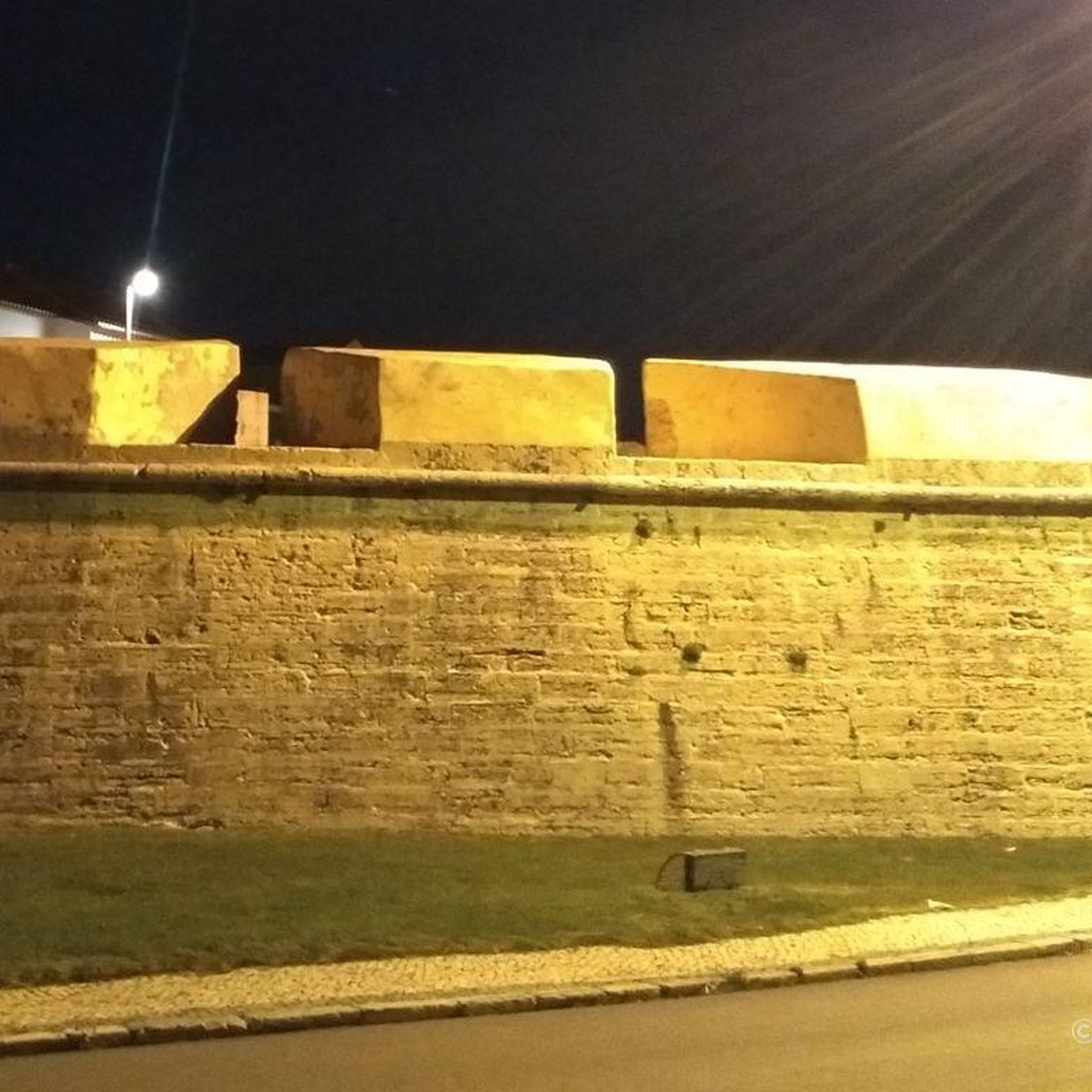
Originally a motte and bailey Norman castle, only the earthwork mound and ramparts remain now. The castle is accessible by public footpaths from the nearby village of New Radnor and the castle still command a ranging view over the village and countryside. The castle's former use as a gaol ensured New Radnor's status as the former County Town before that status was moved to the larger Presteigne.
0
0

This is the start point of the Glyndŵr's Way National Trail which winds through mid-Wales and ends at Welshpool. It's not as popular a trail as Offa's Dyke which is the main reason you'll meet other hikers here in Knighton.
1
0

Great place to stop for a coffee and light bite either after descent from Glascwm or beforehand.
0
0

A long push (for most of us), but great views from the top.
0
0

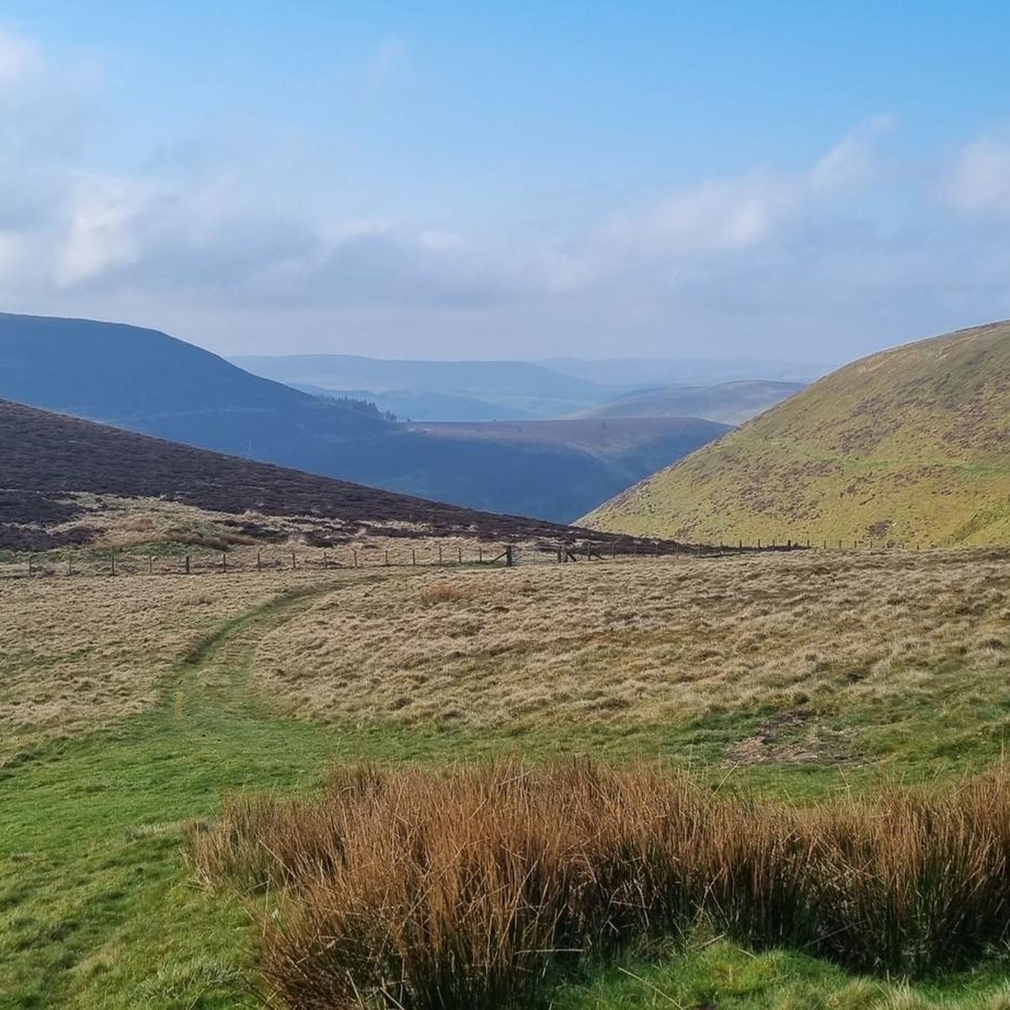
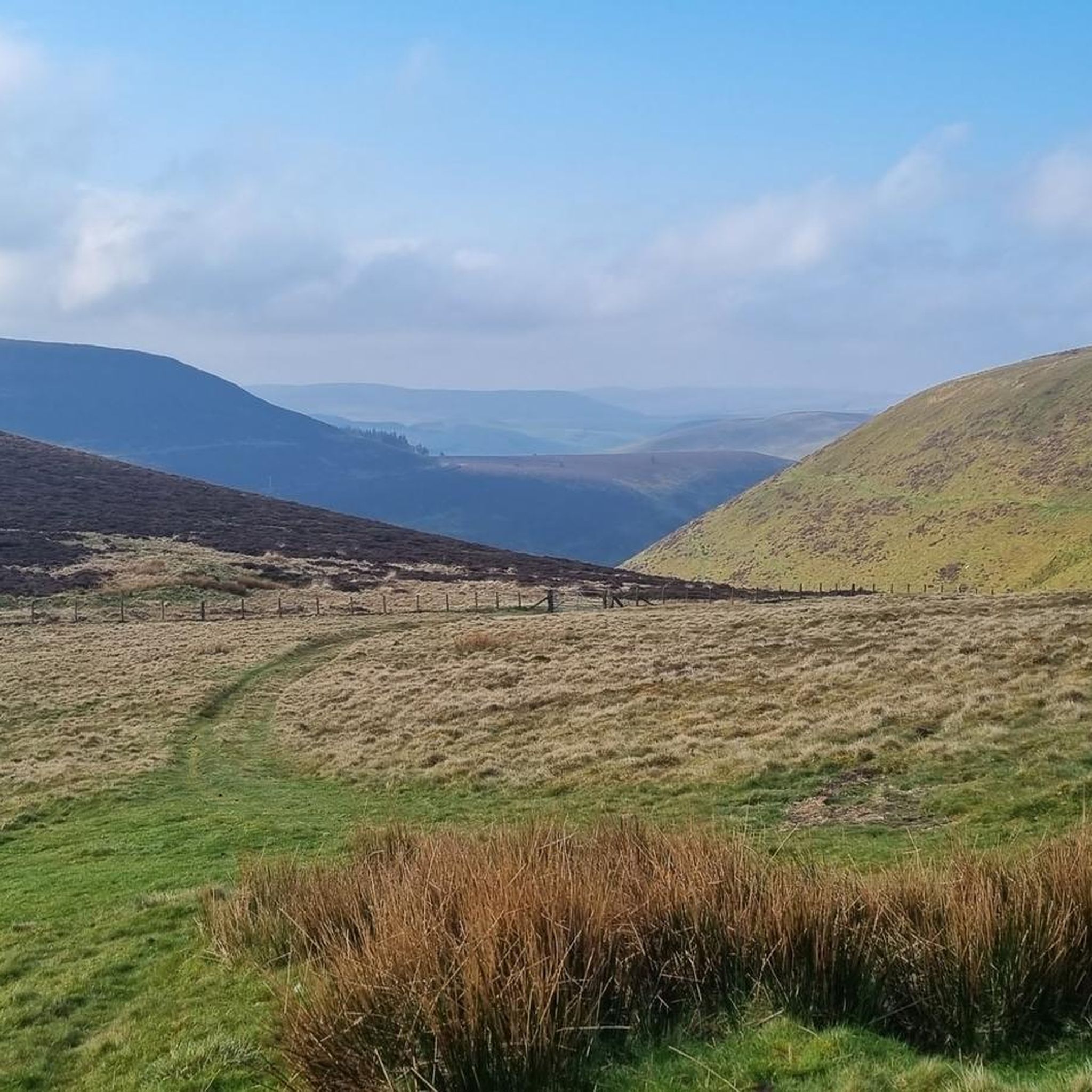
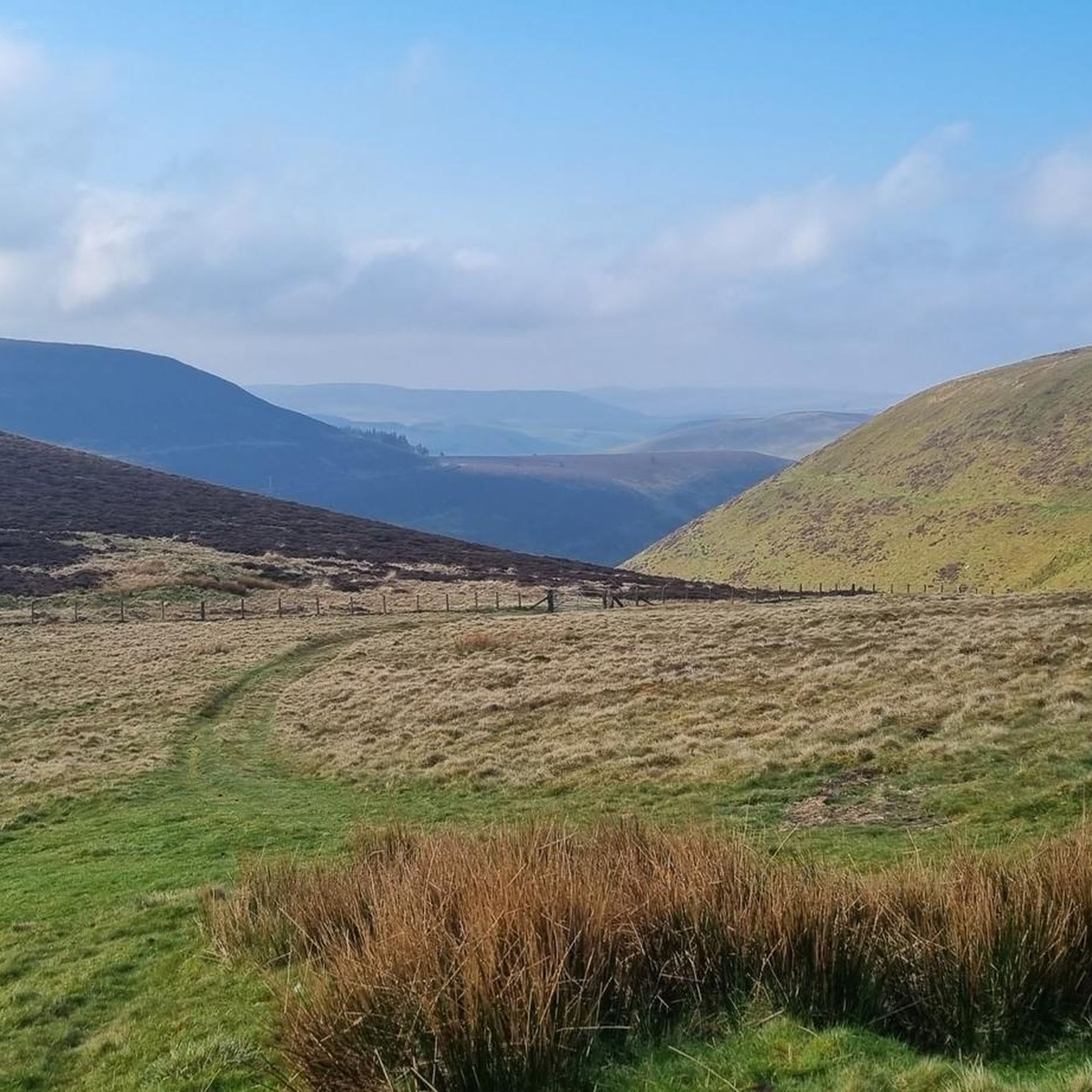
It really feels like the most wild you could possibly experience in Wales!
1
2
This climb is bananas! like, GOOD LUCK… and hold on to your brakes!
1
0

Knighton is a beautiful border market town and is unique in being the only town to sit astride Offa's Dyke national footpath. It is also notable as the starting point of Glyndwr's Way, following the route of the Welsh leader's significant battles. It is also a mecca for border cyclists and there are plenty of routes to navigate the surrounding hills and stunning countryside.
1
0

Beautiful quiet lanes in a secluded valley near the source of the River Arrow.
0
0
Frequently Asked Questions
What kind of terrain can I expect on gravel bike trails around Llanfihangel Rhydithon?
The terrain around Llanfihangel Rhydithon is predominantly hilly, featuring a mix of ancient Roman roads, remote drover's tracks, and fire roads. You'll encounter rocky surfaces, extensive forest cover, and open agricultural areas, providing a diverse and rugged experience suitable for off-road cycling.
Are there any waterfalls or notable natural features to see along the gravel routes?
Yes, a significant natural highlight in the vicinity is the Water-Break-Its-Neck Waterfall, known for its lush gorge and humid micro-climate. Many routes also offer views of prominent summits like The Whimble and Great Rhos (Rhos Fawr).
What is the general difficulty level of gravel biking in this area?
Gravel biking around Llanfihangel Rhydithon is generally considered challenging. The routes often involve significant elevation gains and varied surfaces, making them best suited for experienced riders. For example, the Black Mixen Summit – View of the Valley loop from New Radnor features over 800 meters of climbing.
Are there any circular gravel bike routes available?
Yes, many of the gravel routes in the area are designed as loops. An example is the challenging Kinnerton Court Motte – Very Quiet Country Lanes loop from New Radnor, which explores quiet country lanes and historical features.
What do other gravel bikers say about the trails in Llanfihangel Rhydithon?
The gravel routes in Llanfihangel Rhydithon are highly rated by the komoot community, with an average score of 4.7 stars from more than 5 reviews. Riders often praise the challenging climbs, expansive views from summits like Black Mixen Summit, and the diverse, rugged landscapes.
Are there any historical sites or viewpoints accessible by gravel bike?
Absolutely. The region is rich in historical features and offers stunning viewpoints. You can explore areas near Castle Bank Summit, and routes like the View of Highgate Hill – View from Goytre Tump loop from New Radnor often pass through areas with expansive vistas.
How accessible is Llanfihangel Rhydithon by public transport for cyclists?
Llanfihangel Rhydithon itself is a small community, but the nearby village of Dolau has a station on the Heart of Wales Railway. This railway line can offer accessibility for cyclists, though it's always advisable to check the specific bike carriage policies of the Heart of Wales Line before planning your journey.
Where can I find parking if I'm bringing my bike by car?
While specific designated cyclist parking in Llanfihangel Rhydithon village isn't detailed, many routes, such as those starting from New Radnor, typically have local parking options available. It's recommended to check local signage or community information upon arrival for the most suitable parking spots.
Are there any longer, more epic gravel rides in the area?
For those seeking a longer adventure, the View of Highgate Hill – View from Goytre Tump loop from New Radnor is a substantial 68.3 km (42.4 miles) trail with significant elevation gain, often taking over 7 hours to complete. Another challenging option is the Upper Arrow Valley – Glascwm Climb loop from Bettws Disserth, covering 46.4 km with over 1100 meters of climbing.
What kind of natural environment will I experience while gravel biking here?
You'll be cycling through a landscape dominated by hills, forests, and peat bog plateaus, characteristic of the Radnor Forest area. The routes traverse a mix of agricultural land and natural areas, offering a blend of open vistas and sheltered, wooded sections.
Is the area suitable for year-round gravel biking?
The region's terrain, often featuring rocky surfaces, can be suitable for year-round riding. However, given the hilly nature and potential for peat bogs, conditions can vary significantly with weather. Always check local weather forecasts and trail conditions, especially during wetter or colder months.
Most popular attractions around Llanfihangel Rhydithon

Get inspired with the komoot mobile app


Explore more
Browse the best Gravel rides in other regions.
