The best gravel rides around Llanfair Caereinion
7
riders
2
rides
Gravel bike trails around Llanfair Caereinion navigate a landscape characterized by rolling hills, verdant valleys, and the meandering River Banwy. The area features a mix of quiet country lanes, sloping gravel paths through woodlands like Deri Woods, and open meadows. This Mid Wales region offers diverse terrain, from riverside routes to more challenging climbs through its hilly surroundings, suitable for gravel biking.
Best gravel bike trails around Llanfair Caereinion
- The most popular gravel bike trail is Llyn Mawr – Llyn…
Last updated: July 12, 2026
2
riders
48.8km
03:56
1,020m
1,020m
Hard gravel ride. Very good fitness required. Mostly paved surfaces. Suitable for all skill levels.
2
riders
15.4km
01:13
340m
340m
Moderate gravel ride. Good fitness required. Mostly paved surfaces. Suitable for all skill levels.

Sign up for free
4
riders
Moderate gravel ride. Good fitness required. Mostly paved surfaces. Suitable for all skill levels.
1
riders
46.5km
03:53
910m
910m
Hard gravel ride. Very good fitness required. Mostly paved surfaces. Suitable for all skill levels.
Our route recommendations are based on thousands of hikes, rides, and runs completed by other people on komoot.
Start today with a free account
Your next adventure awaits.
Login or Signup
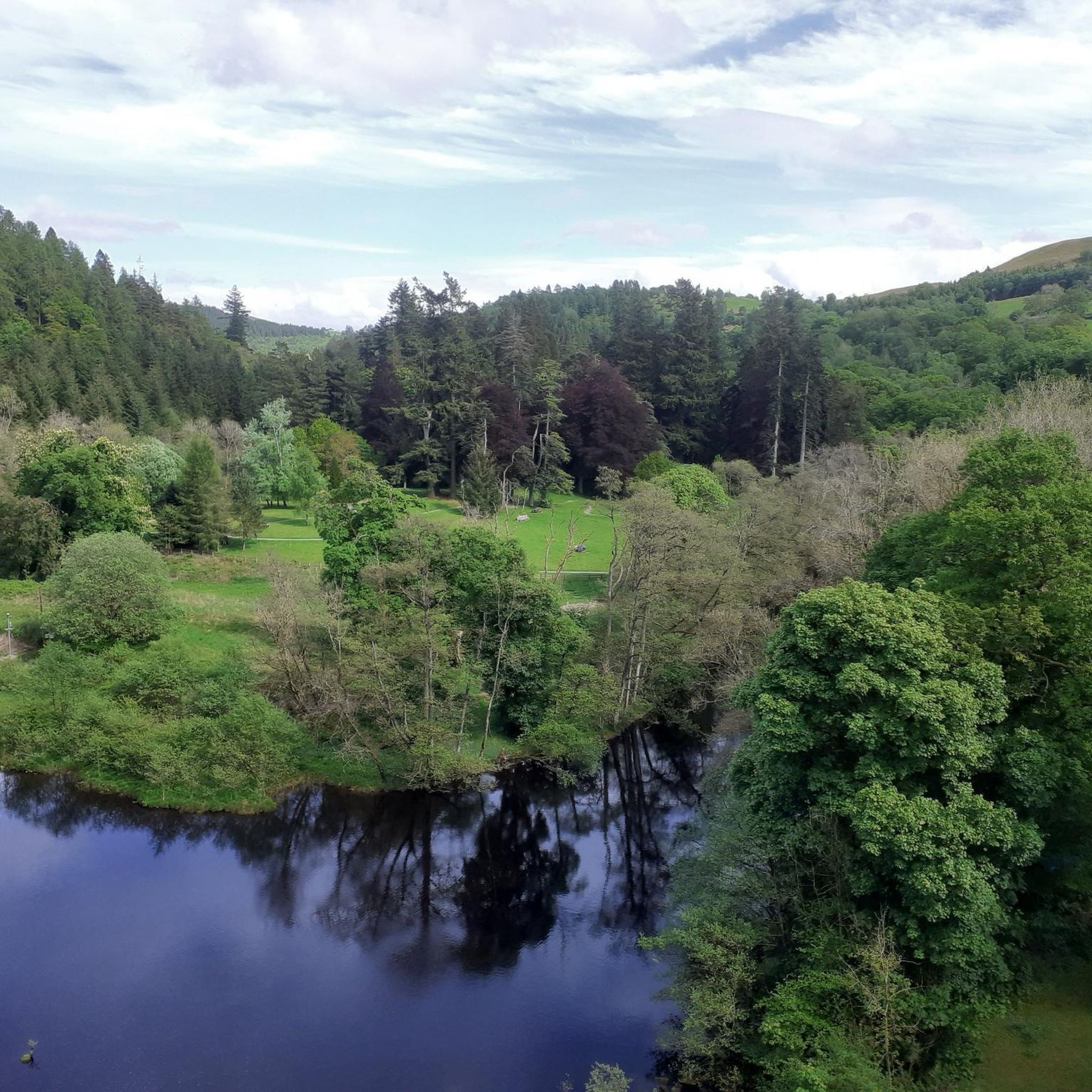
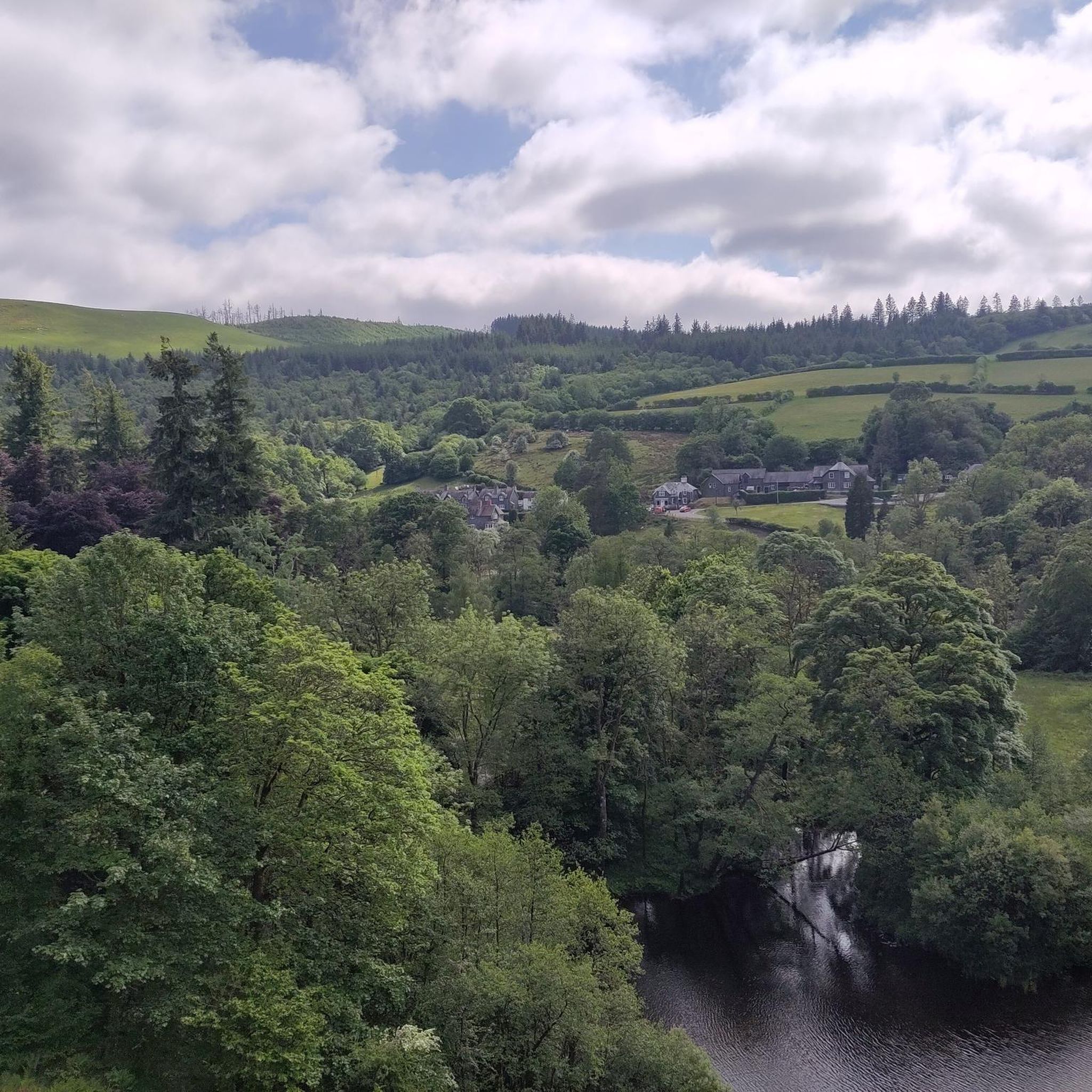
Tips from the Community

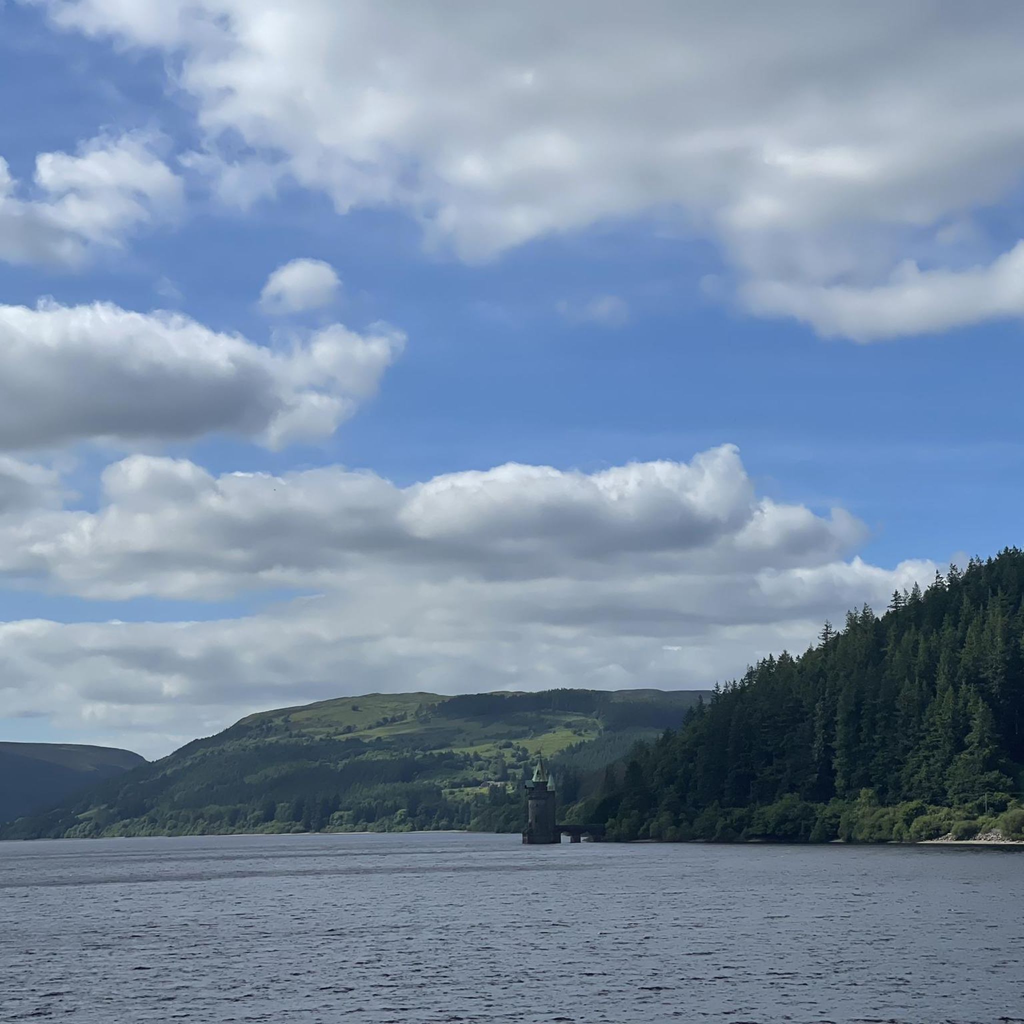
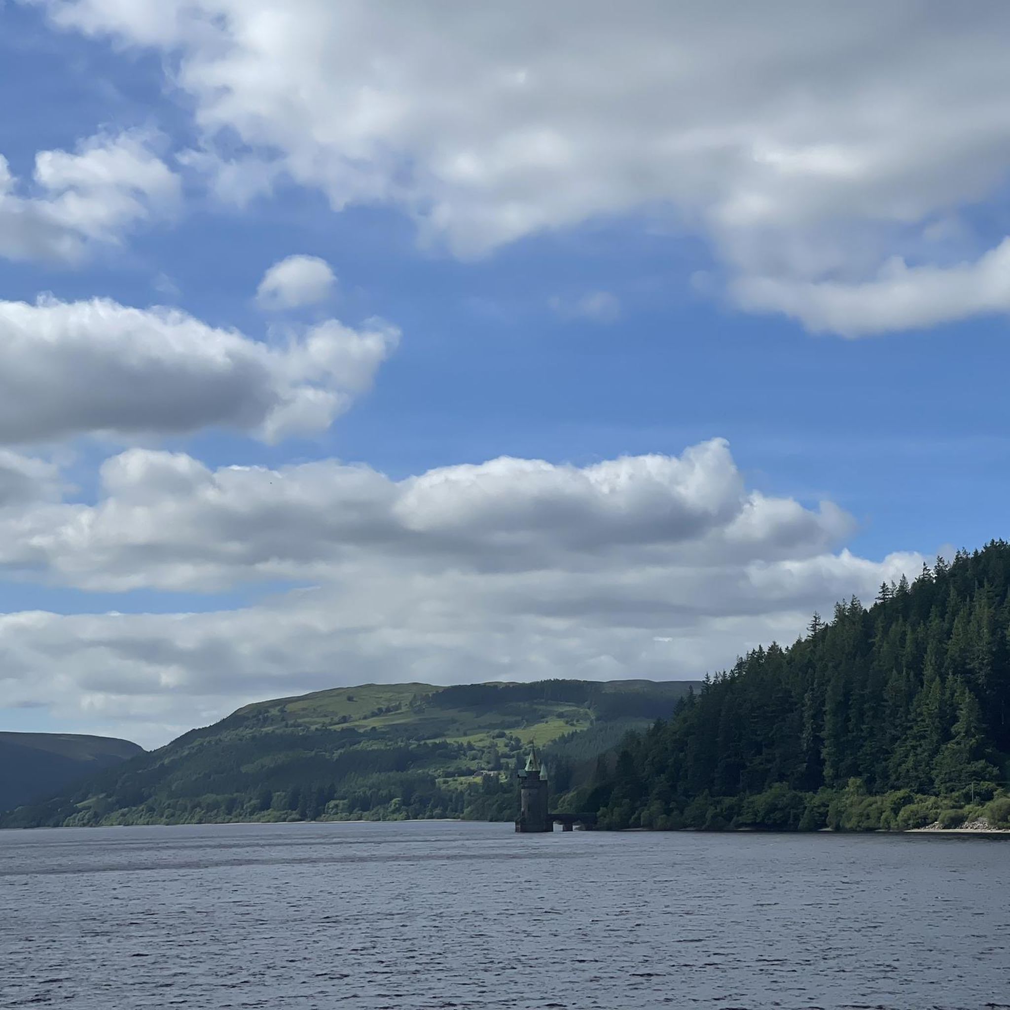
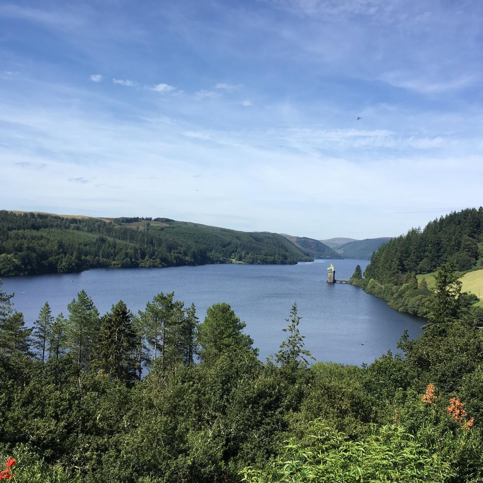
Lake Vyrnwys straining tower! Lovely place and gives it that fairy tale vibe. One of my special places is Vyrnwy.
0
0

Gorgeous area. Be aware the road/trail on the south side (including access to/from Llanymawddwy) are currently closed due to damage from storm Darragh. See https://www.hdcymru.co.uk/our-visitor-sites/lake-vyrnwy/storm-darragh/ for more details.
0
0


There is a little cafe above the main car park for a coffee and cake after the "gift shop" labelled walks. As usual, Komoot makes the walk easier than using signposts - remember to download to the phone app. Kayaking/canoeing around the lake is only possible for about half of it due to a protected bird sanctuary.
0
0

Great place to sit and enjoy a picnic lunch. Beautiful views and idylic canal. Waterlilies look great when in flower in the Summer. Note of warning, the towpath is quite narrow, and when hedges are overgrown, a bit challenging with nettles and brambles.
1
0

The Straining Tower at Lake Vyrnwy is an intake tower built to extract water from the lake. The tower stands on the north shore of Lake Vyrnwy, near the village of Llanwddyn, in Powys, Wales. The Lake Vyrnwy dam project was designed to provide a water supply to the city of Liverpool and work on the dam began in 1881. On its completion 11 years later, the lake was the largest reservoir in Europe and water was drawn from it into the straining tower and carried to Liverpool on a 110km-long aqueduct. The engineers for the project were Thomas Hawksley and George Frederick Deacon, although the straining tower was entirely Deacon's design. The tower is constructed in a Gothic Revival style, purportedly based on the tower of the castle at Chillon, Switzerland. It draws heavily on the contemporaneous work of William Burges, whose Cardiff Castle and Castell Coch are clear influences. The straining tower is a Grade I listed building.
3
0
The Straining Tower at Lake Vyrnwy is an intake tower built to extract water from the lake. The tower stands on the north shore of Lake Vyrnwy, near the village of Llanwddyn, in Powys, Wales. The Lake Vyrnwy dam project was designed to provide a water supply to the city of Liverpool and work on the dam began in 1881. On its completion 11 years later, the lake was the largest reservoir in Europe and water was drawn from it into the straining tower and carried to Liverpool on a 110km-long aqueduct. The engineers for the project were Thomas Hawksley and George Frederick Deacon, although the straining tower was entirely Deacon's design. The tower is constructed in a Gothic Revival style, purportedly based on the tower of the castle at Chillon, Switzerland. It draws heavily on the contemporaneous work of William Burges, whose Cardiff Castle and Castell Coch are clear influences. The straining tower is a Grade I listed building
5
0
Lake Vyrnwy (Welsh: Llyn Efyrnwy, pronounced [ɛˈvərnʊɨ] or Llyn Llanwddyn) is a reservoir in Powys, Wales, built in the 1880s for Liverpool Corporation Waterworks to supply Liverpool with fresh water. It flooded the head of the Vyrnwy (Welsh: Afon Efyrnwy) valley and submerged the village of Llanwddyn.
5
0
Frequently Asked Questions
How many gravel bike trails are available around Llanfair Caereinion?
Komoot features a selection of 3 curated gravel bike routes around Llanfair Caereinion, offering diverse experiences through the region's rolling hills and verdant valleys. These routes are part of a wider network of trails in Mid Wales suitable for gravel biking.
What kind of terrain can I expect on gravel bike trails near Llanfair Caereinion?
The terrain around Llanfair Caereinion is characterized by a mix of quiet country lanes, sloping gravel paths through woodlands like Deri Woods, and open meadows. You'll encounter rolling hills and verdant valleys, with some routes featuring riverside sections along the River Banwy and others leading through more challenging, hilly surroundings.
Are there any family-friendly gravel biking options in the area?
While specific family-friendly routes are not detailed in the provided data, the region's quiet country lanes and sections along the Montgomery Canal offer easier, waterside cycling that could be suitable for families. The Goat Field Arboretum, with its idyllic setting by the River Banwy, also provides gentle pathways for exploration.
Can I bring my dog on gravel bike trails around Llanfair Caereinion?
Many public footpaths and quiet country lanes in the Llanfair Caereinion area are suitable for cycling with a dog, provided they are well-behaved and on a lead where necessary, especially around livestock. Always check local signage for specific restrictions on trails or in nature reserves.
What are some scenic points of interest I can discover along the gravel routes?
The gravel routes around Llanfair Caereinion offer views of rolling hills and lush green landscapes. You might encounter natural features like Llyn Mawr, or enjoy panoramic vistas from viewpoints such as Allt y Main Summit and Y Glon Upland Gravel Track. The Welshpool & Llanfair Light Railway also provides a scenic backdrop to some rides.
Are there challenging gravel bike routes for experienced riders?
Yes, for experienced riders seeking a challenge, the Glyndwr's Way loop from Llangadfan is a difficult route covering 28.9 miles (46.4 km) with significant elevation gain, leading through rolling hills and woodlands. This route is often completed in about 4 hours 50 minutes.
What is the best time of year for gravel biking in Llanfair Caereinion?
Mid Wales, including Llanfair Caereinion, is generally suitable for gravel riding year-round. The region's tracks are often described as 'rocky rather than muddy,' which can make them more accessible in wetter conditions. However, spring and autumn offer pleasant temperatures and vibrant scenery, while summer provides longer daylight hours. Always check local weather conditions before heading out.
Are there any circular gravel bike routes available?
Yes, several routes are designed as loops. For example, the popular Llyn Mawr – Llyn Mawr loop from Caersws offers a moderate 9.6-mile (15.4 km) ride. Another option is the Montgomery Canal – Severn Way – Brynderwen Iron Bridge loop from Welshpool Airport, a moderate 27.2-mile (43.8 km) path that includes waterside sections.
Where can I find parking for gravel bike trails near Llanfair Caereinion?
While specific parking locations for each trail are not detailed, Llanfair Caereinion and nearby towns typically offer public parking facilities. For routes starting from specific points like Welshpool Airport or Caersws, designated parking areas are usually available. It's advisable to check local council websites or mapping services for parking options closest to your chosen starting point.
Can I access gravel biking routes using public transport?
Llanfair Caereinion is served by local bus routes, and the Welshpool & Llanfair Light Railway offers a unique way to experience the area, with the possibility of taking bikes on the train for certain routes. This can allow for varied cycling excursions, combining rail travel with your gravel ride. Check specific bus and train operator policies regarding bikes.
Are there any cafes or pubs along the gravel bike trails for refreshments?
Llanfair Caereinion itself has local amenities including cafes and pubs. While specific routes may not pass directly by establishments, many trails are within a reasonable distance of the town or other villages like Llangadfan, where you can find places to refuel. Planning your route with a stop in mind is recommended.
What do other gravel bikers enjoy most about the trails in Llanfair Caereinion?
Gravel bikers exploring Llanfair Caereinion often praise the region's diverse and picturesque landscape, characterized by rolling hills, quiet country lanes, and scenic woodlands. The variety of terrain, from gentle riverside paths to more challenging climbs, is frequently highlighted, offering something for different skill levels.
Most popular attractions around Llanfair Caereinion

Get inspired with the komoot mobile app


Explore more
Browse the best Gravel rides in other regions.
