The best mountain hikes in Mäusberg-Rammersberg-Ständelberg
4.7
(24)
118
hikers
7
hikes
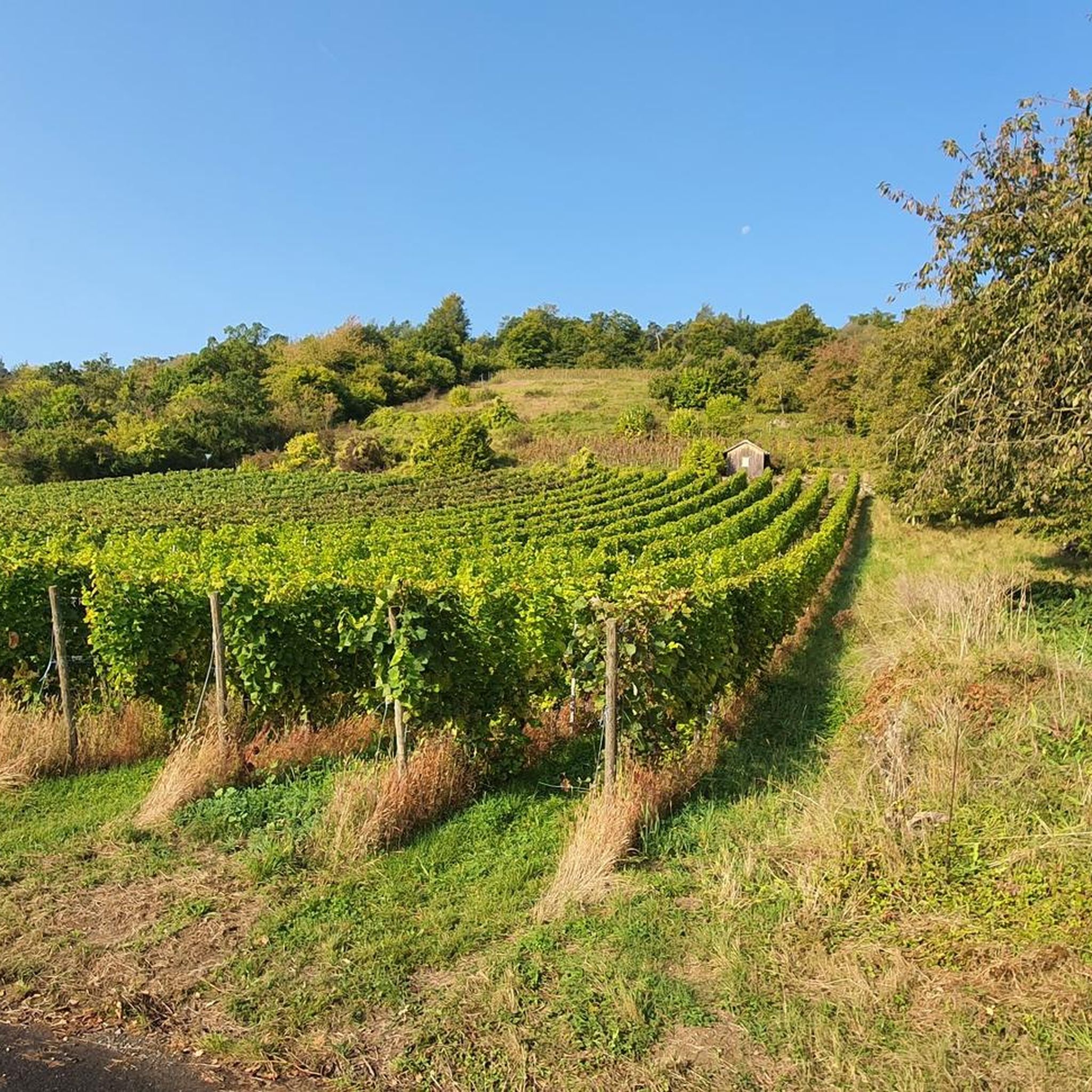
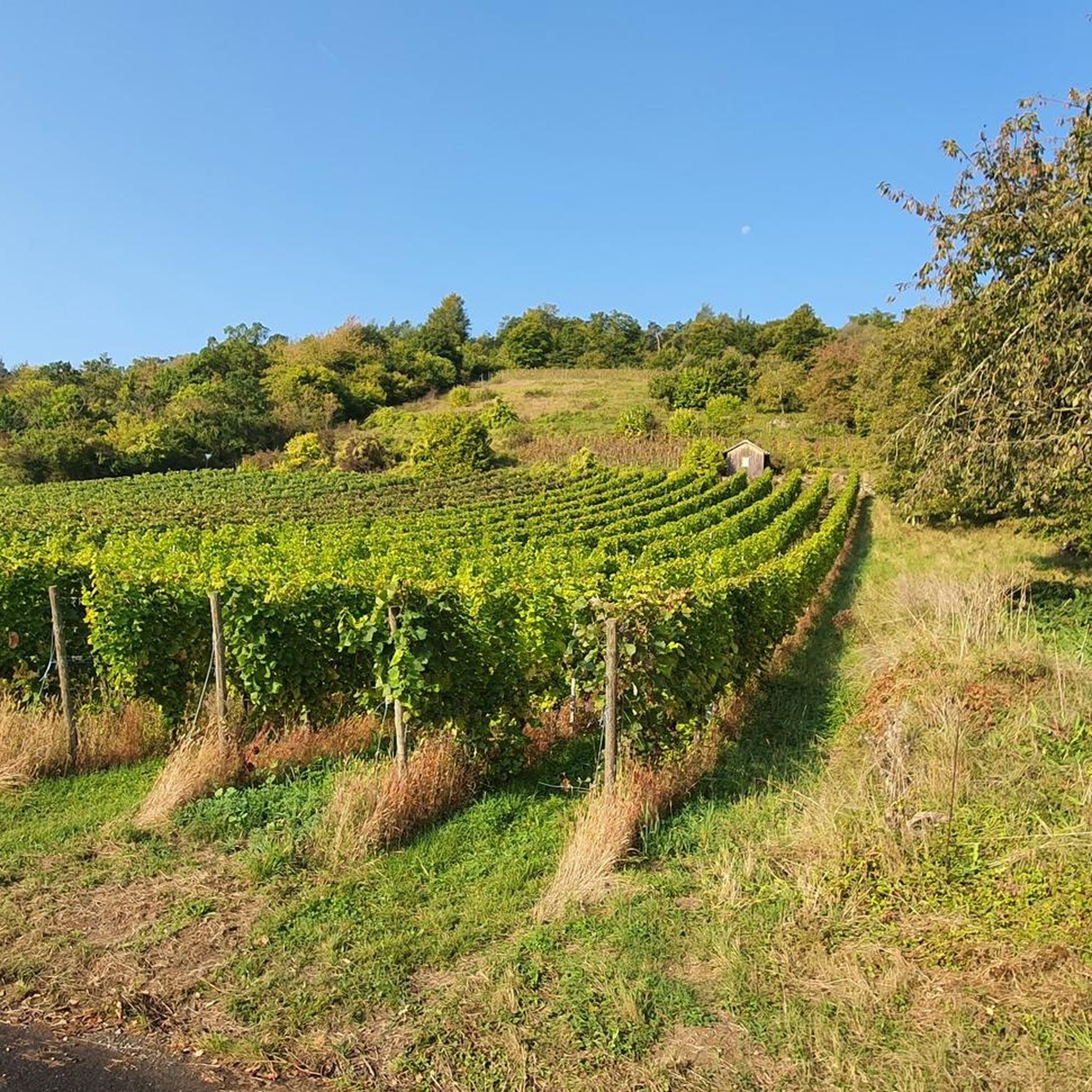
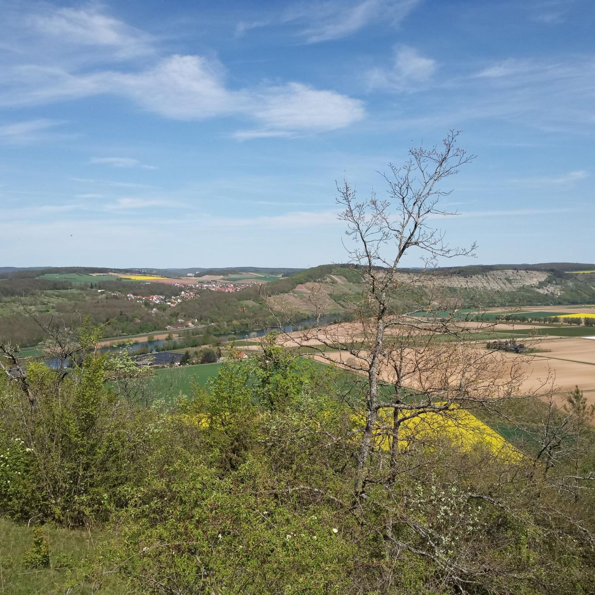
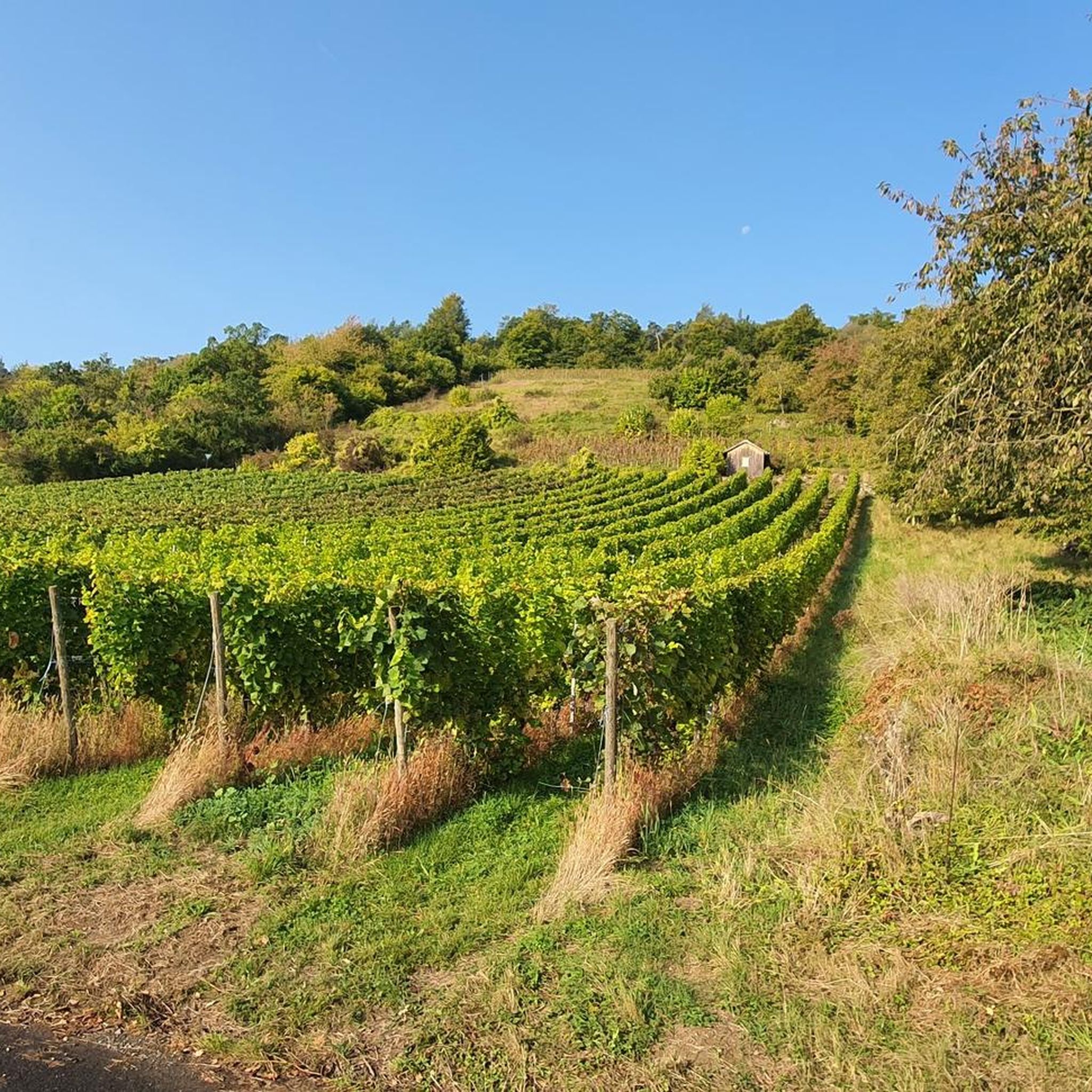
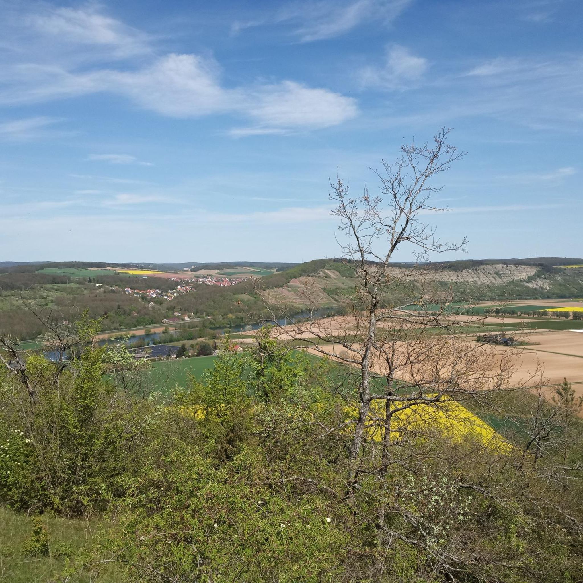
Mountaineering routes in Mäusberg-Rammersberg-Ständelberg traverse a landscape characterized by high plateaus, slopes, and extensive calcareous grasslands. The region features light pine and beech forests, interspersed with scattered orchards, creating varied terrain for exploration. Three distinct hills—Mäusberg, Rammersberg, and Ständelberg—define the area, with the Main River flowing to the northeast and the Ziegelbach stream to the west. While not involving technical climbing, mountaineering here encompasses robust mountain hiking through its protected natural environment.
Best mountaineering routes in Mäusberg-Rammersberg-Ständelberg
- The most popular mountaineering route is Lenzsteig Via Ferrata Entrance – Lenzsteig via ferrata loop from Gambacher Markung, a moderate 2.8 miles (4.6 km) trail that takes 1 hour 30 minutes to complete. This route offers a scenic loop through varied terrain.
- Another top favourite among local mountaineers is Lenzsteig via ferrata – Lourdes Grotto Gambach loop from Gambacher Markung, a difficult 4.0 miles (6.4 km) path. This trail features notable elevation changes and views of the surrounding landscape.
- Local mountaineers also love the Lenzsteig Via Ferrata Entrance – Lenzsteig via ferrata loop from Grainberg-Kalbenstein und Saupurzel, a 1.8 miles (2.9 km) trail leading through forests and open areas, often completed in about 1 hour 9 minutes.
- Mountaineering in Mäusberg-Rammersberg-Ständelberg is defined by high plateaus, calcareous grasslands, and diverse forests. The network offers options for different ability levels, from moderate mountain hikes to more challenging routes.
- The routes in Mäusberg-Rammersberg-Ständelberg are highly rated by the komoot community with an average score of 4.8 stars from over 20 reviews. More than 100 mountaineers have used komoot to explore Mäusberg-Rammersberg-Ständelberg's varied terrain.
Last updated: October 8, 2026
4.7
(3)
18
hikers
Hard mountaineering route. Great for any fitness level. Sure-footedness, sturdy shoes and alpine experience required.
1
hikers
Hard mountaineering route. Great for any fitness level. Sure-footedness, sturdy shoes and alpine experience required.

4.5
(2)
13
hikers
Hard mountaineering route. Great for any fitness level. Sure-footedness, sturdy shoes and alpine experience required.
5.0
(2)
3
hikers
Moderate mountaineering route. Great for any fitness level. Mostly accessible paths. Sure-footedness required.
1
hikers
Moderate mountaineering route. Good fitness required. Mostly accessible paths. Sure-footedness required.
Get access to more routes and recommendations from other explorers.
Already have an account?
Our route recommendations are based on thousands of hikes, rides, and runs completed by other people on komoot.
Start today with a free account
Your next adventure awaits.
Popular around Mäusberg-Rammersberg-Ständelberg

Tips from the Community

Worldwide unique ecosystem of calcareous grasslands in Mainfranken. Very interesting information boards
0
0

A beautiful via ferrata with a view.
0
0
The longest via ferrata in the area.
3
0
A parking space for cars 🚗 is also available.
2
1
Above the Lenzsteig.
1
0

Open on Sundays and occasionally on public holidays... but not during the winter months. Outside, you'll find a self-service refrigerator with a small drinks counter... Seating is available under cover.
1
1
If you don't have a fear of heights, then this should be doable...but remember your protective equipment
2
0
Don't look for the blue sign, there isn't one here..🅿️
2
1
Frequently Asked Questions
What kind of terrain can I expect on mountaineering routes in Mäusberg-Rammersberg-Ständelberg?
The region features a varied landscape with high plateaus, slopes, and extensive calcareous grasslands. You'll also traverse light pine and beech forests, interspersed with traditional orchards. The three distinct hilltops—Mäusberg, Rammersberg, and Ständelberg—provide diverse terrain for exploration.
Are there any challenging mountaineering routes for experienced hikers?
Yes, Mäusberg-Rammersberg-Ständelberg offers several challenging routes. These typically exceed 5 hours or 3,000 feet of elevation gain, requiring very good fitness, sure-footedness, sturdy shoes, and some alpine experience. An example of a difficult route is the Lenzsteig via ferrata – Lourdes Grotto Gambach loop from Gambacher Markung.
What are some notable natural features or attractions to look out for?
The area is rich in natural beauty. You can visit the Mäusberg-Rammersberg-Ständelberg Nature Reserve itself, or enjoy the panoramic View of the Main Valley from Mäuseberg. The region is also known for its unique flora, including 22 orchid species and rare plants like Spring Adonis and Dittany.
Are there any circular mountaineering routes available?
Yes, many routes in the area are designed as loops. For instance, the Faltes Hut – Lenzsteig via ferrata loop from Grainberg-Kalbenstein und Saupurzel offers a moderate circular experience through forests and open areas.
What is the best time of year for mountaineering in this region?
The region experiences a remarkably warm climate and relatively low precipitation, making it suitable for outdoor activities for much of the year. Spring and autumn are particularly pleasant for hiking, offering mild temperatures and vibrant natural scenery, especially when the unique flora is in bloom.
What is the typical duration and elevation gain for routes in Mäusberg-Rammersberg-Ständelberg?
Routes vary significantly. Moderate trails might take up to 5 hours with up to 3,000 feet of elevation gain, while challenging routes can exceed these figures. For example, the Faltes Hut – Lenzsteig Via Ferrata Entrance loop from Grainberg-Kalbenstein und Saupurzel is a moderate route covering about 4.2 km with around 115 meters of elevation gain.
What do other mountaineers say about the routes here?
The routes in Mäusberg-Rammersberg-Ständelberg are highly rated by the komoot community, with an average score of 4.8 stars from over 20 reviews. Users often praise the varied terrain, the beautiful views, and the well-maintained paths through diverse ecosystems.
Is the area suitable for families with children?
While the region offers strenuous hiking, which can be challenging for very young children, there are moderate paths that might be suitable for active families. Look for routes classified as 'moderate' with shorter distances and less elevation gain if hiking with children. Always assess the specific route's difficulty and your family's fitness level.
Are there any historical points of interest along the trails?
Yes, you can discover historical elements such as the Murder Stone or learn about past practices at the Tree resin extraction in the "Schelmenhecke" highlight.
How many mountaineering routes are available in Mäusberg-Rammersberg-Ständelberg?
There are 8 mountaineering routes documented in this guide, with 5 classified as moderate and 3 as difficult, offering a range of options for different fitness levels.
Are dogs allowed on the trails?
As a nature reserve, specific rules regarding dogs may apply. Generally, dogs are often permitted on trails if kept on a leash, but it's always best to check local signage or the official nature reserve guidelines to ensure compliance and protect the unique flora and fauna of the area. For more information on the nature reserve, you can visit FrankenTourismus.
Most popular routes in Mäusberg-Rammersberg-Ständelberg
Most popular attractions in Mäusberg-Rammersberg-Ständelberg

Get inspired with the komoot mobile app


Explore more
Browse the best Mountain Hikes & Routes in other regions.
