Top 7 Mountain Passes in Haute-Saône
Best mountain passes in Haute-Saône are situated within the Vosges mountains, offering diverse terrain for exploration. This region features the highest point in the Haute-Saône department, the Ballon de Servance, which reaches 1216 meters above sea level. The landscape includes forests, climbs, and scenic viewpoints, providing a range of routes for outdoor activities. Many passes are known for their quiet roads and natural surroundings.
Best mountain passes in Haute-Saône
- The most popular mountain passes is Ballon de Servance, a…
Last updated: October 13, 2026
Col des Croix
Highlight • Mountain Pass
Showing Translation
Tip by

Ballon de Servance
Highlight • Summit
The highest point in the Haute-Saône department, the Ballon de Servance is partly …
Translated by Google •
Tip by

Sign up now to discover places like this
Get recommendations on the best single tracks, peaks, & plenty of other exciting outdoor places.
Mont de Fourche Pass
Highlight • Mountain Pass
Translated by Google •
Tip by

Chevrères Pass
Highlight • Mountain Pass
Translated by Google •
Tip by

Col du Ballon de Servance from Plancher-les-Mines
Highlight (Segment) • Mountain Pass
Showing Translation
Tip by
Snack Le Col des Croix
Highlight • Cafe
Showing Translation
Tip by
Ascent of Col des Chevrères from Rexelaxert via Miellin
Highlight (Segment) • Climb
Translated by Google •
Tip by

Chevestraye Pass
Highlight • Mountain Pass
Translated by Google •
Tip by

Col du Paradis
Highlight • Mountain Pass
Translated by Google •
Tip by

Start today with a free account
Your next adventure awaits.
Popular around Haute-Saône
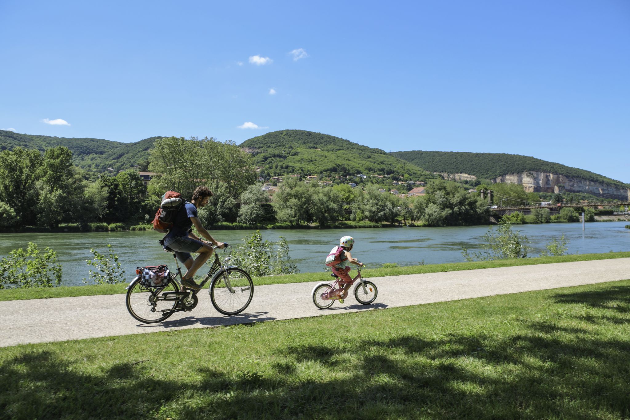
The Voie Bleue – Moselle-Saône by bike

Naples to North Cape — Two friends, one purpose and many scoops of ice-cream
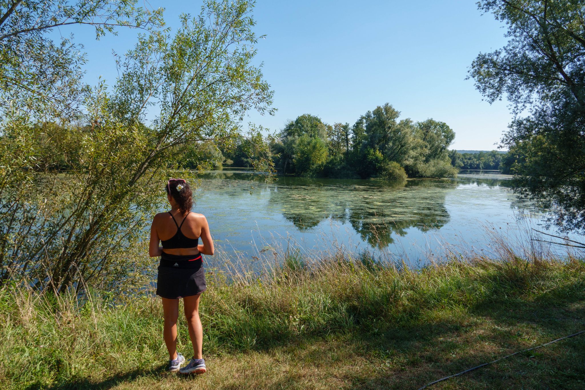
Hiking in the Vallée de l’Ognon — between villages, forests and rivers
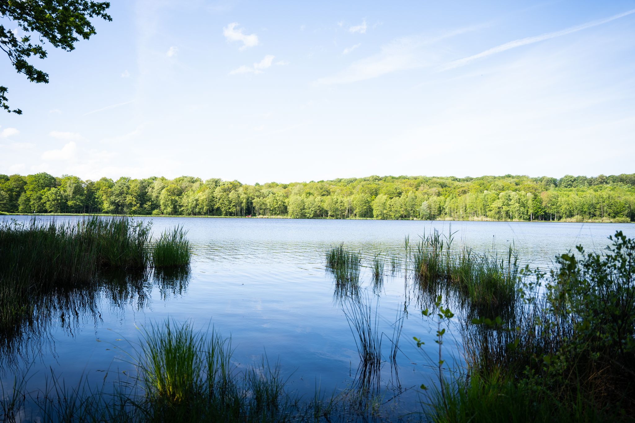
10 wonderful hikes in the Southern Vosges
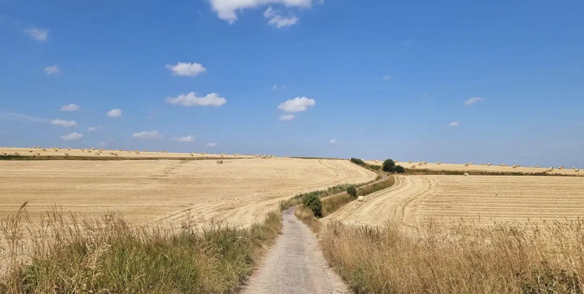
In the footsteps of History — GR 145, the Via Francigena
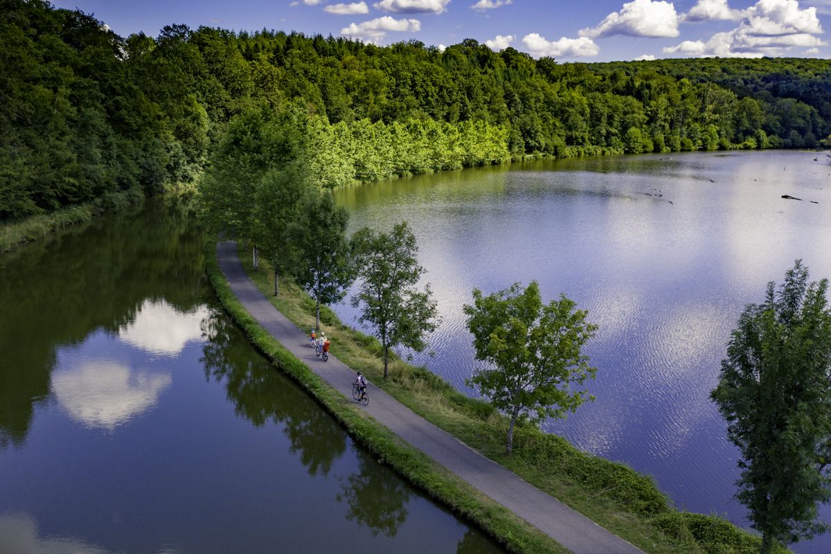
La Voie Bleue — “Cycle Route of the Year 2026”

From the Vosges to the Jura mountains – Hexatrek, le Grand Est
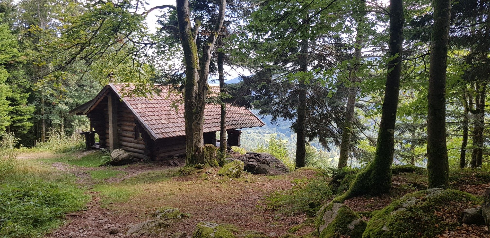
Hiking for Ballon lovers – Tour du Ballon d'Alsace in France
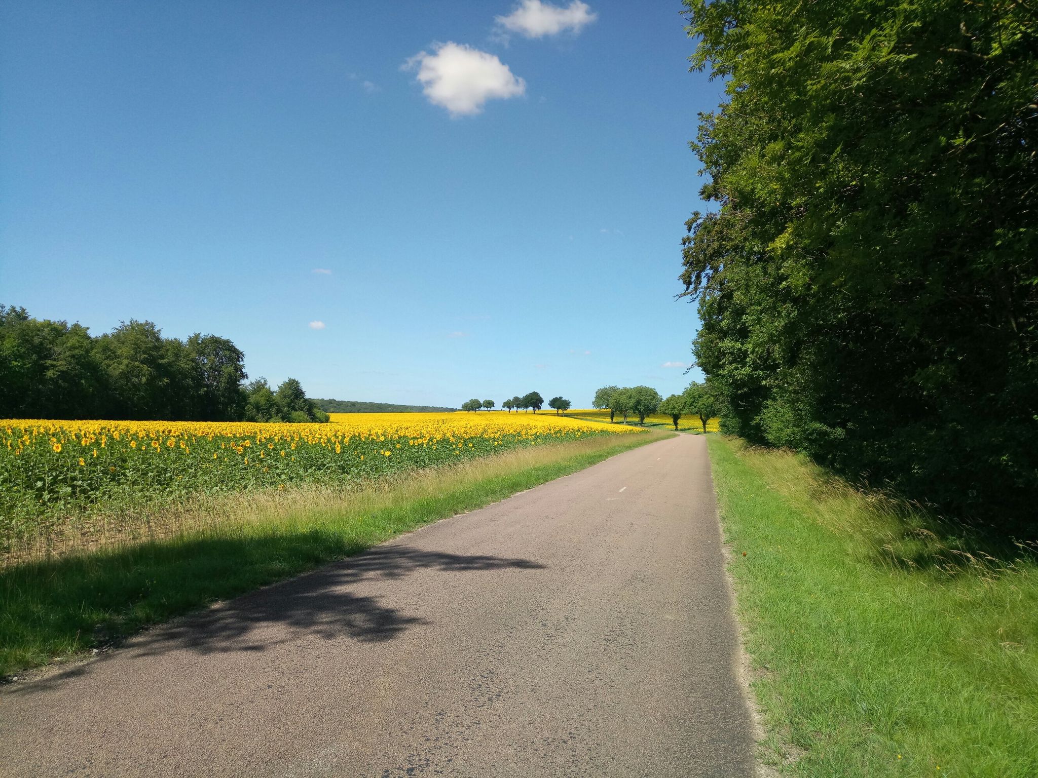
From Haute-Marne to Haute-Saône – discover France’s Forêts National Park
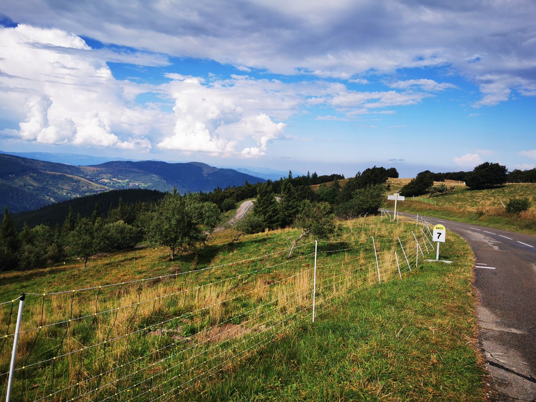
Climbing the Vosges in France — Les 3 Ballons
Other adventures in Haute-Saône


Tips from the Community

De Col des Croix is a 679-meter-high mountain pass in the French Vogezen massif, located on the border of the Vosges and Haute-Saône departments. The pass forms an accessible connecting road (the D486) between the northern Le Thillot and the southern Servance. At the top, you will find the well-known Le Chalet Snack du Col des Croix, and the road splits towards the D16 (Route des Forts), the route that continues to the higher Ballon de Servance.
6
0
Le Chalet Snack du Col des Croix is a popular and informal stopping point for cyclists, hikers, and motorcyclists, located right at the top of the Col des Croix (on the border of Le Thillot, 679 m). It's the ideal place to recharge during or after the ascent of the Ballon de Servance.
7
0
The end of the climb is somewhat disappointing. There is nothing marked. No photo opportunity. You have a small parking lot, a closed military road, and a picnic spot well hidden under the trees. At the two yellow signs (mainly for hikers) there is the only indication that you are at the Ballon de Servance and at 1158 m. The climb is "cozy". No cars, completely shaded, a few kilometer markers.
7
0
From Plancher‑Bas, a long, quiet forest climb begins towards the Ballon de Servance, deep in the Parc naturel régional des Ballons des Vosges. Over more than 18 kilometers, you gain almost 900 meters in altitude, but the real height difference is in the final kilometers: there, stretches of 5 to 12% steadily push you upwards through dense, shady forest. The road is narrow, quiet, and feels purely natural — a climb where you get completely into rhythm. At the top, there is no classic viewpoint, but an open space near the military area: sober, quiet, and precisely for that reason so typical of Servance.
7
0

On 9.5 km, you gain 542m of elevation, so an average of 5.7%. The last 3 km in the forest are extremely steep and are almost constantly over 12%.
0
0

Very beautiful route, a must-do!
1
0
A small pass after the Ballon de Severance. Refreshment stand with a view.
3
0

The average gradient of 5.8% over the nine kilometers is not very representative of the climb, which is very tough from Miellin onwards with gradients reaching 17%. Not far from the Planche des Belles Filles, the Col des Chevrères offers a formidable sequence of climbs.
1
0
Frequently Asked Questions
What are some challenging mountain passes for experienced cyclists or hikers in Haute-Saône?
For a challenging experience, consider the Chevrères Pass, known for its brutal increases of up to 19%. The Ascent of Col des Chevrères from Rexelaxert via Miellin also offers formidable sequences of climbs, with gradients reaching 17%.
Are there any mountain passes in Haute-Saône known for their scenic viewpoints?
Yes, several passes offer great views. The Ballon de Servance, the highest point in Haute-Saône, provides extensive vistas. The Mont de Fourche Pass is also noted for its scenic beauty, and the Chevrères Pass offers beautiful views, especially on rainy days when clouds hang between the coniferous forests.
What is the best time of year to visit the mountain passes in Haute-Saône?
The best time to visit is generally from spring to autumn when the weather is milder and roads are clear. Access roads to higher passes like the Ballon de Servance partially close in winter due to snow, making summer and early autumn ideal for full exploration.
Are dogs allowed on trails around the Vosges mountain passes in Haute-Saône?
While many outdoor areas in the Vosges are dog-friendly, it's always best to check local regulations for specific trails. Be aware that some areas, like near the Chevrères Pass, have reports of potentially dangerous dogs, so caution is advised.
What are the parking facilities like at the mountain passes in Haute-Saône?
Parking availability varies by pass. Many passes, especially those with less traffic like the Mont de Fourche Pass, typically have informal parking areas. For popular summits like the Ballon de Servance, designated parking might be available, though it's good to be prepared for limited space during peak times.
What kind of wildlife can I expect to see around the mountain passes in Haute-Saône?
The mountain passes in Haute-Saône are situated within the Vosges mountains, a region rich in biodiversity. You might encounter various forest animals such as deer, wild boars, and a variety of bird species. Keep an eye out for local flora as well, especially in the quieter, forested sections.
Are there any lesser-known or 'hidden gem' mountain passes to explore?
While the Ballon de Servance is well-known, it's considered less frequented than other Vosges 'balloons,' offering a beautiful ascent in lonely nature. The Mont de Fourche Pass is also noted for having little traffic, providing a more tranquil experience.
What outdoor activities, besides cycling, can I do near the mountain passes in Haute-Saône?
Beyond cycling, the region offers excellent opportunities for hiking and running. You can find numerous trails, including moderate hikes like 'Grand Rosbeck' or 'Source du Planey — loop from Bouligney', and even waterfall hikes such as 'Champe Waterfalls – Waterfall - Saut de l'Ognon loop from Servance-Miellin'. For more options, explore the Hiking in Haute-Saône or Running Trails in Haute-Saône guides.
Are there specific hiking trails near the mountain passes in Haute-Saône?
Yes, there are many hiking opportunities. For example, near the passes, you can find trails like 'Bassin de Champagney — loop in the Parc Naturel Régional des Ballons des Vosges' which is an easy hike, or more moderate options like 'Water and Stone'. For a comprehensive list of trails, refer to the Hiking in Haute-Saône guide.
How accessible are the mountain passes in Haute-Saône by public transport?
Accessibility by public transport to the higher and more remote mountain passes in Haute-Saône can be limited. It's often recommended to use a car or bicycle to reach many of these locations, especially for passes deep within the Vosges mountains. Check local transport schedules for specific routes if you plan to rely on public transport.
What are the winter conditions like on mountain passes such as Col des Chevrères?
In winter, mountain passes in Haute-Saône, including the Chevrères Pass, can experience significant snow and ice. Access roads to higher elevations may be partially or fully closed and not cleared of snow, making winter conditions challenging and sometimes impassable for vehicles and even difficult for hiking without proper gear.
Are there any circular walking routes that incorporate mountain passes in Haute-Saône?
While specific circular routes directly over the passes aren't detailed, many hiking guides for the region offer loop trails that can incorporate sections of the passes or provide access to them. For instance, you can find various loop trails in the broader Hiking in Haute-Saône guide that explore the surrounding natural landscapes.
Which mountain pass is the highest point in Haute-Saône?
The highest point in the Haute-Saône department is the Ballon de Servance, which rises to 1216 meters above sea level. It belongs to the Vosges mountains and offers panoramic views.
Most popular routes in Haute-Saône
Most popular attractions in Haute-Saône

Get inspired with the komoot mobile app


Explore more
See even more epic mountain passes by checking out these guides in Haute-Saône:
