The best mountain hikes around Leimbach
4.0
(2)
13
hikers
4
hikes
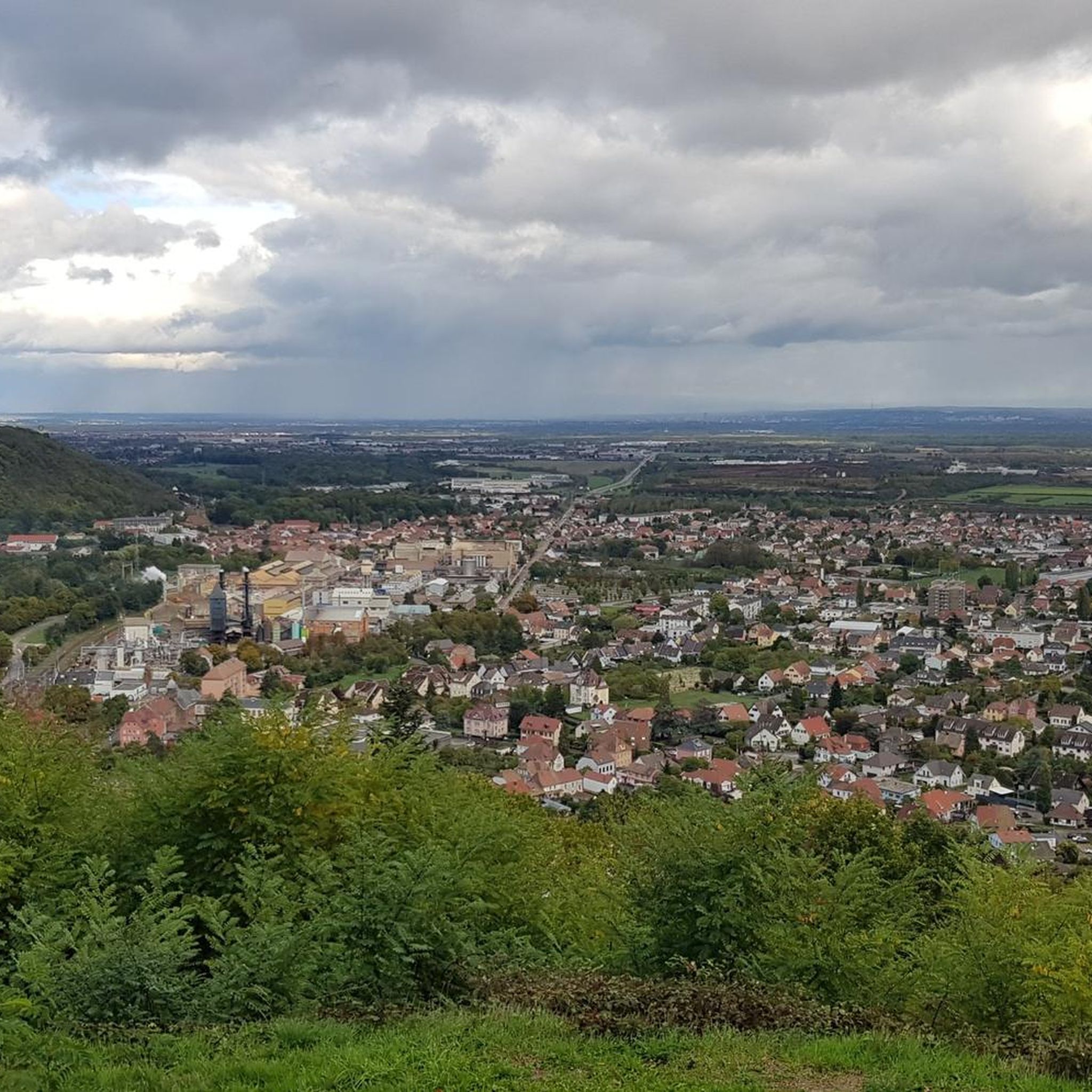
Mountaineering routes around Leimbach traverse a landscape characterized by significant elevation changes and varied terrain. The region, situated near Thann-Gebweiler, features mountain passes and viewpoints that offer expansive vistas. These routes often lead through forested areas and open mountain slopes, providing a diverse experience for mountaineers.
Best mountaineering routes around Leimbach
- The most popular mountaineering route is Hundsruck Pass – Panoramic view loop from Bourbach-le-Haut, a 9.7 miles (15.5 km) trail that takes 4 hours 57 minutes to complete.…
Last updated: July 1, 2026
5
hikers
15.5km
04:58
640m
640m
Moderate mountaineering route. Good fitness required. Easily-accessible paths. Suitable for all skill levels.
4
hikers
26.8km
08:45
1,200m
1,200m
Hard mountaineering route. Very good fitness required. Easily-accessible paths. Suitable for all skill levels.

Sign up for free
5.0
(1)
2
hikers
15.1km
05:12
820m
820m
Hard mountaineering route. Very good fitness required. Easily-accessible paths. Suitable for all skill levels.
3.0
(1)
2
hikers
12.8km
04:02
490m
490m
Moderate mountaineering route. Good fitness required. Easily-accessible paths. Suitable for all skill levels.
Our route recommendations are based on thousands of hikes, rides, and runs completed by other people on komoot.
Start today with a free account
Your next adventure awaits.
Login or Signup
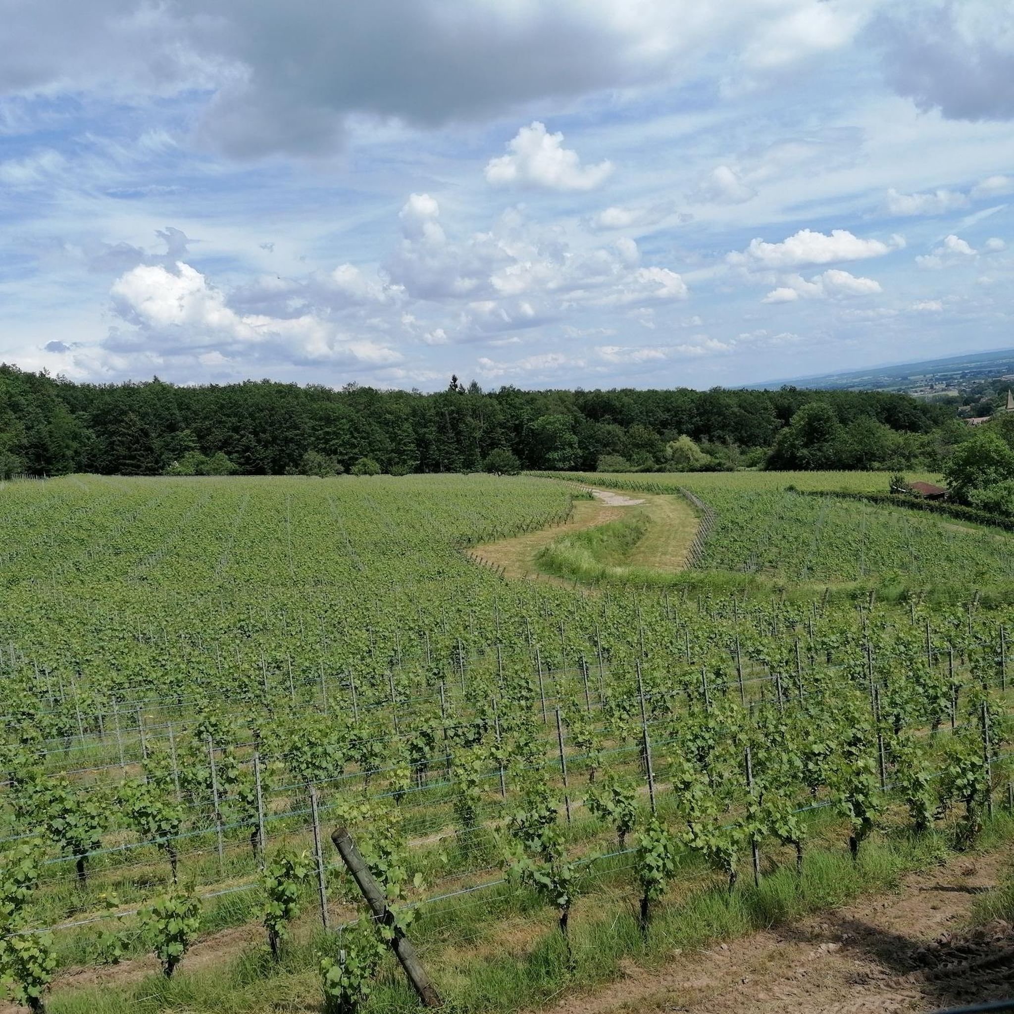
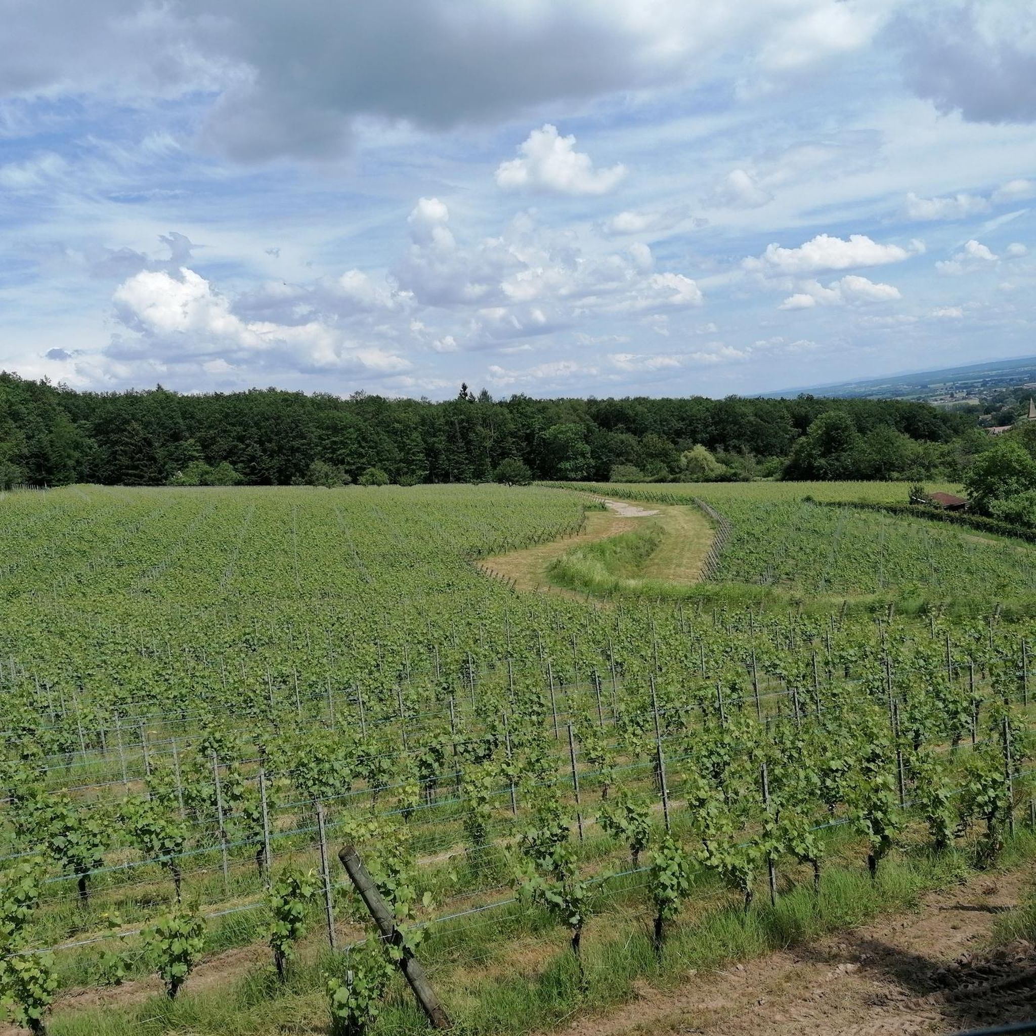
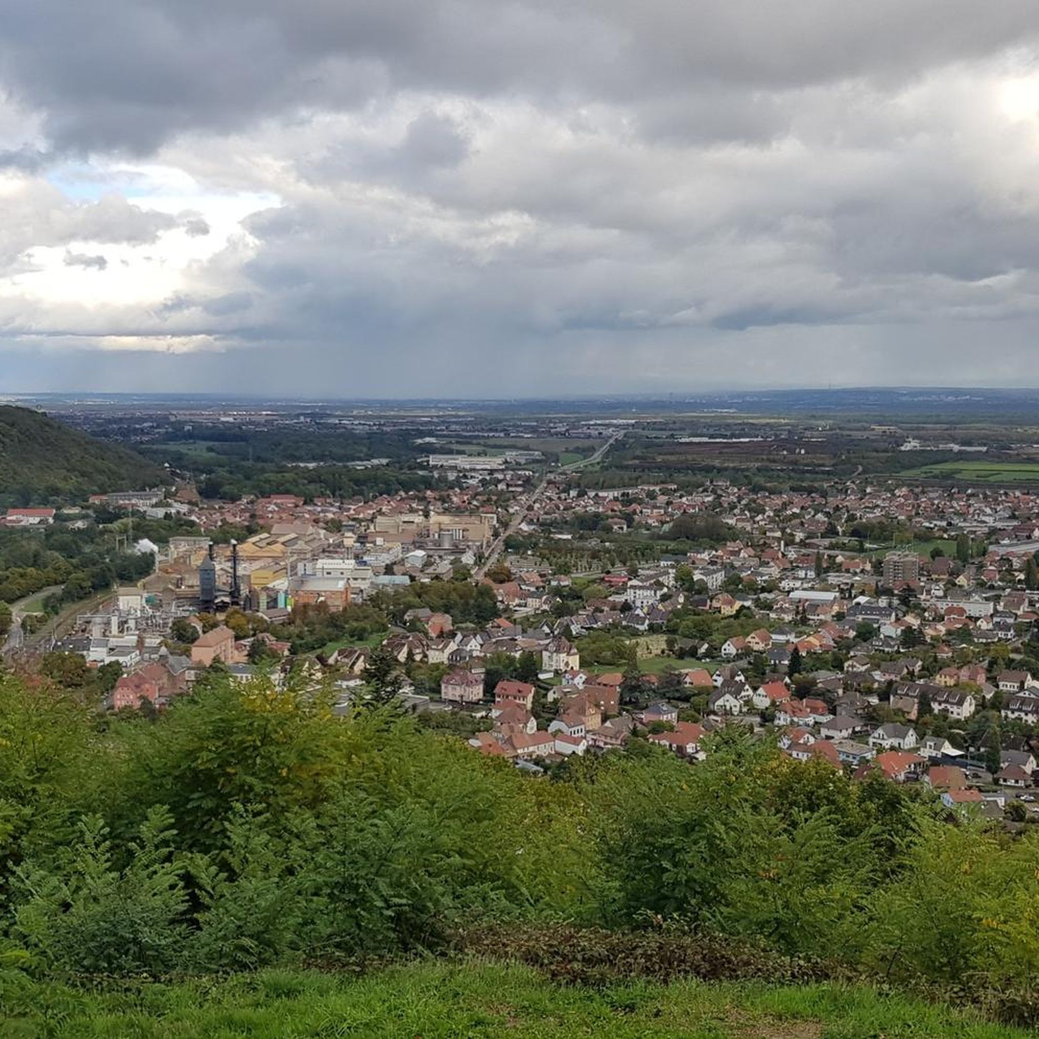
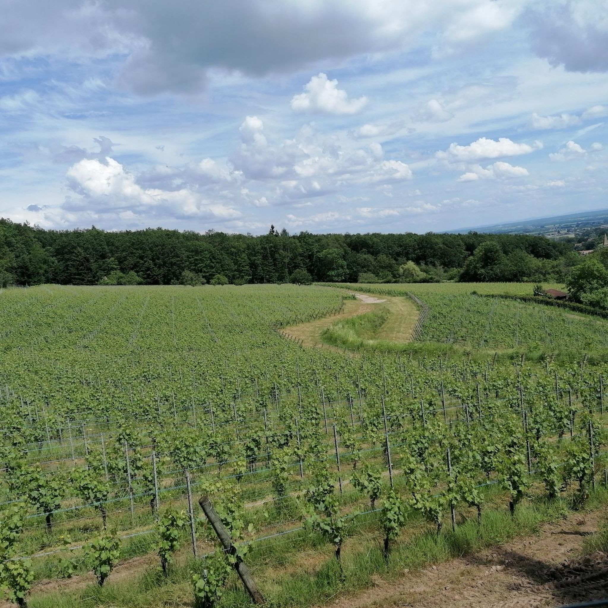

Tips from the Community

Beautiful hike and beautiful viewpoint
0
0


Vieil Armand, also known as Hartmannswillerkopf, is a striking mountain peak in the southern Vosges, near the Col Amic. This place is not only popular with cyclists because of the challenging climb and the panoramic view of the Rhine plain, but also an important historical monument. During the First World War, fierce fighting took place here between French and German troops, resulting in a static trench warfare. Today, the area is a national memorial with a crypt, military cemetery and well-preserved trenches. The climb to Vieil Armand via the Col Amic is not only sportingly rewarding, but also impressive because of the historical significance of the landscape.
6
0

Ferme Auberge Gsang: great view, good food
0
0

Beautiful rocky viewpoint pointing towards Belacker, Drumont and Tête des Perches
0
0
Rocky viewpoint located in the immediate vicinity of the Hundsdruck pass.
0
0

One of my favourite things about the Vosges, is the network of Auberge like this one. We had a delicious lunch at Auberge Gsang. 3 courses with: Soup, beef stew and local cheese and/or dessert. The auberge is run by a couple and everything home-made. As it was a snowy crisp day; the open fire was waiting to warm us up. In the summer; there is outdoor seating with an incredible view. Note the auberge is only accessible by foot or bike and stands at 1,020 meters of elevation (c. 3,200 ft). It is open from Wednesday to Sunday but do call ahead of setting off to ensure it is open on that day. (Or be ready with a back-up in your rucksack)
0
0

As you hike through the picturesque French countryside, you’ll stumble upon the charming Ferme Auberge Gsang. Nestled among rolling hills and lush vineyards, this rustic farmhouse offers a delightful escape from the hustle and bustle of city life. After a day exploring the surrounding trails, you can relax on the terrace, savor delicious local cuisine, and enjoy stunning views of the countryside. Be sure to sample the farm’s homemade products, such as wine, cheese, and jams.
0
0
Frequently Asked Questions
What kind of mountaineering routes can I find around Leimbach?
Leimbach offers a variety of mountaineering routes characterized by significant elevation changes and diverse terrain. You'll find paths leading through forested areas and open mountain slopes, often featuring mountain passes and rewarding viewpoints. The routes range from moderate to difficult, providing options for different skill levels.
Are there any moderate mountaineering routes suitable for those looking for a less strenuous challenge?
Yes, there are moderate options available. For example, the Hundsruck Pass – Panoramic view loop from Bourbach-le-Haut is a moderate 9.7-mile (15.5 km) route that offers panoramic views. Another moderate choice is the Lourdes Grotto – Moosch loop from Moosch, which covers 7.9 miles (12.8 km).
What are some of the more challenging mountaineering routes in the Leimbach area?
For experienced mountaineers seeking a challenge, the Hundsruck Pass – Vogelstein (Bird Rock) loop from Willer-sur-Thur is a difficult 16.6-mile (26.8 km) path with substantial elevation gain, leading to the notable Vogelstein. Another difficult option is the Viewpoint loop from Wattwiller, a 9.2-mile (14.8 km) trail known for its varied terrain and scenic vistas.
Are there any circular mountaineering routes around Leimbach?
Yes, all the featured mountaineering routes in this guide are circular. This includes the popular Hundsruck Pass – Panoramic view loop from Bourbach-le-Haut and the more challenging Hundsruck Pass – Vogelstein (Bird Rock) loop from Willer-sur-Thur, allowing you to start and end at the same point.
What kind of landmarks or points of interest can I discover near the mountaineering trails?
The Leimbach area is rich in historical and natural points of interest. You can explore historical sites like the Adlerhorst Command Post – World War I or the Veilchenstein German WW1 Bunker. There are also fascinating caves and mines such as the Lower Rehfelsen Tunnels and the Schletzenbourg medieval mine. For those interested in castles, you might find the Ruins of Freundstein Castle or the Ruins of Rougemont Castle nearby.
What do other mountaineers say about the routes in Leimbach?
The mountaineering routes around Leimbach are highly regarded by the komoot community, holding an average rating of 4.0 stars. Users often highlight the diverse terrain, the rewarding viewpoints, and the challenging ascents that define the region's trails.
Is Leimbach suitable for beginner mountaineers?
While Leimbach's mountaineering routes are generally characterized by significant elevation changes, there are moderate options that could be suitable for beginners with a reasonable level of fitness. The Hundsruck Pass – Panoramic view loop from Bourbach-le-Haut is a good starting point, offering a manageable distance and elevation gain.
What is the best time of year for mountaineering in Leimbach?
The best time for mountaineering in Leimbach is typically during the warmer months, from late spring to early autumn (May to October), when the weather is more stable and trails are clear of snow. This allows for optimal enjoyment of the panoramic views and varied terrain.
Are there any viewpoints along the mountaineering routes in Leimbach?
Yes, the region is known for its rewarding viewpoints. Many routes, such as the Viewpoint loop from Wattwiller, are specifically designed to lead to scenic overlooks, offering expansive vistas across the surrounding mountains and valleys.
How many mountaineering routes are available in the Leimbach area?
There are four distinct mountaineering routes detailed in this guide for the Leimbach area, offering a range of experiences from moderate to difficult.
Can I find any historical sites or castles to visit near the trails?
Absolutely. The region around Leimbach is dotted with historical sites and castle ruins. You can visit the The Witch's Eye (Engelbourg Castle) or enjoy the View from Château du Herrenfluh. These sites provide a fascinating glimpse into the area's past and often offer great views.
Most popular routes around Leimbach
Most popular attractions around Leimbach

Get inspired with the komoot mobile app


Explore more
Browse the best Mountain Hikes & Routes in other regions.
