The best gravel rides around Plateau de Chamoise
4.5
(4)
29
riders
4
rides
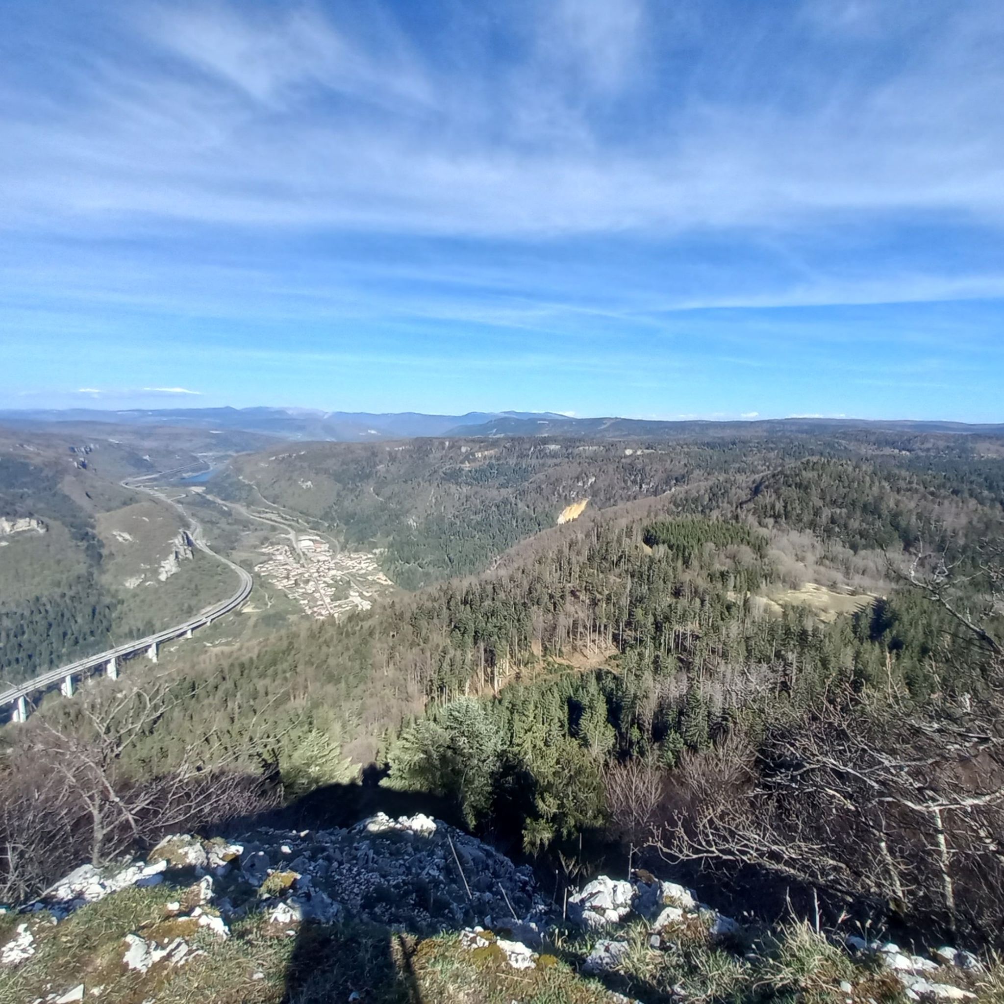
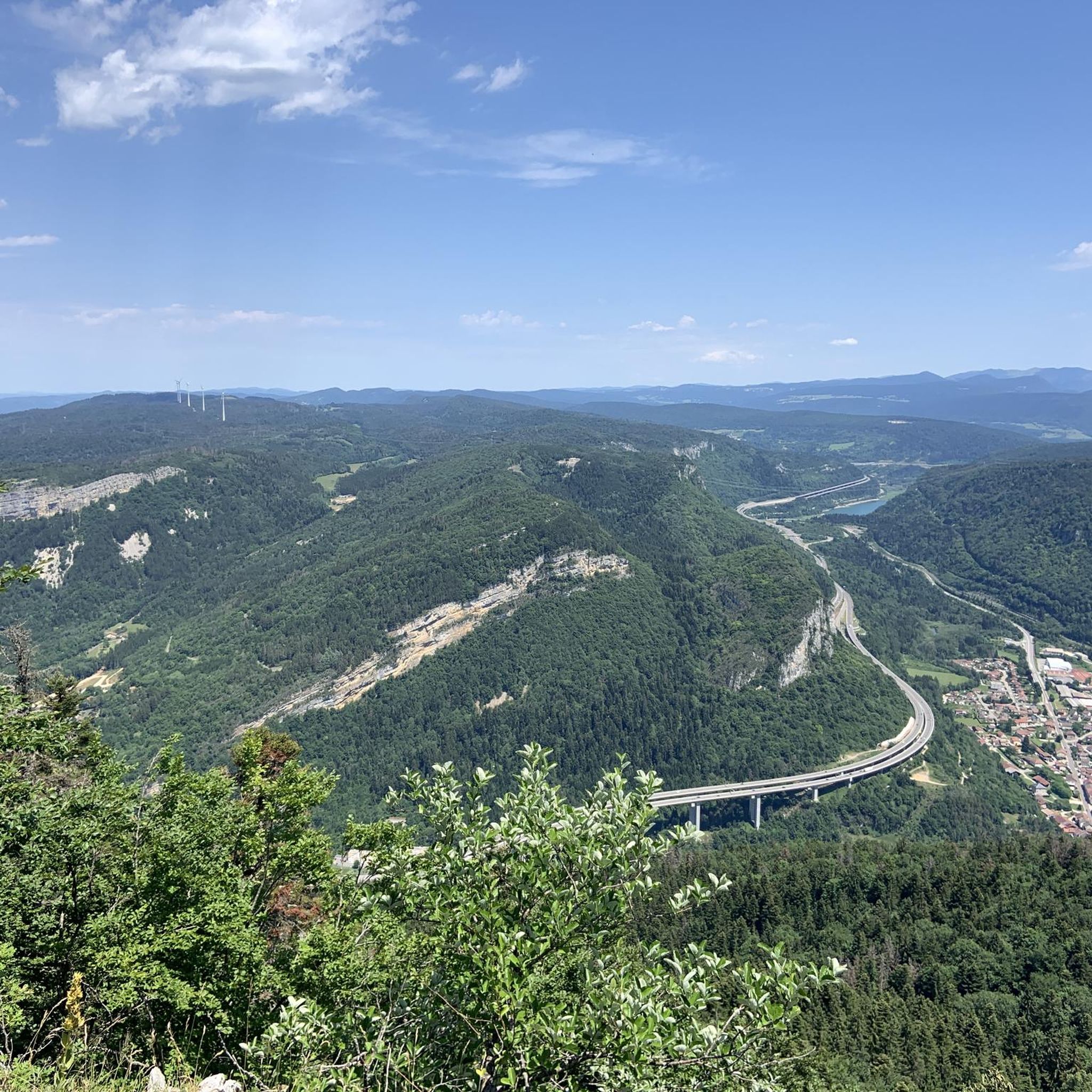
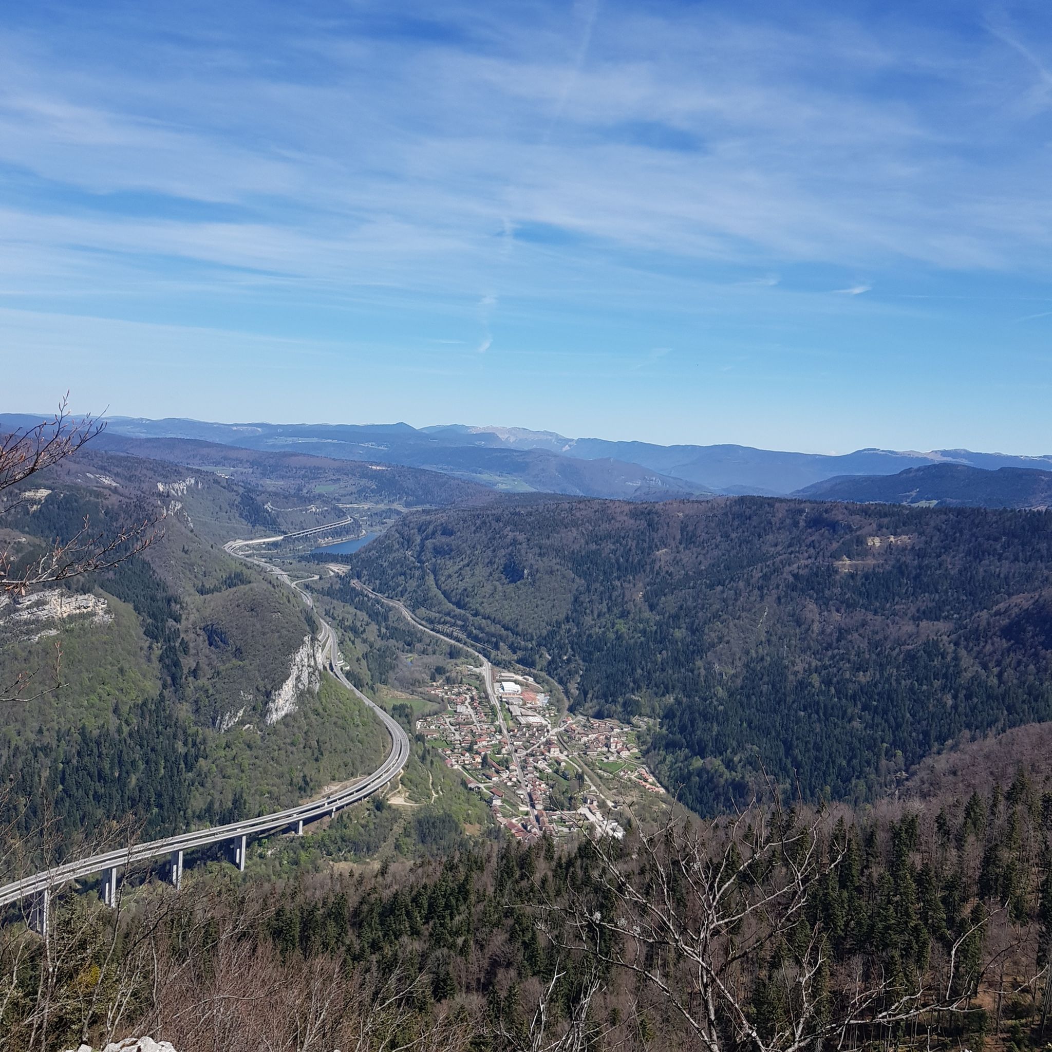
Gravel biking around Plateau de Chamoise offers diverse terrain within the Monts d'Ain, characterized by forest paths and drivable tracks. The region features varied topography, including ascents through wooded areas and descents. Elevated positions provide panoramic views over the surrounding landscape, including Lac de Nantua. These natural features create an environment suitable for gravel cyclists.
Best gravel bike trails around Plateau de Chamoise
- The most popular gravel bike trail is Lake Nantua – Lac de Nantua loop from Brion -…
Last updated: July 10, 2026
4.5
(2)
13
riders
39.8km
02:48
760m
760m
Hard gravel ride. Very good fitness required. You may need to push your bike for some segments of this route.
3
riders
34.0km
02:31
660m
660m
Hard gravel ride. Very good fitness required. You may need to push your bike for some segments of this route.

Sign up for free
2
riders
40.7km
02:52
770m
770m
Hard gravel ride. Very good fitness required. Mostly paved surfaces. Suitable for all skill levels.
4.5
(2)
4
riders
23.4km
01:53
300m
300m
Moderate gravel ride. Good fitness required. Mostly paved surfaces. Suitable for all skill levels.
5
riders
105km
08:09
2,430m
2,430m
Hard gravel ride. Very good fitness required. Mostly paved surfaces. Suitable for all skill levels.
Our route recommendations are based on thousands of hikes, rides, and runs completed by other people on komoot.
Start today with a free account
Your next adventure awaits.
Login or Signup
Tips from the Community

The ruin is very beautiful, panels indicate the history of the site, very instructive! Calm and relaxing, the site offers a magnificent setting and allows for nice picnic breaks!
0
0
Magnificent brown ponds, calm and relaxing, a must-see stop!
0
0

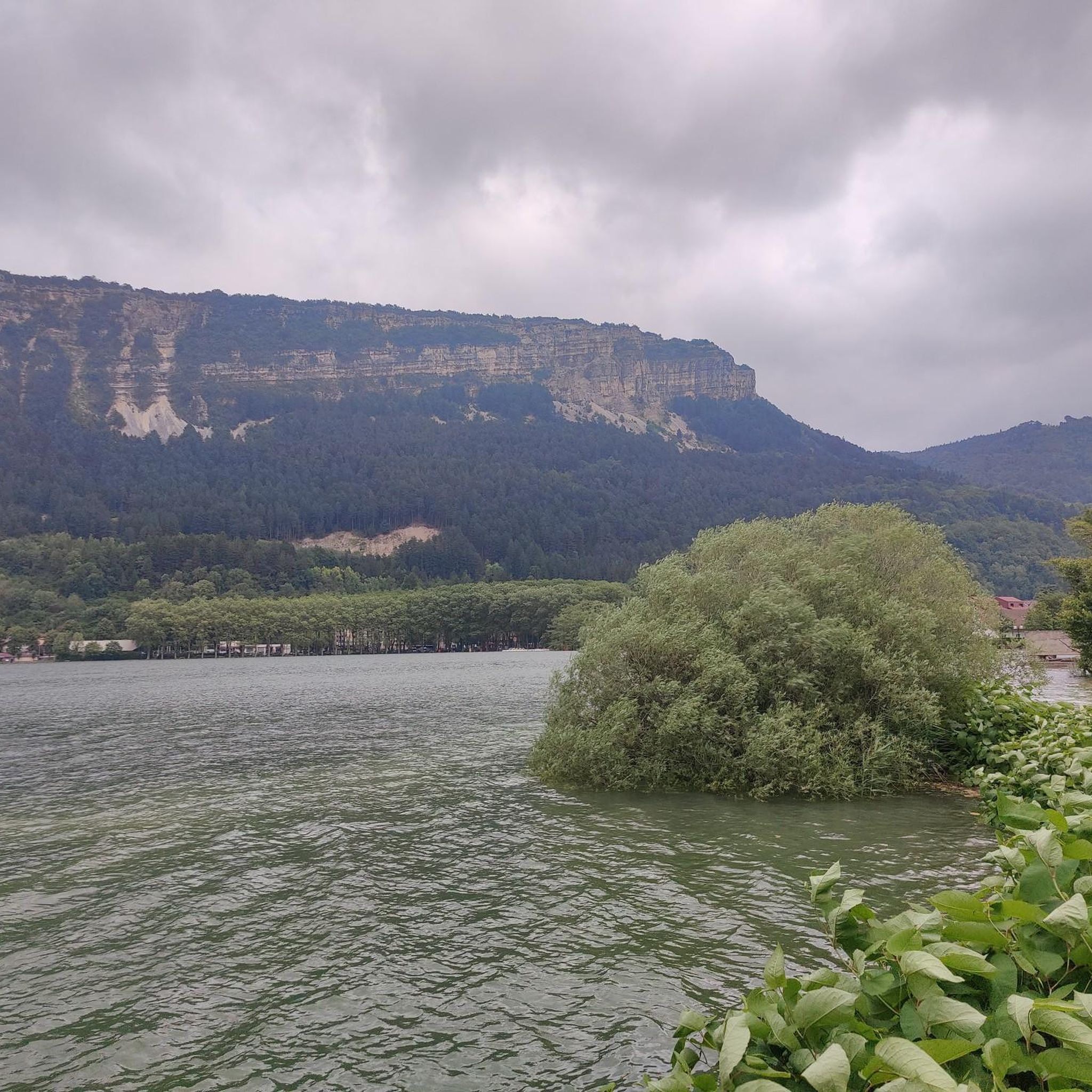
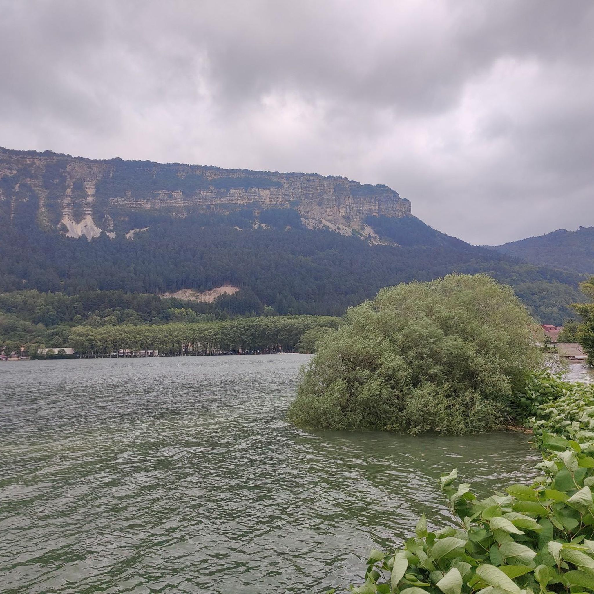
The Lac de Nantua is a superb body of water of 141 hectares. In the heart of the Jura, it offers an ideal setting for practicing a multitude of sports. It is even possible to swim in its waters.
1
0
The Peney viewpoint overlooks Lake Sylans, on which it offers a beautiful view. Classified since 1909, one can distinguish on its banks the ruins of the old ice factories which commercialized the ice extracted from the lake until 1917. The passage is located at the level of the tunnel of the same name.
0
0
The Marron ponds are named after a family from Brénod, it is not a reference to the color of the water. Only one of them remains filled with water all year round. This one served as a water reserve and fishing spot for the monks of the Meyriat abbey. In spring, a multitude of water lilies cover the surface.
0
0

Nestled in pastures at an altitude of 1,000 meters, Giron is the highest (and sunniest!) village in the Ain. Welcoming, with breathtaking views, it is ideal for an overnight stop.
0
0
Beautiful, simple, easy walk; lots of traffic noise on the "road" section, a bit of a shame, but the color of the water is magical
1
0
Frequently Asked Questions
How many gravel bike trails are available in Plateau de Chamoise?
Plateau de Chamoise offers a selection of 6 gravel bike trails, ranging from moderate to difficult. These routes are well-suited for gravel bikes, providing diverse terrain and scenic views across the Monts d'Ain.
What kind of terrain can I expect on gravel bike trails in Plateau de Chamoise?
The terrain in Plateau de Chamoise is diverse, featuring a mix of 'chemins forestiers' (forest paths) and 'pistes carrossables' (drivable tracks). You'll encounter ascents through wooded areas and descents that can be steep. Surfaces vary from compacted dirt to potentially looser gravel sections, offering an engaging experience for gravel cyclists.
Are there any easy gravel bike routes for beginners in Plateau de Chamoise?
While many routes in Plateau de Chamoise are rated difficult, there is one moderate option: the Brenod plateau. This 14.6-mile (23.4 km) trail offers a less challenging experience, making it a good choice for those newer to gravel biking in the region.
What are some notable landmarks or viewpoints along the gravel bike trails?
The elevated positions of Plateau de Chamoise offer breathtaking panoramic views, including the picturesque Lac de Nantua. On clear days, you might even catch a glimpse of Mont Blanc. Along the trails, you can also discover unique natural attractions like the 'Doigts du Diable' (Devil's Fingers) and historical elements such as the ruins of the Grange de l'Ours.
What is the best time of year to go gravel biking in Plateau de Chamoise?
The varied terrain, including steep descents, can be particularly challenging in wet conditions. For the most enjoyable experience, consider visiting during drier seasons when the forest paths and tracks are less prone to mud and slippery surfaces. Always check local weather forecasts before heading out.
Are there any long-distance gravel bike routes in the area?
Yes, for those seeking a longer ride, the Lake Genin – Lake Nantua loop from Nurieux-Volognat is a challenging 38.0-mile (61.2 km) trail with significant elevation gain, offering expansive views. Another substantial option is the Lake Nantua – Lac de Nantua loop from Brion - Montréal-la-Cluse, which covers 27.9 miles (44.9 km) and provides scenic vistas of Lake Nantua.
What do other gravel bikers enjoy most about the trails in Plateau de Chamoise?
The komoot community highly rates the gravel biking experience in Plateau de Chamoise, with an average score of 4.8 stars from over 3 reviews. Riders often praise the diverse terrain, the freedom to explore car-free environments, and the stunning panoramic views over Lac de Nantua and the surrounding landscape.
Are there any circular gravel bike routes in Plateau de Chamoise?
Many of the routes in Plateau de Chamoise are designed as loops, allowing you to start and finish in the same location. Examples include the Lake Nantua – View of Lake Nantua loop from Le Chateau and The Ascent of Apremont – Apremont wind farm loop from Brion - Montréal-la-Cluse, both offering challenging circular rides.
Is Plateau de Chamoise suitable for advanced gravel bikers?
Absolutely. The region is well-suited for advanced gravel bikers, with five out of six routes rated as difficult. These trails feature significant elevation changes and varied surfaces, providing a challenging and rewarding experience for those seeking technical skill and endurance.
Are there any amenities like cafes or accommodation near the gravel biking routes?
While the guide focuses on the trails themselves, the region around Plateau de Chamoise, particularly towns like Nantua or Brion - Montréal-la-Cluse, would be the best places to look for cafes, pubs, and accommodation options to support your gravel biking adventure.
Most popular routes around Plateau de Chamoise

Get inspired with the komoot mobile app


Explore more
Browse the best Gravel rides in other regions.
