The best gravel rides in Réserve Biologique Dirigée Des Hauts De Bousson
4.6
(6)
35
riders
4
rides
Gravel biking in Réserve Biologique Dirigée Des Hauts De Bousson traverses a landscape characterized by varied terrain, including forested areas and elevated sections. The region features a mix of natural surfaces suitable for gravel biking, with routes that often include climbs and descents. This managed biological reserve is known for its sandstone cliffs and varied habitats, including boggy areas, set within a plateau region. These paths provide access to a natural environment for exploration.
Best gravel bike trails in Réserve…
Last updated: October 21, 2026
3.8
(4)
19
riders
46.1km
02:58
600m
600m
Hard gravel ride. Very good fitness required. Mostly paved surfaces. Suitable for all skill levels.
5.0
(1)
5
riders
68.6km
05:18
1,310m
1,310m
Hard gravel ride. Very good fitness required. You may need to push your bike for some segments of this route.

1
riders
18.0km
01:11
240m
240m
Moderate gravel ride. Good fitness required. Mostly paved surfaces. Suitable for all skill levels.
5.0
(1)
7
riders
46.0km
03:07
620m
610m
Hard gravel ride. Very good fitness required. Mostly paved surfaces. Suitable for all skill levels.
3
riders
24.2km
01:38
350m
350m
Moderate gravel ride. Good fitness required. Mostly paved surfaces. Suitable for all skill levels.
Our route recommendations are based on thousands of hikes, rides, and runs completed by other people on komoot.
Start today with a free account
Your next adventure awaits.
Popular around Réserve Biologique Dirigée Des Hauts De Bousson
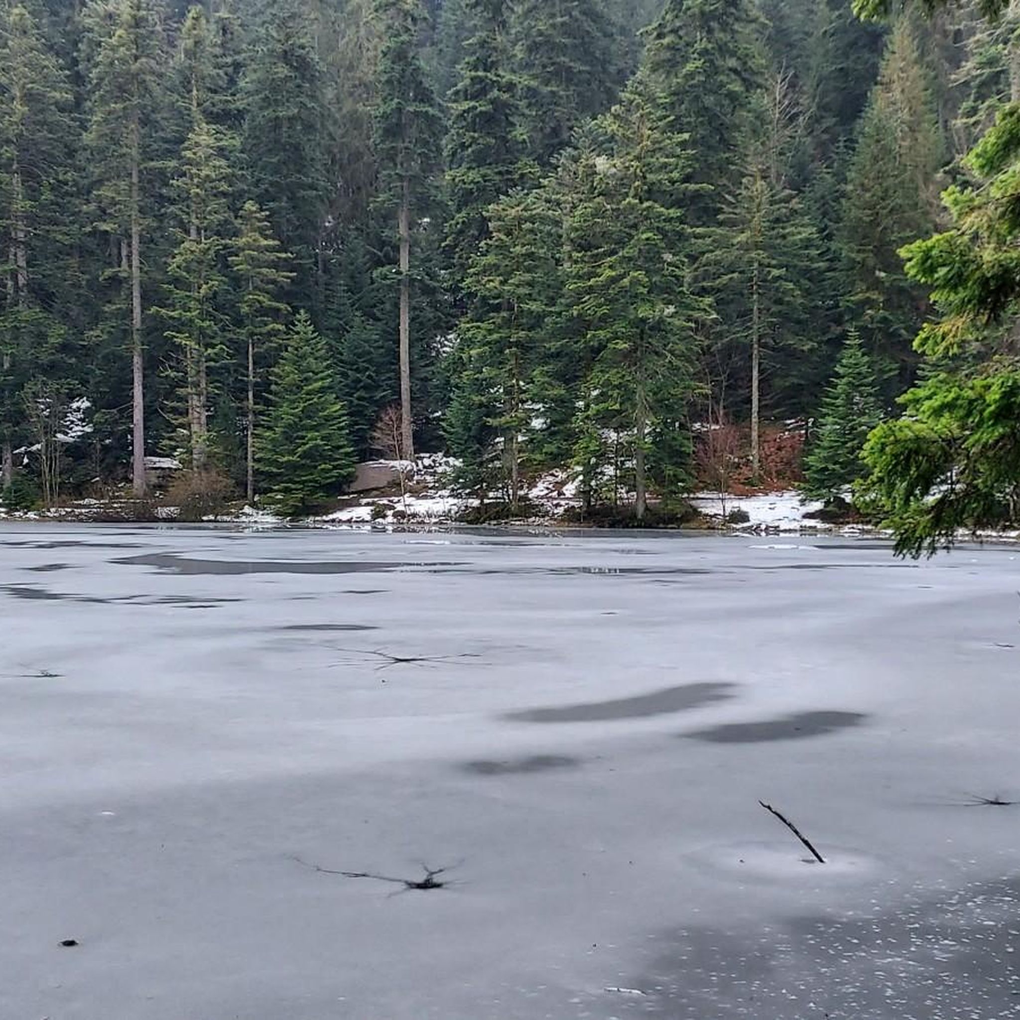
MTB Trails in Réserve Biologique Dirigée Des Hauts De Bousson
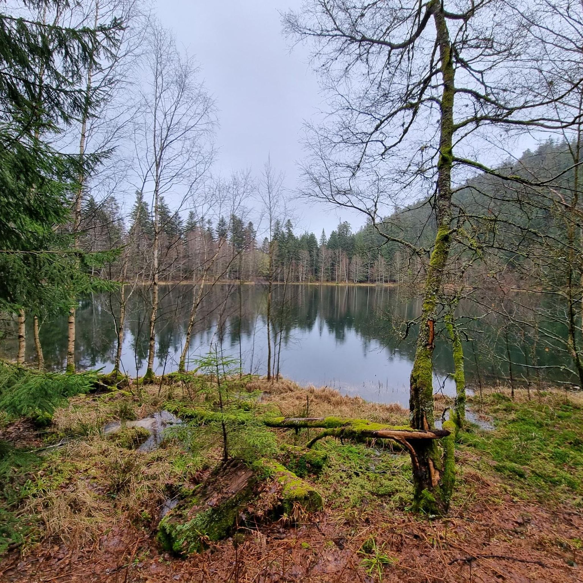
Hiking in Réserve Biologique Dirigée Des Hauts De Bousson

Running Trails in Réserve Biologique Dirigée Des Hauts De Bousson
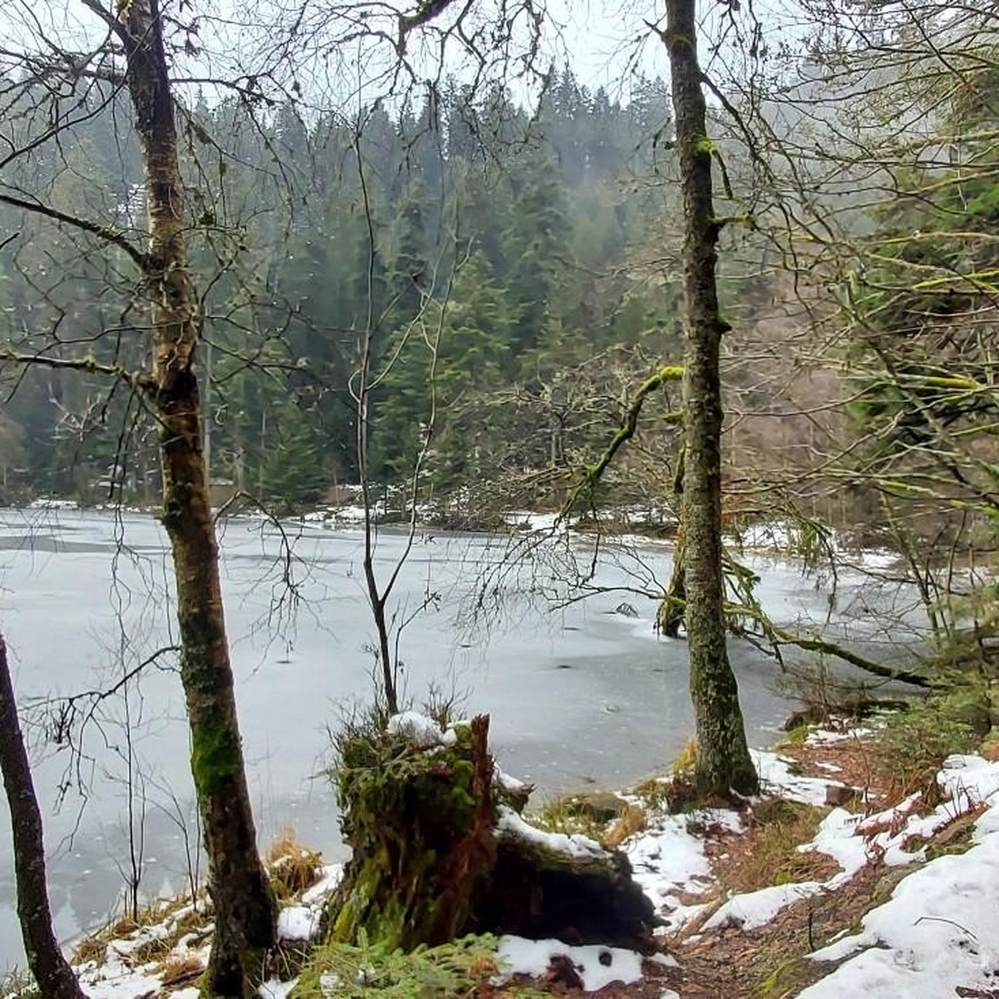
Cycling in Réserve Biologique Dirigée Des Hauts De Bousson
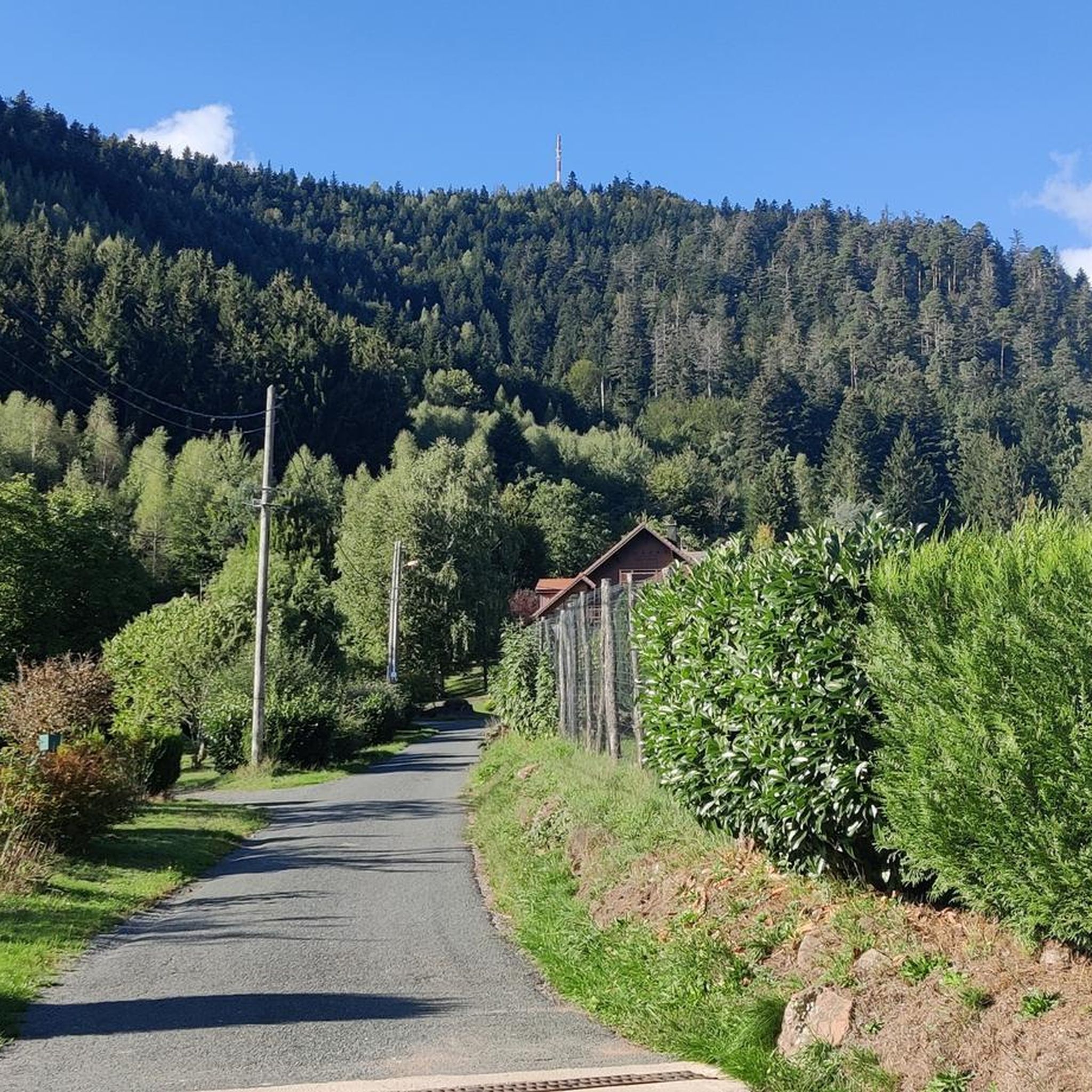
Road Cycling Routes in Réserve Biologique Dirigée Des Hauts De Bousson
Tips from the Community

A nice little village in an idyllic region.
4
0
A refuge at the summit...
4
0

Beautiful route, pleasant but lots of bikers...
0
0

A long and beautiful forest road. However, it's bumpy in places on a road bike!
0
0

Situated in the heart of the Vosges, this dam, together with Lac de la Plaine, forms an important water reservoir. The dam was built to feed Lac de Pierre-Percée via an underground system. The climb up to it is gradual and rewards you with a view of the peaceful Lac de la Plaine. The road along the lake is ideal for a breather, with little traffic and lots of nature. Perfect for a short break or a photo opportunity during your ride.
9
0
"The Mairie de Badonviller was originally built in 1811, during the Napoleonic era, and served as the administrative centre of the young municipality. After being badly damaged during the First World War, the building was rebuilt in 1924. "Located on the edge of the Vosges in the Meurthe-et-Moselle department, Badonviller is a village with a turbulent history. In the 19th century, it became a local centre thanks to the flourishing faience industry. But it was during the First World War that Badonviller became known nationwide. On 12 August 1914, the village was one of the first French municipalities to be occupied and pillaged by Bavarian troops. This event was widely reported in the French press and made Badonviller a symbol of German brutality. The village was badly damaged during the fighting and later partially rebuilt. Today, monuments, the necropolis and the townscape bear witness to this turbulent period. Badonviller is part of the 'sentiers de mémoire' — memorial routes that keep the history of the war in the Vosges alive."
6
0
"The giant Monument aux Morts de Badonviller, located next to the Église Saint-Martin, is an impressive memorial commemorating the village's inhabitants who died or went missing during the Great War (1914–1918), the Second World War, and the conflicts in Indochina (1946–1954) and Algeria (1954–1962).
6
0
"The Église Saint-Martin in Badonviller is a rare example of religious architecture in the Louis XVI style (1788). Although it is of Romanesque origin, its elegant façade is particularly striking, which is one of the few remaining examples of this style in the Lorraine region. Together with the Chapel of the Visitation in Nancy, this church forms a unique duo. The church was badly damaged during the First World War and partially rebuilt afterwards.
6
0
Frequently Asked Questions
What is the general difficulty level of gravel biking in Réserve Biologique Dirigée Des Hauts De Bousson?
The gravel bike trails in Réserve Biologique Dirigée Des Hauts De Bousson offer a mix of moderate to difficult routes. You'll find paths with varied elevation, including significant climbs and descents, suitable for riders with some experience looking for a challenge.
Are there any family-friendly gravel bike trails in Réserve Biologique Dirigée Des Hauts De Bousson?
While many routes feature varied elevation and can be challenging, the Lac de la Plaine – Lake La Plaine loop from Celles-sur-Plaine is a moderate 11.7 miles (18.8 km) path that offers views of the lake and surrounding natural areas, which might be suitable for families looking for a shorter ride.
How long are the gravel bike trails in Réserve Biologique Dirigée Des Hauts De Bousson?
The gravel bike trails in the reserve vary in length. You can find shorter routes like the Lac de la Plaine – Lake La Plaine loop from Celles-sur-Plaine at 11.7 miles (18.8 km), or longer, more demanding options such as the Poilus' Cave – Chapelotte Pass loop from Pierre-Percée, which spans 43.4 miles (69.9 km).
Can I find circular gravel bike routes in Réserve Biologique Dirigée Des Hauts De Bousson?
Yes, all the gravel bike routes in Réserve Biologique Dirigée Des Hauts De Bousson are designed as loops. Examples include the Poilus' Cave – Chapelotte Pass loop from Pierre-Percée and the Pré Barbier Lake – M4A2 Sherman Tank "Mort-Homme loop from Fenneviller.
Is parking available near the gravel bike trails in Réserve Biologique Dirigée Des Hauts De Bousson?
As a biological reserve, parking facilities might be limited to designated areas at trailheads or nearby villages. It's advisable to check specific starting points for available parking before your ride.
Do I need a permit to gravel bike in Réserve Biologique Dirigée Des Hauts De Bousson?
Generally, gravel biking on established trails within biological reserves does not require a specific permit for recreational use. However, it's always recommended to respect local regulations and stay on marked paths to protect the natural environment.
What is the best time of year for gravel biking in Réserve Biologique Dirigée Des Hauts De Bousson?
The best time for gravel biking is typically from spring through autumn when the weather is milder and trails are dry. The forested paths and varied terrain are particularly enjoyable during these seasons.
Is winter gravel biking possible in Réserve Biologique Dirigée Des Hauts De Bousson?
Winter gravel biking can be challenging due to potential snow, ice, or muddy conditions, especially on trails with significant elevation changes. It's best to check local weather and trail conditions before attempting a winter ride.
Are there good viewpoints along the gravel bike trails in Hauts De Bousson?
Yes, the routes often feature lake views and traverse elevated sections, providing scenic viewpoints. For instance, the Lac de la Plaine – Lake La Plaine loop from Celles-sur-Plaine offers views of the lake and surrounding natural areas.
What do other gravel bikers enjoy the most about gravel biking in Réserve Biologique Dirigée Des Hauts De Bousson?
The area is highly rated by the komoot community, with an average score of 5.0 stars. Reviewers often praise the diverse natural landscapes, including forested paths and lake views, as well as the varied elevation that provides an engaging riding experience.
Are there any historical points of interest along the gravel bike trails?
Yes, some routes pass by historical sites. For example, the Pré Barbier Lake – M4A2 Sherman Tank "Mort-Homme loop from Fenneviller leads through forested sections and past historical points of interest, offering a blend of nature and history.
How many gravel bike trails are available in Réserve Biologique Dirigée Des Hauts De Bousson?
There are several gravel bike trails available in Réserve Biologique Dirigée Des Hauts De Bousson, offering a range of distances and difficulties for exploration.
Most popular routes in Réserve Biologique Dirigée Des Hauts De Bousson

Get inspired with the komoot mobile app


Explore more
Browse the best Gravel rides in other regions.
