The best walks and hikes around Saulxures-Lès-Vannes
4.4
(15)
101
hikers
15
hikes
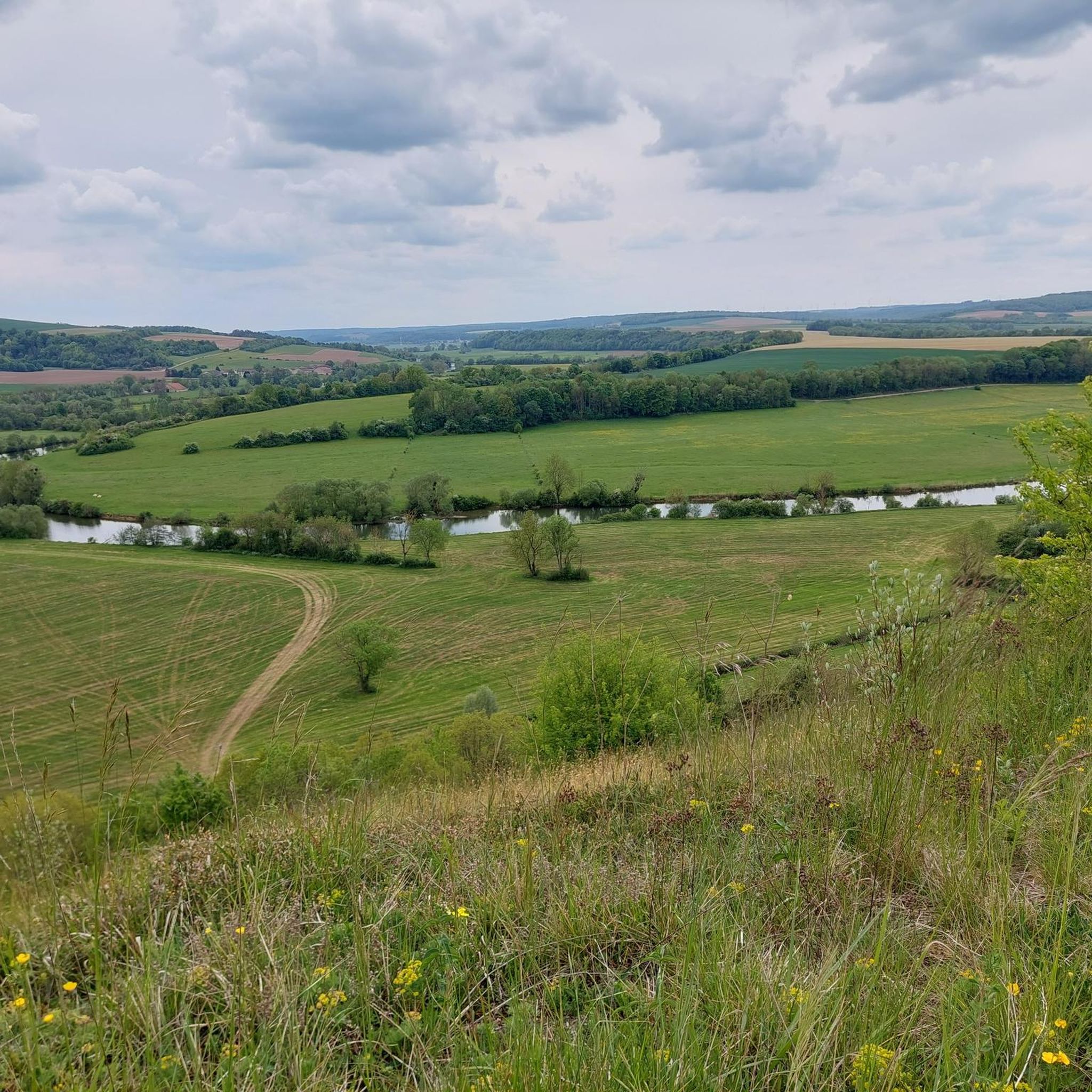
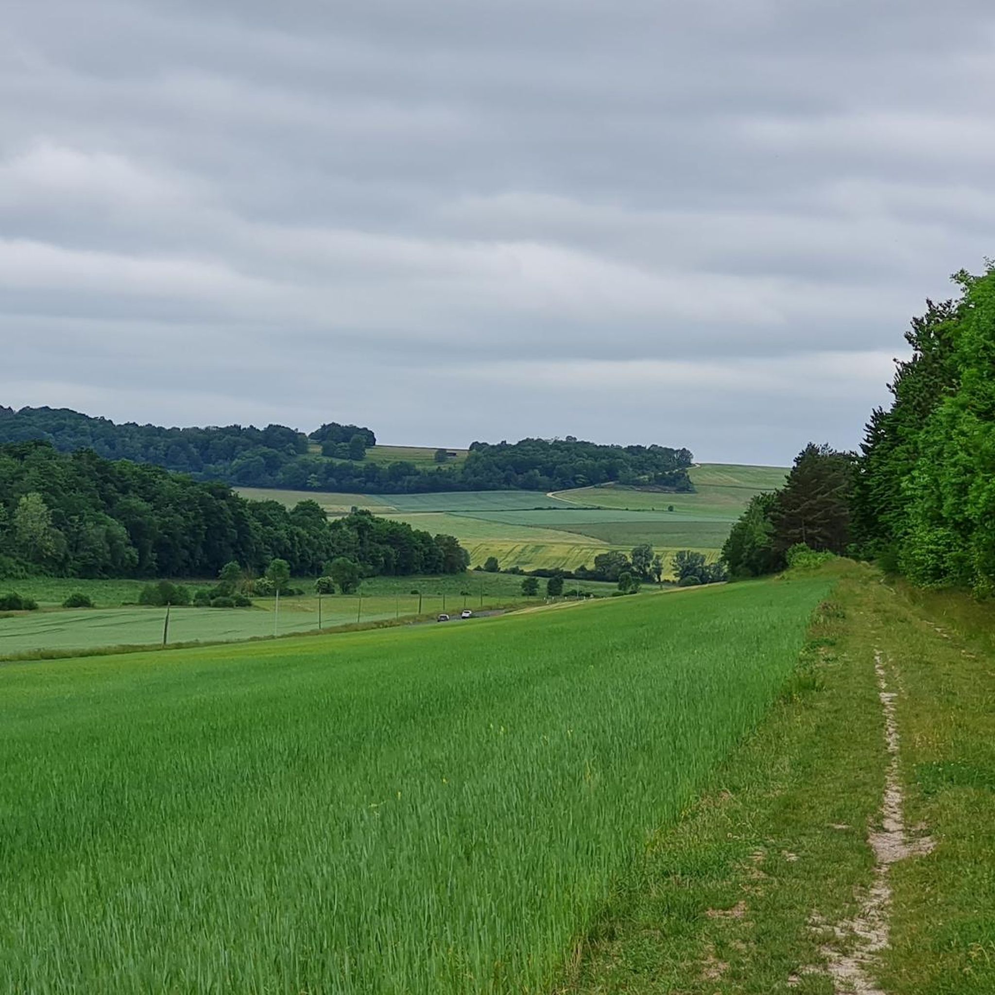
Hiking around Saulxures-Lès-Vannes offers a variety of trails through the rolling terrain of the Meurthe-et-Moselle department. The region is characterized by a mix of agricultural land, dense woodlands, and gentle hills, providing diverse environments for outdoor exploration. Elevation changes are moderate, making many routes accessible while still offering engaging climbs. This landscape provides a tranquil setting for hikers seeking natural beauty.
Best hiking trails around Saulxures-Lès-Vannes
- The most popular hiking route is Deuille de Crézilles loop from Crézilles, a…
Last updated: July 5, 2026
4.7
(3)
22
hikers
12.5km
03:19
120m
120m
Moderate hike. Good fitness required. Easily-accessible paths. Suitable for all skill levels.
4.5
(2)
13
hikers
21.0km
05:46
340m
340m
Hard hike. Very good fitness required. Easily-accessible paths. Suitable for all skill levels.

Sign up for free
4.0
(1)
9
hikers
13.7km
03:46
220m
220m
Moderate hike. Good fitness required. Easily-accessible paths. Suitable for all skill levels.
4.3
(3)
7
hikers
6.74km
01:50
100m
100m
Easy hike. Great for any fitness level. Easily-accessible paths. Suitable for all skill levels.
5.0
(1)
3
hikers
13.6km
03:49
280m
280m
Moderate hike. Good fitness required. Easily-accessible paths. Suitable for all skill levels.
Get access to more routes and recommendations from other explorers.
Sign up for free
Already have an account?
Our route recommendations are based on thousands of hikes, rides, and runs completed by other people on komoot.
Start today with a free account
Your next adventure awaits.
Login or Signup

Tips from the Community


Joan of Arc was a resistance fighter during the Hundred Years' War, an armed conflict between England and France. She is venerated as the Maid of Orleans in France. It is said that Joan was a very young, small woman dressed in men's clothing with short hair. From an early age, she was guided by divine voices. In 1431, she was sentenced to death for witchcraft and burned at the stake at the age of just 19. In 1920, she was canonized by the Pope. Statues, monuments, and museums in her honor can be found throughout the country.
1
0

Gothic-style Catholic church, built in the 13th century and expanded several times over the centuries. Joan of Arc, who left a strong mark on this region, was baptized here in 1412.
3
0
At this location is currently the grouping of three statues facing the current village: the Virgin, Sainte-Marguerite and Sainte-Jeanne d'Arc. It was in the 17th century that the old village was destroyed like many other villages in Lorraine. France and the Holy Roman Empire had entered into the 30 Years' War (1618-1648) and were competing for the independent Duchy of Lorraine.
2
0
The Bermont chapel was probably founded in the 12th century by the Benedictine abbey of Bourgueil, near Angers. In the 13th century, it was attached to the Gerbonvaux hospice and served as a hermitage. According to tradition, Joan of Arc went almost every Saturday to the Notre-Dame de Bermont chapel. During the Revolution, the chapel threatened to fall into ruin and the hermits' accommodation was largely destroyed. Since 1992, the Notre-Dame de Bermont Association has been restoring the site. In 1998, wall frescoes dating from the Johannine era (15th century) were discovered in the chapel. The chapel has been included in the supplementary inventory of historical monuments "as a testimony to the Johannine epic".
3
0
The 33 hectares of limestone lawns are located on a plateau above the village of Maxey-sur-Meuse. The limestone nature of the rock allows rapid infiltration of rainwater and runoff, thus giving the surface a certain dryness. These hot and dry conditions explain the presence of specific insects, reptiles and birds, as well as Mediterranean flora composed of aromatic plants and wild orchids, rare in Lorraine.
2
0
As early as the 4th century BC, a Celtic tribe populated southern Lorraine. It settled in alluvial valleys and on limestone plateaus. We know that Soulosse-sous-St-Elophe and Moncel-sur-Vair, neighboring towns, were strongholds of this tribe. Furthermore, in old representations, we can see a Celtic cross at the top of the Chapel bell tower. During its restoration in 1875, this cross would have been placed at the foot of the Chapel. The origin of this cross remains uncertain. (Information on panel)
3
0

The music group OMD (Orchestral Maneuvers in the Dark) dedicated a song to JEANNE d'ARC, known in German-speaking countries as "Johanna von Orleans", the patron saint of France (1412? to 1431): "Maid of Orleans" . The song, which was number 1 in Germany for several weeks, can be found on YouTube here: https://www.youtube.com/watch?v=vmwMhjbThKg
5
1
Frequently Asked Questions
How many hiking trails are available around Saulxures-Lès-Vannes?
There are 14 hiking trails documented around Saulxures-Lès-Vannes, offering a variety of options for different skill levels and preferences.
What kind of landscape can I expect when hiking near Saulxures-Lès-Vannes?
The region around Saulxures-Lès-Vannes features a tranquil setting with rolling hills, dense woodlands, and open agricultural plains. You'll encounter moderate elevation changes, providing engaging climbs without being overly strenuous.
Are there easy hiking trails suitable for beginners in Saulxures-Lès-Vannes?
Yes, there are 5 easy hiking trails around Saulxures-Lès-Vannes. An example is the Le Gros Chêne loop from Bulligny, which is 3.9 miles (6.3 km) long and typically takes less than two hours to complete.
Can I find circular hiking routes in the area?
Yes, many of the trails around Saulxures-Lès-Vannes are circular. For instance, the popular Deuille de Crézilles loop from Crézilles is a moderate 7.8-mile (12.5 km) circular route exploring local woodlands and countryside.
Are the hiking trails around Saulxures-Lès-Vannes suitable for families with children?
The region offers several easy and moderate trails with gentle terrain, making them suitable for families. The mix of woodlands and open spaces provides an enjoyable environment for children to explore. Consider shorter, easy loops like the Le Gros Chêne loop from Bulligny for a family-friendly outing.
Are dogs allowed on the hiking trails in Saulxures-Lès-Vannes?
Generally, dogs are welcome on hiking trails in the French countryside, especially in forested and agricultural areas. However, it's always recommended to keep them on a leash, particularly near livestock or in nature reserves, and to clean up after them.
What is the best time of year to go hiking in Saulxures-Lès-Vannes?
Spring and autumn are often ideal for hiking in Saulxures-Lès-Vannes, with pleasant temperatures and beautiful scenery as the foliage changes or blooms. Summer can also be enjoyable, but it's advisable to start early to avoid the midday heat. Winter hiking is possible, especially on lower elevation trails, but be prepared for colder, potentially wet conditions.
Are there any interesting landmarks or places to see along the hiking routes?
Yes, the area features several points of interest. You might encounter historical sites such as Notre-Dame de Bermont Chapel or Chapelle Notre-Dame-des-Affligés. The Fountain of Chalaines is another notable spot.
What do other hikers enjoy the most about hiking in Saulxures-Lès-Vannes?
The hiking experience around Saulxures-Lès-Vannes is highly rated by the komoot community, with an average score of 4.4 stars. Hikers often praise the tranquil setting, the varied landscapes of woodlands and agricultural plains, and the accessibility of routes for different ability levels.
Are there any challenging long-distance hikes available?
For those seeking a more challenging experience, the Chapel of Brixey – Notre-Dame de Bermont Chapel loop from Jubainville is a difficult 13.0-mile (21.0 km) path with significant elevation changes, offering a substantial day hike.
What are the typical durations for hikes in this region?
Hike durations vary significantly. Easy routes like the Le Gros Chêne loop from Blénod-lès-Toul can be completed in under two hours, while longer, more difficult trails such as the Chapel of Brixey – Notre-Dame de Bermont Chapel loop from Jubainville can take over five hours.
Most popular routes around Saulxures-Lès-Vannes
Most popular attractions around Saulxures-Lès-Vannes

Get inspired with the komoot mobile app


Explore more
Browse the best Hikes in other regions.
