The best gravel rides around Montselgues
4.9
(5)
42
riders
9
rides
Gravel biking around Montselgues offers diverse terrain across the Monts d'Ardèche Regional Natural Park. The region features a plateau of granite and sandstone, ranging between 950 and 1,146 meters in altitude, providing varied riding surfaces. Riders encounter deep valleys, wooded mountains, and unique geological formations like the "chaos granitique" and basalt organs. The area's network includes forest paths, country roads, and wide dirt tracks, characteristic of the Ardèche mountains and Cévennes.
Best gravel bike trails around Montselgues
- The most popular…
Last updated: October 21, 2026
4
riders
33.7km
02:38
720m
720m
Hard gravel ride. Very good fitness required. Mostly paved surfaces. Suitable for all skill levels.
6
riders
101km
07:54
2,100m
2,100m
Hard gravel ride. Very good fitness required. Mostly paved surfaces. Suitable for all skill levels.

4
riders
30.1km
03:02
890m
890m
Hard gravel ride. Very good fitness required. Mostly paved surfaces. Suitable for all skill levels.
5.0
(1)
6
riders
38.6km
03:01
940m
930m
Hard gravel ride. Very good fitness required. Mostly paved surfaces. Suitable for all skill levels.
5.0
(1)
4
riders
74.1km
06:12
1,300m
1,300m
Hard gravel ride. Very good fitness required. Mostly paved surfaces. Suitable for all skill levels.
Get access to more routes and recommendations from other explorers.
Already have an account?
Our route recommendations are based on thousands of hikes, rides, and runs completed by other people on komoot.
Start today with a free account
Your next adventure awaits.
Tips from the Community

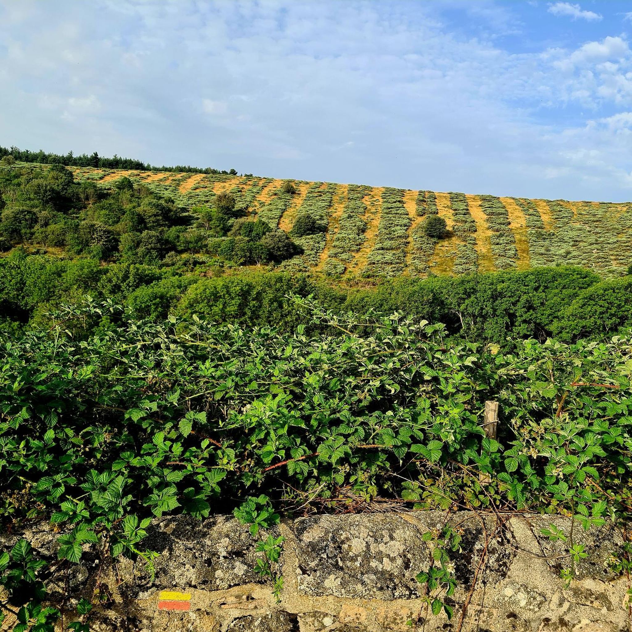
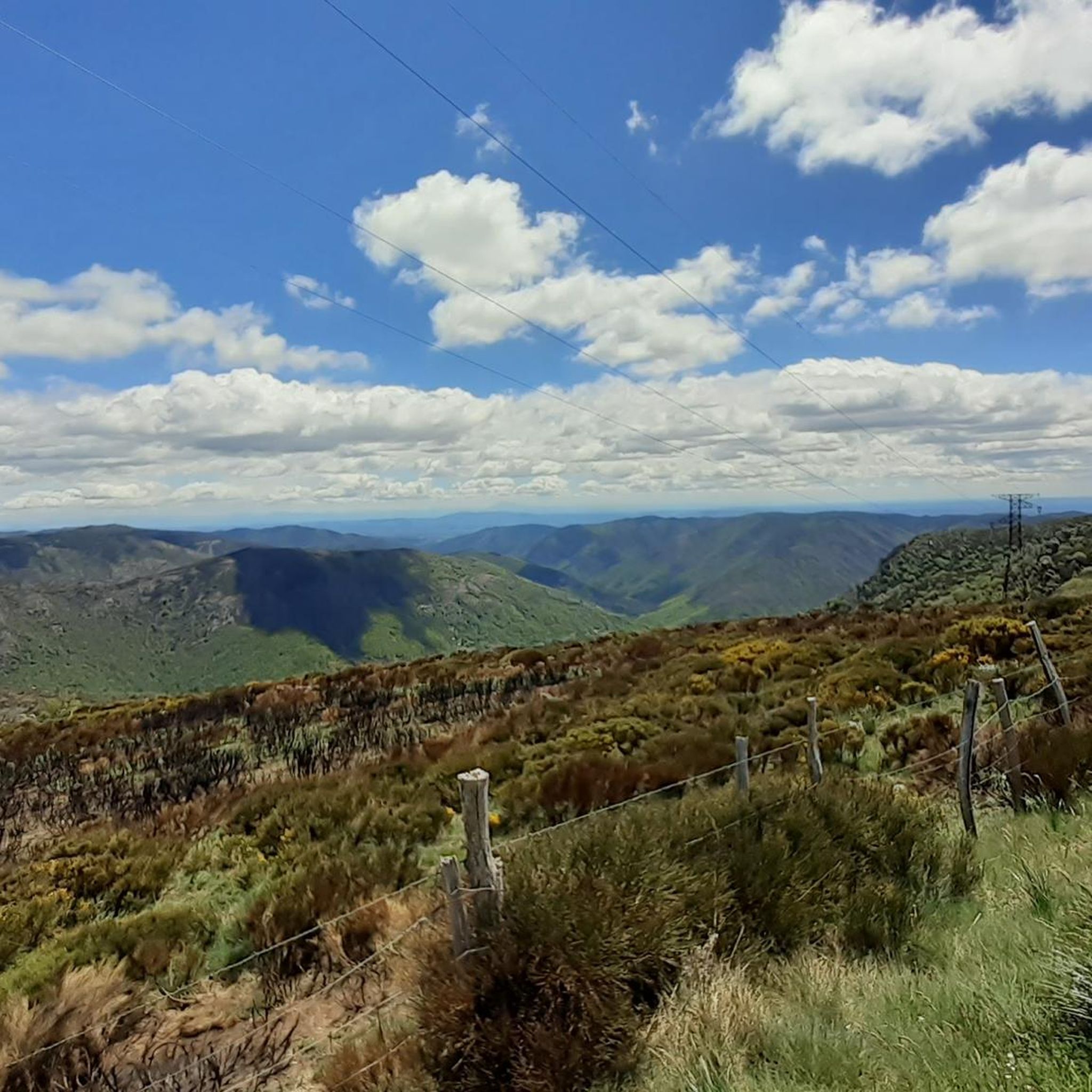
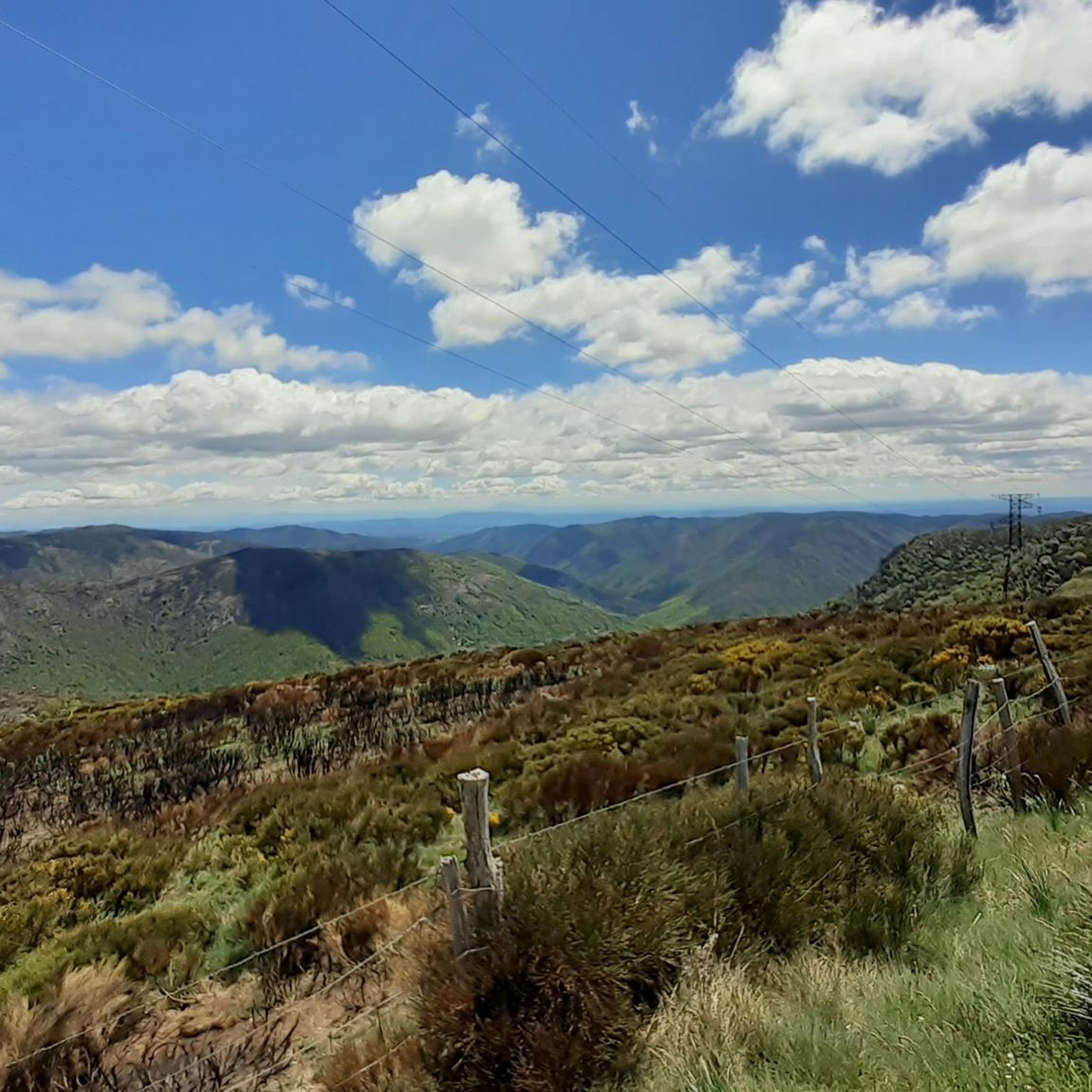
One of the prettiest views in the region. I was lucky enough to have a magnificent blue sky. Pure happiness
0
0

Etymology: comes from Mas d’Adam, the name of the old estate that was located on the site of the current village, which was ceded by the lord of Géorant to the bishop of Viviers to allow him to found the abbey of Mazan. It all begins with the foundation of the Cistercian abbey in the heart of the village. This takes place between 1119 and 1122. At the beginning of the 12th century, canons came to settle on the site of Mas d’Adam (a toponym that would evolve into MAZAN), and were joined by monks from the abbey of Bonnevaux. These religious men built a huge abbey, of which only the remains exist today, which experienced a period of apogee that lasted until the Hundred Years' War. It gave birth to four other abbeys which are Bonneval, Sénanque, Sylvanès and le Thoronet as well as establishments for nuns. After this prosperous period, misfortunes followed one another at the abbey of Mazan: it was plundered by the great companies of the Hundred Years' War, then attacked by the Huguenots in the modern period. Before this last looting, the monks, according to legend, would have melted a golden bell with all their treasures, which they would have buried somewhere, facing and opposite the bull's-eye window, within earshot of the rooster's crow. montagnedardeche.com/patrimoine-culturel/village-de-mazan-labbaye-2387
0
0
Etymology: comes from Mas d’Adam, name of the old domain which was located at the site of the current village which was ceded by the lord of Géorant to the bishop of Viviers to allow him to found the abbey of Mazan. It all begins with the foundation of the Cistercian abbey in the heart of the village. This takes place between 1119 and 1122. At the beginning of the 12th century, canons came to settle on the site of Mas d’Adam (toponym that would evolve towards MAZAN), and were joined by monks from the abbey of Bonnevaux. These religious men built an immense abbey, of which only the remains are left today, which experienced a period of apogee that lasted until the Hundred Years' War. It gave birth to four other abbeys which are Bonneval, Sénanque, Sylvanès and le Thoronet as well as establishments of nuns. After this prosperous period, misfortunes followed one another at the abbey of Mazan: it was plundered by the great companies of the Hundred Years' War, then attacked by the Huguenots in the modern period. Before this last pillage, the monks, according to legend, would have melted a golden bell with all their treasures, which they would have buried somewhere, opposite and in front of the bull's eye, within earshot of the cock's crow. https://www.montagnedardeche.com/patrimoine-culturel/village-de-mazan-labbaye-2387/
0
0

Great starting point for hikes: Pic Cassini, Pont du Tarn… The cottages are very pleasant.
0
0


The acoustics are incredibly good!
1
0

Picturesque village, directly on the GR7 hiking trail
5
0
Frequently Asked Questions
What kind of terrain can I expect on gravel bike trails around Montselgues?
Gravel biking around Montselgues offers a diverse mix of terrain. You'll encounter granite and sandstone plateaus, deep river valleys, and wooded mountains. The trails often feature unpaved backroads, forest paths, country roads, and wide dirt tracks, characteristic of the Ardèche mountains. Expect varied surfaces, including sections with rocky or bumpy ground, providing an authentic gravel biking experience.
Are there any challenging gravel bike routes for experienced riders?
Yes, Montselgues is known for its challenging gravel routes. All six routes listed in this guide are considered difficult. For a significant challenge, consider the Col de la Croix de Bauzon – Col du Pendu (1435 m) loop from Col de la Croix de Bauzon, which covers over 100 kilometers with substantial elevation changes. Another demanding option is the Auradoux Pond – Le Moure de la Gardille loop from La Bastide - Saint-Laurent-les-Bains, spanning over 80 kilometers with considerable climbing.
What natural landmarks or points of interest can I see along the gravel trails?
The region is rich in natural beauty. You can explore unique geological formations like the "Chaos de Montselgues" and volcanic structures. Some trails lead through impressive natural sites such as the La Drobie Valley or offer views from the Col de Meyrand Viewpoint. The Rock Pools of the Gorges de Chassezac are also a notable natural attraction in the vicinity.
Are there any historical sites or cultural attractions accessible by gravel bike?
Yes, the Montselgues area offers historical and cultural points of interest. You can find megalithic structures like dolmens, including the 5 dolmens of Les Oeillantes, Devèze Dolmen, and Champagnac Dolmen. While specific routes in this guide don't directly pass them, the region's extensive trail network often connects to such sites, like the Notre-Dame de Thines Church and the Thines Resistance Monument mentioned in regional research.
Are there any loop routes available for gravel biking?
Yes, several loop routes are available. For instance, the Lake Villefort – Goulet Ridge loop from Villefort is a popular option, offering a substantial 64.7 km ride. Another loop is the La Bastide-Puylaurent – Stroll on the Stevenson cheyde loop from Chabaleyret, which is a 34.1 km circular route.
What is the best time of year to go gravel biking in Montselgues?
The Montselgues region, nestled in the Ardèche mountains, is generally best for gravel biking during spring and autumn. These seasons offer pleasant temperatures and vibrant natural scenery, with less extreme heat than summer and fewer challenges from winter weather. Always check local weather conditions before heading out.
Are there any routes that follow river valleys?
Yes, the region is characterized by its deep river valleys. The Stone bridge in Pied-de-Borne – Col de Teste Rouge loop from Sainte-Marguerite-Lafigère offers a route that traverses areas near the Borne River. The Chassezac River and its gorges are also prominent features in the landscape, providing scenic riding opportunities.
What do other gravel bikers enjoy most about gravel biking in Montselgues?
The area is highly rated by the komoot community, with an average score of 5.0 stars. Riders often praise the diverse landscapes, from high plateaus to deep river valleys, and the extensive network of trails that provide a true gravel biking experience through forests, rocky outcrops, and charming villages. The challenging nature of the routes and the stunning vistas are frequently highlighted.
Are there any routes suitable for families or beginners?
The gravel bike routes listed in this guide around Montselgues are generally considered difficult, featuring significant elevation changes and varied terrain. While the region offers a wide network of trails, those specifically highlighted here are more suited for experienced gravel bikers. For family-friendly options, it's advisable to look for shorter, less technical paths in the broader Monts d'Ardèche Regional Natural Park, which may not be classified as gravel-specific.
Can I find places to eat or drink along the gravel routes?
While specific cafes or pubs directly on the routes are not detailed in the guide, the Montselgues region features charming villages. It's recommended to plan your rides to pass through or start from villages where you can find local amenities. Always carry sufficient water and snacks, especially on longer, more remote routes, as services can be sparse in the more mountainous and forested areas.
Is public transport an option for accessing gravel bike trails in Montselgues?
Montselgues is a village nestled in the Ardèche mountains, and public transport options directly to trailheads might be limited. While some regional bus services may connect larger towns, direct access to specific gravel bike routes often requires personal transport. It's best to check local transport schedules and consider starting points that are easily accessible by car, with parking available.
Are there any routes that offer views of unique geological formations?
Yes, the region is known for its unique geology. The intro mentions the "chaos granitique" and basalt organs. While not explicitly named in a route, the diverse terrain of routes like the Lake Villefort – Goulet Ridge loop from Villefort will expose you to the varied geological features of the Monts d'Ardèche, including rocky outcrops and dramatic landscapes.
Most popular routes around Montselgues
Most popular attractions around Montselgues

Get inspired with the komoot mobile app


Explore more
Browse the best Gravel rides in other regions.
