The best gravel rides around Chomérac
13
riders
5
rides
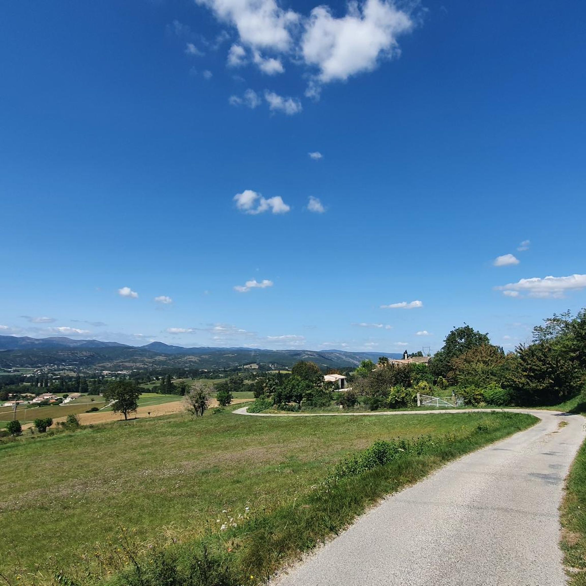
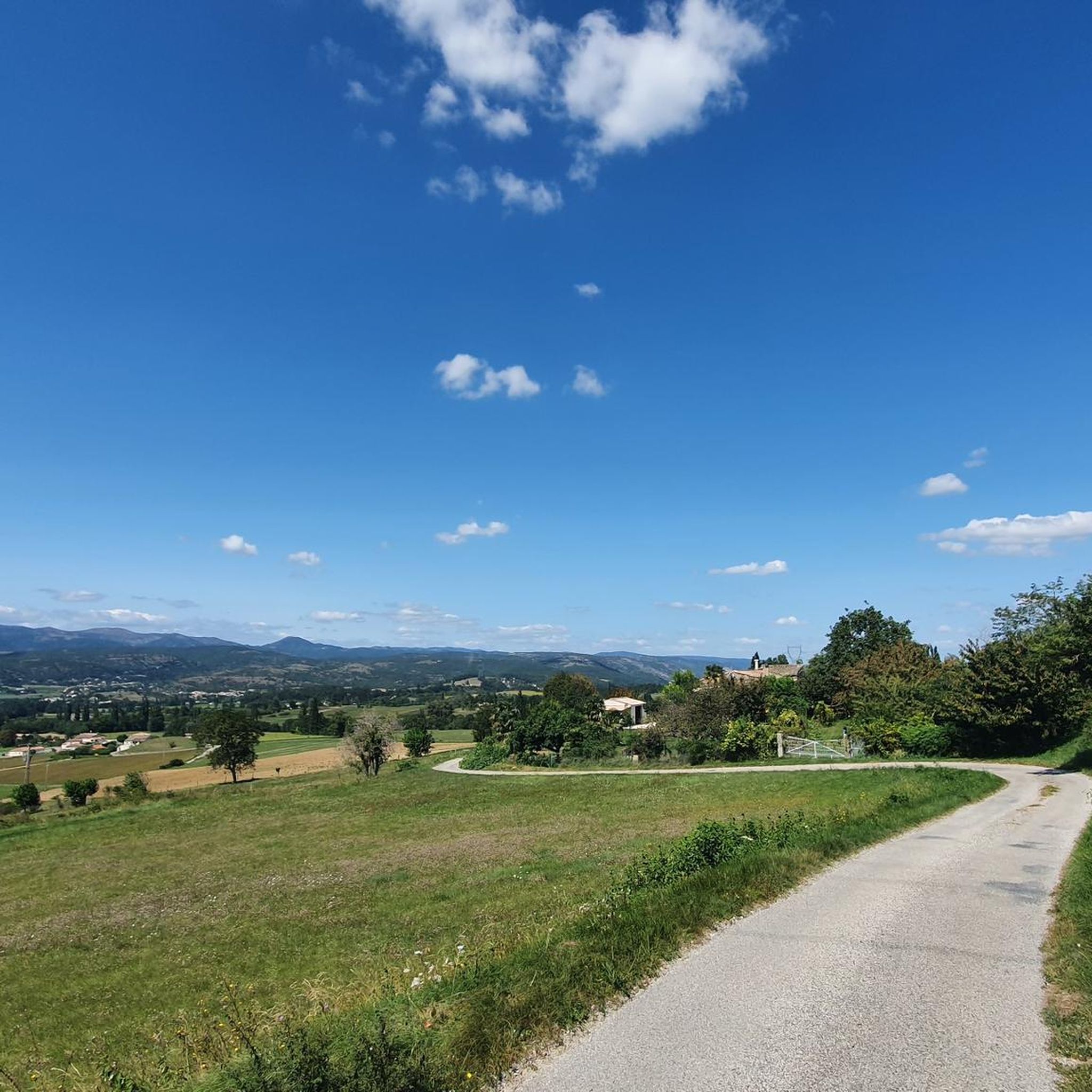
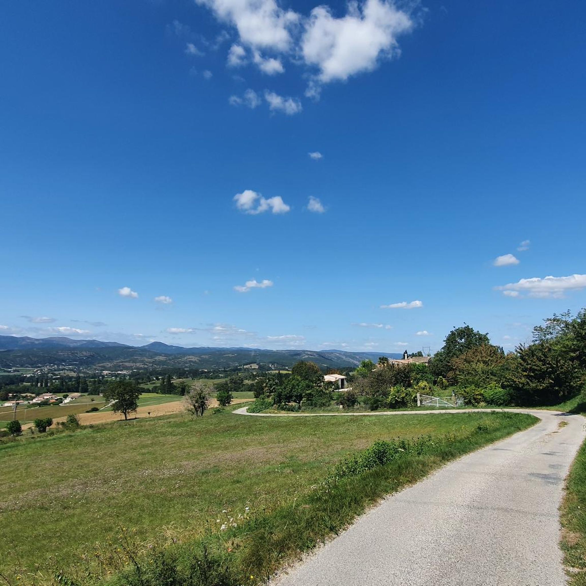
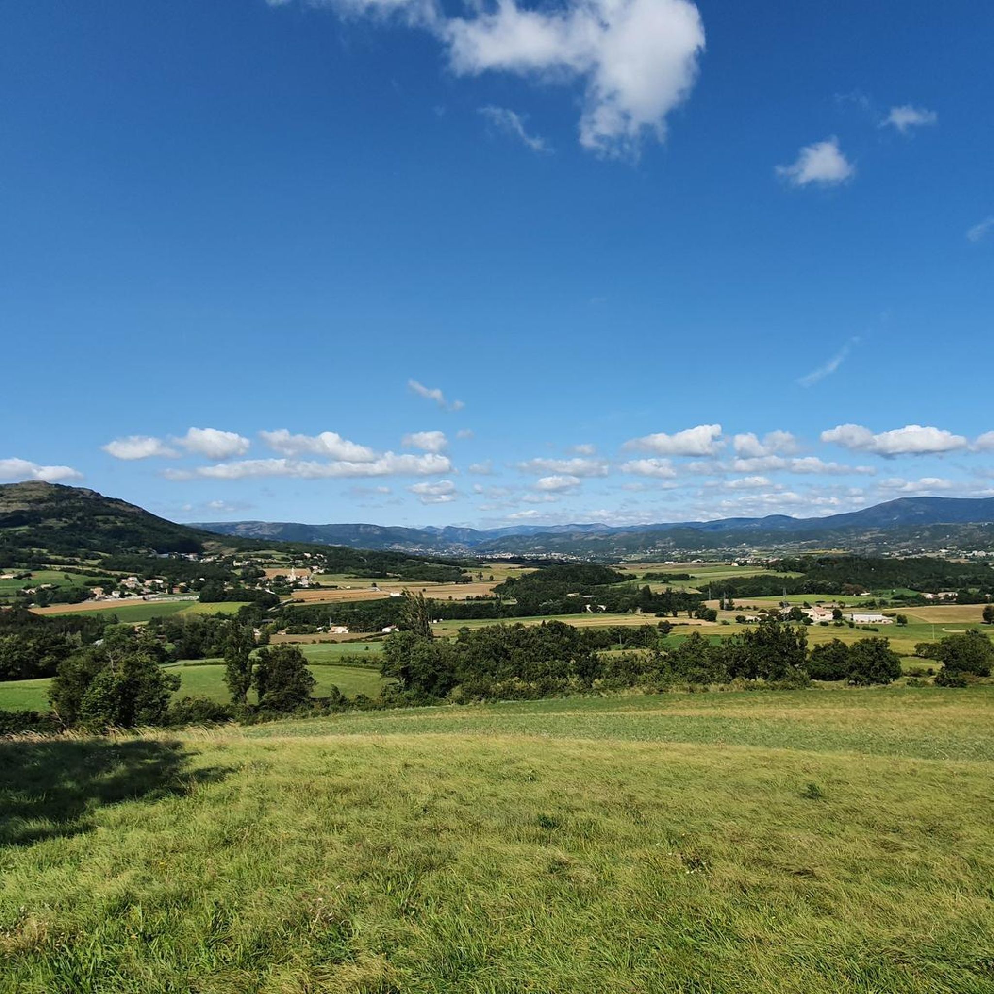
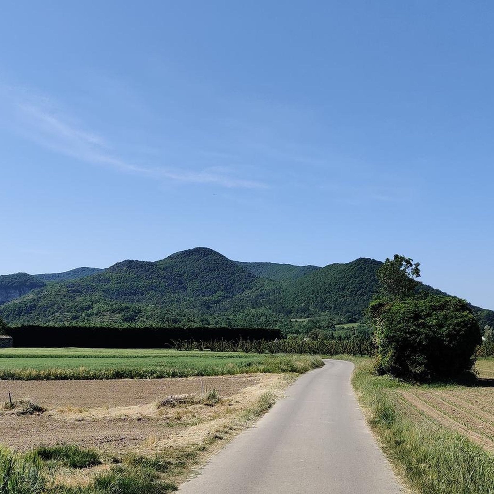
Gravel biking around Chomérac offers diverse landscapes characterized by hilly terrain, river valleys, and Mediterranean vegetation within France's Ardèche department. The region spans from 135 to 620 meters above sea level, encompassing the Payre valley and bordered by the volcanic Coiron massif and the limestone plateau of the Grads. This geological diversity provides varied terrain for gravel routes. Nearly half the land is dedicated to agriculture, and over a quarter is covered by forests.
Best gravel bike trails around Chomérac
…Last updated: August 27, 2026
3
riders
17.3km
01:39
540m
540m
Hard gravel ride. Very good fitness required. Mostly paved surfaces. Suitable for all skill levels.
10
riders
26.2km
01:27
280m
280m
Moderate gravel ride. Good fitness required. Mostly paved surfaces. Suitable for all skill levels.

Sign up for free
12
riders
Easy gravel ride. Great for any fitness level. Mostly paved surfaces. Suitable for all skill levels.
5.0
(1)
2
riders
40.5km
03:17
1,030m
1,030m
Hard gravel ride. Very good fitness required. Mostly paved surfaces. Suitable for all skill levels.
5.0
(1)
6
riders
Moderate gravel ride. Good fitness required. Mostly paved surfaces. Suitable for all skill levels.
Our route recommendations are based on thousands of hikes, rides, and runs completed by other people on komoot.
Start today with a free account
Your next adventure awaits.
Login or Signup
Tips from the Community

superb landscape. but surfacing sometimes leaving something to be desired (gravel/sand making the climb delicate and slow) very good signage, even excessive. the savings made on this would certainly allow for maintenance.
0
0

Right next to the sign down to swim in the Eurieux
0
0

Great route. We went from Saint-Agrève to Valence. A magnificent descent along the gorges. I recommend it 200%.
0
0

beautiful asphalted railway cycle path and beautiful viaduct
1
0

Just below the Dolce Via lies a small restaurant belonging to the local climbing park. It's a great place for a refreshing break.
0
0

Formerly serving as a railway crossing over the Eyrieux River, the Pimpie viaduct has now been converted into a greenway. It offers beautiful views of the river.
0
0

Frequently Asked Questions
What kind of terrain can I expect on gravel bike trails around Chomérac?
Gravel biking around Chomérac features diverse landscapes, including hilly terrain, river valleys, and Mediterranean vegetation. Routes often involve dynamic ascents and descents across elevations ranging from 110 to 394 meters. You'll find varied topography through areas like the Payre and Ouvèze Valleys, and unique geological formations in the 'Le Gras' region, offering a mix of unpaved tracks.
Are there any easy or family-friendly gravel bike routes in the Chomérac area?
Yes, for a more accessible experience, the Voie verte La Dolce Via – The Roman Bridge loop from Saint-Vincent-de-Durfort is a moderate 25.8 km trail that incorporates sections of the Voie Verte La Dolce Via. This greenway, built on an old railway line, has very little slope, making it suitable for families, though some sections may be less smooth. The Payre Greenway is another entirely asphalted option, utilizing an old railway line with numerous interesting engineering structures.
What are the best times of year for gravel biking in Chomérac?
The region is particularly beautiful in early spring for nature's rebirth or in summer mornings for shade along routes like the Voie Verte La Dolce Via. The diverse landscapes, including forests and river valleys, offer pleasant riding conditions across many seasons, though summer afternoons might be warm.
Are there any circular gravel bike routes available?
Yes, many of the gravel routes around Chomérac are designed as loops. For example, the La Dolce Via – Dolce Via Rail Trail loop from Les Ollières-sur-Eyrieux is a challenging 50.2 km loop exploring the Dolce Via Rail Trail. Another option is the La Voulte-sur-Rhône – Voie verte La Dolce Via loop from Privas, a 67.7 km trail through the Ardèche countryside.
What interesting landmarks or attractions can I see along the gravel bike trails?
Many routes pass by or near notable attractions. You can explore sections of the Voie verte La Dolce Via, which follows an old railway line. The Payre Greenway features impressive engineering structures like tunnels and viaducts. The region also boasts picturesque medieval villages like Saint Vincent de Barrès and Rochemaure, and several châteaux, offering historical points of interest.
How long do the gravel bike trails typically take to complete?
The duration varies significantly depending on the route and your pace. For instance, the moderate Voie verte La Dolce Via – The Roman Bridge loop from Saint-Vincent-de-Durfort typically takes around 1 hour 49 minutes. More challenging routes like the Voie verte La Dolce Via – La Voulte-sur-Rhône loop from Semensac, which is 47.9 km, can take about 3 hours 21 minutes.
What do other gravel bikers enjoy most about Chomérac's trails?
The gravel biking routes around Chomérac are highly rated by the komoot community, with an average score of 4.95 stars from over 25 reviews. Riders often praise the diverse landscapes, the mix of hilly terrain and river valleys, and the well-maintained greenways like the Dolce Via, which offer unique cycling experiences.
Are there any challenging gravel routes for experienced riders?
Yes, Chomérac offers several challenging routes. For example, the La Voulte-sur-Rhône – Voie verte La Dolce Via loop from Les Ollières-sur-Eyrieux is a difficult 50.5 km trail with significant elevation gain, typically taking around 3 hours 41 minutes. The region's hilly terrain and varied elevations provide plenty of opportunities for experienced riders seeking demanding ascents and descents.
Can I find places to eat or stay near the gravel biking routes?
Chomérac and nearby towns like Privas (just 7 km north-east) offer various amenities, including cafés, restaurants, and accommodations. The region is known for its local cuisine, such as candied chestnuts from Privas. Many routes pass through or near these settlements, providing convenient stops for refreshments and rest.
What are the geological features that make Chomérac unique for gravel biking?
Chomérac's territory spans from 135 to 620 meters above sea level, bordered by the volcanic Coiron massif to the north and the limestone plateau of the Grads to the south-east. This geological diversity, including the Payre valley, creates a varied terrain with unique formations and a mix of unpaved tracks ideal for gravel biking.
Are there any routes that follow old railway lines?
Absolutely. The Voie Verte La Dolce Via is a magnificent greenway built on an old railway line, winding through nature along the Eyrieux river. Similarly, the Payre Greenway also utilizes an old railway line, connecting Le Pouzin to Privas, and is known for its numerous interesting engineering structures.
Most popular attractions around Chomérac

Get inspired with the komoot mobile app


Explore more
Browse the best Gravel rides in other regions.
