The best walks and hikes around Bau Pressiu
3.9
(21)
68
hikers
15
hikes
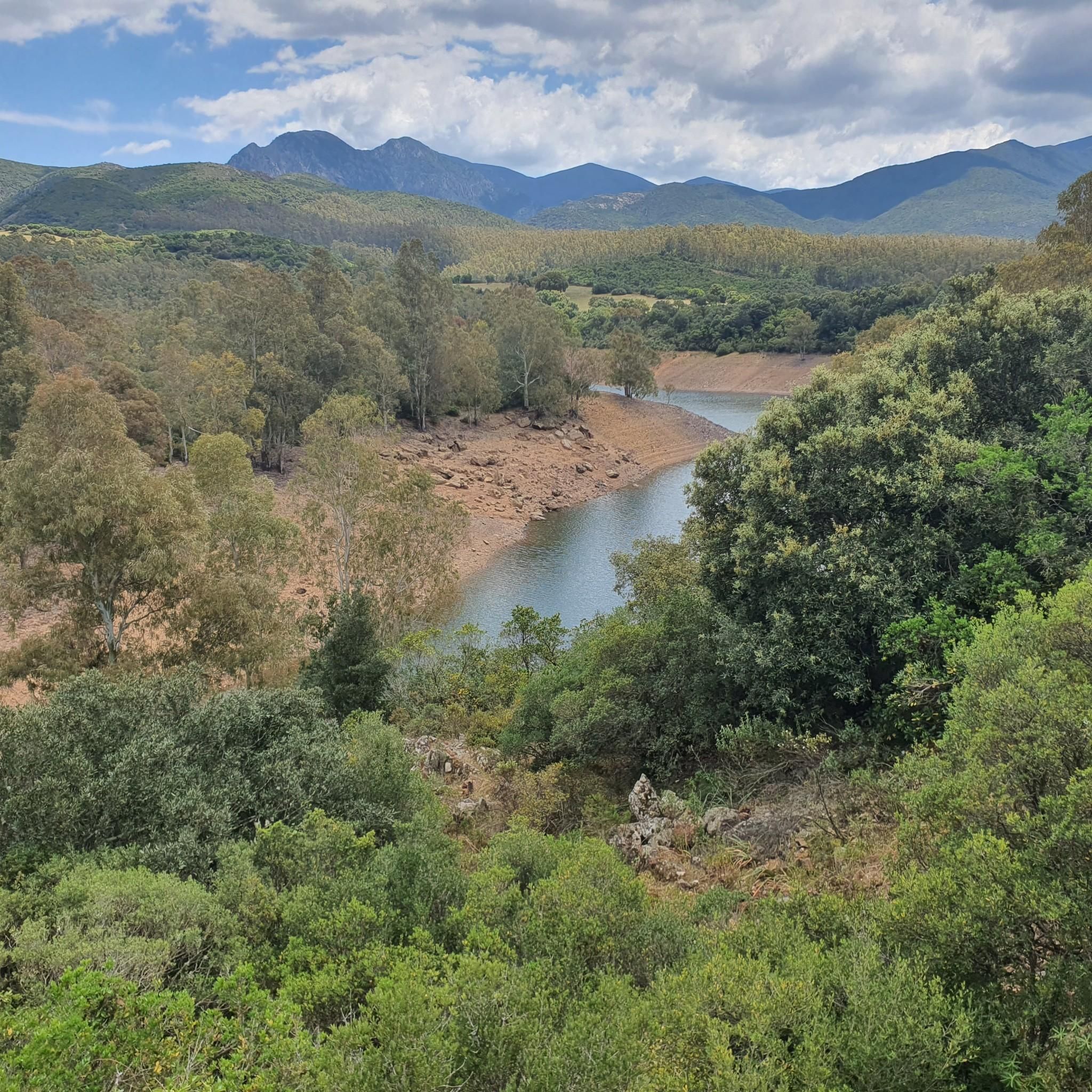
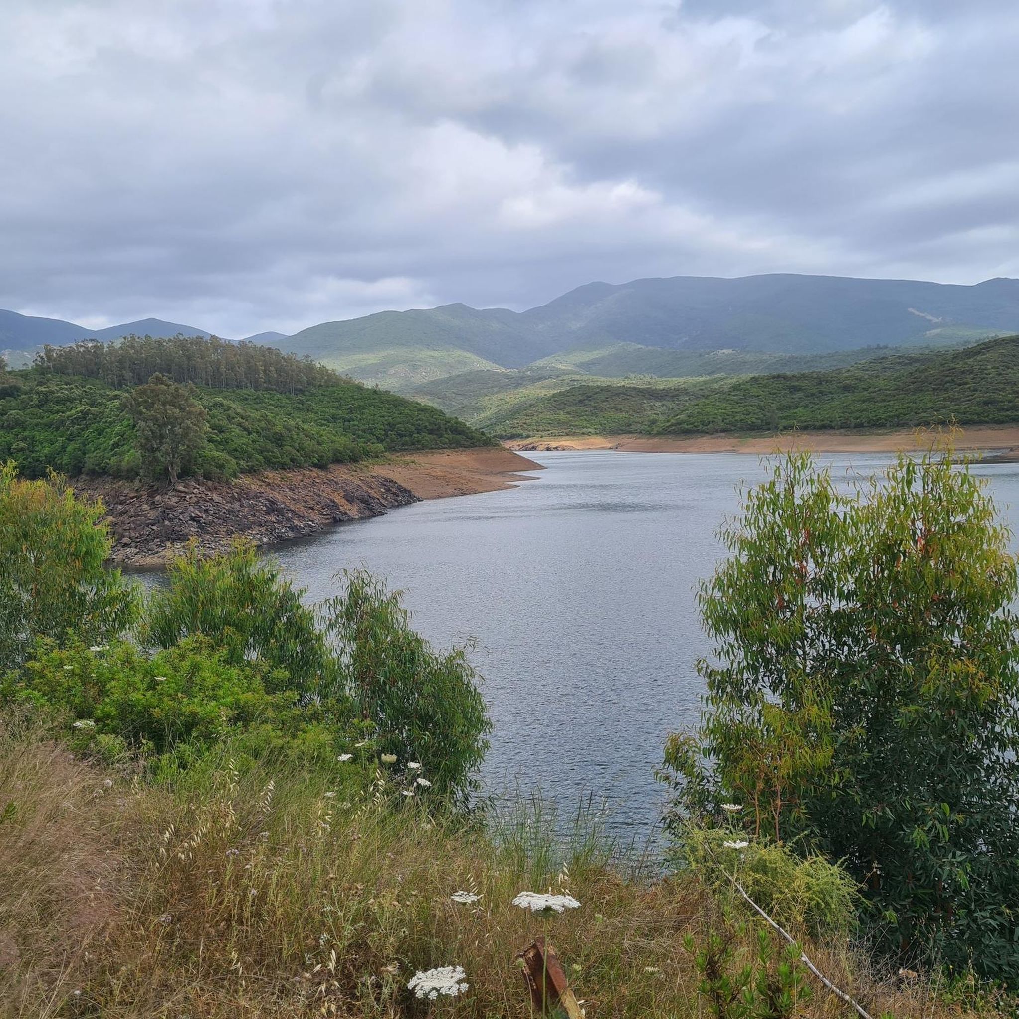
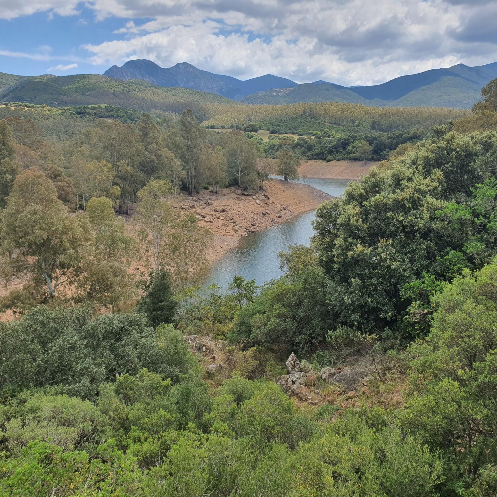
Hiking around Bau Pressiu centers on the artificial lake, a vital water supply for the Sulcis-Iglesiente region in southwestern Sardinia. The area features panoramic views and lush Mediterranean vegetation along its shores. This landscape transitions into a broader region characterized by diverse terrain, including coastal paths, mountainous areas, and historical mining landscapes. The trails offer a blend of natural beauty and historical intrigue.
Best hiking trails around Bau Pressiu
- The most popular hiking route is Former Sulcis Railway – Santa…
Last updated: June 26, 2026
4.5
(2)
5
hikers
Moderate hike. Good fitness required. Easily-accessible paths. Suitable for all skill levels.
4.5
(4)
9
hikers
8.96km
02:32
200m
200m
Moderate hike. Good fitness required. Easily-accessible paths. Suitable for all skill levels.

Sign up for free
3.0
(7)
14
hikers
13.6km
04:40
710m
710m
Moderate hike. Good fitness required. Easily-accessible paths. Suitable for all skill levels.
2.4
(5)
9
hikers
8.15km
02:53
450m
450m
Moderate hike. Good fitness required. Easily-accessible paths. Suitable for all skill levels.
4
hikers
27.5km
08:08
810m
810m
Hard hike. Very good fitness required. Easily-accessible paths. Suitable for all skill levels.
Get access to more routes and recommendations from other explorers.
Sign up for free
Already have an account?
Our route recommendations are based on thousands of hikes, rides, and runs completed by other people on komoot.
Start today with a free account
Your next adventure awaits.
Login or Signup
Popular around Bau Pressiu
Tips from the Community

Known as the Sulcis Railway, this narrow-gauge line was built in the 1920s by the Ferrovie Meridionali Sarde (Sardinian Southern Railways) to connect the mining areas of Sulcis with coastal towns and ports of embarkation. The route passed through isolated landscapes and wooded valleys, serving villages and mines that are now partly abandoned. Today, bridges, tunnels, and disused stations remain, testifying to the era when the railway was the main means of communication for miners and goods in the southwest of the island.
1
0
The Rosas Mine, active from 1849 to 1980 for the extraction of silver-bearing galena, lead, and zinc, is now a multi-purpose museum that chronicles the mining history of the Sulcis region. A guided tour allows access to the underground tunnels and a close-up look at the restored structures, while nearby hiking trails allow visitors to explore the natural environment and traces of the mining activity. For updated hours, costs, and reservations: https://museorosasnarcao.it/.
1
0
Here is the entrance to the Santa Barbara tunnel, part of a complex underground system consisting of seven levels connected by vertical excavations called fornelli, once accessed by wooden ladders. Excavation work was carried out using mines and, later, mechanical compressed-air drilling, introduced between the late 19th and early 20th centuries.
0
0

Beautiful forest trails. The mining center has a picnic area with a water tap.
0
0

Interesting facility, lost places...but the opening times on the internet are wrong. Apparently mostly closed. The outdoor facilities can still be visited though. There are lovely shady picnic areas, and the water taps work!
0
0

really beautiful passage under the arches of an overpass of the Old Sulcis railway... from here you follow the railway line in the most characteristic stretch.
0
0
the viaduct over the Rio Fundus. The most imposing viaduct of the whole old Sulcis railway, abandoned more than 70 years ago. Five imposing arches and a height, at the maximum point, of 130 m from the ground.
0
0
Near Terrubia, the magnificent viaducts of the disused Sulcis railway can also be covered carefully by bike.
1
0
Frequently Asked Questions
How many hiking trails are available around Bau Pressiu?
There are over 10 hiking trails around Bau Pressiu, offering a variety of experiences. These include 1 easy route, 8 moderate routes, and 3 difficult routes, catering to different fitness levels.
What is the best time of year to hike in the Bau Pressiu region?
The Sulcis-Iglesiente region, where Bau Pressiu is located, is ideal for hiking during spring and autumn. The weather is milder, and the Mediterranean vegetation is at its most vibrant. Summer can be very hot, especially for longer or more exposed trails, while winter offers cooler temperatures suitable for hiking, though some coastal paths might be windy.
Are there any easy or family-friendly hiking options near Bau Pressiu?
While the majority of routes are moderate, the region offers opportunities for pleasant walks, especially around the serene Lago di Bau Pressiu itself, which features lush Mediterranean vegetation. For a slightly more structured, moderate option that families might enjoy, consider the Former Sulcis Railway – Villaggio Minerario Rosas loop from Terrubia, which is 5.6 miles (9.0 km) and explores a historical mining village.
What do other hikers enjoy most about the trails in Bau Pressiu?
The trails around Bau Pressiu are highly rated by the komoot community, with an average score of 4.2 stars from over 20 reviews. Hikers frequently praise the unique blend of natural beauty, including panoramic views of the artificial lake and diverse Mediterranean scrub, with the intriguing historical mining landscapes that characterize the region.
Are there any circular hiking routes in the Bau Pressiu area?
Yes, several routes around Bau Pressiu are circular. For example, the Former Sulcis Railway – Santa Barbara Mine Tunnel loop from Diga di Bau Pressiu is a moderate 10.1-mile (16.3 km) loop. Another option is the Stone Water Fountain – Monte Nieddu loop from Monte Tamara, an 8.5-mile (13.6 km) moderate trail with significant elevation gain.
Can I find challenging multi-day hikes in the Sulcis-Iglesiente region?
While the immediate Bau Pressiu area focuses on day hikes, the broader Sulcis-Iglesiente region is renowned for more challenging and multi-day trekking experiences. The famous Cammino Minerario di Santa Barbara is a prime example, traversing the heart of the region and combining natural beauty with historical mining insights over several days. For a difficult day hike, consider the Rio Camboni – Barracca Sassa loop from conca Arruabis, which is 27.5 km long with over 800m of elevation gain.
Are there any trails that offer coastal views or lead to the sea?
While Bau Pressiu itself is inland around the lake, the wider Sulcis-Iglesiente region is famous for its stunning coastal paths. Routes from Nebida to Masua, for instance, offer breathtaking views of cliffs, sea stacks, and crystal-clear waters, often passing by historical sites like Porto Flavia. The trek from Cala Domestica to Canal Grande of Nebida is also highly scenic.
What kind of historical sites or landmarks can be seen on the trails?
The region is rich in historical mining landscapes. Many trails, like the Former Sulcis Railway – Santa Barbara Mine Tunnel loop from Diga di Bau Pressiu, explore old railway lines and mining tunnels. You can also find impressive industrial architectural sites, such as the Villaggio Minerario Rosas, integrated into the natural landscape, offering a glimpse into the area's industrial past.
Are there good viewpoints along the hiking routes?
Yes, the varied terrain around Bau Pressiu and the Sulcis-Iglesiente region offers numerous panoramic viewpoints. The artificial lake itself provides serene vistas, and many trails ascend hills and mountains, such as Monte Nieddu, offering spectacular views of both the sea and the interior landscape, characterized by Mediterranean scrub and forests.
Is it possible to hike in Bau Pressiu during winter?
Winter hiking is generally possible in the Bau Pressiu region. The climate in southwestern Sardinia is mild, and snow is rare at lower elevations. The cooler temperatures can be pleasant for hiking, but it's always advisable to check local weather forecasts, especially for higher elevations or coastal areas where winds might be stronger.
What are the parking options for trailheads around Bau Pressiu?
Parking availability varies by trailhead. For routes starting near Diga di Bau Pressiu or other specific points like Terrubia or Monte Tamara, you can typically find designated parking areas or suitable roadside spots. It's recommended to check the specific route details on komoot for more precise parking information for your chosen hike.
Are there any cafes or pubs near the hiking trails in Bau Pressiu?
While the immediate area around Lago di Bau Pressiu is more natural and less developed, you will find cafes and pubs in nearby towns and villages within the Sulcis-Iglesiente region. It's a good idea to plan your hike to start or end near one of these settlements if you wish to enjoy refreshments after your walk.

Get inspired with the komoot mobile app


Explore more
Browse the best Hikes in other regions.
