The 5 Most Amazing Peaks around Düngenheim
Best mountain peaks around Düngenheim are characterized by elevated terrain and scenic viewpoints within a hilly, volcanic landscape. Situated in Germany's Cochem-Zell region, Düngenheim offers numerous hiking trails that traverse this unique Eifel environment. The area provides diverse hiking experiences, including routes through forests and open countryside with expansive views, making it a destination for exploring natural features.
Best mountain peaks around Düngenheim
- The most popular mountain peaks is Hochsimmer Tower, a man-made monument and watchtower that offers views…
Last updated: June 24, 2026
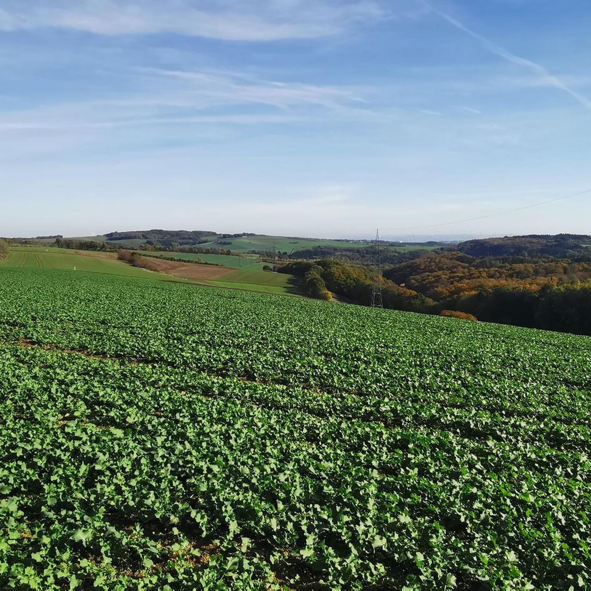
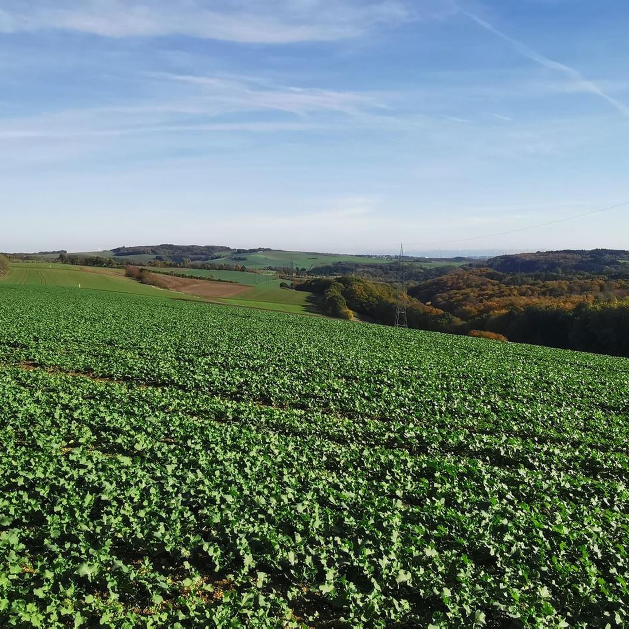
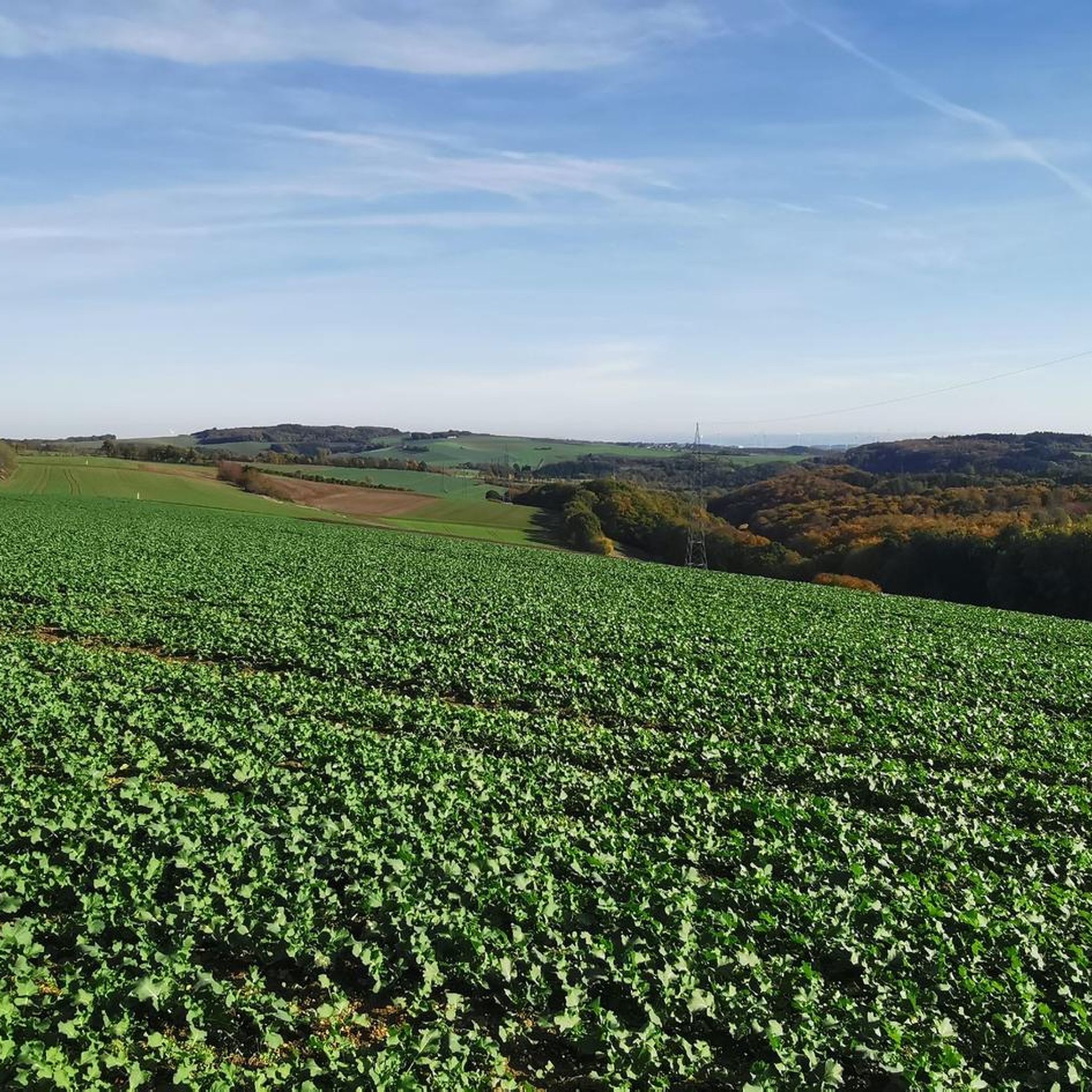
Panoramic view from Ettringer Bellerberg
Highlight • Viewpoint
Translated by Google •
Tip by

Hochsimmer Tower
Highlight • Monument
Translated by Google •
Tip by

Sign up now to discover places like this
Get recommendations on the best single tracks, peaks, & plenty of other exciting outdoor places.
Sign up for free
Sammetzkopf Summit and Panoramic View of Maifeld
Highlight • Summit
Translated by Google •
Tip by

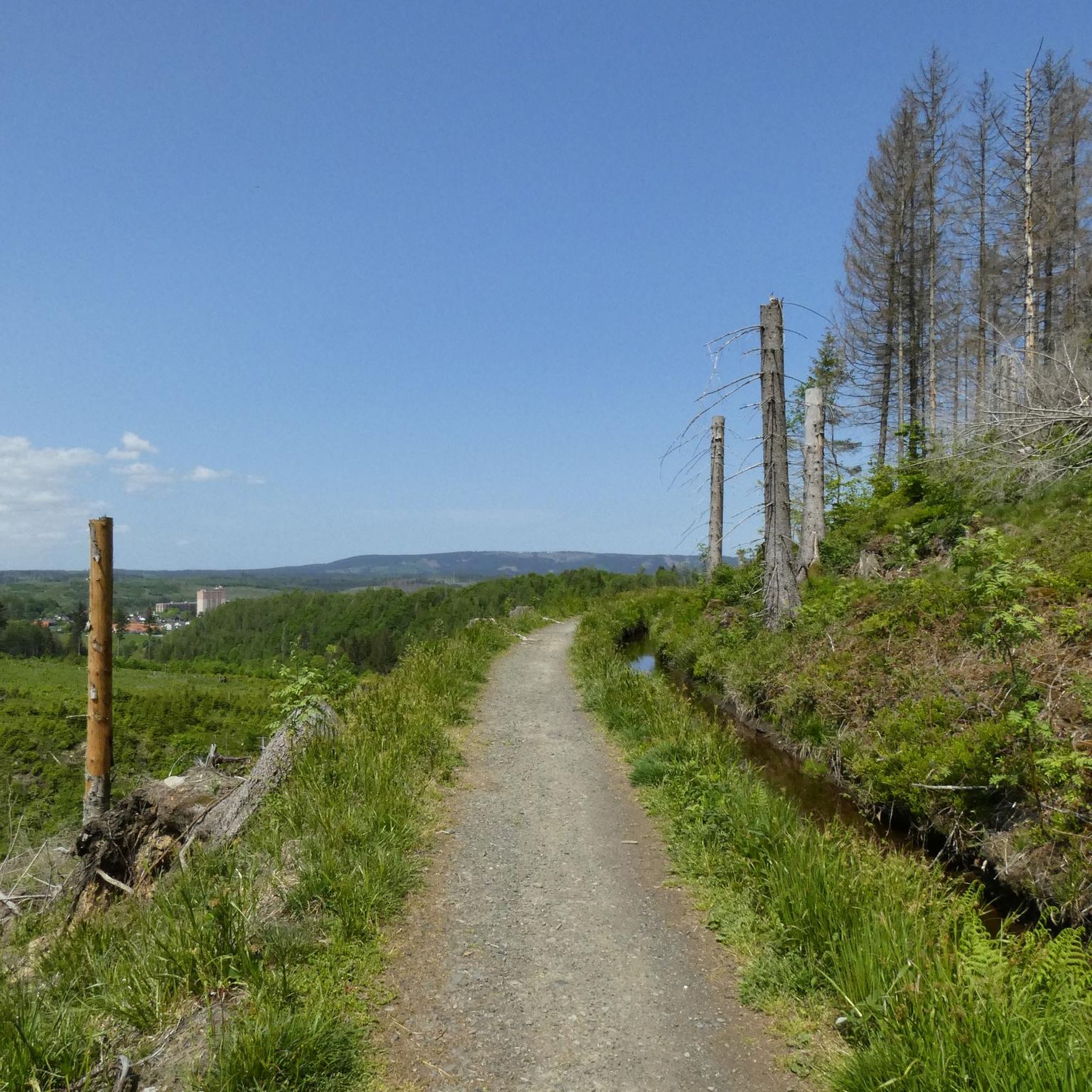
Juckels-Berg Summit
Highlight • Summit
Translated by Google •
Tip by

Start today with a free account
Your next adventure awaits.
Login or Signup
Tips from the Community

It goes up and down, but downhill is very dangerous at the moment.
0
0

Once you've caught your breath, you'll find a wonderfully peaceful spot here.
6
0

Juckels-Berg is a peak located in Monreal, Rhineland-Palatinate, and has an elevation of 460 meters. The Juckels-Berg is a 3.1-kilometer climb, rising from 299 meters at the beginning to 460 meters at the top, with a total elevation gain of 162 meters. Very beautiful hiking trails and stunning nature.
0
0

Those exploring the dream trail "Pyrmonter Felsensteig" will reach the highest point of the route on the Sammetzkopf. There, an illuminated summit cross stands prominently, even in the dark. From the Sammetzkopf, an impressive view opens up: It stretches as far as Münstermaifeld with its magnificent collegiate church and further to the volcanoes of the Eastern Eifel. The wide panoramic view over the plateau forms a fascinating yet harmonious contrast to the narrow paths in the Elz Valley.
40
0

The Hochsimmer is a volcanic cone, approx. 588 m high: https://de.m.wikipedia.org/wiki/Hochsimmer The listed tower on top is 18 m high, 79 steps lead up to the viewing platform: https://de.m.wikipedia.org/wiki/Hochsimmerturm
5
0


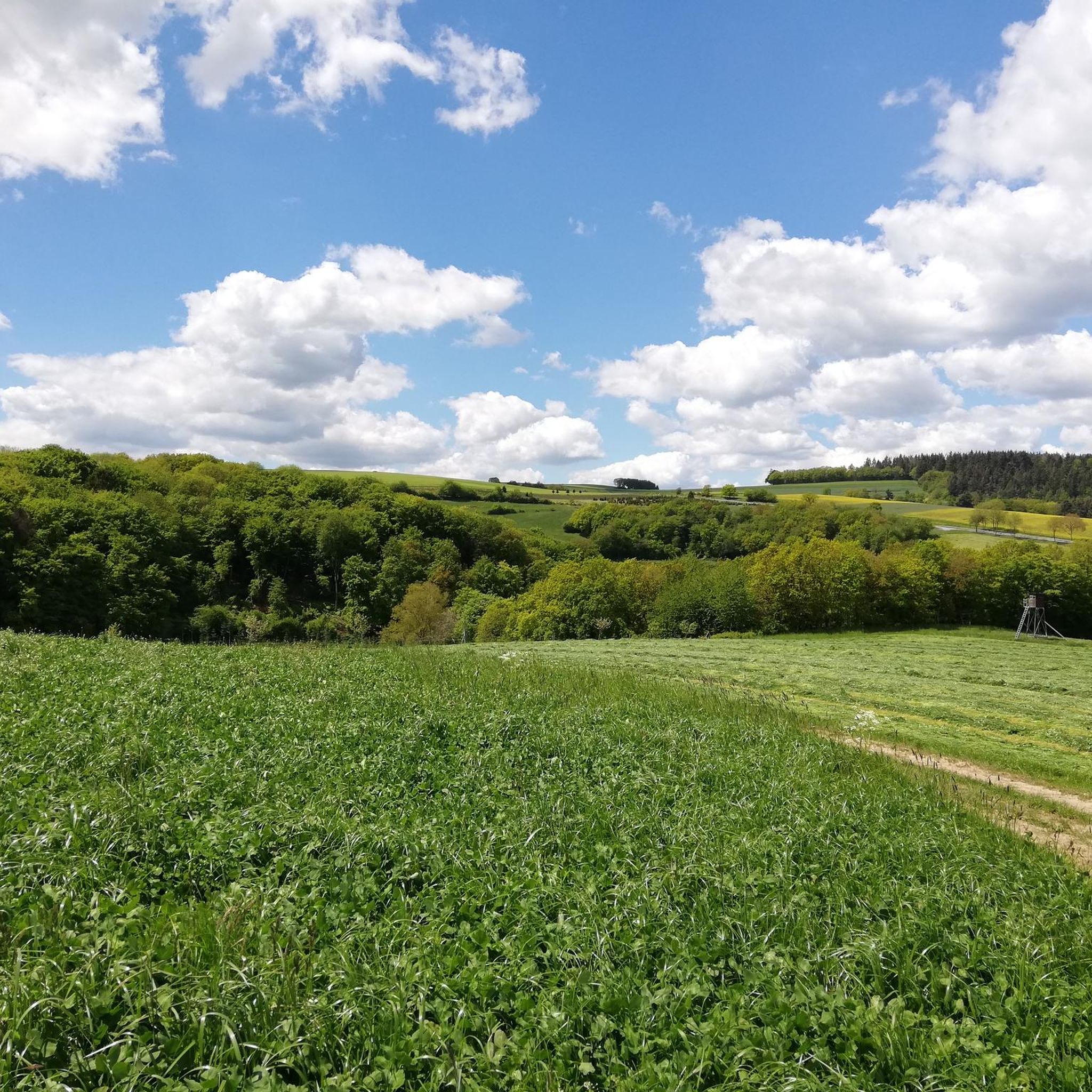
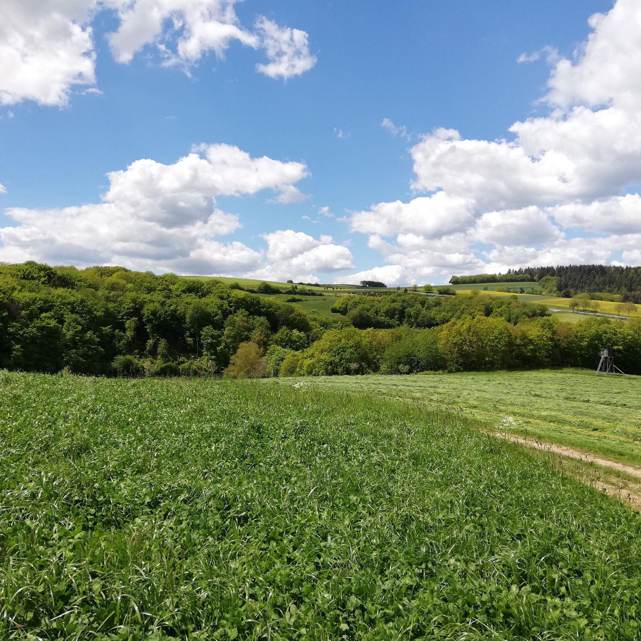
🎨Enjoy a great panoramic view in wonderful peace and quiet. A changing picture in every season 🍃 🍂 🌿. Great photo location on the dream path Vulkanpfad 🌋🎨📷
8
0

worth it just for the view. You can also take a break here, there are several tables and benches. Also nice paths around it
0
0
Frequently Asked Questions
What kind of 'mountain peaks' can I expect to find around Düngenheim?
Around Düngenheim, the 'mountain peaks' refer to elevated terrain and scenic viewpoints within a hilly, volcanic landscape rather than traditional towering mountains. These areas offer diverse hiking experiences through forests and open countryside with expansive views, characteristic of the Eifel region.
Which are the most popular viewpoints or elevated spots in the Düngenheim area?
Among the most popular spots are the Hochsimmer Tower, offering extensive views of the Pellenzer country, and the Panoramic view from Ettringer Bellerberg, which provides a 360-degree vista and insights into the region's volcanic history. Another favorite is the Sammetzkopf Summit and Panoramic View of Maifeld, known for its illuminated summit cross and views stretching to Münstermaifeld.
Are there any family-friendly elevated areas or trails suitable for children around Düngenheim?
Yes, the Sammetzkopf Summit and Panoramic View of Maifeld is categorized as family-friendly. Additionally, the region research mentions that some circular routes, like those around Grube Bausberg and Burberg, are suitable for strollers or dog carts, indicating their accessibility for families.
What natural features can I discover when exploring the elevated areas near Düngenheim?
You can discover a variety of natural features, including volcanic landscapes, forests, and open fields. Highlights like the Panoramic view from Ettringer Bellerberg offer insights into the history of volcanoes and basalt mining. The Juckels-Berg Summit is known for its beautiful hiking trails and stunning nature within a forest setting.
Are there historical sites or monuments on these elevated points?
Yes, the Hochsimmer Tower is a man-made monument and watchtower, offering historical context alongside its views. The Sammetzkopf Summit and Panoramic View of Maifeld features an illuminated summit cross, which is a religious building and a notable landmark.
What outdoor activities can I do near the elevated areas around Düngenheim?
Beyond exploring the 'peaks' themselves, the region offers a variety of outdoor activities. You can find numerous hiking trails, including easy options like those listed in the Easy hikes around Düngenheim guide. There are also Road Cycling Routes around Düngenheim and Running Trails around Düngenheim for different sports.
What do visitors enjoy most about the elevated areas and viewpoints near Düngenheim?
Visitors particularly enjoy the fantastic panoramic views in all directions, often accompanied by a sense of peace and quiet. The diverse scenery, encompassing forests and open countryside, along with the well-maintained hiking trails, are frequently praised. Many appreciate the information boards that explain the region's volcanic history and basalt mining.
Are there specific hiking trails that lead to these elevated viewpoints?
Yes, for instance, the Sammetzkopf Summit and Panoramic View of Maifeld is the highest point on the 'Pyrmonter Felsensteig' dream trail. The Panoramic view from Ettringer Bellerberg is located along the 'Vulkanpfad' (Volcano Trail), which features information boards about the area's geology.
What is the elevation of the highest points around Düngenheim?
The Juckels-Berg Summit, for example, has an elevation of 460 meters. The Hochsimmer, a volcanic cone where the Hochsimmer Tower stands, is approximately 588 meters high.
Can I find trails suitable for dog walking near these elevated areas?
Yes, the region offers dog-friendly hiking opportunities. The general area around Düngenheim, with its diverse hiking trails through forests and open countryside, is well-suited for walks with dogs. Some circular routes, like those around Grube Bausberg and Burberg, are even mentioned as suitable for dog carts, implying their general dog-friendliness.
What is the best time of year to visit the elevated areas around Düngenheim for hiking?
The region offers a changing picture in every season, making it enjoyable year-round. However, spring, summer, and autumn are generally ideal for hiking, with pleasant weather and vibrant natural scenery. Some viewpoints, like the Sammetzkopf Summit and Panoramic View of Maifeld, can be quite windy, so checking weather conditions is always advisable.
Are there any specific challenges or considerations for hiking the elevated trails in this region?
While many trails are accessible, some, like the climb to Juckels-Berg Summit, involve significant elevation gain. The terrain can be varied, with a mix of uphill and downhill sections. It's always recommended to wear appropriate footwear and check current trail conditions, as some downhill sections might be challenging depending on recent weather.
Most popular routes around Düngenheim
Most popular attractions around Düngenheim

Get inspired with the komoot mobile app


Explore more
See even more amazing summits around Düngenheim with these guides:
