The 12 Most Amazing Peaks around Serralongue
Best mountain peaks around Serralongue are found in the tranquil Vallespir region of the French Pyrenees. This area serves as a base for exploring several notable mountain peaks and natural areas. The surrounding peaks offer views into the landscape and culture of the Catalan Pyrenees. Serralongue provides access to a diverse mountainous environment, including local peaks, culturally significant summits, and cross-border features.
Best mountain peaks around Serralongue
- The most popular mountain peaks is Panoramic View of the Canigou, a…
Last updated: August 15, 2026
Puig de Bassegoda
Highlight • Summit
Translated by Google •
Tip by

Santa Bàrbara de Pruneres
Highlight • Religious Site
Translated by Google •
Tip by

Sign up now to discover places like this
Get recommendations on the best single tracks, peaks, & plenty of other exciting outdoor places.
Sign up for free
Panoramic View of the Canigou
Highlight • Viewpoint
Translated by Google •
Tip by

View from Serre de la Garsa
Highlight • Viewpoint
At night, it's a great place for stargazing.
Translated by Google •
Tip by

Puig de la Gavarra
Highlight • Summit
We find a …
Translated by Google •
Tip by

Sign up for free to discover even more peaks around Serralongue.
Sign up for free
Already have an account?
Start today with a free account
Your next adventure awaits.
Login or Signup

Tips from the Community

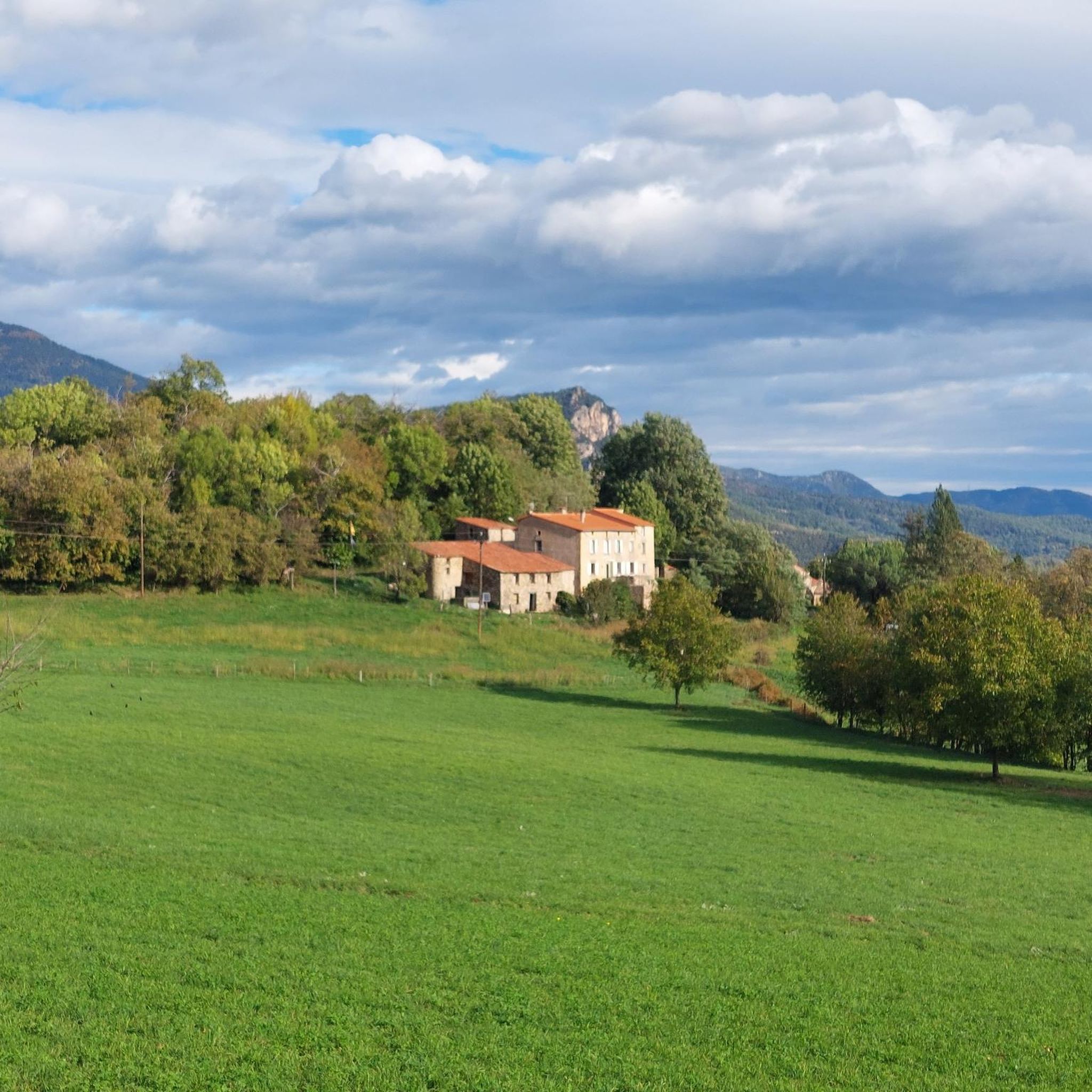
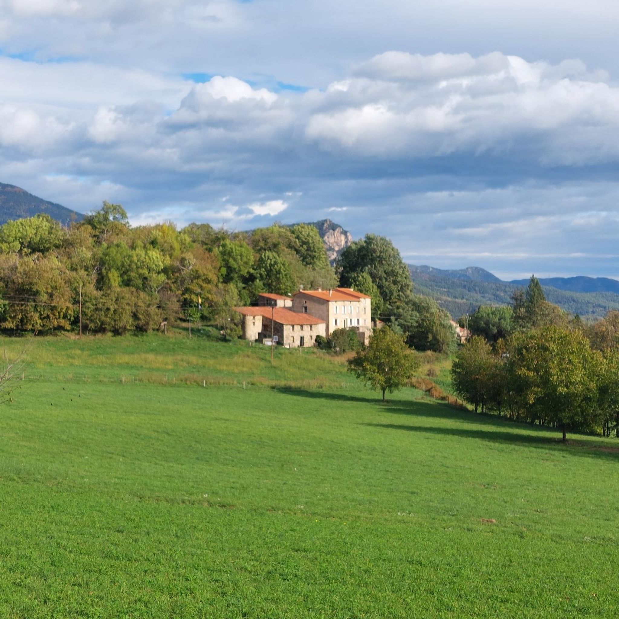
From here, you can see the summit of Canigou. The panorama is breathtaking! This giant of the Pyrénées-Orientales, culminating at 2,784 meters. You can also enjoy a breathtaking view of Arles-sur-Tech.
1
0

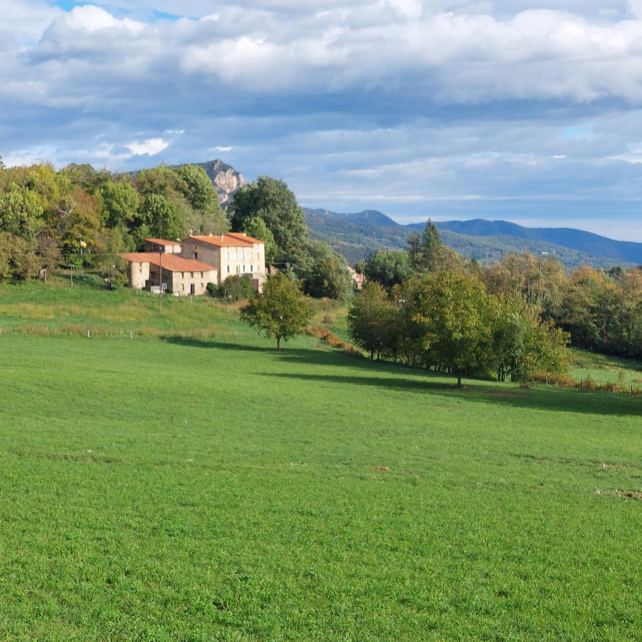
Unfortunately, visibility here isn't always good. You'll have to push your bike to reach the highest point, but then you'll enjoy the downhill section that awaits you. At night, it's a great place for stargazing.
2
0

Once you reach the top you will be rewarded with a great view. Greetings Marcus
1
0

At 1,373 meters high, the Puig de Bassegoda is located on the border between the regions of La Garrotxa and Alt Empordà. The climb accumulates a lot of positive unevenness in a short distance. For this reason, in the last section it has staples and chains to help itself.
2
1

This mountain, at 1056 m, is the highest point of the Serra de Bac Grillera and is included in the list of 100 peaks of the F.E.E.C. We find a geodetic vertex of the National Geographic Institute and the Cartographic Institute of Catalonia. To the north we can enjoy good views of the Salines, the town of Tapis and Maçanet de Cabrenys in the background, while to the south we have the Serra del Mont and the Bassegoda.
0
0

Small, very worthwhile detour from the signposted hiking trail
0
0
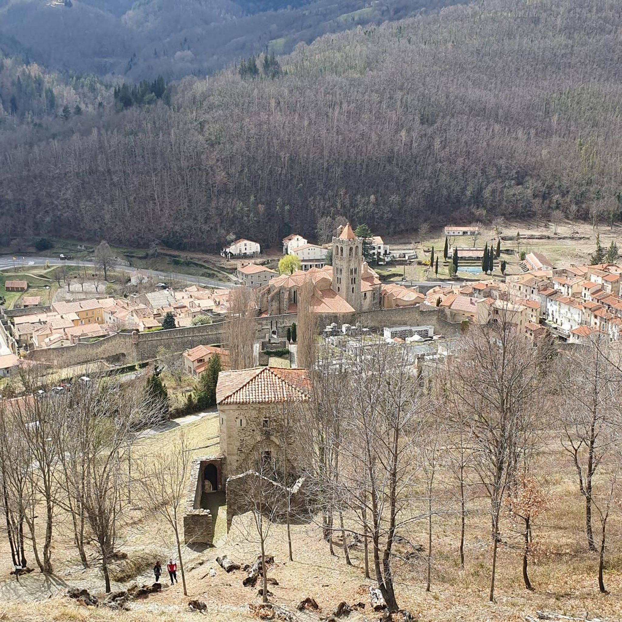
It is a building dating from the twelfth or early thirteenth century, although it probably existed before an earlier church. The word Prunarias appears in a document from the year 966 as belonging to Sant Pere de Camprodon. The building is mentioned again in 1017. It seems that from shortly after 966 it belonged to the priory of Santa Maria del Coll de Panissars, a situation that must have been maintained until the beginning of the 17th century. In 1617 the church was joined to that of Sant Llorenç d'Oix. In 1661 there were 3 altars: the one of Santa Bàrbara, the one of Santa Caterina and the one of Sant Bartomeu. The church was damaged during the Civil War of 1936-39. The whole complex was completely restored between 1972-1979 by the Friends of Alta Garrotxa. Inside, different artistic pieces were kept, such as a tombstone representing the burial of a lady from the castle of Bestracà, which was damaged during the riots of 1936. Some of the fragments were deposited in the Museum of Olot by Dr. Joaquim Danès. Until the end of the 19th century, a Romanesque carving was venerated there, today deposited in the Museu d'Art de Catalunya, from the Plandiura collection. The fragments of an altarpiece representing the life of the saint are kept in the Parish Museum of Olot. From 1972 to 1981, restoration work was carried out, which meant that the building built on the nave during the 17th and 18th centuries was abandoned, as well as the one that turned the old belfry into a tower, rebuilt after a lightning strike. destroyed it in September 1978.
0
1
Its characteristic pointed shape, its height and the fact that it is isolated from other nearby peaks make it easily identifiable. At the foot of the Bassegoda hill on its north-eastern slope, the Borró river, a tributary of the Fluvià, is born. It is actually two peaks separated by a gap. The western one (1363m) is called Taula d'en Gustí and the eastern one (1373m), Taula d'en Sala and is what is properly considered the summit. It seems that the toponym Bassegoda comes from two Basque words: basa, which means 'wilderness, desert', and goiti, which means 'summit, height'; thus Basagoiti would mean 'barren peak', referring to being an absolutely rocky lookout but with excellent 360º views from the Gulf of Roses to Canigó.
2
2
Frequently Asked Questions
What are some prominent mountain peaks and natural features around Serralongue?
Serralongue offers access to a diverse mountainous environment. You can explore local peaks like Mont Negre, which is the highest point within the commune itself. Other significant features include the majestic Pic du Canigou, often called the "sacred mountain of the Catalans," and the cross-border summit of Pic de Costabonne. The unique red earth landscapes of Pla de la Muga also provide a distinct natural experience.
What are the highest mountain peaks near Serralongue?
The most dominant and highest peak visible from Serralongue is the Pic du Canigou, rising to 2,784 meters. Another significant high point is Pic de Costabonne, at 2,465 meters, located on the border between France and Spain. Within the commune of Serralongue, Mont Negre is the highest point at 1,425 meters.
Are there challenging hikes to mountain peaks near Serralongue?
Yes, several peaks offer challenging ascents. The Pic du Canigou is a premier destination for hiking enthusiasts, often requiring a multi-day trek. The Pic de Costabonne also involves a demanding hike to its summit. For a challenging climb with historical significance, consider Bac Grillera Castle, a 998m peak with sections equipped with chains. Another challenging option is Puig de Bassegoda, which has a lot of positive elevation gain in a short distance, with staples and chains in its last section.
What natural features and viewpoints can I explore around Serralongue?
The region boasts several stunning viewpoints and natural features. You can find a Panoramic View of the Canigou, offering breathtaking vistas of the Pyrénées-Orientales and Arles-sur-Tech. The Pla de la Muga, straddling the French-Spanish border, is known for its unique red earth landscapes. Additionally, the View from Serre de la Garsa provides a great reward after a climb, and is excellent for stargazing at night.
Are there any historical sites or culturally significant peaks in the area?
Yes, the region is rich in history and culture. The Pic du Canigou holds significant cultural importance for Catalans, with an annual "Canigou Flame" ceremony. Mont Negre has historical significance as a strategic observation post. You can also visit Santa Bàrbara de Pruneres, a well-restored Romanesque hermitage dating from the 12th or 13th century, offering views of the Alta Garrotxa.
What is the best time of year to visit the mountain peaks around Serralongue for hiking?
The diverse climate zones, ranging from Mediterranean to Alpine, mean that conditions vary. Generally, late spring to early autumn (May to October) offers the most favorable weather for hiking, avoiding winter snows at higher altitudes and the intense heat of mid-summer. Always check local weather conditions before heading out.
What outdoor activities can I do near the mountain peaks around Serralongue?
The area around Serralongue is ideal for various outdoor activities. You can find numerous hiking trails, including moderate loops like the "Le Catalan loop from Serralongue" or more difficult ones such as the "Pla de la Muga – Le Catalan loop from Serralongue." For cycling enthusiasts, there are challenging routes like the "Going down from Molló – Prats de Molló loop." Running trails are also available, with options like the "Coll de les Falgueres loop." You can find more details on these activities in the Hiking around Serralongue, Cycling around Serralongue, and Running Trails around Serralongue guides.
Are there hiking trails near these mountain peaks?
Yes, there are extensive hiking opportunities. The Pic du Canigou massif alone offers 750 kilometers of marked trails. Mont Negre has several marked trails, including a medium-difficulty 17.8 km loop from Serralongue. Routes to Puig dels Sarraïns often involve significant elevation gain, some starting from Prats-de-Mollo-la-Preste. For more options, explore the Hiking around Serralongue guide.
What do visitors enjoy most about the mountain peaks around Serralongue?
Visitors particularly appreciate the exceptional panoramic views, which can stretch to the Mediterranean Sea from higher peaks like Canigou. The diverse landscapes, from the unique red earth of Pla de la Muga to the varied rock layers of Mont Negre, are also highly valued. The combination of challenging treks and culturally significant sites provides a rich experience for nature lovers and hikers.
Are there any peaks that offer 360° views?
Yes, Pic de Costabonne is known for its superb 360° views that encompass the Canigou massif and other peaks in Spain. Puig dels Sarraïns also offers beautiful panoramas over the Vallespir summits, the Albères, the Empordà, the Garrotxa, the Canigou massif, and the upper Tech Valley.
Can I find accommodation near the mountain peaks for longer treks?
For longer treks, especially when ascending the challenging Pic du Canigou, several refuges are available. Refuges such as Mariailles and Cortalets provide accommodation for those undertaking multi-day hikes in the Canigou massif.
Most popular routes around Serralongue
Most popular attractions around Serralongue

Get inspired with the komoot mobile app


Explore more
See even more amazing summits around Serralongue with these guides:
