Top 12 Mountain Passes around Airuno
Mountain passes around Airuno are situated in a varied landscape, extending from the foothills of Monte Genesio to a plain near the Adda river. While Airuno itself does not feature prominent mountain passes directly within its boundaries, the surrounding region offers several notable routes. The area is known for its nature trails, providing various itineraries for hiking enthusiasts amidst scenic landscapes. This region connects the San Martino Valley with the Imagna Valley.
Best mountain passes around Airuno
- The most popular…
Last updated: June 26, 2026
Valcava Pass
Highlight • Mountain Pass
Translated by Google •
Tip by

Pertüs Pond
Highlight • Lake
Translated by Google •
Tip by

Sign up now to discover places like this
Get recommendations on the best single tracks, peaks, & plenty of other exciting outdoor places.
Sign up for free
Monte Ocone Summit (1,356 m)
Highlight • Summit
Translated by Google •
Tip by

Valcava Pass (Torre de' Busi)
Highlight • Mountain Pass
Translated by Google •
Tip by

Orrido di Erve Climb
Highlight (Segment) • Climb
Translated by Google •
Tip by

Sign up for free to discover even more mountain passes around Airuno.
Sign up for free
Already have an account?
Start today with a free account
Your next adventure awaits.
Login or Signup
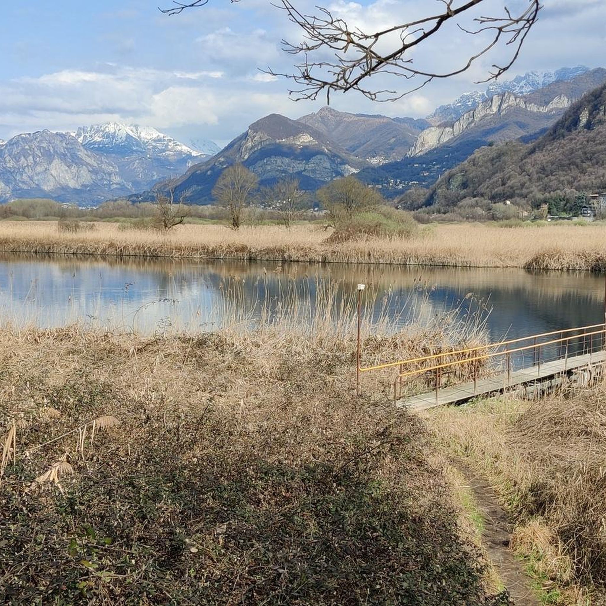
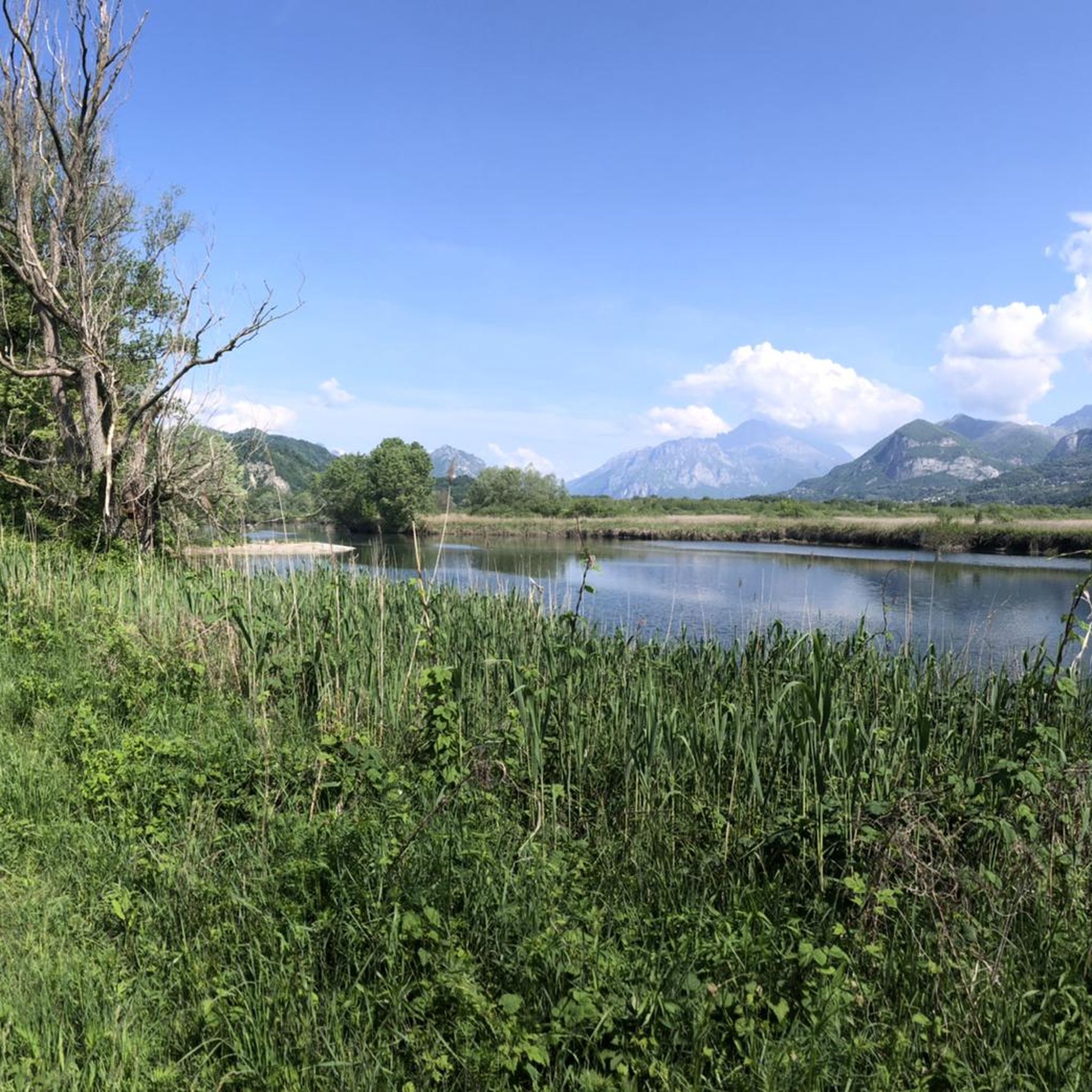
Tips from the Community

A legendary climb in the Bergamo valleys.
8
0

A stunning mountain pass to escape the city and quickly feel away from the world.
1
1

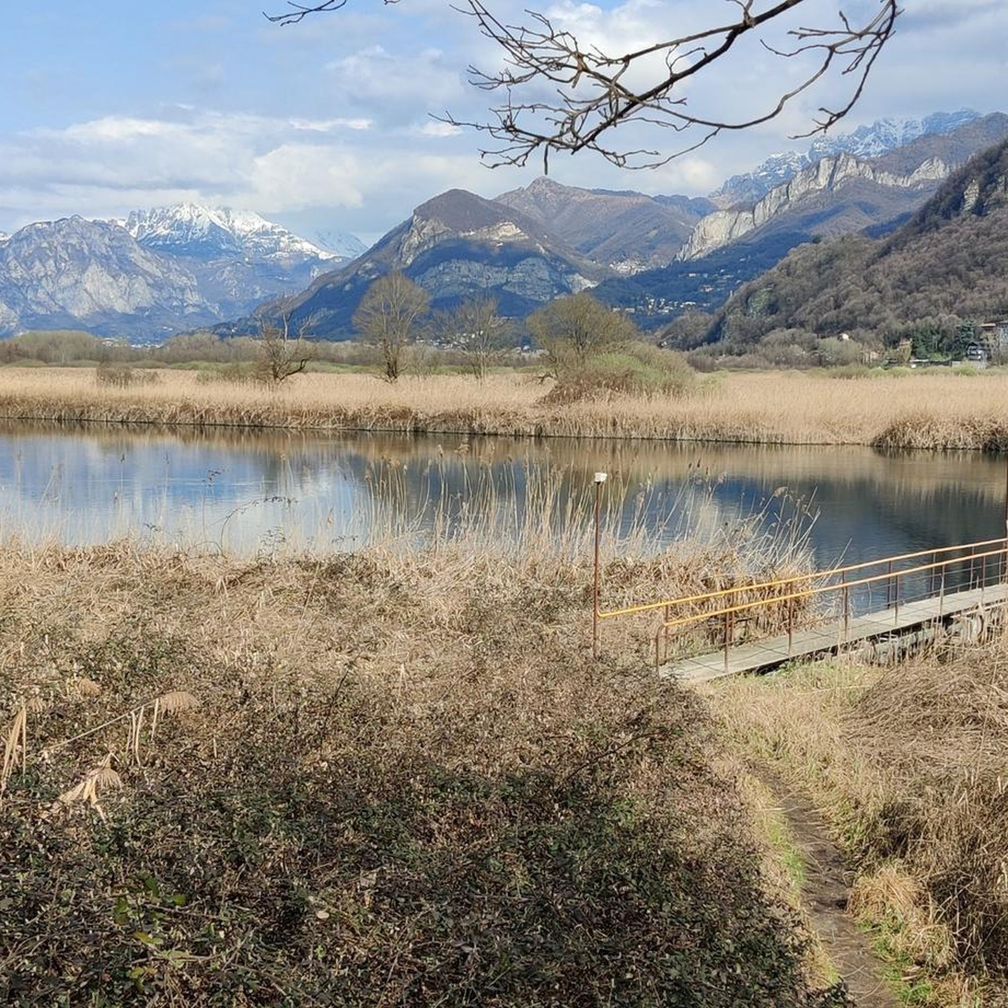
The Perus lake is located at the pass of the same name (1300 m) which connects the San Martino Valley and the Imagna Valley. The name is in Bergamo dialect and means "hole", indicating a rather narrow passage. We talked about it during the gravel tour around Resegone in this article: https://outdoortest.it/resegone-360-con-la-bici-gravel/
2
0
Ascent but above all descent to be done very carefully.
16
0

It is a little frequented area and therefore quiet, an impressive panorama, you go up and down on the same side. Seeing is believing.
1
0

The description of Alessandro's journey is perfect. I confirm everything, not difficult but not for everyone. However varied and fun as well as scenic.
1
0

Beautiful and panoramic peak for expert hikers. The climb is steep and at times exposed on both sides of the climb. The concatenation of: Anticima del Monte Ocone (1340 m), Ocone (1356 m) and Corna Camozzera (1452 m) is recommended. Follow path 588 (which runs for the most part on the watershed) always well signposted with cai symbols or yellow stamps.
2
0

Point of arrival and rest before tackling the beautiful slopes of the area
1
0
Frequently Asked Questions
Which mountain passes around Airuno are known for challenging climbs?
The Valcava Pass is particularly well-known for its challenging ascent, especially for cyclists, with gradients reaching up to 18% in some sections. The climb to Monte Ocone Summit (1,356 m) is also very steep and rocky, requiring careful navigation.
What kind of views can I expect from the mountain passes near Airuno?
From the summit of Valcava Pass, you can enjoy breathtaking panoramic views of the Orobic Alps. Pertüs Pond offers enchanting views of the Alps, including Monte Rosa, Cervino, Adamello, Resegone, and Grigne. The Monte Ocone Summit provides a beautiful view of the plain, Grigne, Resegone, Monte Rosa, and Adamello.
Are there family-friendly spots among the mountain passes or nearby natural features?
Yes, Pertüs Pond is considered family-friendly, offering a small lake with a refreshment area and lawns for resting. While not a traditional pass, it's a popular natural highlight in the region.
What outdoor activities can I do near the mountain passes around Airuno?
The region offers a variety of outdoor activities. You can find numerous running trails, such as the 'Panorama on the Adda River – Brivio Castle loop from Airuno', which you can explore in the Running Trails around Airuno guide. For cyclists, there are challenging road cycling routes like the 'Lecco Lakeside Promenade – Orrido della Val Taleggio loop' in the Road Cycling Routes around Airuno guide, and gravel biking options including a 'Valcava Pass loop' in the Gravel biking around Airuno guide.
What is the best time of year to visit the mountain passes around Airuno?
For hiking to summits like Monte Ocone Summit, the best months are typically May to October. Winter ascents are not recommended, especially after snowfalls or when snow freezes, due to steep slopes and potential slipping hazards.
Where can I find refreshments or facilities near these mountain passes?
At the summit of Valcava Pass, there is a kiosk open on weekends. Pertüs Pond also features a refreshment area, making it a convenient stop for visitors.
Are there any unique natural features to explore besides the passes themselves?
Yes, the Orrido di Erve Climb takes you through a ravine overlooking a lake, offering an impressive and quiet panoramic experience. Pertüs Pond is a small lake with lawns for resting and stunning views of the surrounding Alps.
What should I know about the terrain and difficulty for hiking around Monte Ocone Summit?
The climb to Monte Ocone Summit is very steep, with roots and rocks making up much of the terrain. Some sections may require using your hands. The path to the main summit (588) is rated 'E' (Excursionist), while reaching the second peak presents greater technical difficulties ('EE' - Expert Excursionist). It's not recommended in wet conditions due to slippery earth and leaves.
What do visitors particularly enjoy about the mountain passes and natural spots near Airuno?
Visitors appreciate the challenging climbs like Valcava Pass for the sense of accomplishment and the panoramic views of the Orobic Alps. The tranquility and impressive scenery of places like Orrido di Erve Climb and the enchanting views from Pertüs Pond are also highly valued.
Are there any specific safety considerations for descending Valcava Pass?
Yes, visitors consistently advise that both the ascent and, especially, the descent of Valcava Pass should be done very carefully. The road surface can be rough in several places, and the steep gradients require attention.
Can I find circular walks or loop routes involving these mountain passes?
Yes, Valcava Pass allows for the completion of scenic loop routes, particularly by descending towards Costa Imagna after reaching the summit. You can also find a 'Valcava Pass loop from Calolziocorte-Olginate' for gravel biking in the Gravel biking around Airuno guide.
Most popular attractions around Airuno

Get inspired with the komoot mobile app


Explore more
See even more epic mountain passes by checking out these guides around Airuno:
